Alger County (/ˌældʒər/ AL-jər) is a county in the Upper Peninsula of the U.S. state of Michigan. As of the 2020 Census, the population was 8,842. Its county seat is Munising. The Pictured Rocks National Lakeshore is located within the county.
| Name: | Alger County |
|---|---|
| FIPS code: | 26-003 |
| State: | Michigan |
| Founded: | March 17, 1885 |
| Named for: | Russell A. Alger |
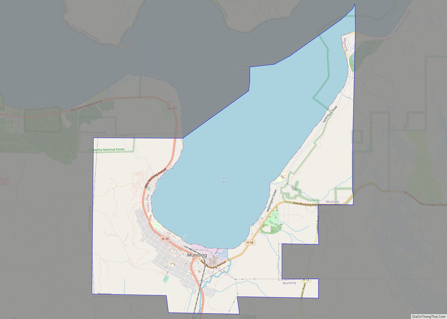
| Seat: | Munising |
| Largest city: | Munising |
| Total Area: | 5,048 sq mi (13,070 km²) |
| Land Area: | 915 sq mi (2,370 km²) |
| Total Population: | 8,842 |
| Population Density: | 10/sq mi (4/km²) |
| Time zone: | UTC−5 (Eastern) |
| Summer Time Zone (DST): | UTC−4 (EDT) |
| Website: | www.algercounty.gov |
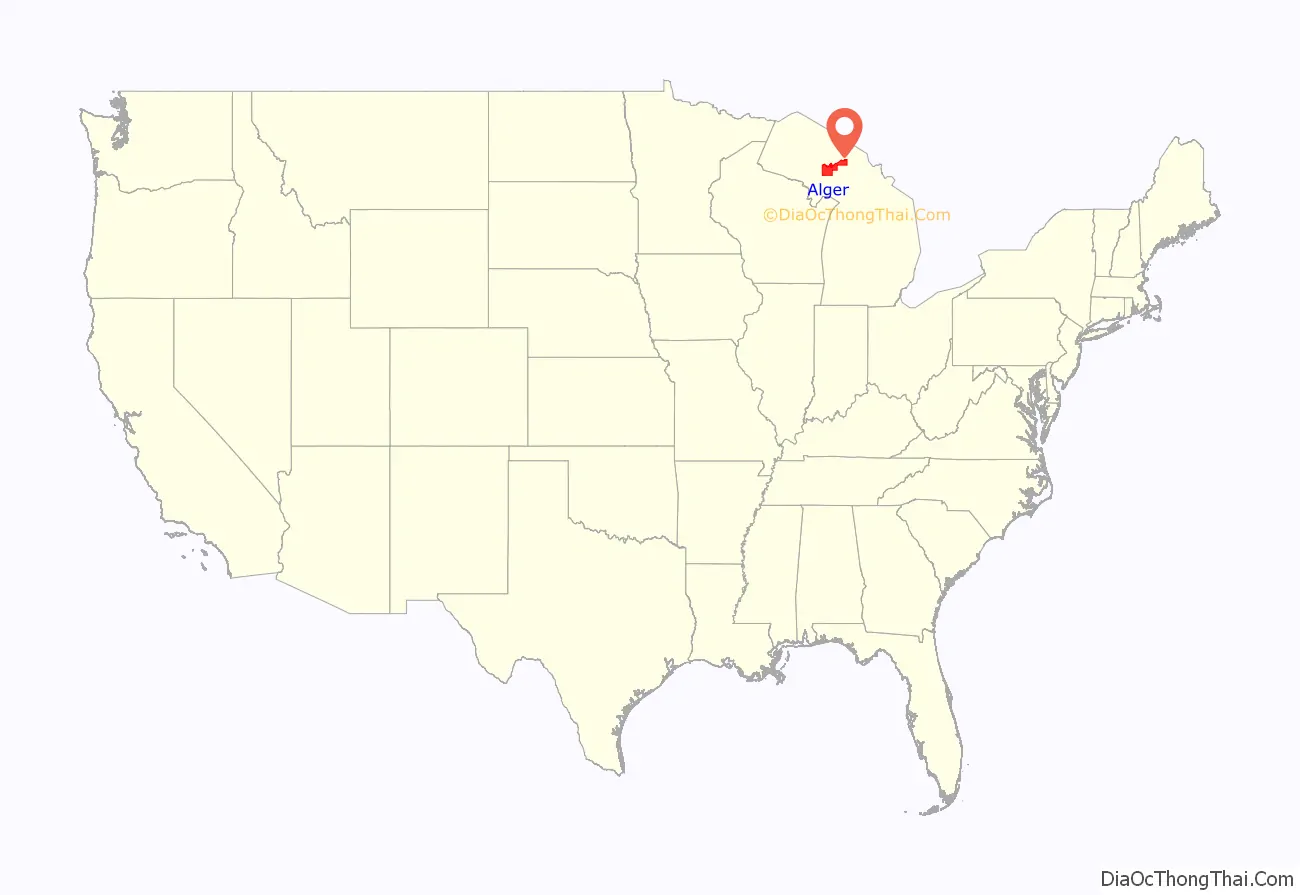
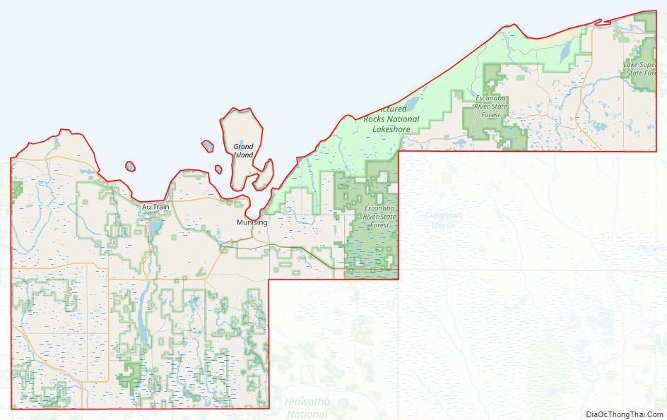
Alger County location map. Where is Alger County?
History
Alger County was detached from Schoolcraft County, set off and organized in 1885. The county was named for lumber baron Russell Alexander Alger, who was elected as a Michigan Governor, and US Senator, and appointed as US Secretary of War during the William McKinley Presidential administration. See also, List of Michigan county name etymologies, List of Michigan counties, and List of abolished U.S. counties.
Alger County Road Map
Geography
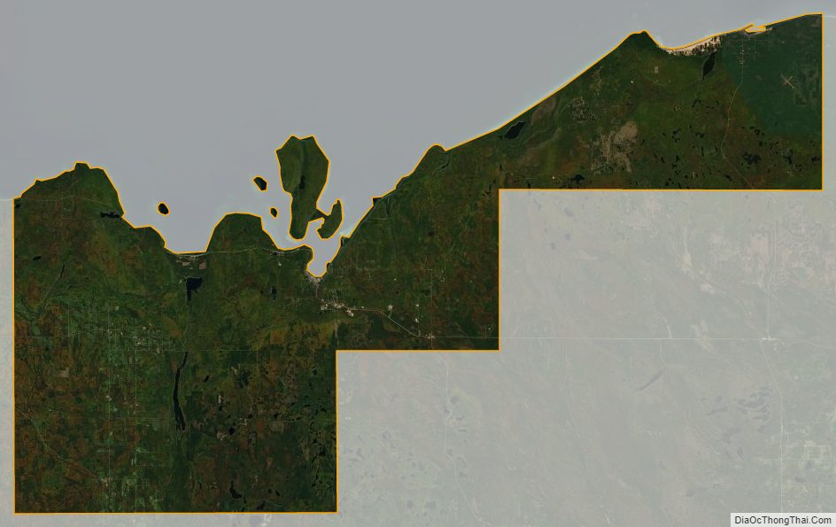
According to the U.S. Census Bureau, the county has a total area of 5,048 square miles (13,070 km), of which 915 square miles (2,370 km) is land and 4,133 square miles (10,700 km) (82%) is water. It is the second-largest county in Michigan by total area, mainly because of Lake Superior on the north side of the county.
Highways
- US 41
- M-28
- M-67
- M-77
- M-94
- H-01
- H-03
- H-05
- H-11
- H-13
- H-15
- H-44
- H-52
- H-58, passes through Pictured Rocks National Lakeshore.
- FFH 13
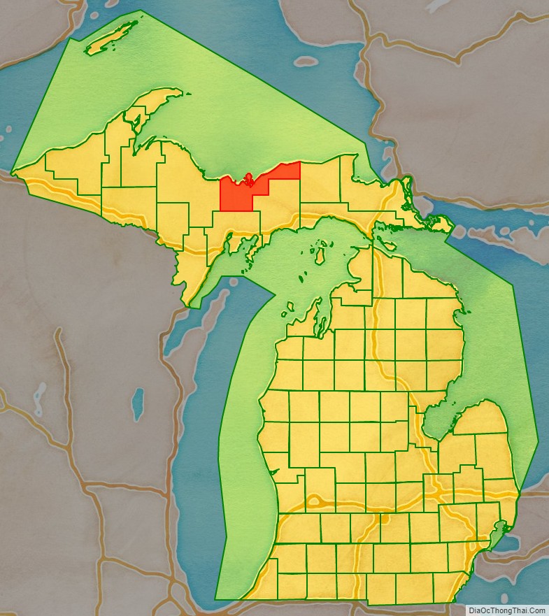
Adjacent counties
- Luce County – east
- Schoolcraft County – southeast
- Delta County – south
- Marquette County – west
- Thunder Bay District, Ontario – north
National protected areas
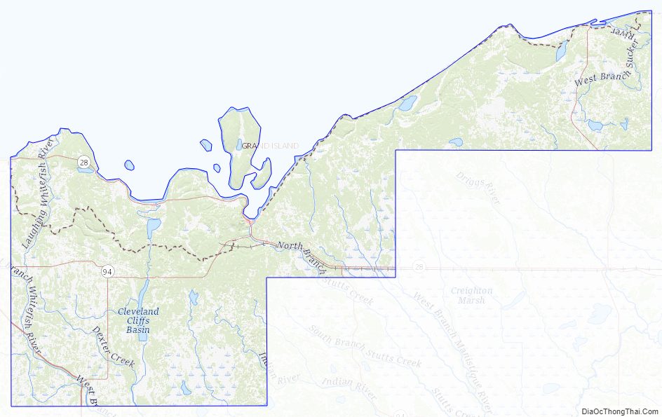
- Grand Island National Recreation Area
- Hiawatha National Forest (part)
- Pictured Rocks National Lakeshore
Alger County Topographic Map
Alger County Satellite Map
Alger County Outline Map