Alpena County (/ælˈpiːnə/ al-PEE-nə) is a county in the U.S. state of Michigan. As of the 2020 Census, the population was 28,907. The county seat is Alpena. It is considered to be part of Northern Michigan.
Alpena County comprises the Alpena, MI Micropolitan Statistical Area.
| Name: | Alpena County |
|---|---|
| FIPS code: | 26-007 |
| State: | Michigan |
| Founded: | February 7, 1857 |
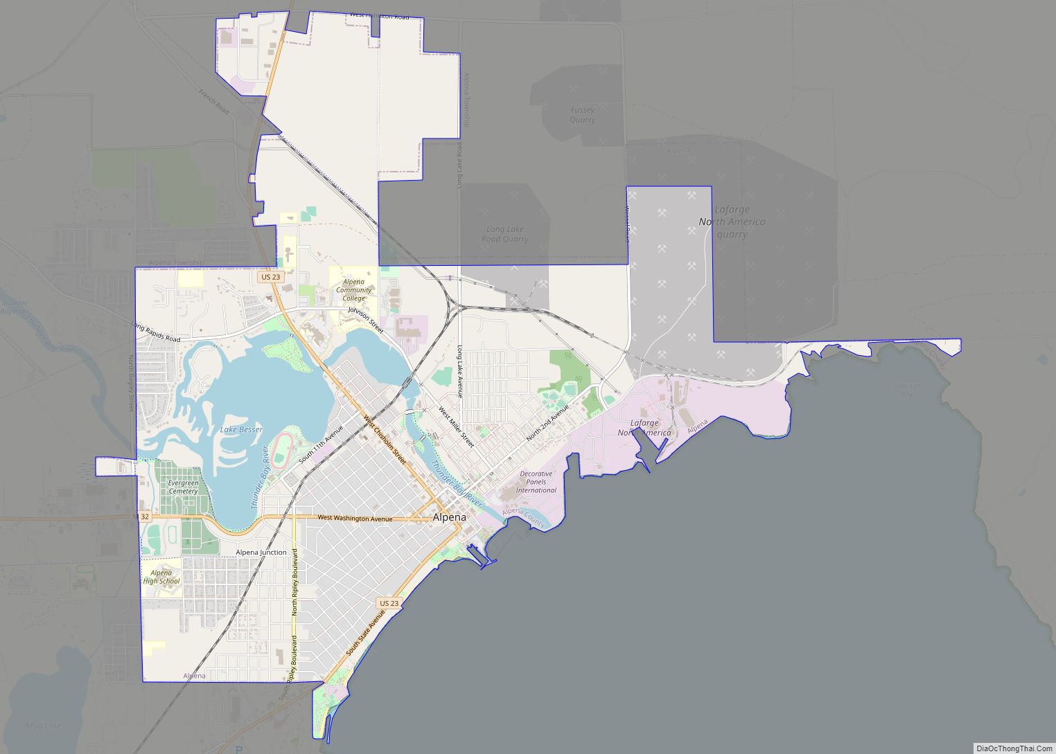
| Seat: | Alpena |
| Largest city: | Alpena |
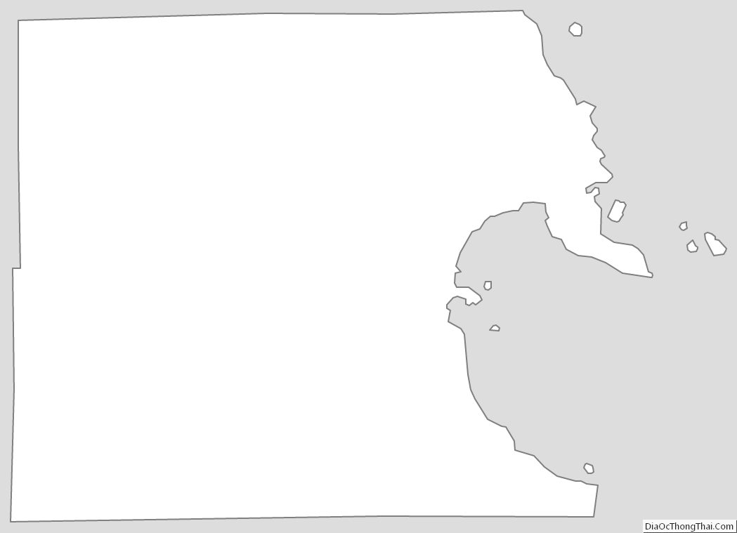
| Total Area: | 1,695 sq mi (4,390 km²) |
| Land Area: | 572 sq mi (1,480 km²) |
| Total Population: | 28,907 |
| Population Density: | 66/sq mi (25/km²) |
| Time zone: | UTC−5 (Eastern) |
| Summer Time Zone (DST): | UTC−4 (EDT) |
| Website: | www.alpenacounty.org |
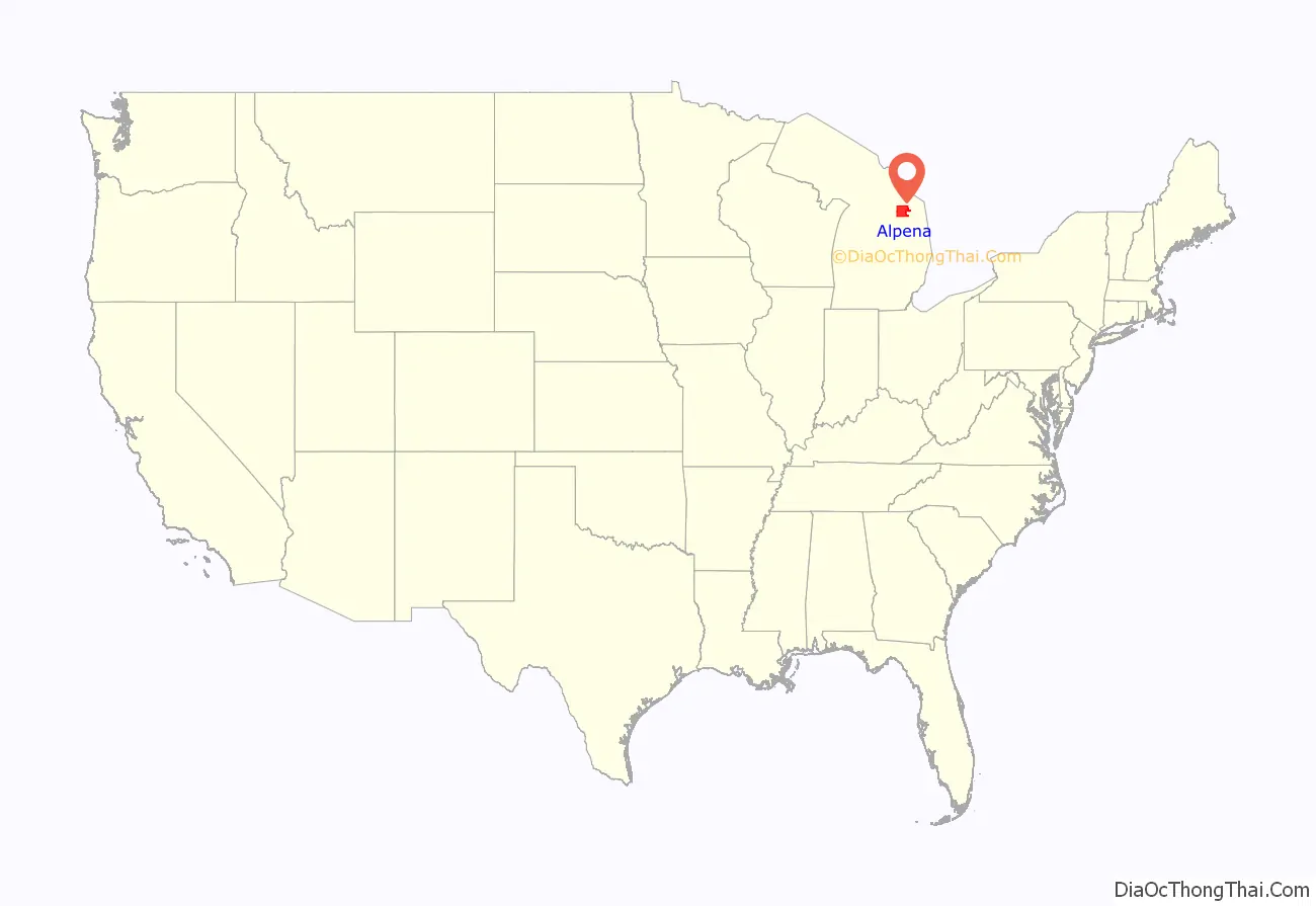
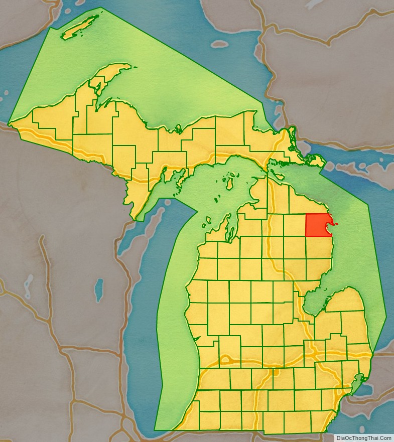
Alpena County location map. Where is Alpena County?
History
The county was created by the Michigan Legislature in 1840 as Anamickee County, then renamed in 1843 to Alpena County, a pseudo-Native American word — a neologism coined by Henry Schoolcraft, meaning “a good partridge country.” This was part of a much larger effort to rename a great many of the Michigan counties at the time. It was officially organized in 1857.
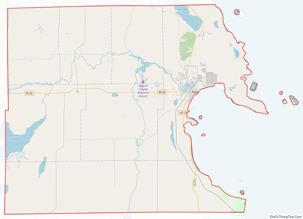
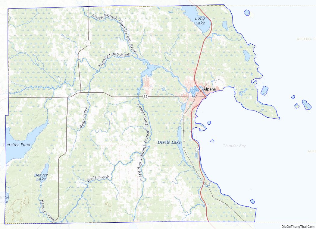
Alpena County Road Map
Geography
According to the U.S. Census Bureau, the county has a total area of 1,695 square miles (4,390 km), of which 572 square miles (1,480 km) is land and 1,123 square miles (2,910 km) (66%) is water.
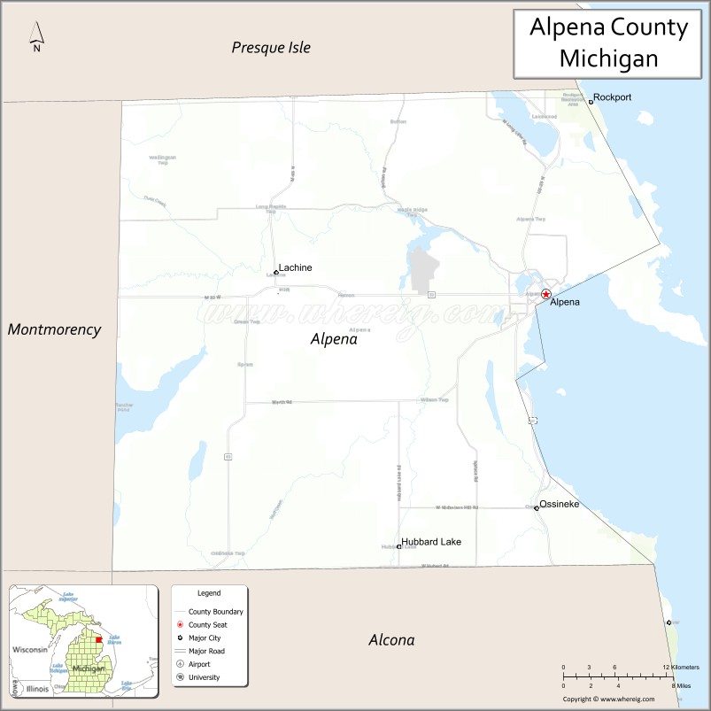
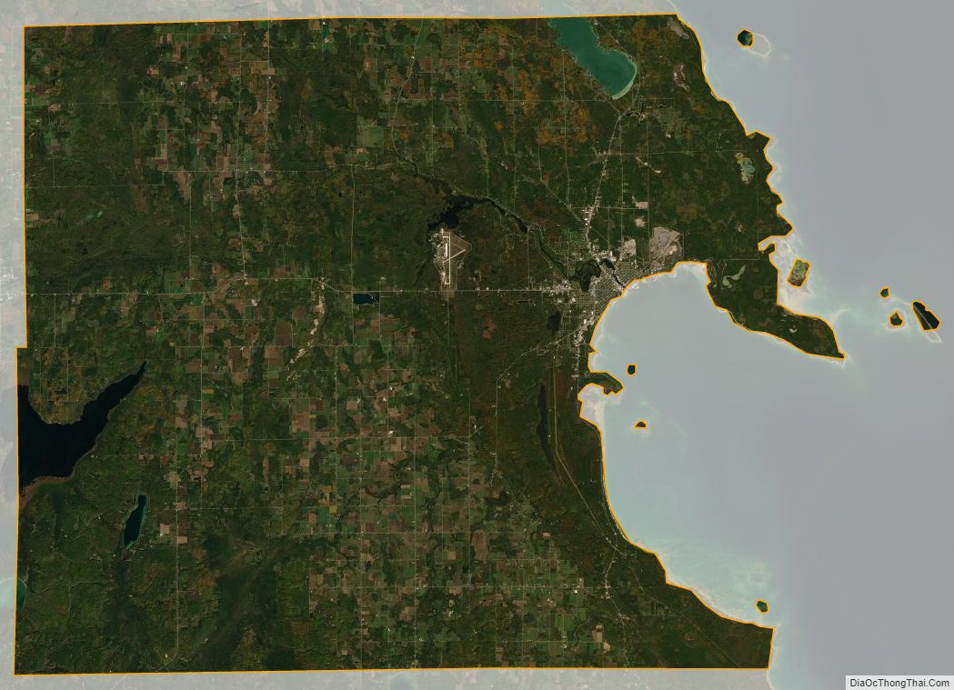
Alpena County is in the northeast of the mitten-shaped Lower Peninsula of Michigan. Lake Huron and Thunder Bay are to the east, Alcona County to the south, Oscoda County to the southwest, Montmorency County to the west, and Presque Isle County to the north. Most of the county is drained by the Thunder Bay River and its tributaries. The Mackinaw State Forest occupies large tracts of land in the county. The Thunder Bay National Marine Sanctuary is offshore adjacent to the county.
The 45th parallel bisects the county, meaning it is halfway between the North Pole and the equator.
Several islands in Thunder Bay are part of the Michigan Islands National Wildlife Refuge. There are automated lighthouses on Middle Island and Thunder Bay Island.
Geographic features
- Thunder Bay River
- Long Lake
- Grand Lake
Glaciers shaped the area, creating a unique regional ecosystem. A large portion of the area is so-called Grayling outwash plain, consisting of broad outwash plain including sandy ice-disintegration ridges; jack pine barrens, some white pine-red pine forest, and northern hardwood forests. Large lakes were created by glacial action. Some of the inland lakes are truly massive.
Adjacent counties
- Alcona County – south
- Oscoda County – southwest
- Montmorency County – west
- Presque Isle County – north
Major highways
- US 23 serves Alpena on its way along the Lake Huron shoreline. To the north, it passes past Long Lake and Grand Lake, thence to Rogers City, Michigan, through Cheboygan, Michigan, and on to Mackinaw City, Michigan, where it ends and connects to I-75 and the Mackinac Bridge.
- M-32 ends its 100-mile (160 km) easterly cross-peninsular route from Lake Michigan to Lake Huron within downtown Alpena at an intersection with US 23.
- M-65 is a more direct route to the south than US 23, which meanders along the lake shore through many villages and towns. M-65 goes north to Rogers City.
National protected area
- Michigan Islands National Wildlife Refuge (part)
Alpena County Topographic Map
Alpena County Satellite Map
Alpena County Outline Map