Munising (/mjuːnəsɪŋ/ MYU-nə-sing) is a city in the Upper Peninsula of the U.S. state of Michigan. The population was 1,986 at the 2020 census. It is the county seat of Alger County. The city is partially surrounded by Munising Township, but the two are administered autonomously.
Located on the southern shore of Lake Superior in the Upper Peninsula, it serves as the western gateway to Pictured Rocks National Lakeshore.
| Name: | Munising city |
|---|---|
| LSAD Code: | 25 |
| LSAD Description: | city (suffix) |
| State: | Michigan |
| County: | Alger County |
| Incorporated: | 1869 (village) 1915 (city) |
| Elevation: | 614 ft (187 m) |
| Total Area: | 9.04 sq mi (23.41 km²) |
| Land Area: | 5.26 sq mi (13.62 km²) |
| Water Area: | 3.78 sq mi (9.79 km²) |
| Total Population: | 1,986 |
| Population Density: | 377.71/sq mi (145.84/km²) |
| Area code: | 906 |
| FIPS code: | 2656200 |
| GNISfeature ID: | 1620952 |
Online Interactive Map
Click on ![]() to view map in "full screen" mode.
to view map in "full screen" mode.
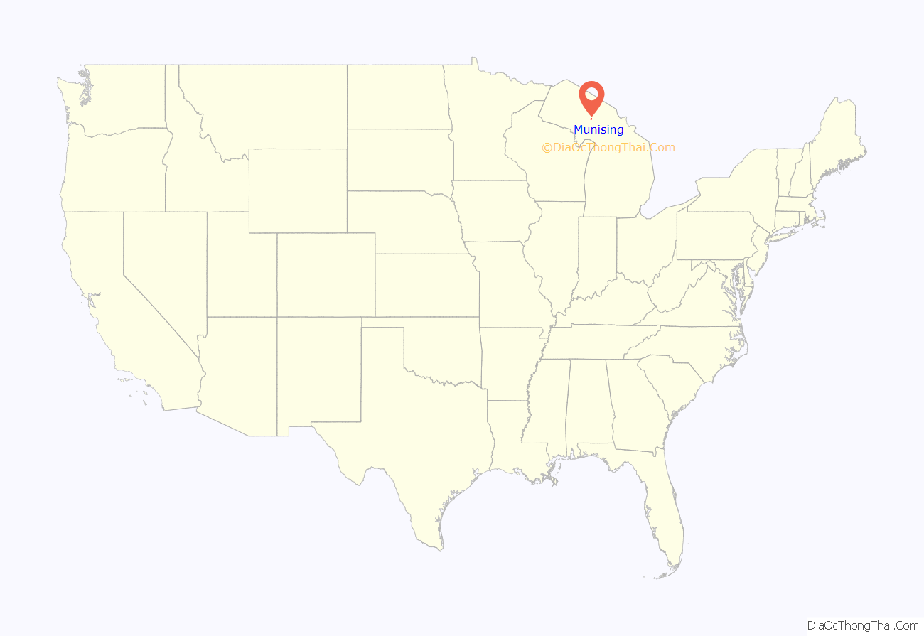
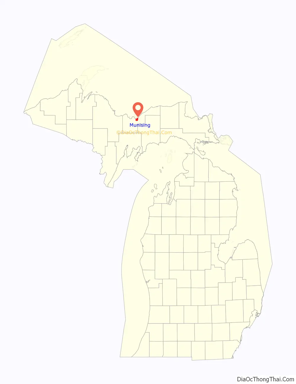
Munising location map. Where is Munising city?
History
The name for the city comes from the Ojibwe word minisiing, “at the island”. A post office was established as the Munising post office on December 22, 1868. It was renamed as Gogarnville on October 23, 1889, when Julius Gogarn was appointed as postmaster. The office was moved to his farm. He was a German-born American Civil War veteran and first Supervisor of Munising Township. That post office continued until July 15, 1893.
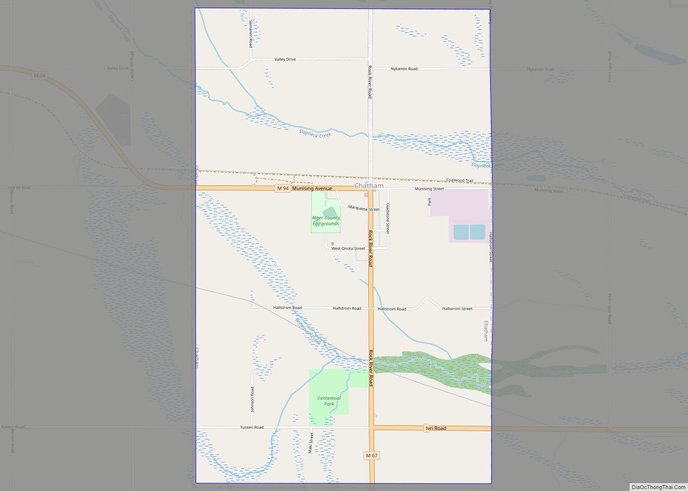
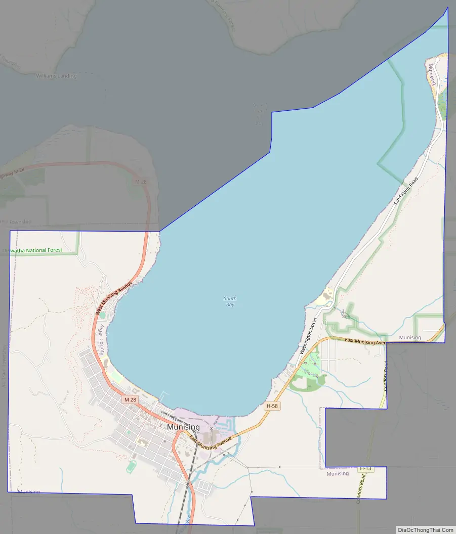
Munising Road Map
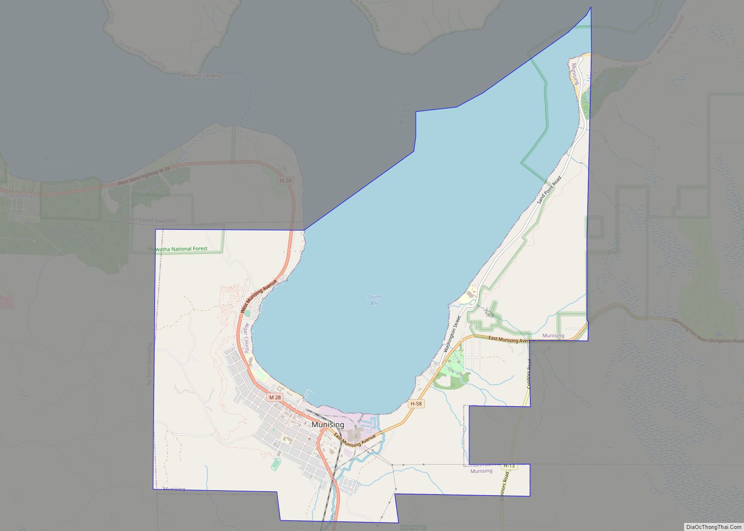
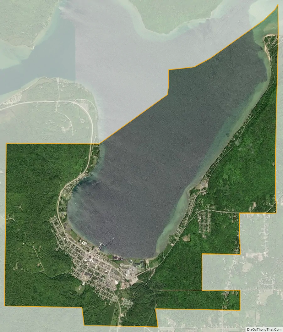
Munising city Satellite Map
Geography
Munising is located on the southern edge of Munising Bay at 46°24′40″N 86°38′52″W / 46.41111°N 86.64778°W / 46.41111; -86.64778, also known as the South Bay of Grand Island Harbor, across from Grand Island around the mouth of the Anna River. It is the primary embarkation point for cruises to Pictured Rocks National Lakeshore and Grand Island National Recreation Area. Grand Island is located one half mile north in Munising Bay.
According to the United States Census Bureau, the city has a total area of 9.03 square miles (23.39 km), of which 5.25 square miles (13.60 km) is land and 3.78 square miles (9.79 km) is water.
The Munising area has many waterfalls including Alger Falls, Horseshoe Falls, Memorial Falls, Munising Falls, Miners Falls, Scott Falls, Tannery Falls and Wagner Falls.
See also
Map of Michigan State and its subdivision:- Alcona
- Alger
- Allegan
- Alpena
- Antrim
- Arenac
- Baraga
- Barry
- Bay
- Benzie
- Berrien
- Branch
- Calhoun
- Cass
- Charlevoix
- Cheboygan
- Chippewa
- Clare
- Clinton
- Crawford
- Delta
- Dickinson
- Eaton
- Emmet
- Genesee
- Gladwin
- Gogebic
- Grand Traverse
- Gratiot
- Hillsdale
- Houghton
- Huron
- Ingham
- Ionia
- Iosco
- Iron
- Isabella
- Jackson
- Kalamazoo
- Kalkaska
- Kent
- Keweenaw
- Lake
- Lake Hurron
- Lake Michigan
- Lake St. Clair
- Lake Superior
- Lapeer
- Leelanau
- Lenawee
- Livingston
- Luce
- Mackinac
- Macomb
- Manistee
- Marquette
- Mason
- Mecosta
- Menominee
- Midland
- Missaukee
- Monroe
- Montcalm
- Montmorency
- Muskegon
- Newaygo
- Oakland
- Oceana
- Ogemaw
- Ontonagon
- Osceola
- Oscoda
- Otsego
- Ottawa
- Presque Isle
- Roscommon
- Saginaw
- Saint Clair
- Saint Joseph
- Sanilac
- Schoolcraft
- Shiawassee
- Tuscola
- Van Buren
- Washtenaw
- Wayne
- Wexford
- Alabama
- Alaska
- Arizona
- Arkansas
- California
- Colorado
- Connecticut
- Delaware
- District of Columbia
- Florida
- Georgia
- Hawaii
- Idaho
- Illinois
- Indiana
- Iowa
- Kansas
- Kentucky
- Louisiana
- Maine
- Maryland
- Massachusetts
- Michigan
- Minnesota
- Mississippi
- Missouri
- Montana
- Nebraska
- Nevada
- New Hampshire
- New Jersey
- New Mexico
- New York
- North Carolina
- North Dakota
- Ohio
- Oklahoma
- Oregon
- Pennsylvania
- Rhode Island
- South Carolina
- South Dakota
- Tennessee
- Texas
- Utah
- Vermont
- Virginia
- Washington
- West Virginia
- Wisconsin
- Wyoming