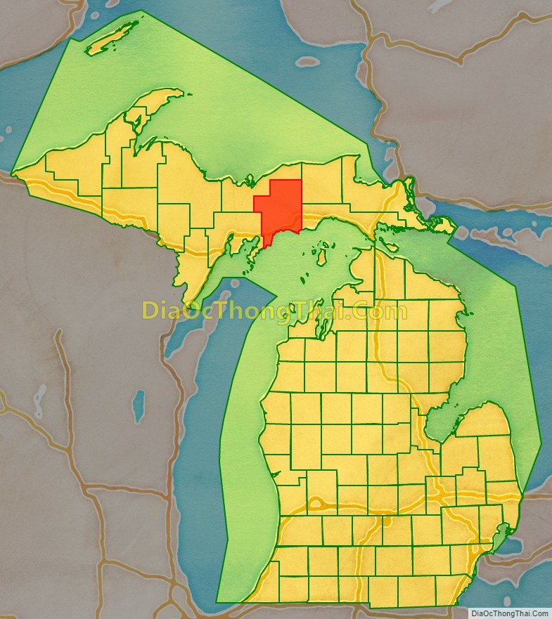
Schoolcraft County (/ˈskuːlkræft/ SKOOL-kraft) is a county located in the Upper Peninsula of the U.S. state of Michigan. As of the 2020 Census, the population was 8,047, making it Michigan’s fourth-least populous county. The county seat is Manistique, which lies along the northern shore of Lake Michigan. The county is named in honor of Henry Schoolcraft, who explored the area with the expedition of Lewis Cass. The county was founded in 1843 and organized in 1876. The county is largely rural and forested, with much of its western portion within Hiawatha National Forest.
| Name: | Schoolcraft County |
|---|---|
| FIPS code: | 26-153 |
| State: | Michigan |
| Founded: | 1843 |
| Named for: | Henry Schoolcraft |
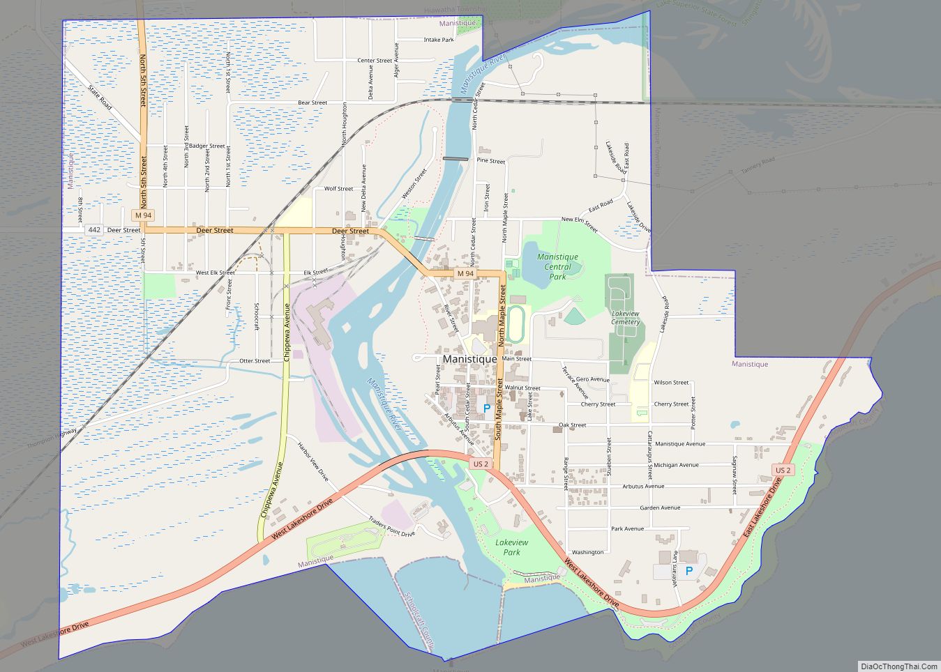
| Seat: | Manistique |
| Largest city: | Manistique |
| Total Area: | 1,884 sq mi (4,880 km²) |
| Land Area: | 1,171 sq mi (3,030 km²) |
| Total Population: | 8,047 |
| Population Density: | 7.2/sq mi (2.8/km²) |
| Time zone: | UTC−5 (Eastern) |
| Summer Time Zone (DST): | UTC−4 (EDT) |
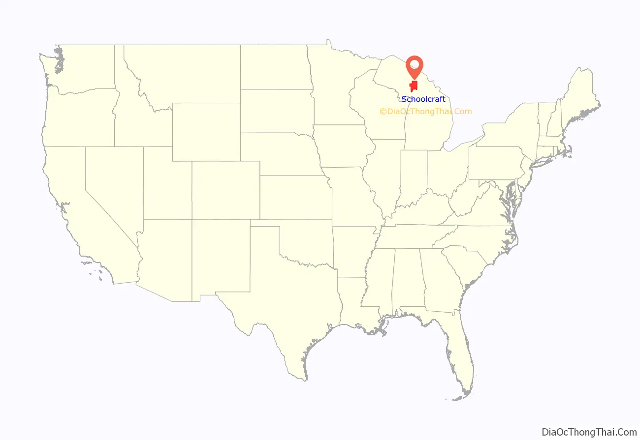
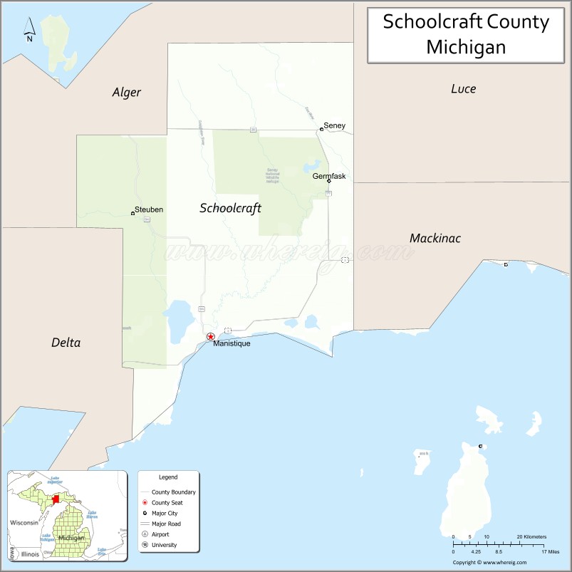
Schoolcraft County location map. Where is Schoolcraft County?
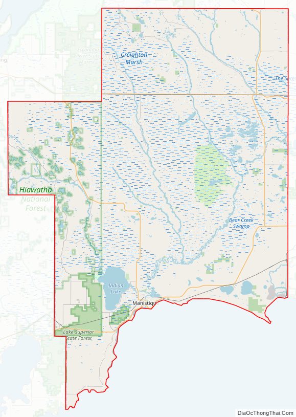
Schoolcraft County Road Map
Geography
According to the U.S. Census Bureau, the county has a total area of 1,884 square miles (4,880 km), of which 1,171 square miles (3,030 km) is land and 713 square miles (1,850 km) (38%) is water.
Major highways
- US 2 – runs east and NE across south edge of county. Passes Cooks, Manistique, Gulliver, Parkington, Blaney Park.
- M-28 – runs east–west across upper middle part of county. Passes Seney.
- M-77 – enters county near NE corner. Runs south past Seney to intersection with US2 near Blaney Park.
- M-94 – enters county near NW corner. Runs south and SE to intersection with US2 near Manistique.
- M-149 – enters near SW corner of county. Runs east to intersection with US2 at Manistique.
- H-13 / FFH 13 – runs north from Cooks through Hiawatha National Forest.
Airport
- Schoolcraft County Airport (IATA: ISQ, ICAO: ISQ, FAA LID: KISQ) – 3 miles NE of Manistique. County-owned public-use (general aviation). Two paved runways.
Adjacent counties
By land
- Delta County (west)
- Alger County (northwest)
- Luce County (northeast)
- Mackinac County (southeast)
By water
- Charlevoix County (southeast)
- Leelanau County (south)
National protected areas
- Hiawatha National Forest (part)
- Seney National Wildlife Refuge
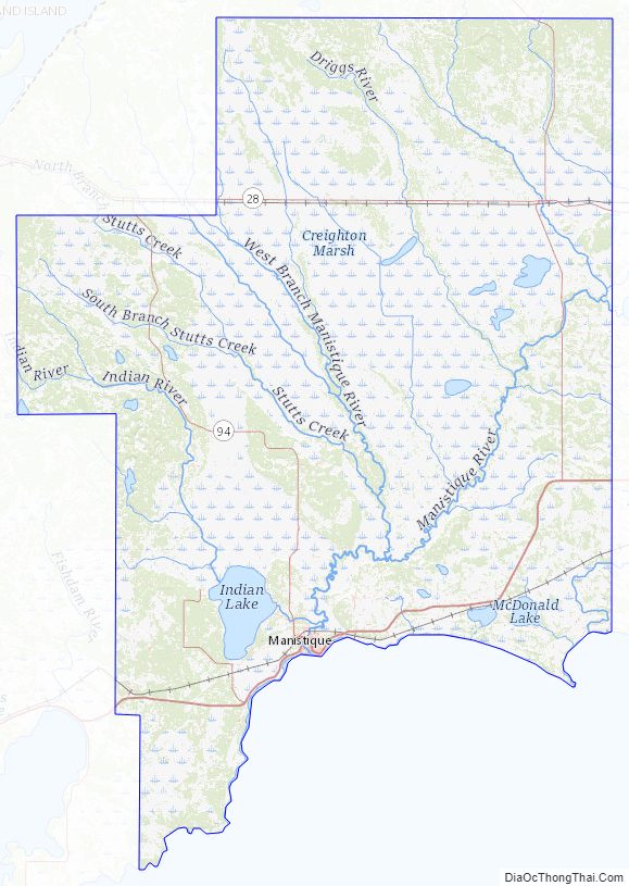
Schoolcraft County Topographic Map
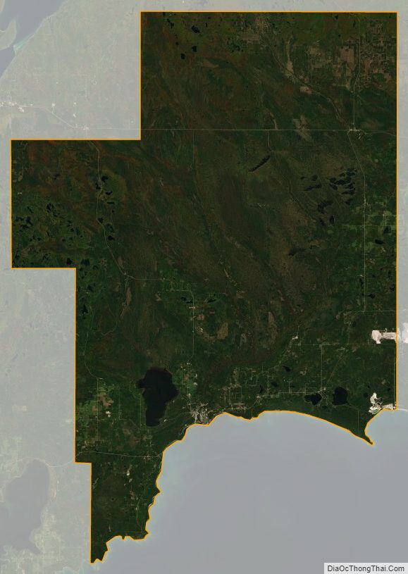
Schoolcraft County Satellite Map
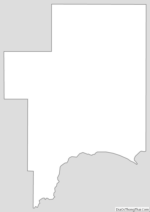
Schoolcraft County Outline Map