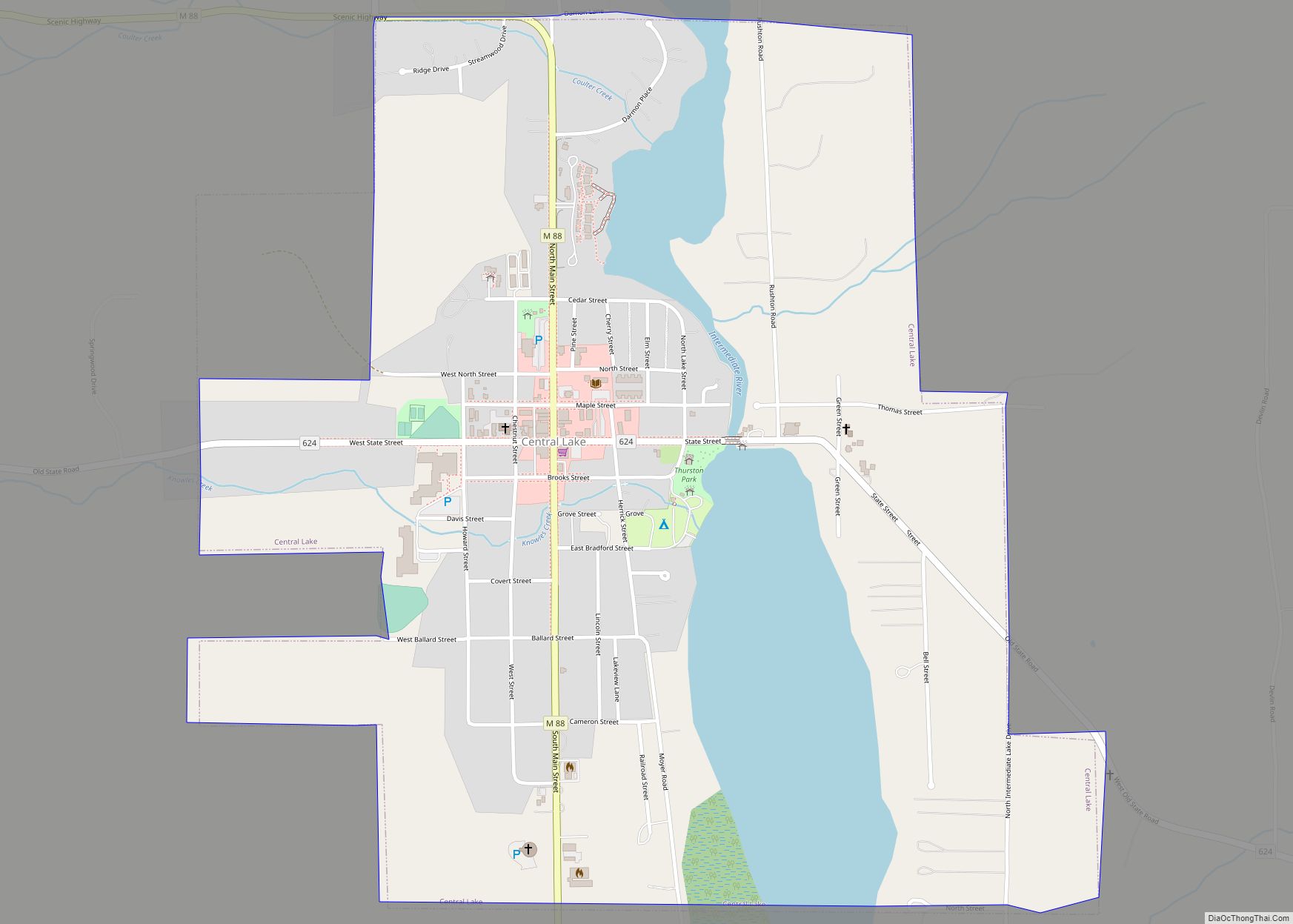
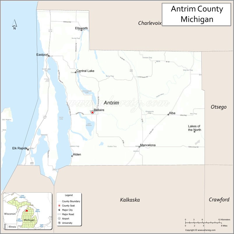
Antrim County (/ˈæntrəm/ AN-trəm) is a county located in the U.S. state of Michigan. As of the 2020 Census, the population was 23,431. The county seat is Bellaire. The name is taken from County Antrim in Northern Ireland.
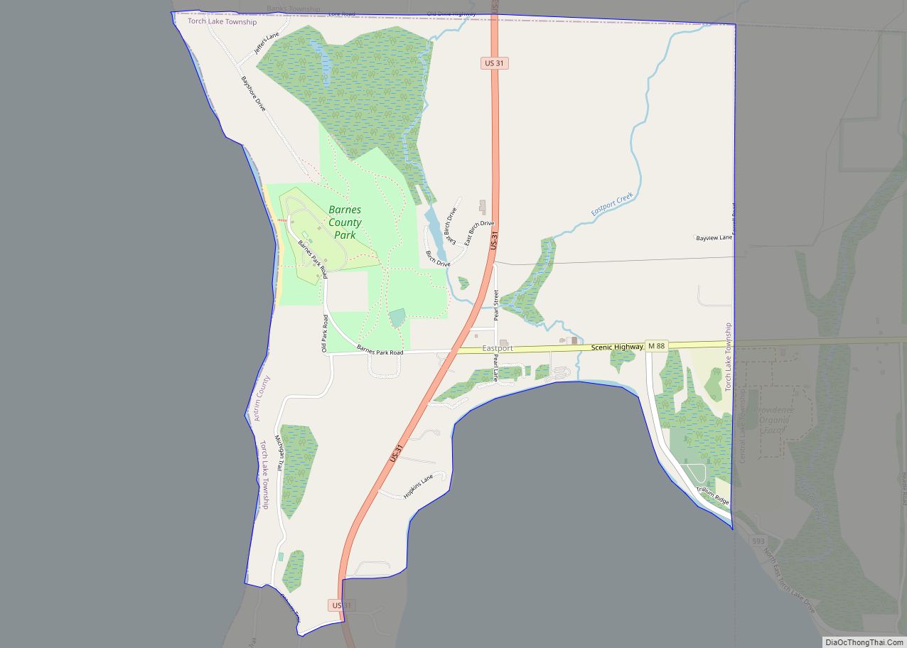
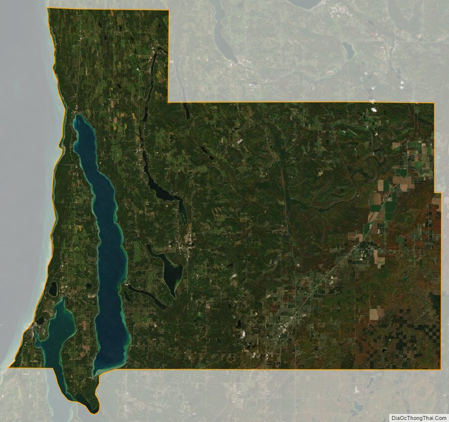
Antrim County is home to Torch Lake, Michigan’s deepest and second-largest inland lake. Torch Lake, famous for its clear and blue waters, is part of the Chain of Lakes Watershed, most of which lies within Antrim County. The county is bordered to the west by Grand Traverse Bay, a bay of Lake Michigan.
| Name: | Antrim County |
|---|---|
| FIPS code: | 26-009 |
| State: | Michigan |
| Founded: | 1840 |
| Named for: | County Antrim |
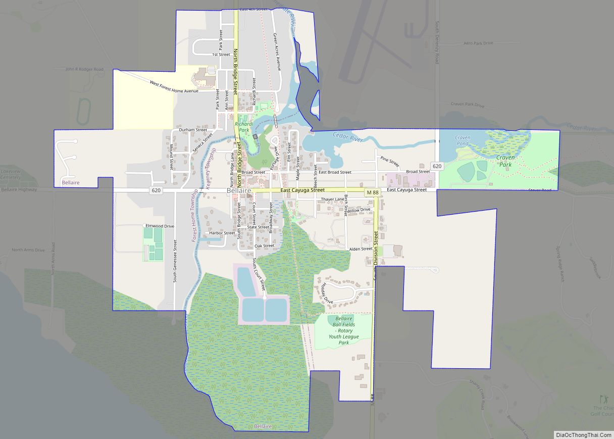
| Seat: | Bellaire |
| Total Area: | 602 sq mi (1,560 km²) |
| Land Area: | 476 sq mi (1,230 km²) |
| Total Population: | 23,431 |
| Population Density: | 50/sq mi (20/km²) |
| Time zone: | UTC−5 (Eastern) |
| Summer Time Zone (DST): | UTC−4 (EDT) |
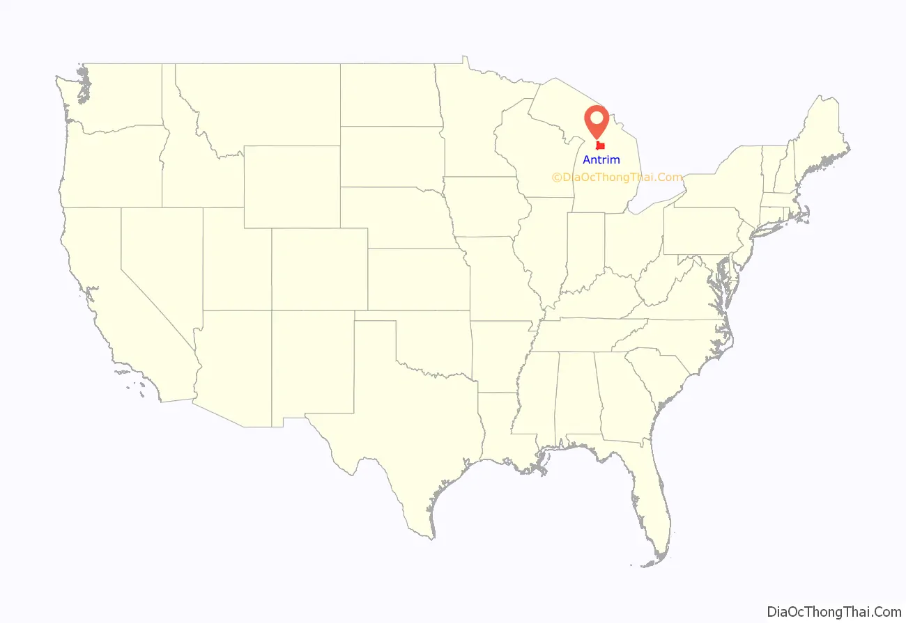
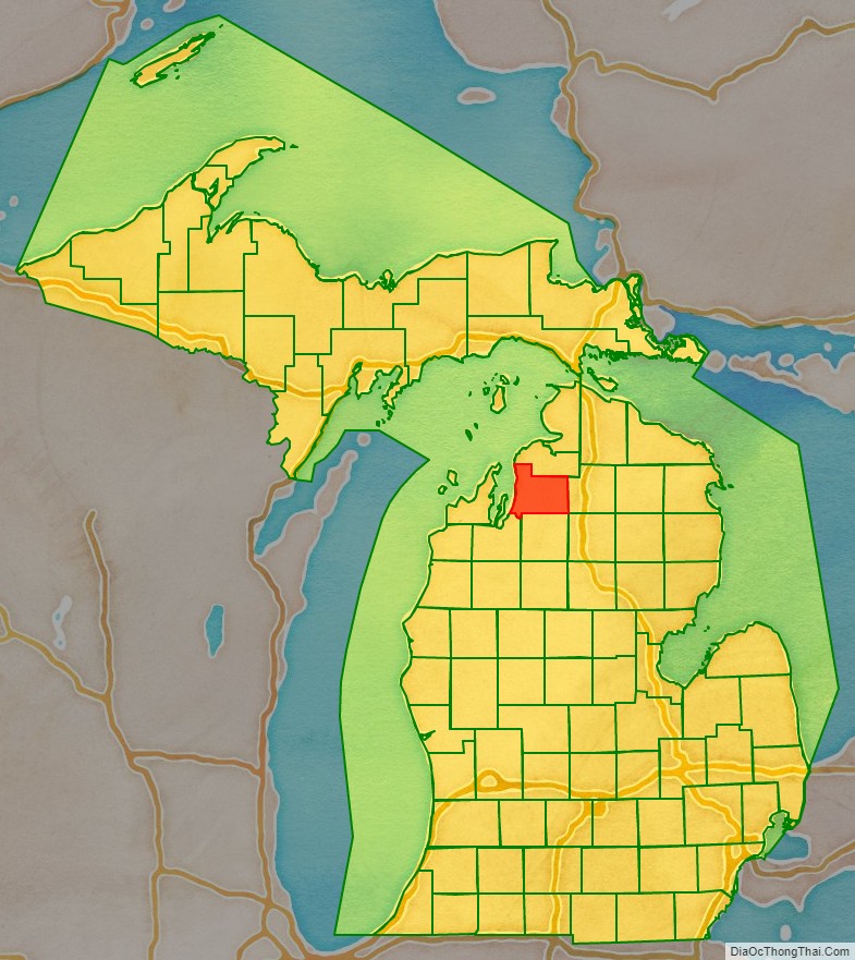
Antrim County location map. Where is Antrim County?
History
Meegisee County (/miːɡəsi/ MEE-gə-see) was separated from Michilimackinac County as an unorganized county in 1840. It took its name from a Chippewa chief who signed the 1821 Treaty of Chicago and the 1826 Treaty of Mississinewas. Meegisee also derives from the Ojibwe migizi, meaning bald eagle. The county was renamed Antrim County in 1843, one of the Irish names given to five renamed Michigan counties at that time, supposedly in deference to the increasing number of settlers of Irish heritage in Michigan at that time. In the text of the 1843 legislative act, the name was misspelled as “Antim”. In 1851, for governmental purposes, Antrim County was attached to Grand Traverse County.
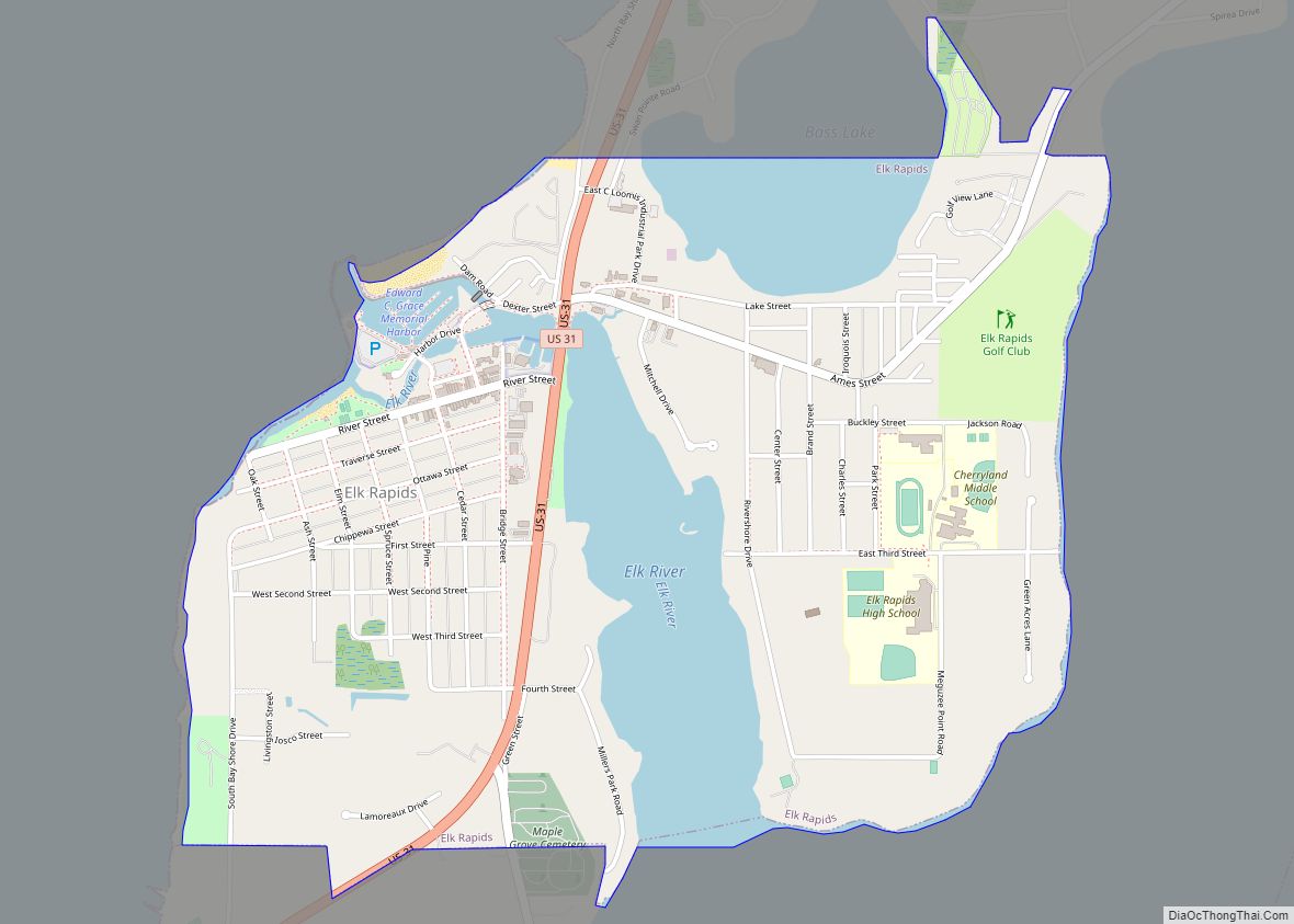
Separate county government was organized in 1863. The county seat was originally located in Elk Rapids, but was moved to Bellaire in 1904 after 25 years of litigation. In 1950 its population was 10,721.
YMCA Camp Hayo-Went-Ha, the oldest American summer camp that sits on its original site, was opened on the shore of Torch Lake in Central Lake Township in 1904.
Antrim County was in national headlines during the 2020 presidential election, as election night results showed the reliably Republican county voting heavily Democratic, which was later proven to be human error. This incident has been cited by multiple conspiracy theorists.
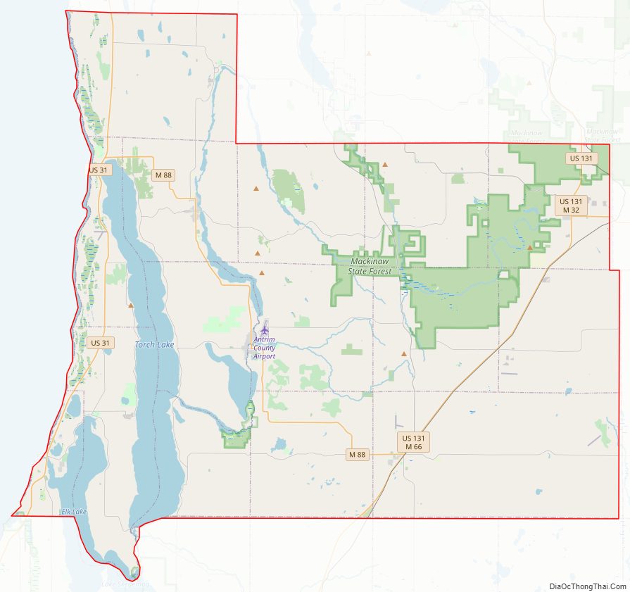
Antrim County Road Map
Geography
According to the U.S. Census Bureau, the county has a total area of 602 square miles (1,560 km), of which 476 square miles (1,230 km) is land and 126 square miles (330 km) (21%) is water.
Antrim County is flanked to the west by Grand Traverse Bay, a bay of Lake Michigan. Most of the bodies of water within the Chain of Lakes, including Torch Lake, are within Antrim County.
Lakes
- Lake Arthur
- Bass Lake
- Bates Lake
- Beals Lake
- Lake Bellaire
- Benway Lake
- Birch Lake
- Boat Lake
- Browning Lake
- Carpenter Lake
- Clam Lake
- Eaton Lake
- Elk Lake
- Ellsworth Lake
- Finn Lake
- Grass Lake
- Green Lake
- Hanley Lake
- Harwood Lake
- Hawk Lake
- Henry Lake
- Intermediate Lake
- Lake of the Woods
- Lime Lake
- Little Torch Lake
- Lyman Lake
- Maplehurst Lake
- Moblo Lake
- Mud Lake
- Scotts Lake
- Six Mile Lake
- Lake Skegemog
- Skinner Lake
- Smith Lake
- St. Clair Lake
- Thayer Lake
- Toad Lake
- Torch Lake
- Wetzel Lake
- Wilson Lake
Rivers
- Boyne River
- Cedar River
- Dingman River
- Elk River
- Grass River
- Green River
- Intermediate River
- Jordan River
- Manistee River
- Torch River
Adjacent counties
By land
- Charlevoix County (north)
- Otsego County (east)
- Crawford County (southeast)
- Kalkaska County (south)
- Grand Traverse County (southwest)
By water
- Leelanau County (west)
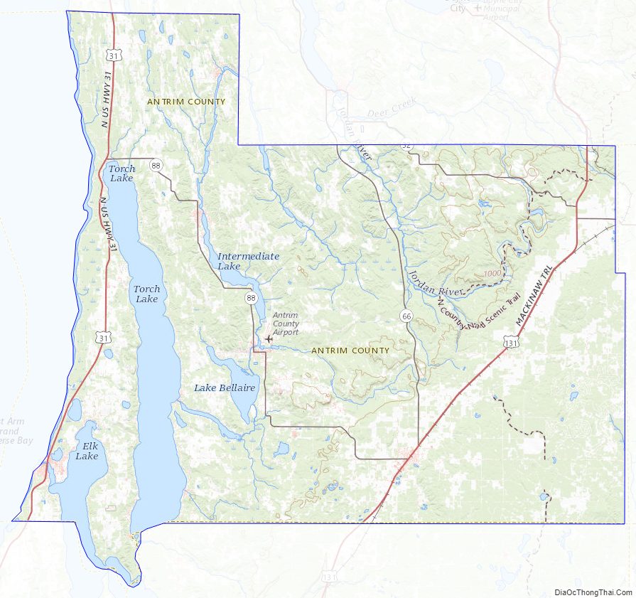
Antrim County Topographic Map
Antrim County Satellite Map
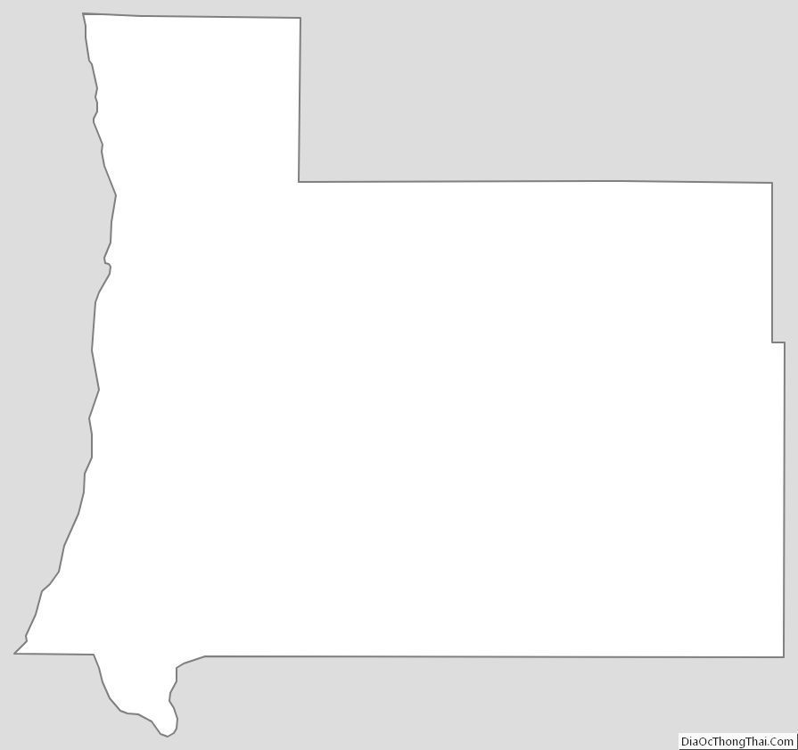
Antrim County Outline Map