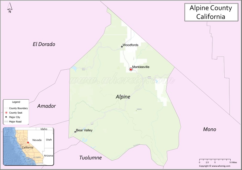
Alpine County is a county in the eastern part of the U.S. state of California located within the Sierra Nevada on the state border with Nevada. As of the 2020 Census, the population was 1,204, making it California’s least populous county. The county seat and largest community is Markleeville.
| Name: | Alpine County |
|---|---|
| FIPS code: | 06-003 |
| State: | California |
| Founded: | 1864 |
| Named for: | Its location in the Sierra Nevada resembling the (Swiss) Alps |
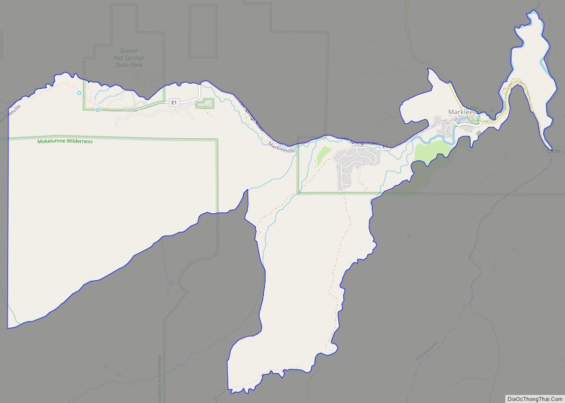
| Seat: | Markleeville |
| Total Area: | 743 sq mi (1,920 km²) |
| Land Area: | 738 sq mi (1,910 km²) |
| Total Population: | 1,204 |
| Population Density: | 1.6/sq mi (0.63/km²) |
| Time zone: | UTC−8 (Pacific Standard Time) |
| Summer Time Zone (DST): | UTC−7 (Pacific Daylight Time) |
| Website: | www.alpinecountyca.gov |
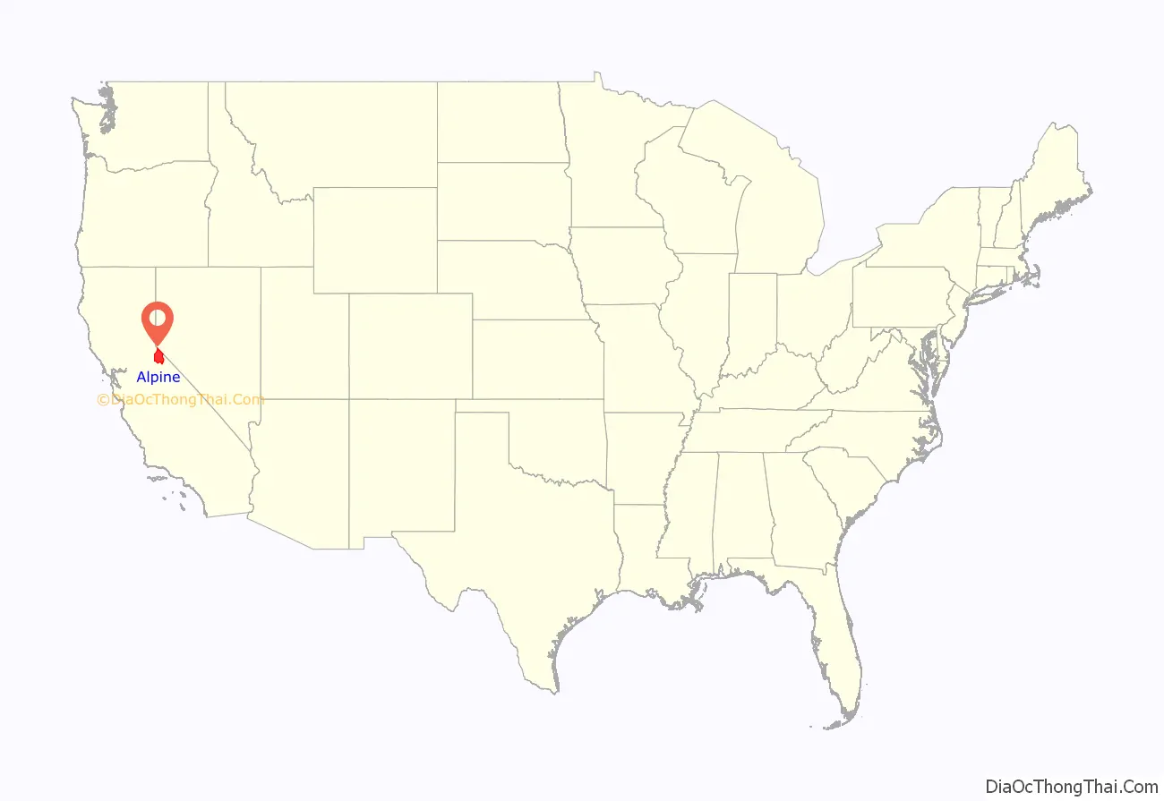
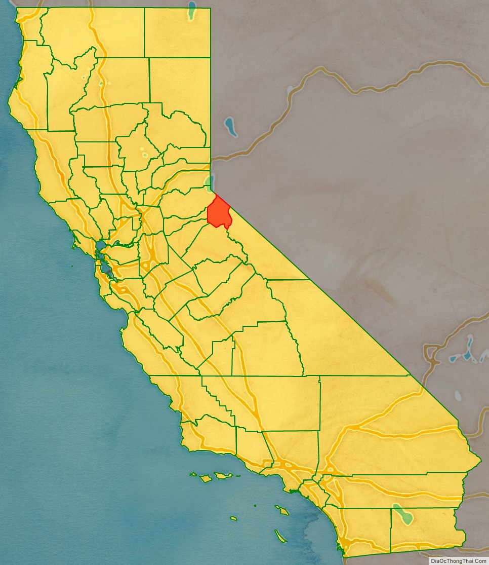
Alpine County location map. Where is Alpine County?
History
The Washoe people, a Great Basin tribe, inhabited the Sierra Nevada on the California–Nevada boundary, with the Hung A Lel Ti band populating the Diamond Valley including what would become Alpine County.
Kit Carson and John C. Frémont were among the first explorers to bring nationwide attention to the Sierra Nevada region in their winter 1844 expedition, though the first known westerners to actually explore the area were Jedediah Smith and Joseph R. Walker. Though gold spurred the infrastructural development of Alpine County, the Comstock Lode found near Virginia City, Nevada and the subsequent silver boom was what triggered Alpine County’s growth, even attracting gold miners from neighboring Nevada. This prompted the formation on March 16, 1864, from parts of Amador County, Calaveras County, El Dorado County, Mono County and Tuolumne County. It was named Alpine County due to its resemblance to the Swiss Alps. At its formation, it had a population numbering around 11,000. By 1868, however, the local silver mines had proven unfruitful of replicating the Nevada silver boom and the population fell to about 685 in the 1870 Census, a decline that would steadily continue through the 1950s. Silver Mountain (established as Köngsberg) was designated the county seat following the discovery of silver nearby by Norwegian miners. Markleeville, established by Jacob Markley in 1861 as a 160-acre claim encompassing a bridge and toll station, became the new county seat in 1875. The collapse of the silver industry and closing of mines was finalized with the demonetization of silver in 1873, and Silver Mountain was abandoned by 1886, with most businesses moving to Markleeville.
Following the devastating collapse of the silver industry, the population began quickly declining until the 1950s, falling to an all-time low of 241 in 1930. During this time, its small economy limited the county to serving primarily as a trading center for the local farming and lumber industries, as well as fishing and hunting during the 1930s. Several lots in the county were left vacant.
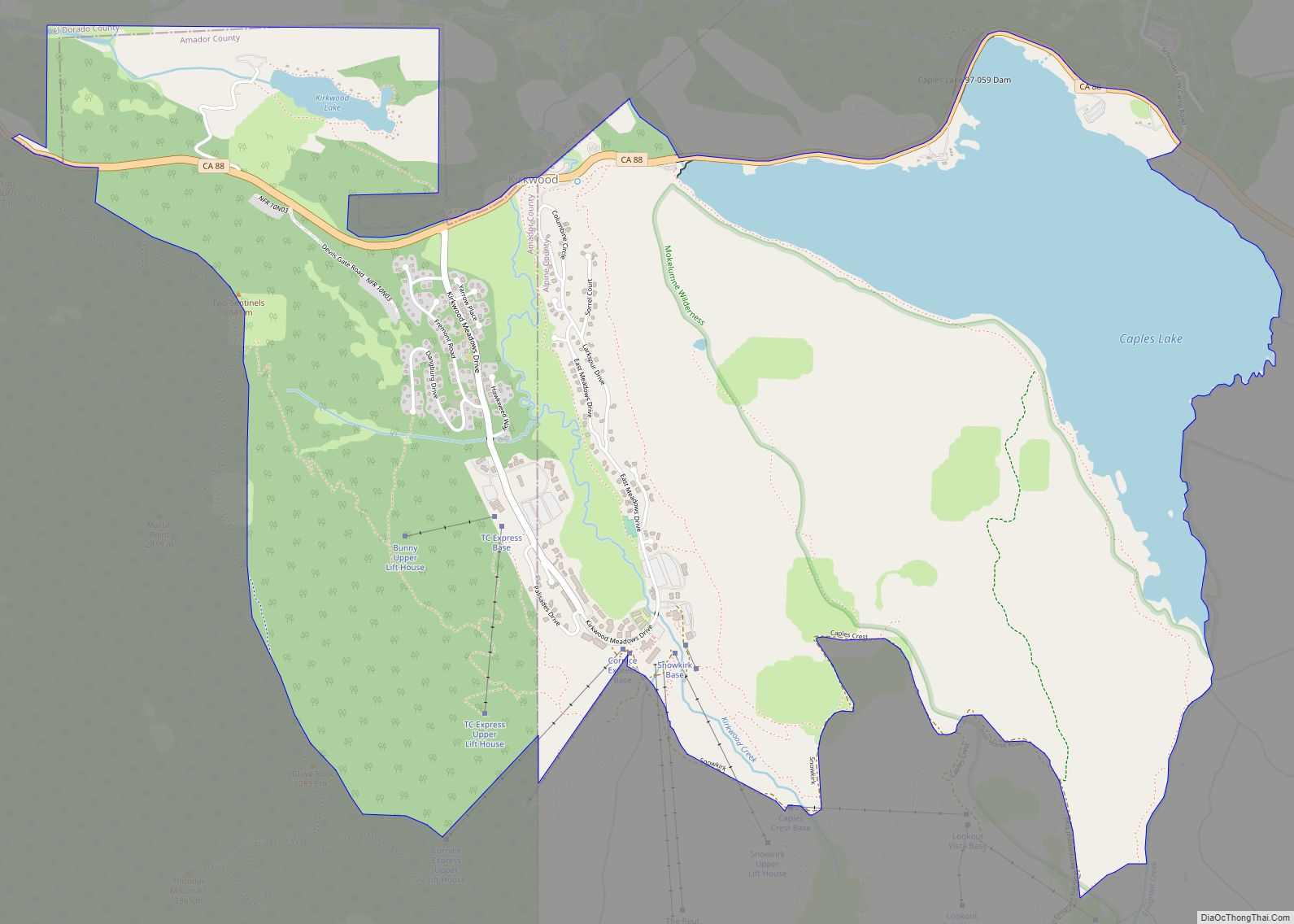
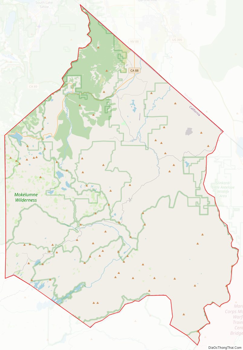
Alpine County finally managed an economic rebound with the construction of the Bear Valley and Kirkwood ski resorts in the late 1960s, the latter of which is split with Amador County. The population shot up from 484 in 1970 to 1,097 in 1980, a 126.65% increase, and has remained around that level. The three national forests (Eldorado, Humboldt–Toiyabe and Stanislaus) means 96% of the county is owned by the federal government, providing opportunities for economic development and tourism to the skiing resorts as well as historical tourism and outdoor recreation.
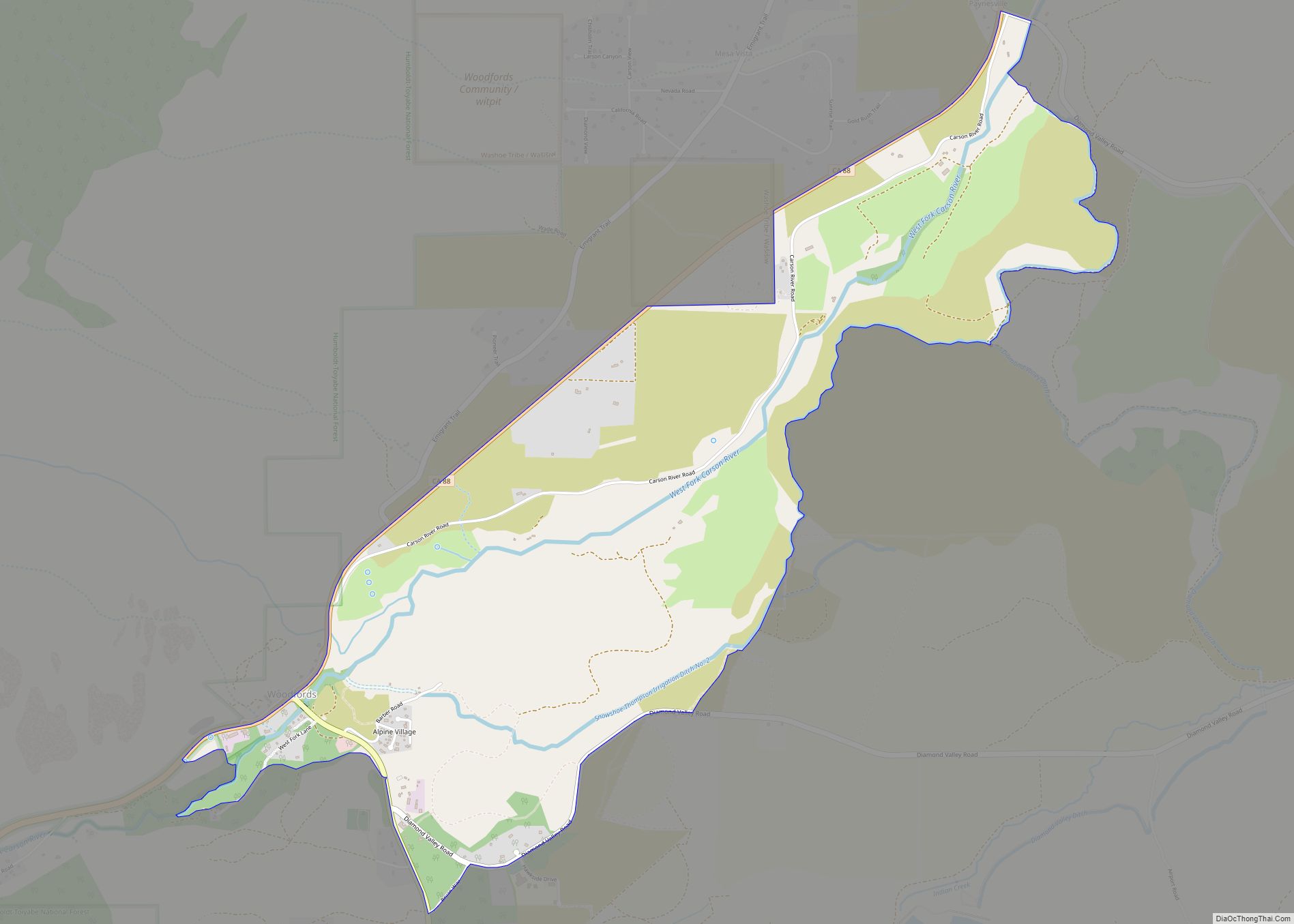
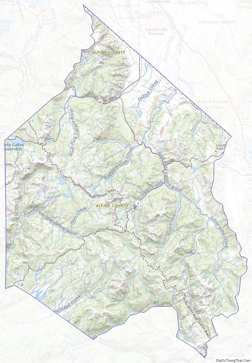
Alpine County Road Map
Geography
According to the United States Census Bureau, the county has an area of 743 square miles (1,920 km), of which 738 square miles (1,910 km) is land and 4.8 square miles (12 km) (0.7%) is water. The federal government owns about 96% of Alpine County, the highest percentage in California, including three national forests: Eldorado (54,318 acres, or 7.81% of the 695,098-acre total), Stanislaus (119,805 acres, or 13.32% of the 899,427 acre-total) and Humboldt–Toiyabe (233,962 acres, or 3.72% of the 6,290,945 acre-total).
Adjacent counties
- El Dorado County – northwest
- Douglas County, Nevada – northeast
- Mono County – southeast
- Tuolumne County – south
- Calaveras County – southwest
- Amador County – west
National protected areas
- Eldorado National Forest (part)
- Stanislaus National Forest (part)
- Toiyabe National Forest (part)
Alpine County Topographic Map
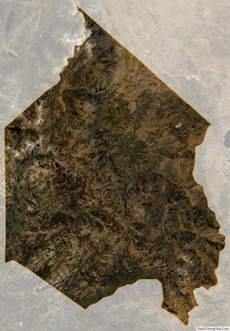
Alpine County Satellite Map
Alpine County Outline Map