Colusa County (/kəˈluːsə/ (listen)) is a county located in the U.S. state of California. As of the 2020 census, the population was 21,839. The county seat is Colusa. It is in the North Valley of California, northwest of the state capital, Sacramento.
| Name: | Colusa County |
|---|---|
| FIPS code: | 06-011 |
| State: | California |
| Founded: | 1850 |
| Named for: | Rancho Colus |
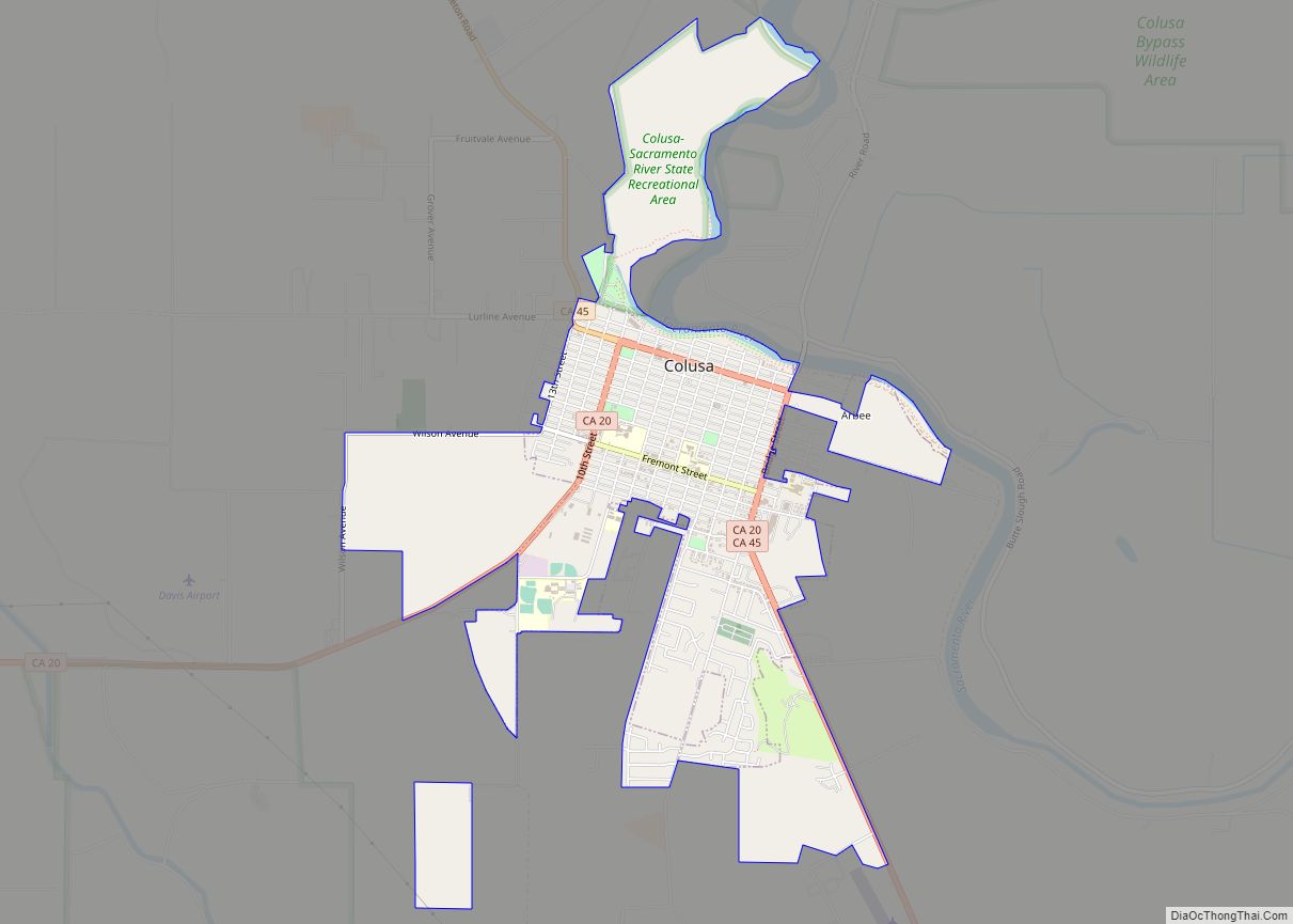
| Seat: | Colusa |
| Largest city: | Colusa (population) Williams (area) |
| Total Area: | 1,156 sq mi (2,990 km²) |
| Land Area: | 1,151 sq mi (2,980 km²) |
| Total Population: | 21,839 |
| Population Density: | 19/sq mi (7.3/km²) |
| Time zone: | UTC-8 (Pacific Time Zone) |
| Summer Time Zone (DST): | UTC-7 (Pacific Daylight Time) |
| Website: | www.countyofcolusa.org |
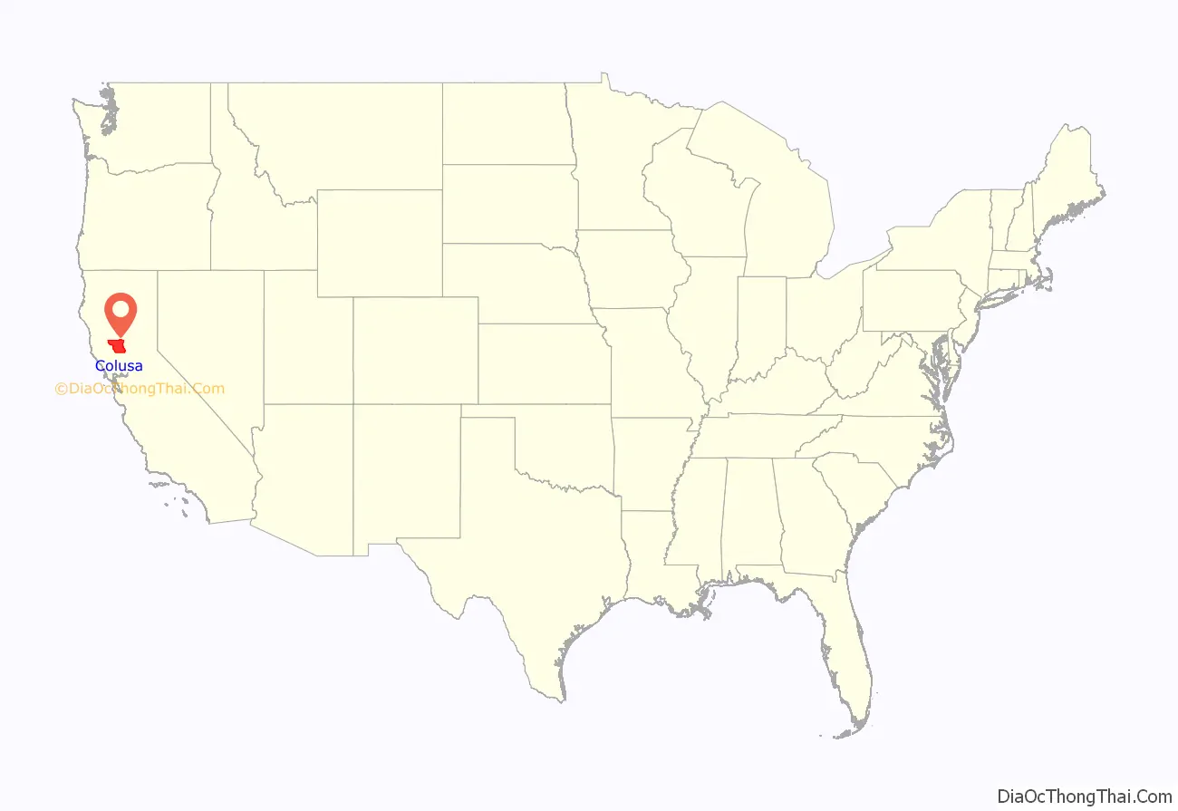
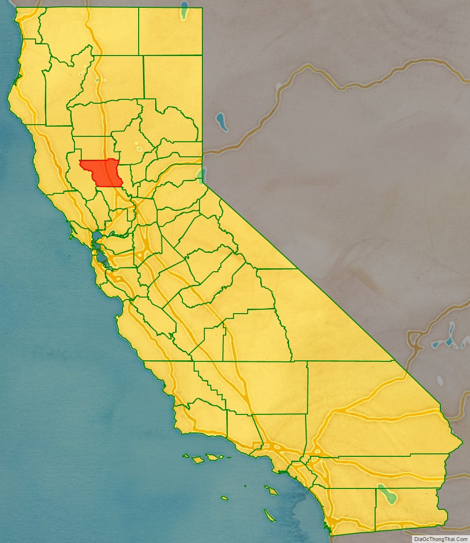
Colusa County location map. Where is Colusa County?
History
Colusa County is one of the original counties of California, created in 1850 at the time of statehood. Parts of the county’s territory were given to Tehama County in 1856 and to Glenn County in 1891.
The county was named after the 1844 Rancho Colus Mexican land grant to John Bidwell. The name of the county in the original state legislative act of 1850 was spelled Colusi, and often in newspapers was spelled Coluse. The word is derived from the name of a Patwin village known as Ko’-roo or Korusi located on the west side of the Sacramento River on the site of the present-day city of Colusa. The name was established as Colusa by 1855.
Early history
Present-day Colusa County was originally home to the Patwin band of the Wintun people, whose territory included areas along the Sacramento River as well as lands extending west towards Lake County, bounded in the north by the sources of Stony Creek near Stonyford and in the south by Putah Creek.
Linguistically, the Patwin people in the Colusa area spoke two dialects of the Southern Wintuan language. River Patwin was spoken in villages along the Sacramento River, including at Korusi, site of the present city of Colusa. Hill Patwin was spoken in the plains and foothills to the west.
European settlement
Present-day Colusa County was included as part of three Mexican land grants: John Bidwell’s smaller 1845 Rancho Colus grant, which included the modern city of Colusa; the larger 1844 Rancho Jimeno grant, which surrounded the Colus grant; and the 1844 Larkin’s Children grant, located upriver from Colusa near the present town of Princeton, California.
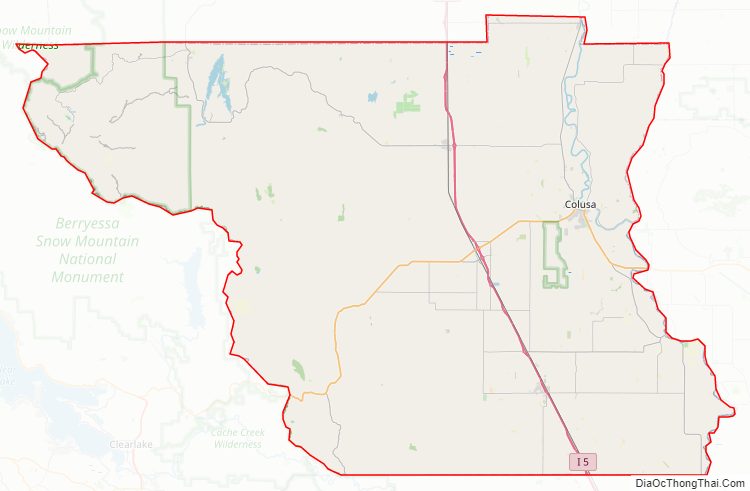
Colusa County Road Map
Geography
According to the U.S. Census Bureau, the county has a total area of 1,156 square miles (2,990 km), of which 1,151 square miles (2,980 km) is land and 5.6 square miles (15 km) (0.5%) is water. A large number of streams drain the county, including Elk Creek, Salt Creek, Stony Creek and Bear Creek.
The county’s eastern boundary is formed, in part, by the Sacramento River.
Adjacent counties
- Glenn County – north
- Butte County – northeast
- Sutter County – east
- Yolo County – south
- Lake County – west
National protected areas
- Butte Sink National Wildlife Refuge (part)
- Colusa National Wildlife Refuge
- Delevan National Wildlife Refuge
- Mendocino National Forest (part)
- Sacramento National Wildlife Refuge (part)
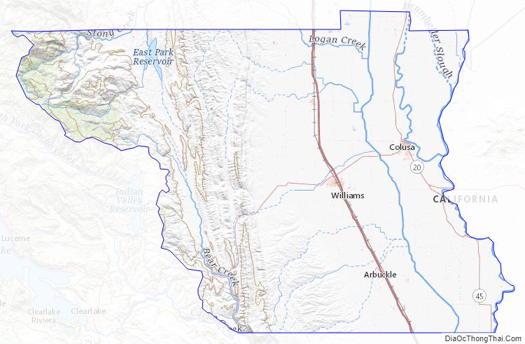
Colusa County Topographic Map
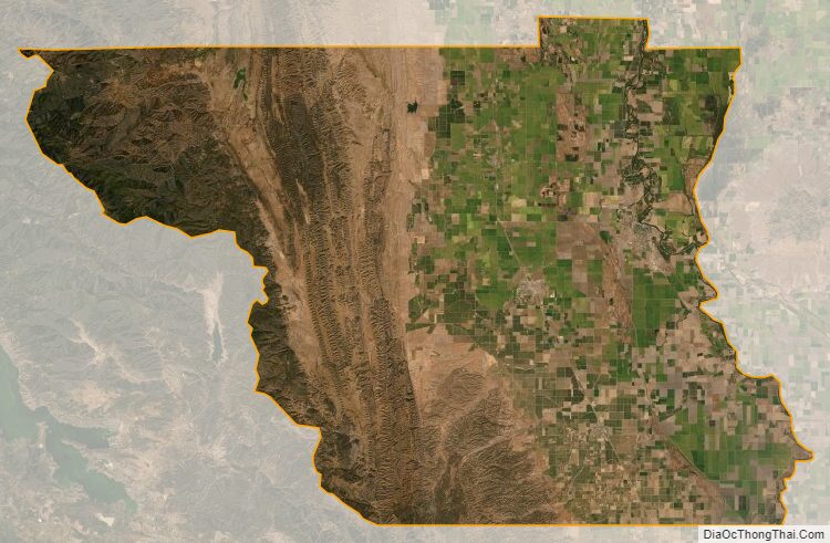
Colusa County Satellite Map
Colusa County Outline Map