Markleeville (formerly, Markleville) is a census-designated place (CDP) and the county seat of Alpine County, California, United States. The population was 191 at the 2020 census, down from 210 at the 2010 census.
| Name: | Markleeville CDP |
|---|---|
| LSAD Code: | 57 |
| LSAD Description: | CDP (suffix) |
| State: | California |
| County: | Alpine County |
| Elevation: | 5,531 ft (1,686 m) |
| Total Area: | 6.531 sq mi (16.915 km²) |
| Land Area: | 6.531 sq mi (16.915 km²) |
| Water Area: | 0 sq mi (0 km²) 0% |
| Total Population: | 191 |
| Population Density: | 29/sq mi (11/km²) |
| ZIP code: | 96120 |
| Area code: | 530 |
| FIPS code: | 0645988 |
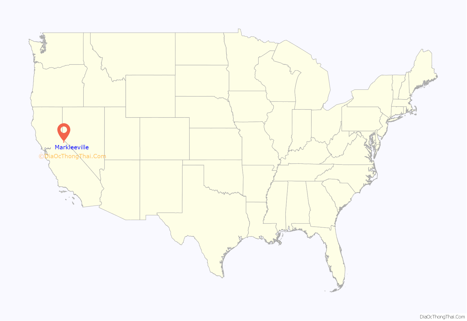
Online Interactive Map
Click on ![]() to view map in "full screen" mode.
to view map in "full screen" mode.
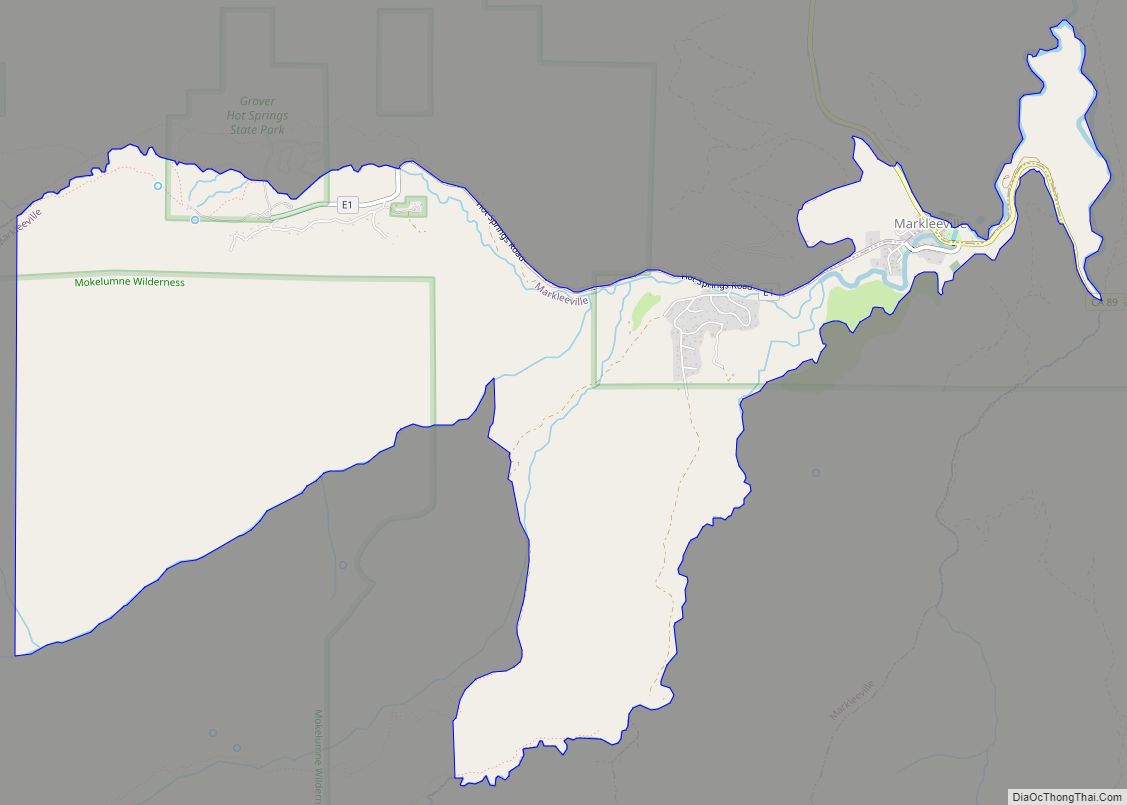
Markleeville location map. Where is Markleeville CDP?
History
Jacob J. Marklee founded a toll bridge crossing the Carson River in 1861. He aimed to tap into the traffic from the silver mining boom at Silver Mountain City. On June 23, 1862, he recorded a land claim of 160 acres in Douglas County, Nevada. A boundary survey took place, and the property ended up being in California. In 1863, Marklee died after being involved in a gunfight. When the Comstock Lode discovery took place, the town of Markleeville was founded on the Marklee property. Today, the Alpine County Courthouse sits on the former property, which is listed as a California Historical Landmark.
A post office opened in Markleeville in 1863.
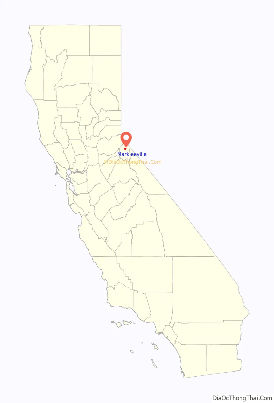
Markleeville Road Map
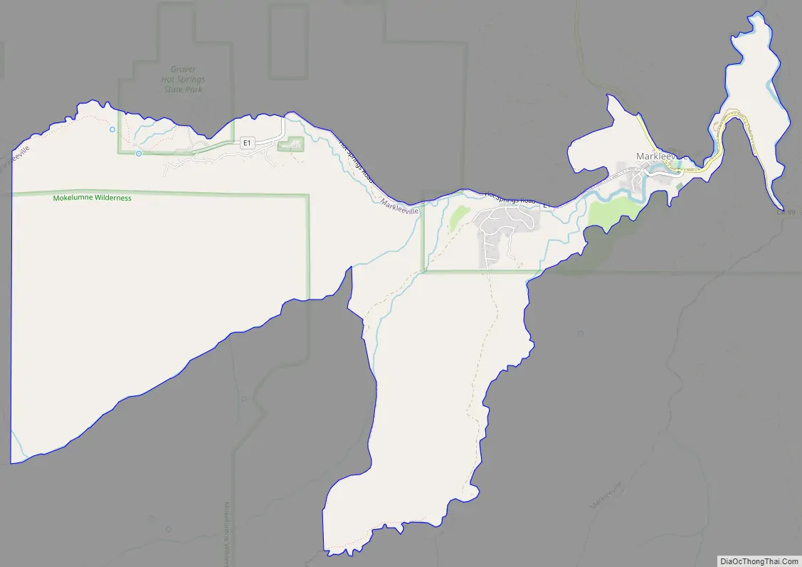
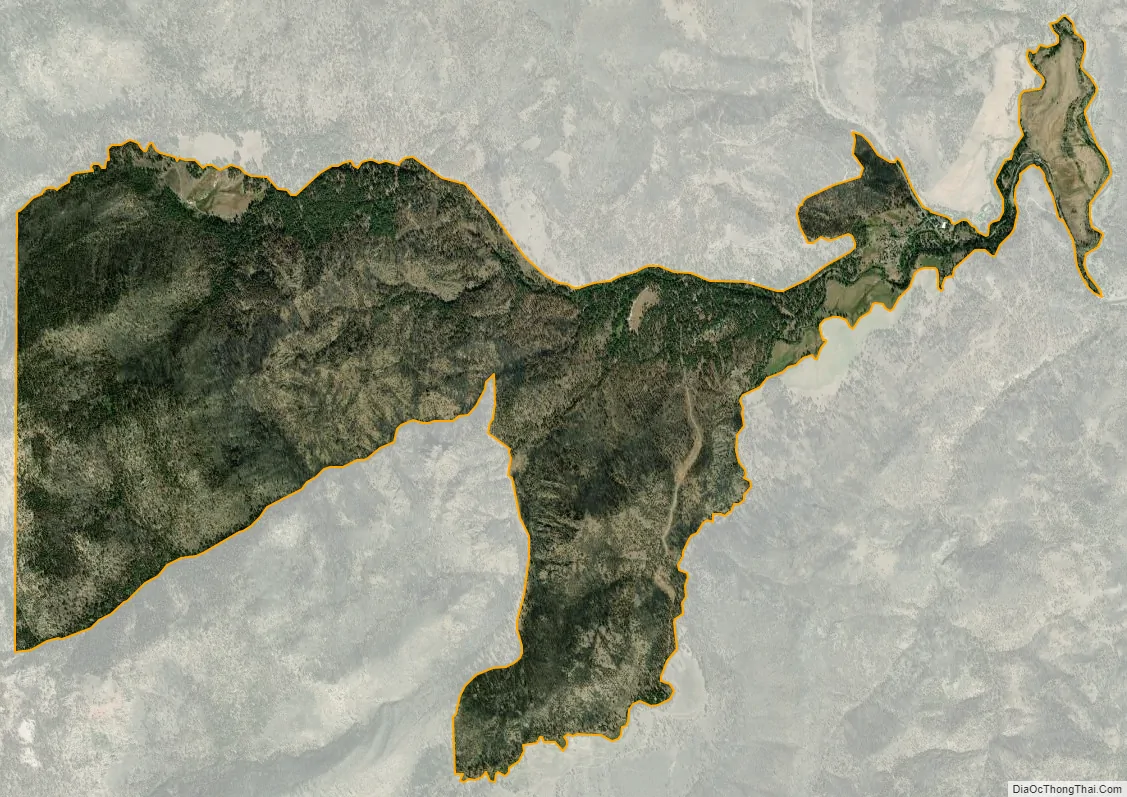
Markleeville city Satellite Map
Geography
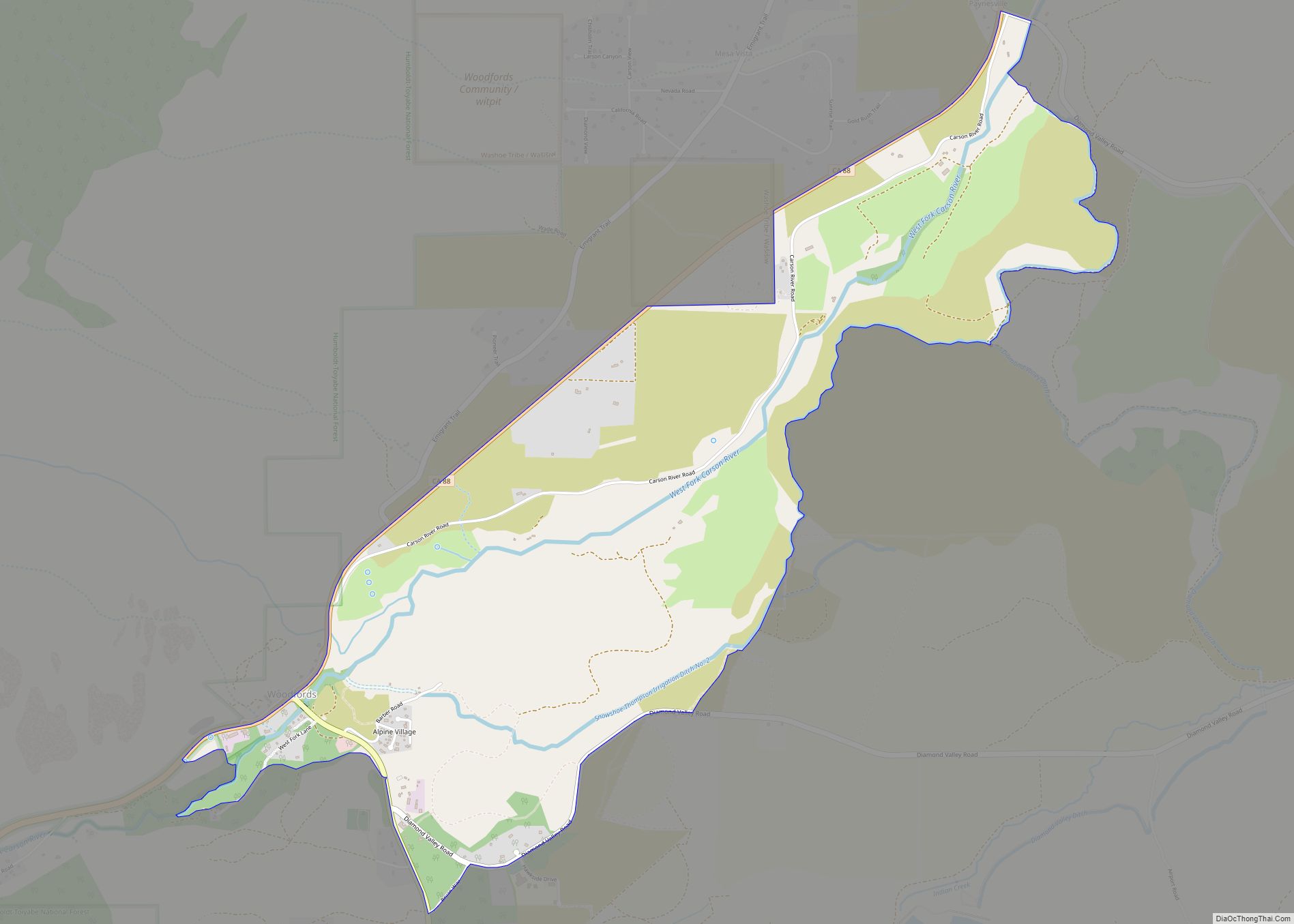
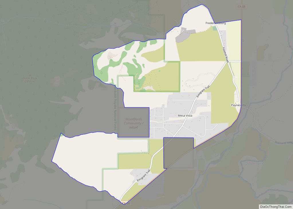
According to the United States Census Bureau, the CDP has a total area of 6.5 square miles (17 km), all land. The region comprising Markleeville is Alpine in appearance, with lush grassy valley areas. There is a hot spring, and a state park with a campground. Excellent hiking trails abound.
Climate
According to the Köppen Climate Classification system, Markleeville has a warm-summer Mediterranean climate, abbreviated Csb on climate maps, though it approaches a Humid continental climate (Dsb).
Markleeville has warm to hot summers with only occasional rainfall, mostly from afternoon and evening thunderstorms; nights are usually well below 50 °F (10 °C). Winters are somewhat cold and often snowy. The average January temperatures are a maximum of 45.7 °F or 7.6 °C and a minimum of 17.4 °F or −8.1 °C. The average July temperatures are a maximum of 84.5 °F (29.2 °C) and a minimum of 43.1 °F or 6.2 °C. There are an average of 15.7 afternoons with highs of 90 °F or 32.2 °C or higher and an average of 221.7 mornings with lows of 32 °F or 0 °C or lower, including 5.4 mornings falling to or below 0 °F or −17.8 °C, and 8.1 afternoons that do not top freezing. The record high temperature was 102 °F (38.9 °C) on July 11, 1931. The record low temperature was −25 °F (−31.7 °C) on December 22, 1990.
Average annual precipitation is 19.18 inches or 487.2 millimetres. There are an average of 59 days with measurable precipitation. The wettest calendar year was 1996 with 38.35 inches (974.1 mm) and the driest year was 1917 with 11.74 inches (298.2 mm). The most precipitation in one month occurred in January 1914 with 16.13 inches (409.7 mm). The most precipitation in 24 hours was 4.72 inches (119.9 mm) on December 3, 1950. Average annual snowfall is 82.9 inches or 2.11 metres, and snow depths of over 60 inches or 1.52 metres were recorded during the very cold months of January 1916 and February 1922 – the average depth of snow on the ground in January being 8 inches or 0.20 metres. The snowiest year was 1916 with 144.0 inches (3.66 m), including 99.0 inches (2.51 m) in January 1916.
See also
Map of California State and its subdivision:- Alameda
- Alpine
- Amador
- Butte
- Calaveras
- Colusa
- Contra Costa
- Del Norte
- El Dorado
- Fresno
- Glenn
- Humboldt
- Imperial
- Inyo
- Kern
- Kings
- Lake
- Lassen
- Los Angeles
- Madera
- Marin
- Mariposa
- Mendocino
- Merced
- Modoc
- Mono
- Monterey
- Napa
- Nevada
- Orange
- Placer
- Plumas
- Riverside
- Sacramento
- San Benito
- San Bernardino
- San Diego
- San Francisco
- San Joaquin
- San Luis Obispo
- San Mateo
- Santa Barbara
- Santa Clara
- Santa Cruz
- Shasta
- Sierra
- Siskiyou
- Solano
- Sonoma
- Stanislaus
- Sutter
- Tehama
- Trinity
- Tulare
- Tuolumne
- Ventura
- Yolo
- Yuba
- Alabama
- Alaska
- Arizona
- Arkansas
- California
- Colorado
- Connecticut
- Delaware
- District of Columbia
- Florida
- Georgia
- Hawaii
- Idaho
- Illinois
- Indiana
- Iowa
- Kansas
- Kentucky
- Louisiana
- Maine
- Maryland
- Massachusetts
- Michigan
- Minnesota
- Mississippi
- Missouri
- Montana
- Nebraska
- Nevada
- New Hampshire
- New Jersey
- New Mexico
- New York
- North Carolina
- North Dakota
- Ohio
- Oklahoma
- Oregon
- Pennsylvania
- Rhode Island
- South Carolina
- South Dakota
- Tennessee
- Texas
- Utah
- Vermont
- Virginia
- Washington
- West Virginia
- Wisconsin
- Wyoming