Calaveras County (/ˌkæləˈvɛrəs/ (listen)), officially the County of Calaveras, is a county in both the Gold Country and High Sierra regions of the U.S. state of California. As of the 2010 census, the population was 45,292. The county seat is San Andreas. Angels Camp is the county’s only incorporated city. Calaveras is Spanish for “skulls”; the county was reportedly named for the remains of Native Americans discovered by the Spanish explorer Captain Gabriel Moraga.
Calaveras Big Trees State Park, a preserve of giant sequoia trees, is in the county several miles east of the town of Arnold on State Highway 4. Credit for the discovery of giant sequoias there is given to Augustus T. Dowd, a trapper who made the discovery in 1852 while tracking a bear. When the bark from the “Discovery Tree” was removed and taken on tour around the world, the trees became a worldwide sensation and one of the county’s first tourist attractions. The uncommon gold telluride mineral calaverite was discovered in the county in 1861 and is named for it.
Mark Twain set his story “The Celebrated Jumping Frog of Calaveras County” in the county. The county hosts an annual fair and Jumping Frog Jubilee, featuring a frog-jumping contest, to celebrate the association with Twain’s story. Each year’s winner is commemorated with a brass plaque mounted in the sidewalk of downtown Historic Angels Camp and this feature is known as the Frog Hop of Fame.
In 2015, Calaveras County had the highest rate of suicide deaths in the United States, with 49.1 per 100,000 people.
| Name: | Calaveras County |
|---|---|
| FIPS code: | 06-009 |
| State: | California |
| Founded: | 1850 |
| Named for: | Spanish word meaning “skulls” |
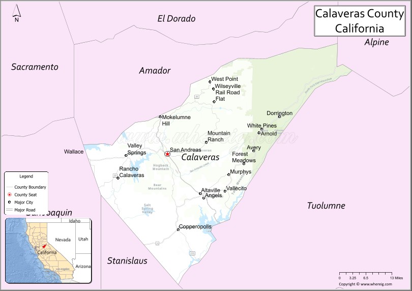
| Seat: | San Andreas |
| Total Area: | 1,037 sq mi (2,690 km²) |
| Land Area: | 1,020 sq mi (2,600 km²) |
| Total Population: | 45,292 |
| Population Density: | 44/sq mi (17/km²) |
| Time zone: | UTC−8 (Pacific Time Zone) |
| Summer Time Zone (DST): | UTC−7 (Pacific Daylight Time) |
| Website: | calaverasgov.us |
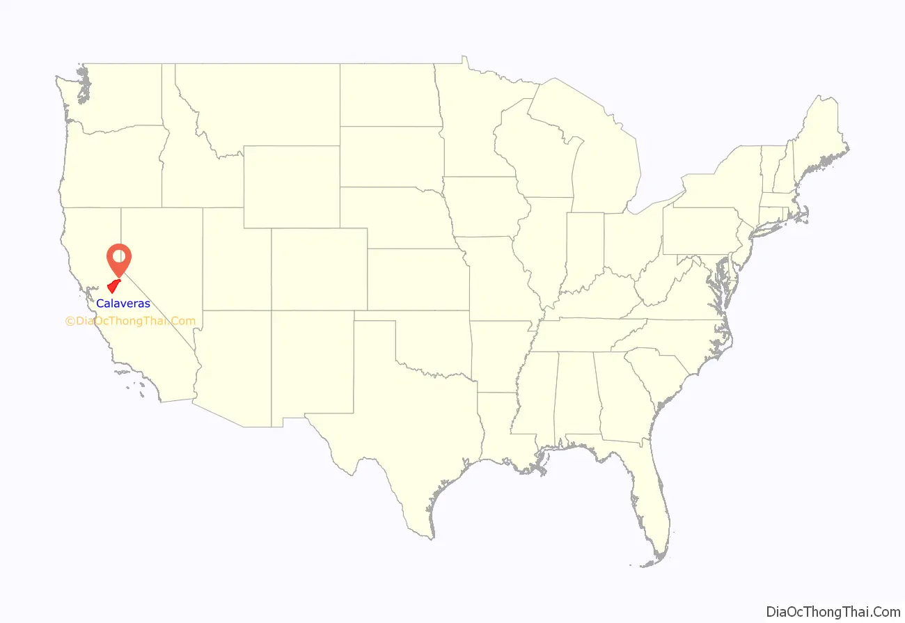
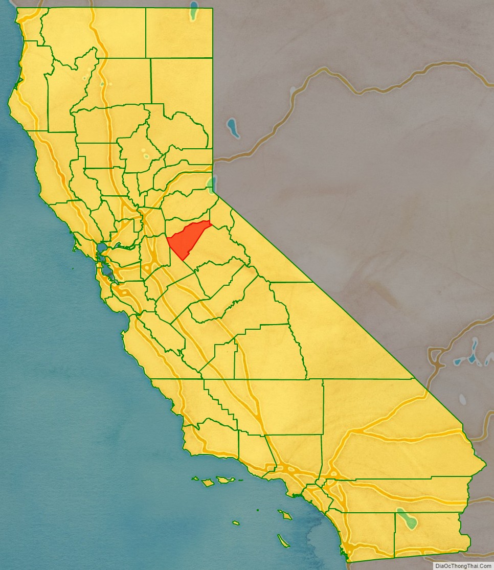
Calaveras County location map. Where is Calaveras County?
History
Calaveras County was one of the original counties of the state of California, created in 1850 at the time of admission to the Union. Parts of the county’s territory were reassigned to Amador County in 1854 and to Alpine County in 1864.
The county’s geography includes beautiful landmarks, rolling hills, and giant valleys. It is also known for its friendly communities, and businesses such as agriculture management and construction engineering. It has numerous caverns, such as Mercer Caverns, California Cavern and Moaning Cavern that are national destinations for tourists from across the country. Other attractions include a thriving wine making industry, including the largest of the Calaveras wineries: Ironstone Vineyards, mountain sports recreation and the performing arts.
Gold prospecting in Calaveras County began in late 1848 with a camp founded by Henry Angel. Angel may have first arrived in California as a soldier, serving under Colonel Frémont during the Mexican War. After the war’s end, he found himself in Monterey where he heard of the fabulous finds in the gold fields. He joined the Carson-Robinson party of prospectors and set out for the mines. The company parted ways upon reaching what later became known as Angels Creek. Henry Angel tried placer mining but soon opened a trading post. By the end of the year, over one hundred tents were scattered about the creek and the settlement was referred to as Angels Trading Post, later shortened to Angels Camp.
Placer mining soon gave out around the camp, but an extensive gold-bearing quartz vein of the area’s Mother Lode was located by the Winter brothers during the mid-1850s, and this brought in the foundations of a permanent town. This vein followed Main Street from Angels Creek up to the southern edge of Altaville. Five major mines worked the rich vein: the Stickle, the Utica, the Lightner, the Angels, and the Sultana. These mines reached their peaks during the 1880s and 1890s, when over 200 stamp mills crushed quartz ore brought in by hand cars on track from the mines. By the time hard rock mining was done, the five mines had producing a total of over $20 million in gold.
The telluride mineral calaverite was first recognized and obtained in 1861 from the Stanislaus Mine, Carson Hill, Angels Camp, in Calaveras Co., California. It was named for the County of origin by chemist and mineralogist Frederick Augustus Genth who differentiated it from the known gold telluride mineral sylvanite, and formally reported it as a new gold mineral in 1868.
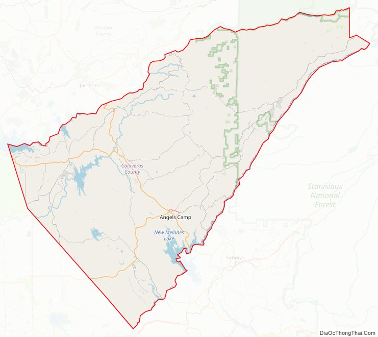
Calaveras County Road Map
Geography
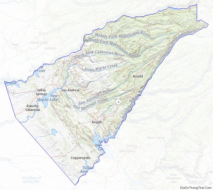
According to the U.S. Census Bureau, the county has a total area of 1,037 square miles (2,690 km), of which 1,020 square miles (2,600 km) is land and 17 square miles (44 km) (1.6%) is water. A California Department of Forestry report lists the county’s area in acres as 663,000, although the exact figure would be 663,477.949 acres (2,685.00000 km). There are a number of caverns located in Calaveras County.
Adjacent counties
- Amador County – north
- Alpine County – northeast
- Tuolumne County – south
- Stanislaus County – southwest
- San Joaquin County – west
National protected area
- Stanislaus National Forest (part)
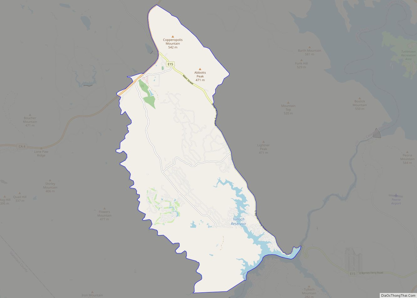
Calaveras County Topographic Map
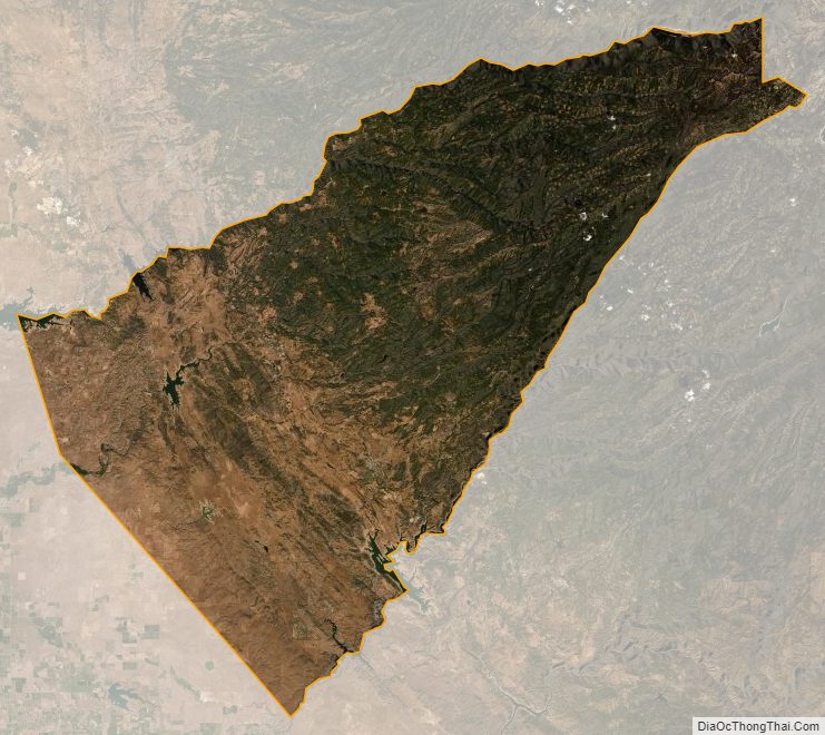
Calaveras County Satellite Map
Calaveras County Outline Map