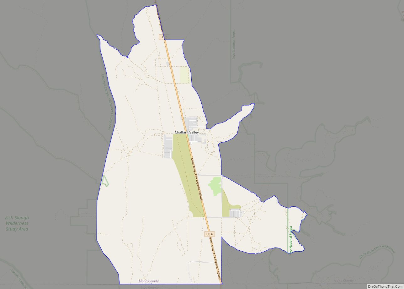
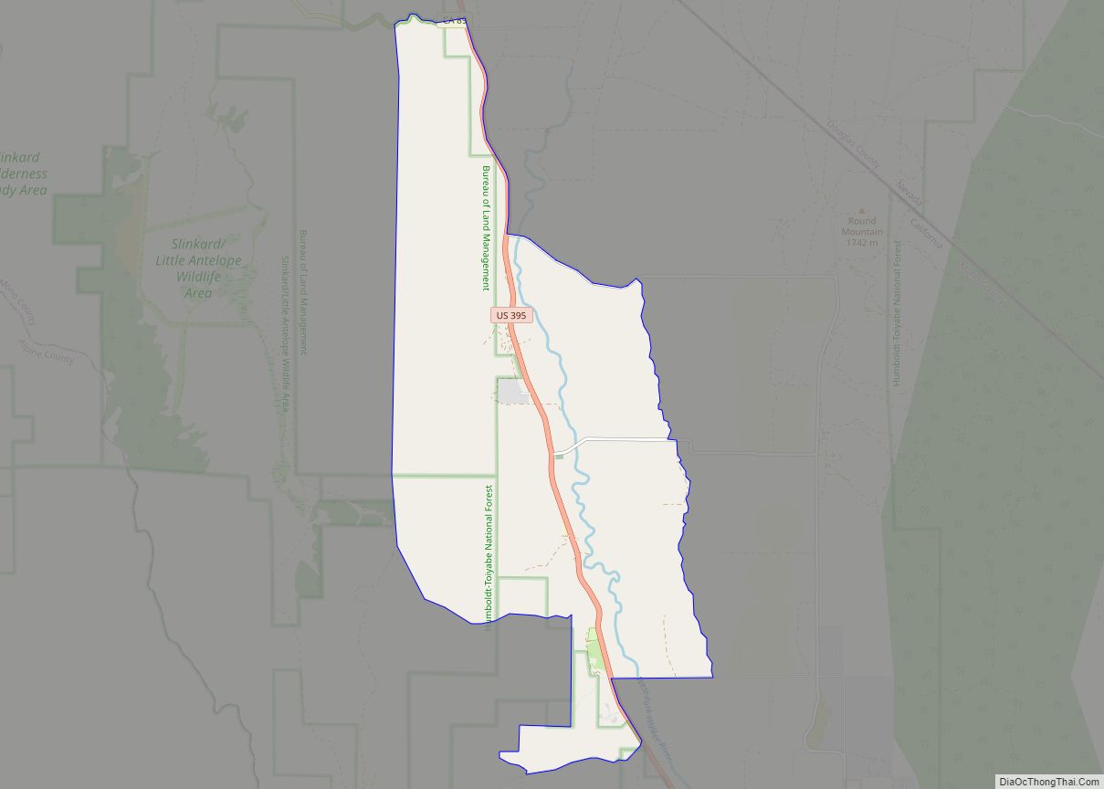
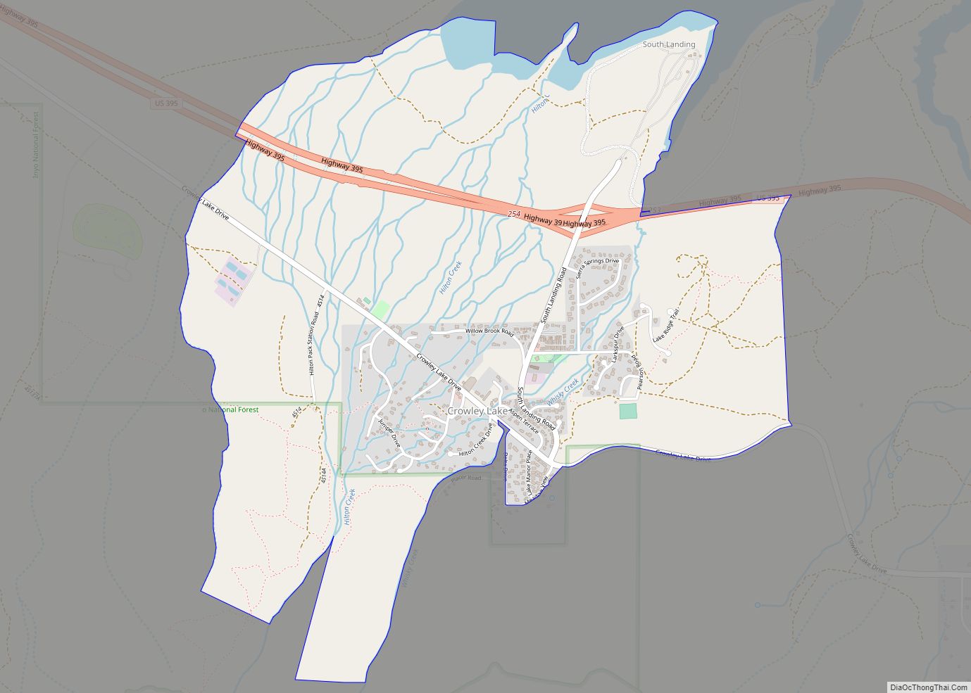
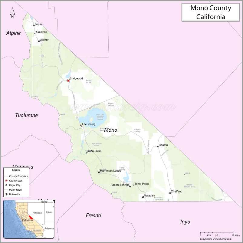
Mono County (/ˈmoʊnoʊ/ MOH-noh) is a county located in the east central portion of the U.S. state of California. As of the 2020 census, the population was 13,195, making it the fourth-least populous county in California. The county seat is Bridgeport. The county is located east of the Sierra Nevada between Yosemite National Park and Nevada. The only incorporated town in the county is Mammoth Lakes, which is located at the foot of Mammoth Mountain. Other locations, such as June Lake, are also famous as skiing and fishing resorts. Located in the middle of the county is Mono Lake, a vital habitat for millions of migratory and nesting birds. The lake is located in a wild natural setting, with pinnacles of tufa arising out of the salty and alkaline lake. Also located in Mono County is Bodie, the official state gold rush ghost town, which is now a California State Historic Park.
| Name: | Mono County |
|---|---|
| FIPS code: | 06-051 |
| State: | California |
| Founded: | 1861 |
| Named for: | Mono Lake, which is derived from Monachi, a Yokutsan name for native peoples of the Sierra Nevada |
| Seat: | Bridgeport |
| Largest city: | Mammoth Lakes |
| Total Area: | 3,132 sq mi (8,110 km²) |
| Land Area: | 3,049 sq mi (7,900 km²) |
| Total Population: | 13,195 |
| Population Density: | 4.2/sq mi (1.6/km²) |
| Time zone: | UTC-8 (Pacific Time Zone) |
| Summer Time Zone (DST): | UTC-7 (Pacific Daylight Time) |
| Website: | www.monocounty.ca.gov |
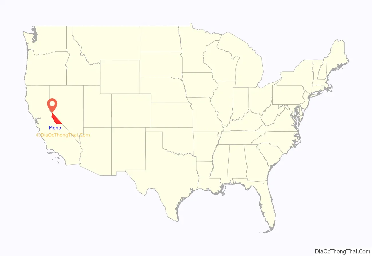
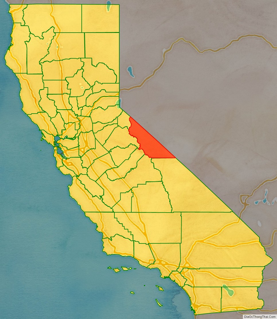
Mono County location map. Where is Mono County?
History
Mono County was formed in 1861 from parts of Calaveras, Fresno and Mariposa counties. A portion of northern Mono County contributed to the formation of Alpine County in 1864; parts of the county’s territory were given to Inyo County in 1866.
The county is named after Mono Lake which, in 1852, was named for a Native American Paiute tribe, the Mono people, who historically inhabited the Sierra Nevada from north of Mono Lake to Owens Lake. The tribe’s western neighbors, the Yokuts, called them monachie, meaning “fly people” because they used fly larvae as their chief food staple and trading article.
Archeologists know almost nothing about the first inhabitants of the county, as little material evidence has been found from them. The Kuzedika, a band of Paiute, had been there many generations by the time the first anglophones arrived. The Kuzedika were hunter-gatherers and their language is a part of the Shoshone language.
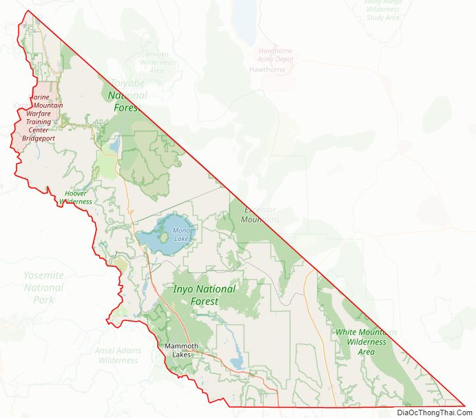
Mono County Road Map
Geography
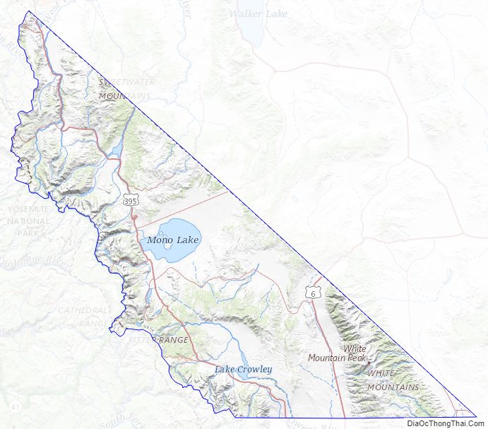
According to the U.S. Census Bureau, the county has a total area of 3,132 square miles (8,110 km), of which 3,049 square miles (7,900 km) is land and 83 square miles (210 km) (2.6%) is water. The highest point in Mono County is White Mountain Peak which, at 14,252 feet (4344.0 m), is the third-highest peak in California.
Adjacent counties
- Inyo County – south
- Fresno County – southwest
- Madera County – southwest
- Tuolumne County– west
- Alpine County – northwest
- Douglas County, Nevada – north
- Lyon County, Nevada – northeast
- Mineral County, Nevada – east
- Esmeralda County, Nevada – southeast
National protected areas
- Inyo National Forest (part)
- Humboldt–Toiyabe National Forest (part)
- Granite Mountain Wilderness (California)
Mono County Topographic Map
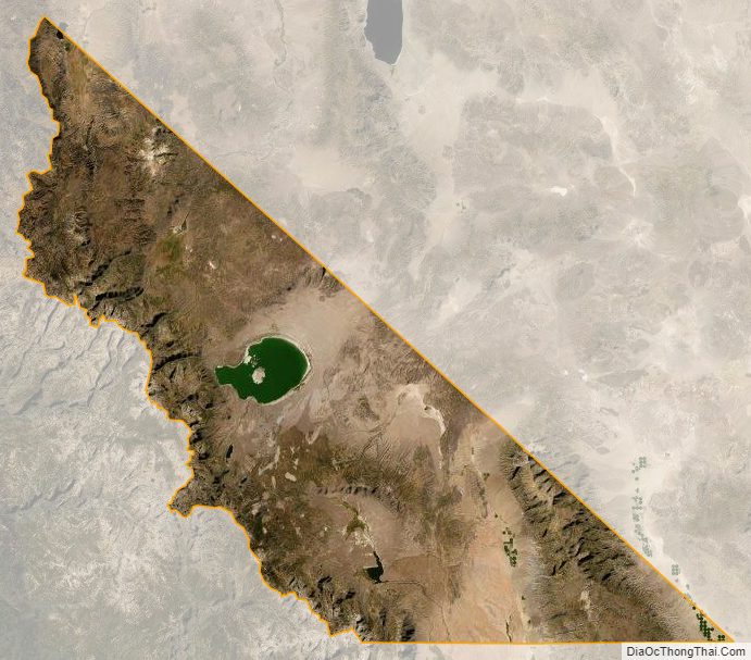
Mono County Satellite Map
Mono County Outline Map