Auglaize County (/ˈɔːɡleɪz/) is a county in Northwestern Ohio, United States. As of the 2020 census, the population was 46,442. Its county seat and largest city is Wapakoneta.
Auglaize County comprises the Wapakoneta Micropolitan Statistical Area, which is also included in the Lima–Van Wert–Celina Combined Statistical Area.
| Name: | Auglaize County |
|---|---|
| FIPS code: | 39-011 |
| State: | Ohio |
| Founded: | February 14, 1848 |
| Named for: | Auglaize River |
| Seat: | Wapakoneta |
| Largest city: | Wapakoneta |
| Total Area: | 402 sq mi (1,040 km²) |
| Land Area: | 401 sq mi (1,040 km²) |
| Total Population: | 46,442 |
| Population Density: | 120/sq mi (45/km²) |
| Time zone: | UTC−5 (Eastern) |
| Summer Time Zone (DST): | UTC−4 (EDT) |
| Website: | www.auglaizecounty.org |
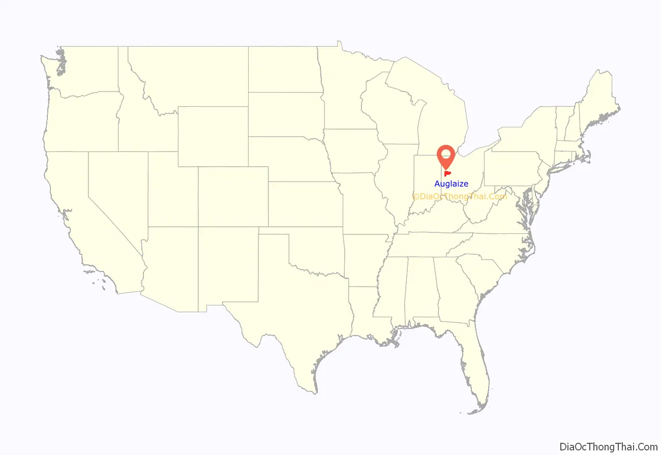
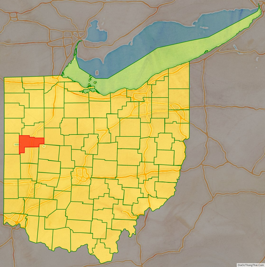
Auglaize County location map. Where is Auglaize County?
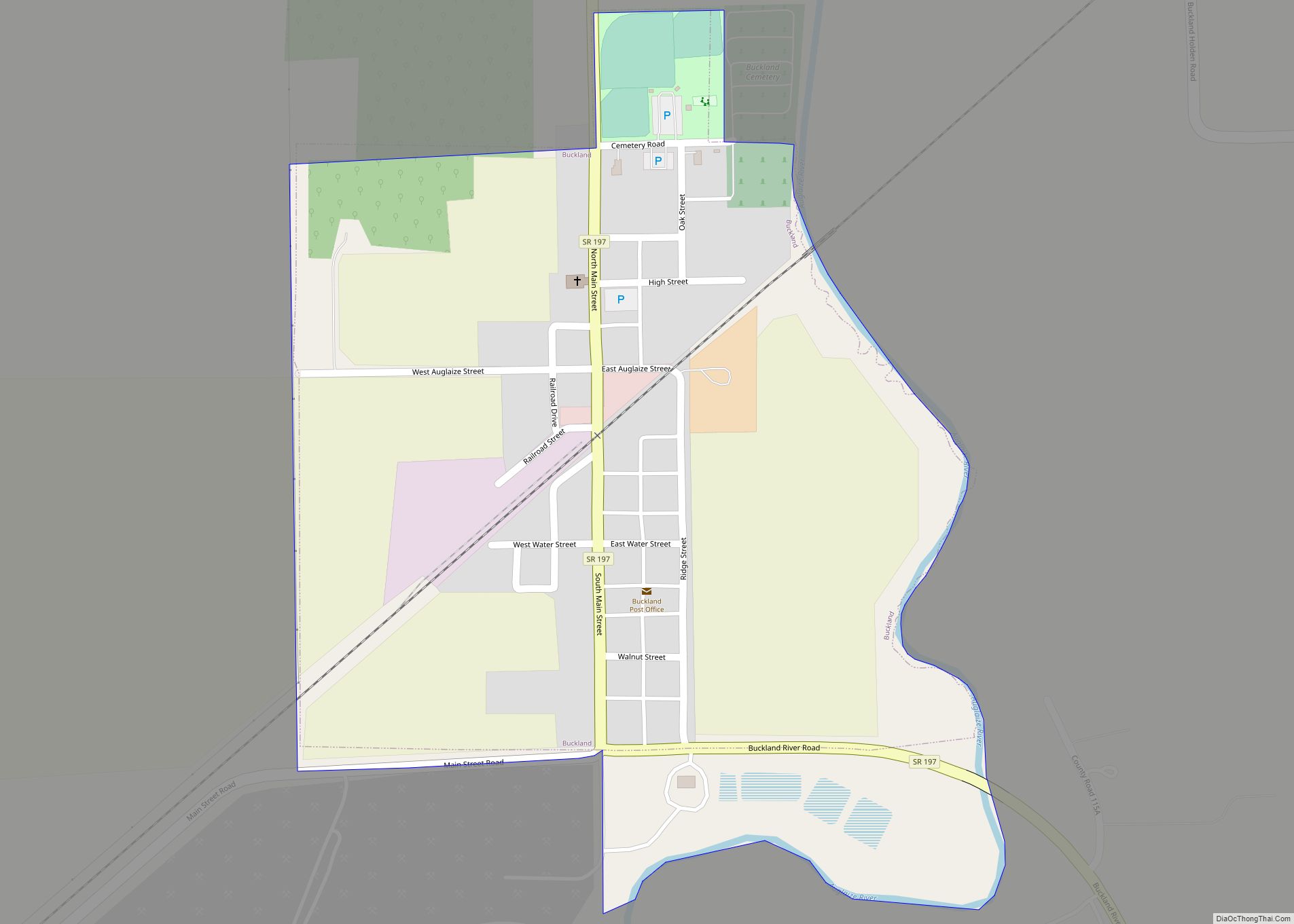
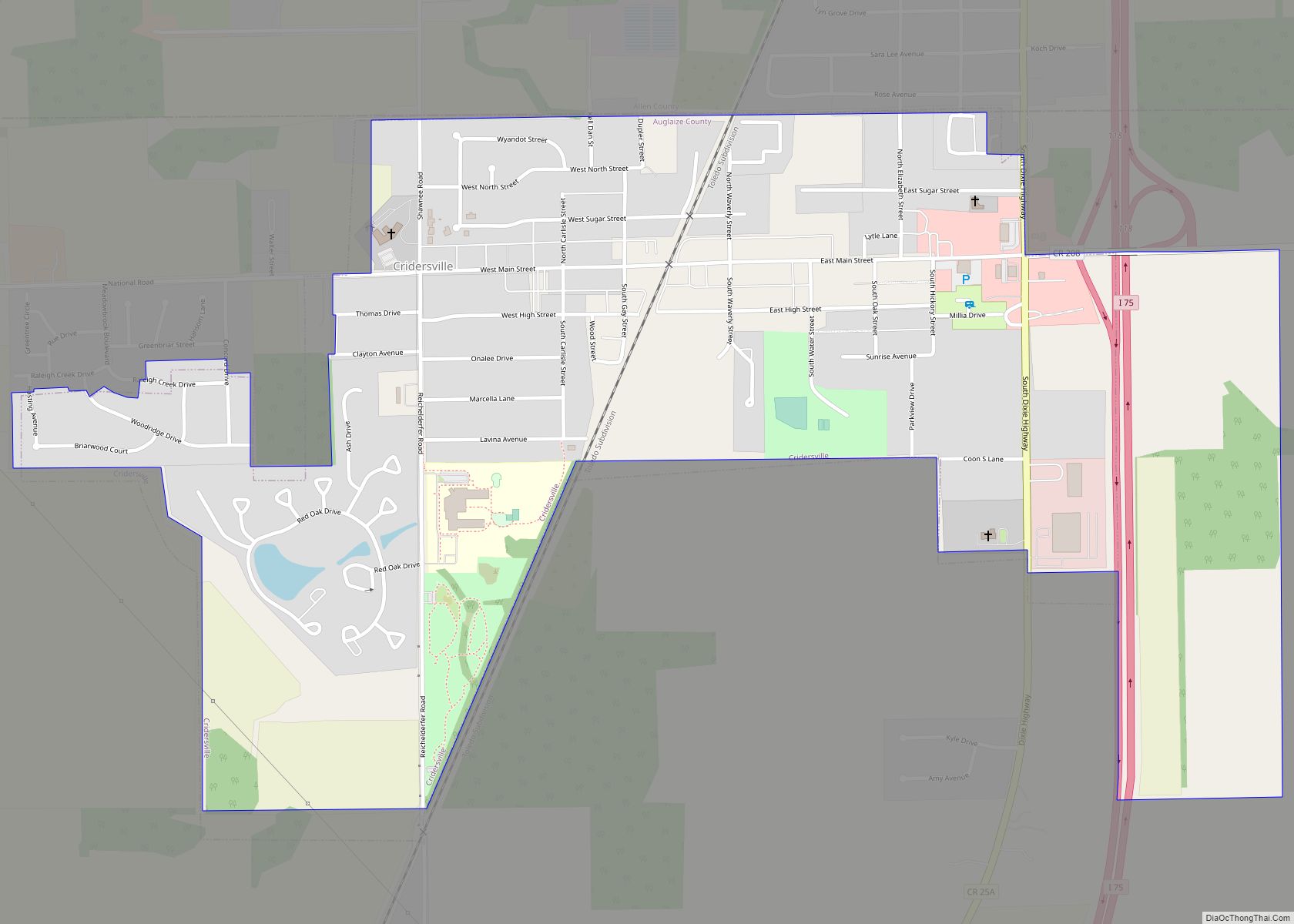
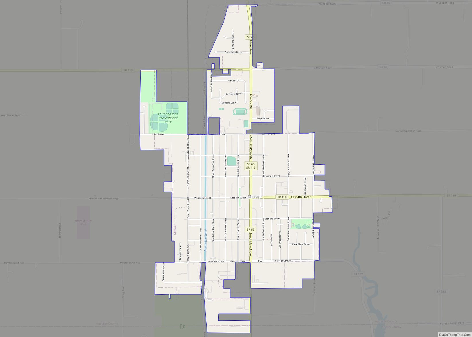
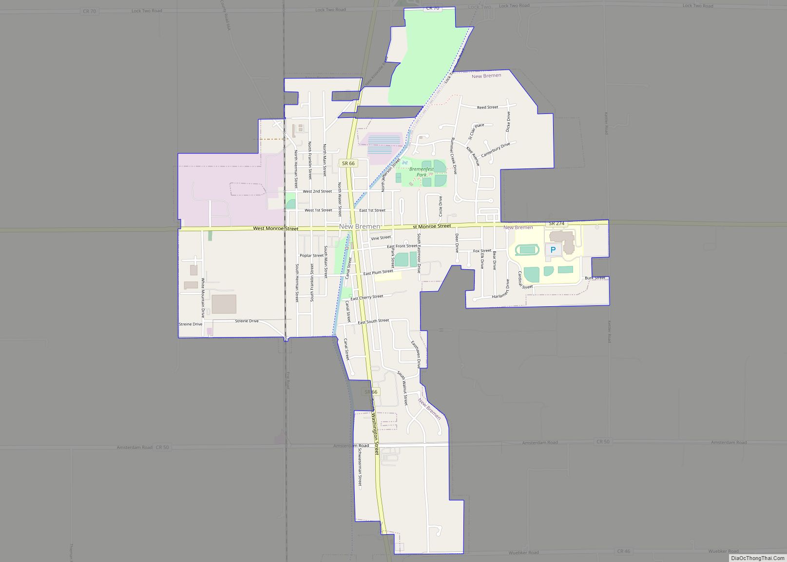
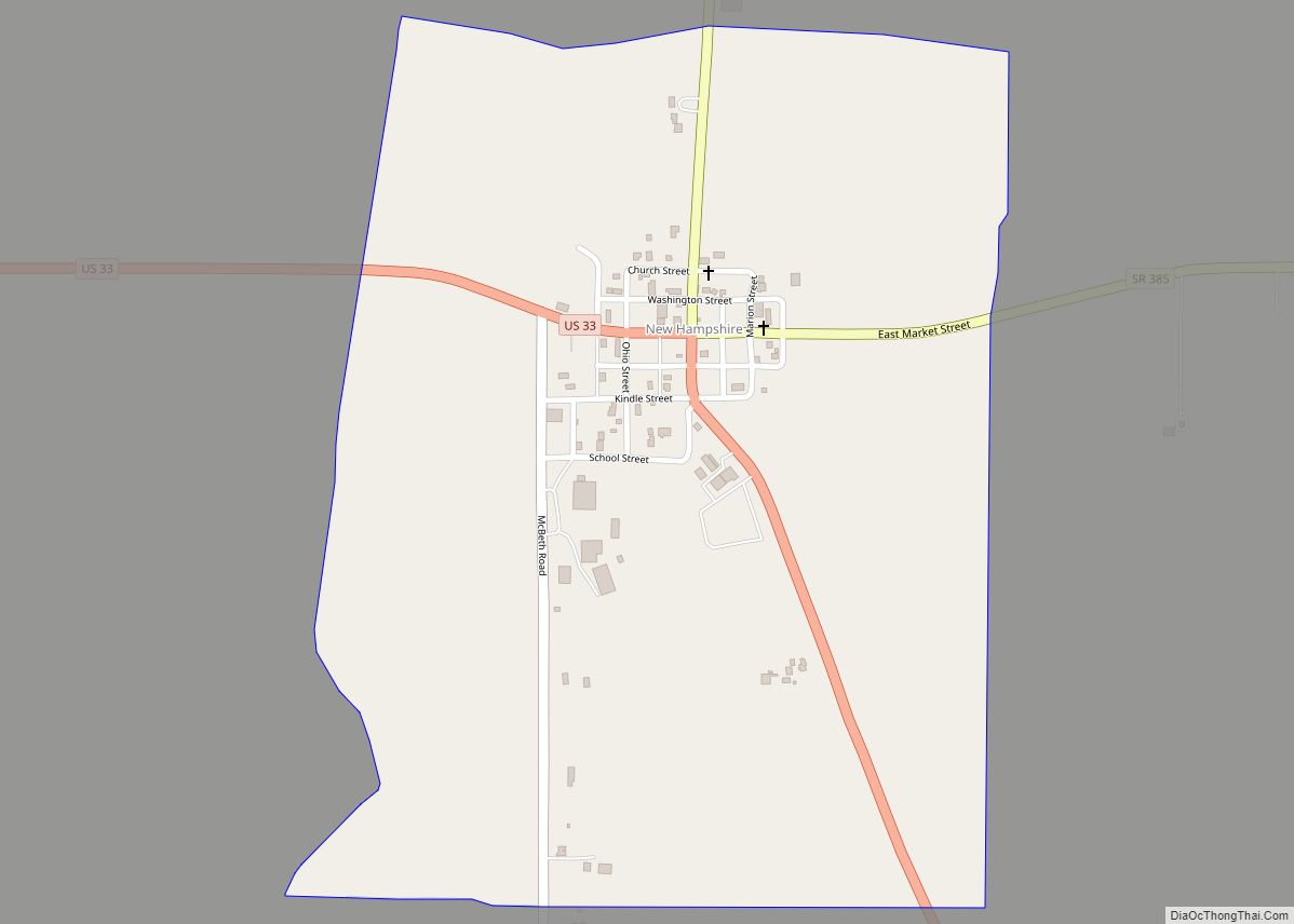
Auglaize County Road Map
Geography
According to the U.S. Census Bureau, the county has an area of 402 square miles (1,040 km), of which 401 square miles (1,040 km) is land and 0.5 square miles (1.3 km) (0.1%) is water. It is Ohio’s second-smallest county by area.
The county is crossed by the Auglaize River and the Miami and Erie Canal. The headwaters of the Saint Marys River, the Great Miami River and the Scioto River as well as parts of Grand Lake St. Marys and Lake Loramie are in the county.
Adjacent counties
- Allen County – north
- Hardin County – east
- Logan County – southeast
- Shelby County – south
- Mercer County – west
- Van Wert County – northwest
