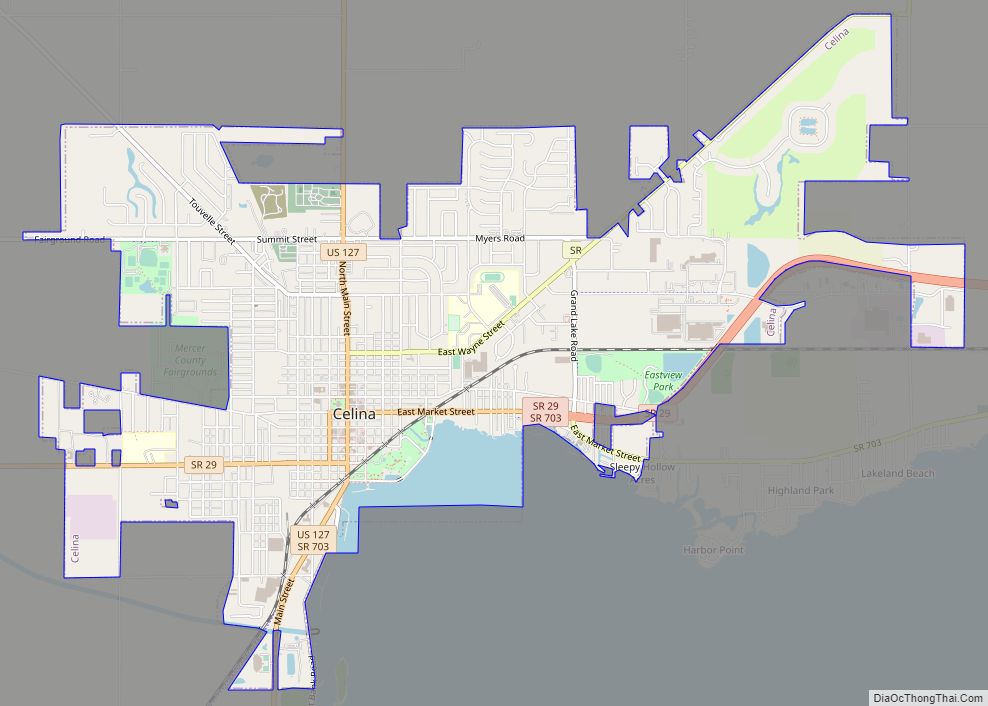
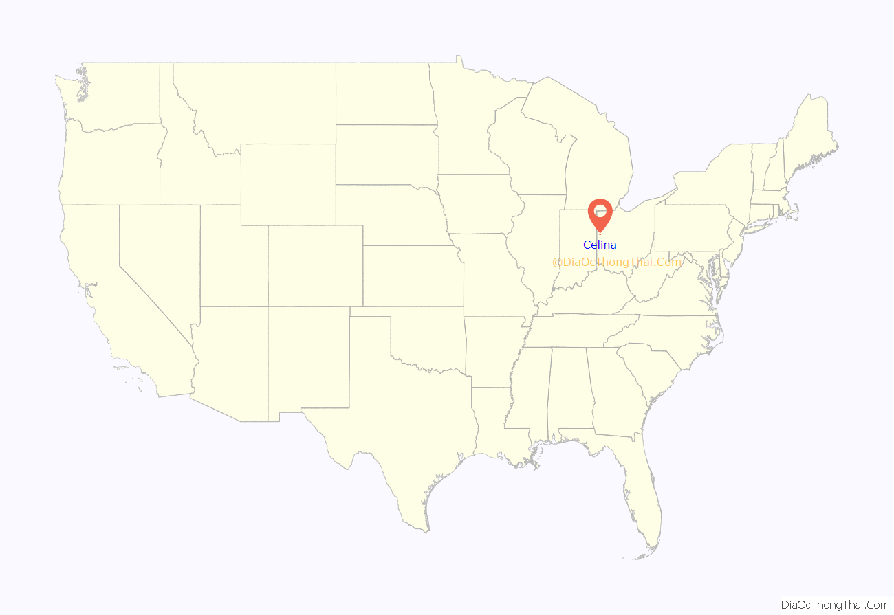
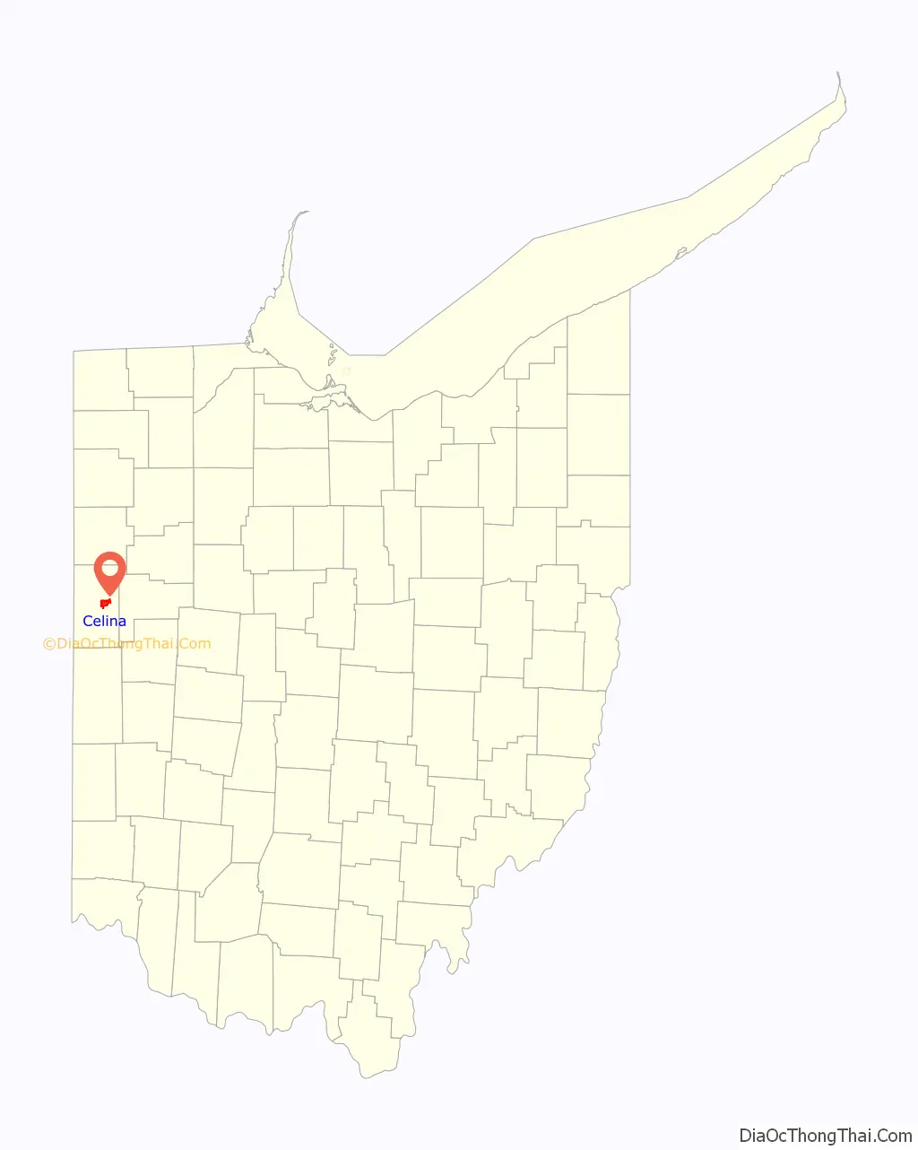
Celina (/səˈlaɪnə/ sə-LY-nə) is a city in and the county seat of Mercer County, Ohio, United States about 58 miles northwest of Dayton. The population was 10,400 at the 2010 census. Celina is situated on the northwestern shores of Grand Lake St. Marys.
| Name: | Celina city |
|---|---|
| LSAD Code: | 25 |
| LSAD Description: | city (suffix) |
| State: | Ohio |
| County: | Mercer County |
| Elevation: | 876 ft (267 m) |
| Total Area: | 5.35 sq mi (13.87 km²) |
| Land Area: | 5.03 sq mi (13.02 km²) |
| Water Area: | 0.33 sq mi (0.84 km²) |
| Total Population: | 10,935 |
| Population Density: | 2,174.82/sq mi (839.71/km²) |
| ZIP code: | 45822, 45826 |
| Area code: | 419 |
| FIPS code: | 3912868 |
| GNISfeature ID: | 1048589 |
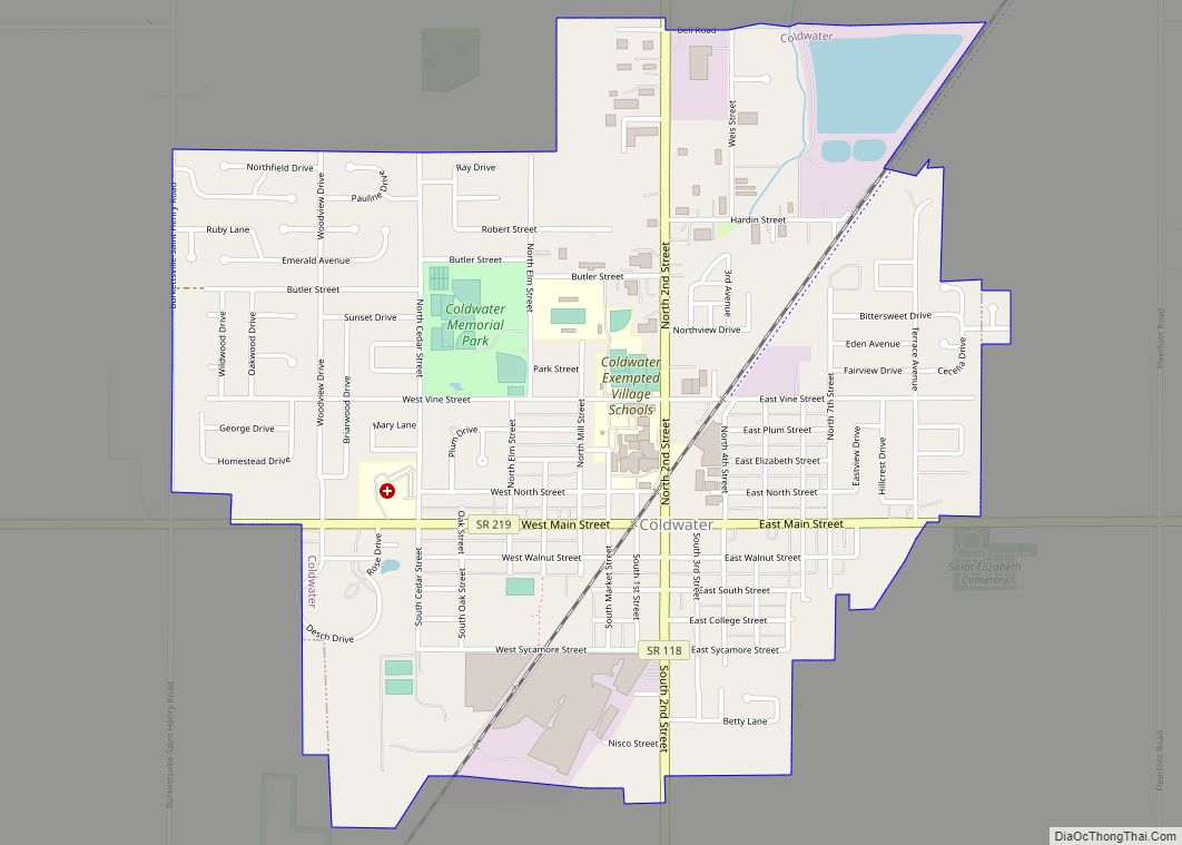
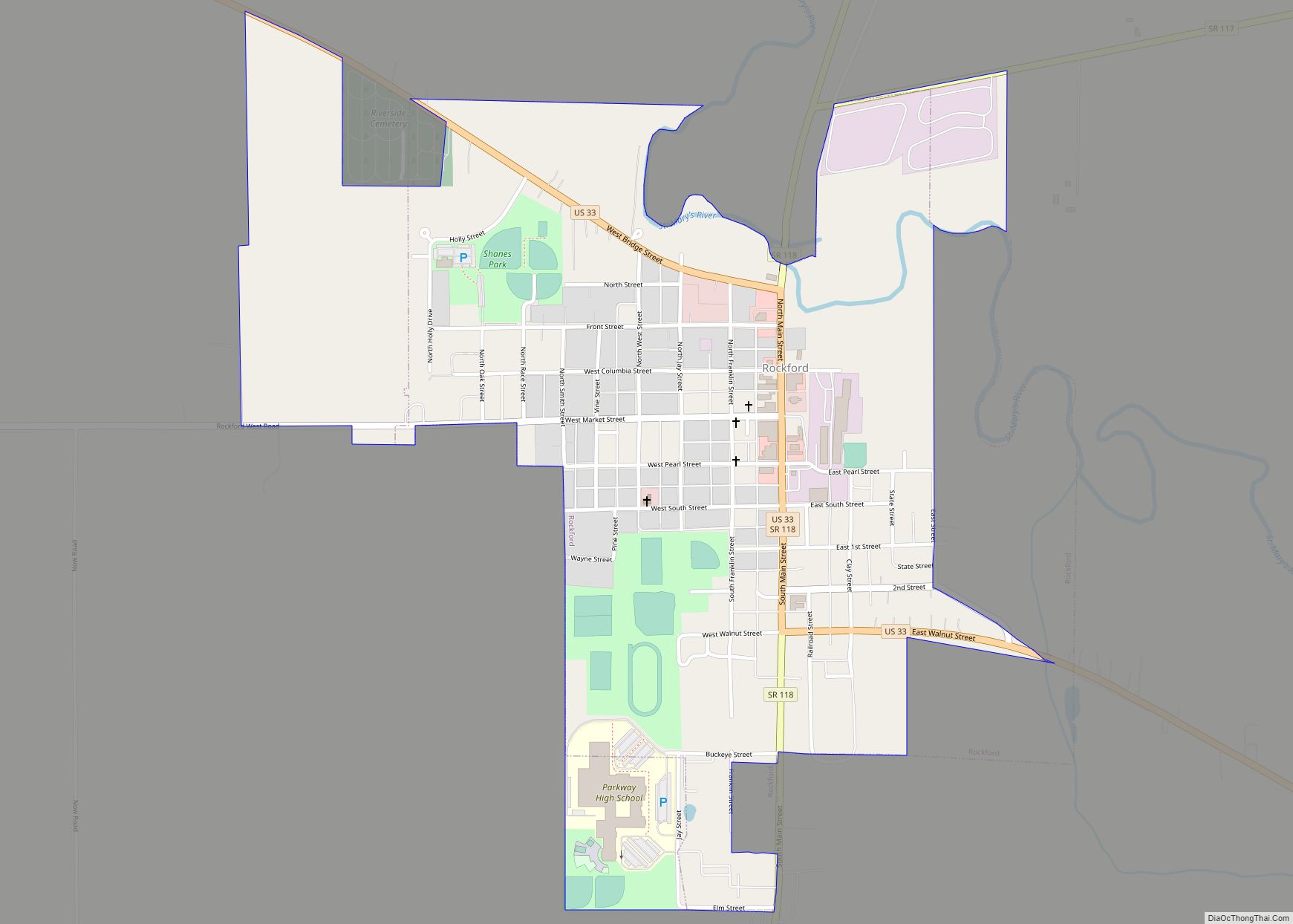
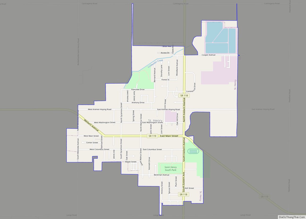
Online Interactive Map
Click on ![]() to view map in "full screen" mode.
to view map in "full screen" mode.
Celina location map. Where is Celina city?
History
James Watson Riley established Celina in 1834. The settlement was named after Salina, New York.
The town was hit by a deadly EF3 tornado on May 27, 2019. Numerous homes, building, trees, and power lines and poles were damaged or destroyed. One person was killed and eight others were injured.
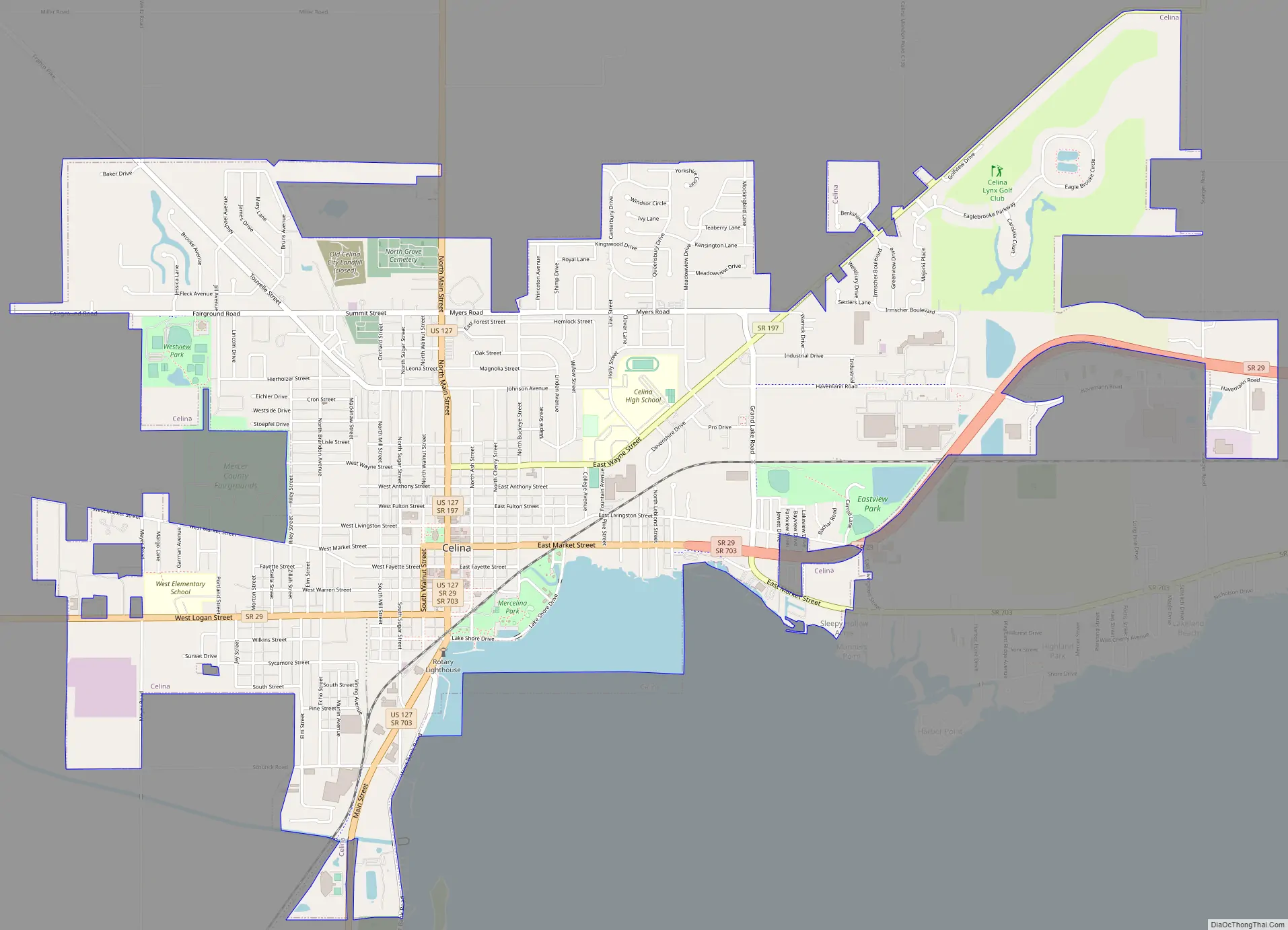
Celina Road Map
Celina city Satellite Map
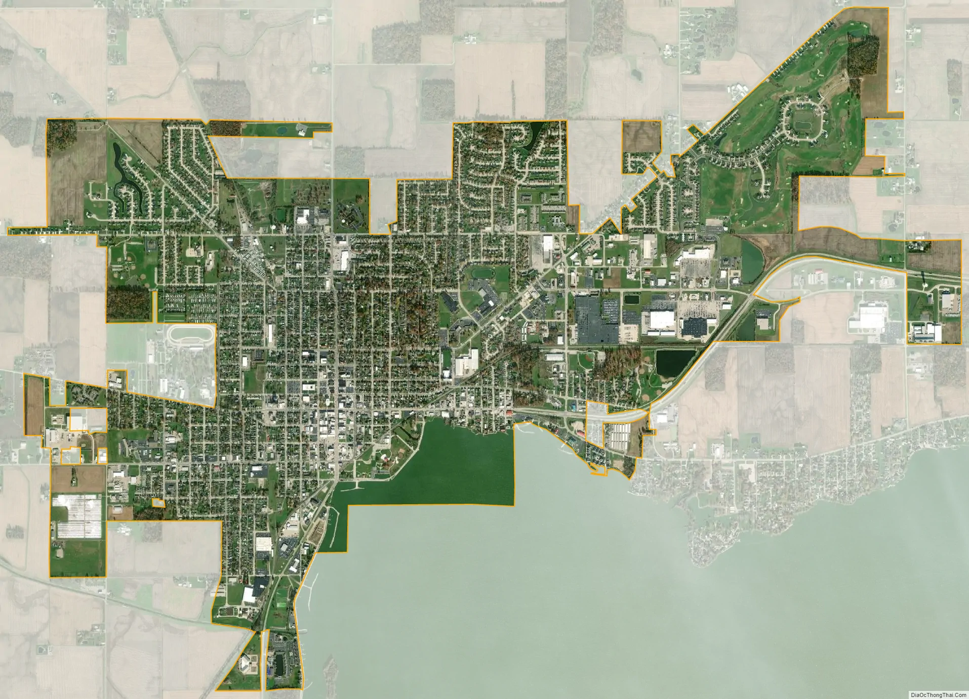
Geography
Celina is located at 40°33′5″N 84°34′12″W / 40.55139°N 84.57000°W / 40.55139; -84.57000 (40.551459, -84.570057), at an elevation of 886 feet (270 m). According to the United States Census Bureau, the city has a total area of 5.27 square miles (13.65 km), of which 4.98 square miles (12.90 km) is land and 0.29 square miles (0.75 km) is water.
See also
Map of Ohio State and its subdivision:- Adams
- Allen
- Ashland
- Ashtabula
- Athens
- Auglaize
- Belmont
- Brown
- Butler
- Carroll
- Champaign
- Clark
- Clermont
- Clinton
- Columbiana
- Coshocton
- Crawford
- Cuyahoga
- Darke
- Defiance
- Delaware
- Erie
- Fairfield
- Fayette
- Franklin
- Fulton
- Gallia
- Geauga
- Greene
- Guernsey
- Hamilton
- Hancock
- Hardin
- Harrison
- Henry
- Highland
- Hocking
- Holmes
- Huron
- Jackson
- Jefferson
- Knox
- Lake
- Lake Erie
- Lawrence
- Licking
- Logan
- Lorain
- Lucas
- Madison
- Mahoning
- Marion
- Medina
- Meigs
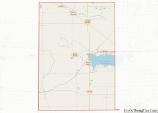
- Mercer
- Miami
- Monroe
- Montgomery
- Morgan
- Morrow
- Muskingum
- Noble
- Ottawa
- Paulding
- Perry
- Pickaway
- Pike
- Portage
- Preble
- Putnam
- Richland
- Ross
- Sandusky
- Scioto
- Seneca
- Shelby
- Stark
- Summit
- Trumbull
- Tuscarawas
- Union
- Van Wert
- Vinton
- Warren
- Washington
- Wayne
- Williams
- Wood
- Wyandot
- Alabama
- Alaska
- Arizona
- Arkansas
- California
- Colorado
- Connecticut
- Delaware
- District of Columbia
- Florida
- Georgia
- Hawaii
- Idaho
- Illinois
- Indiana
- Iowa
- Kansas
- Kentucky
- Louisiana
- Maine
- Maryland
- Massachusetts
- Michigan
- Minnesota
- Mississippi
- Missouri
- Montana
- Nebraska
- Nevada
- New Hampshire
- New Jersey
- New Mexico
- New York
- North Carolina
- North Dakota
- Ohio
- Oklahoma
- Oregon
- Pennsylvania
- Rhode Island
- South Carolina
- South Dakota
- Tennessee
- Texas
- Utah
- Vermont
- Virginia
- Washington
- West Virginia
- Wisconsin
- Wyoming