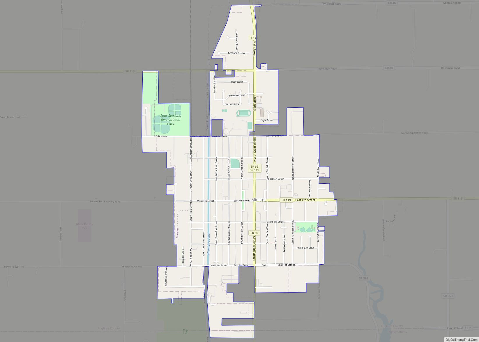
Minster is a village in Auglaize and Shelby counties, in the U.S. state of Ohio. The population was 2,805 at the 2010 census. It is included in the Wapakoneta, Ohio Micropolitan Statistical Area. It is adjacent to the village of New Bremen to the north.
Minster is the home of the world’s largest yogurt plant, operated by Dannon, which employs more than 400 people. The Minster Machine Company is also headquartered in Minster.
| Name: | Minster village |
|---|---|
| LSAD Code: | 47 |
| LSAD Description: | village (suffix) |
| State: | Ohio |
| County: | Auglaize County |
| Elevation: | 965 ft (294 m) |
| Total Area: | 2.11 sq mi (5.47 km²) |
| Land Area: | 2.11 sq mi (5.47 km²) |
| Water Area: | 0.00 sq mi (0.00 km²) |
| Total Population: | 3,046 |
| Population Density: | 1,442.23/sq mi (556.85/km²) |
| ZIP code: | 45865 |
| Area code: | 419 |
| FIPS code: | 3950918 |
| GNISfeature ID: | 1070847 |
| Website: | http://www.minsteroh.com/ |
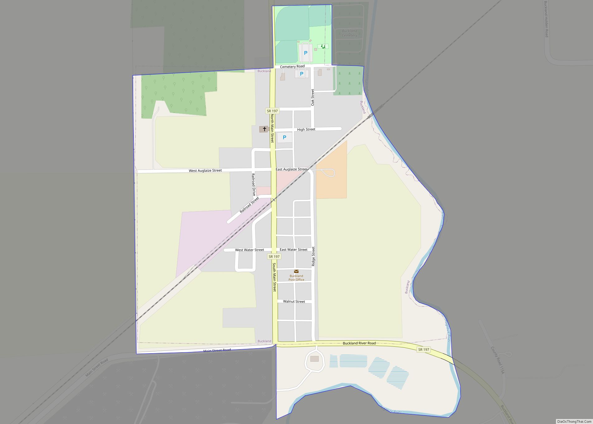
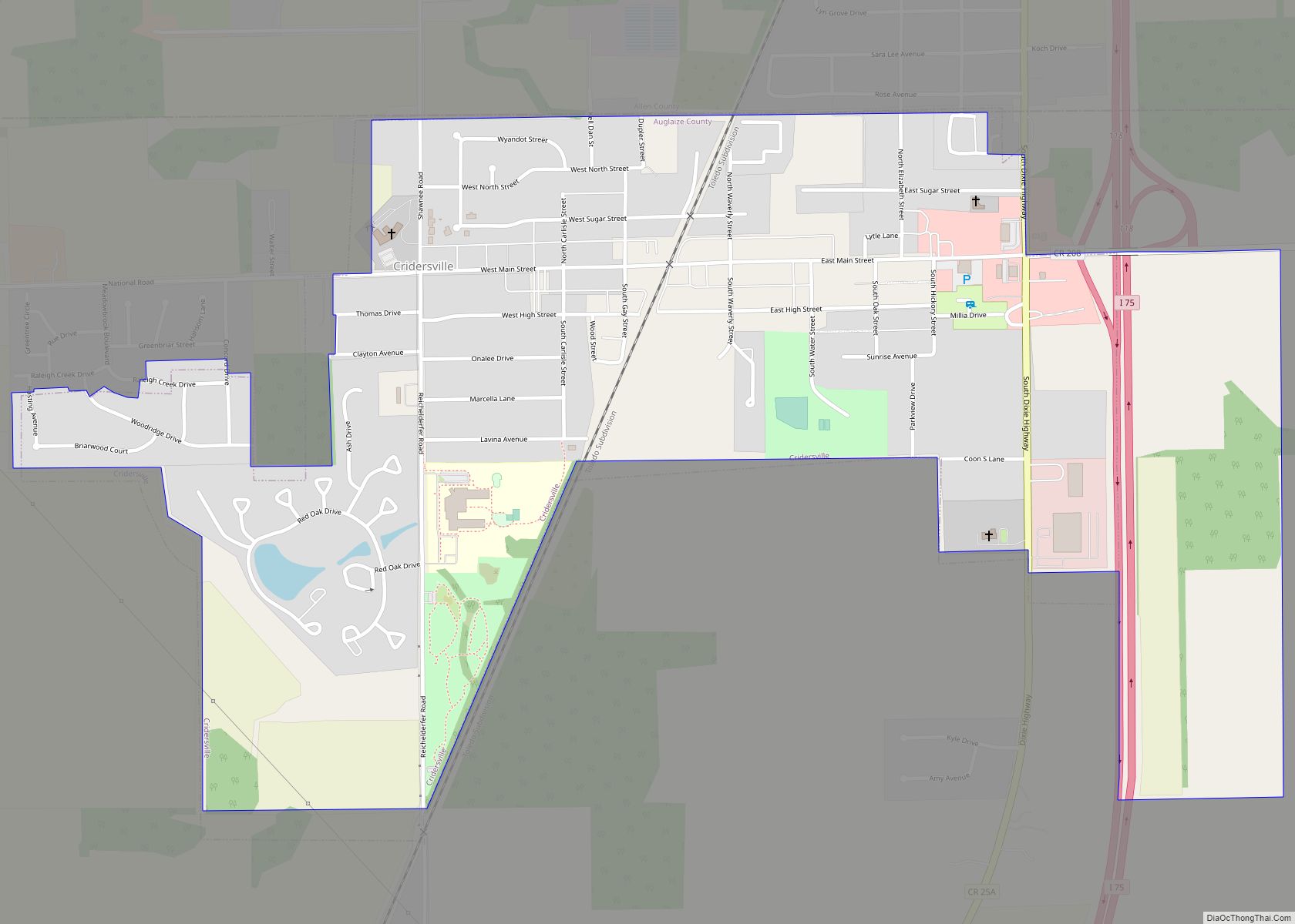
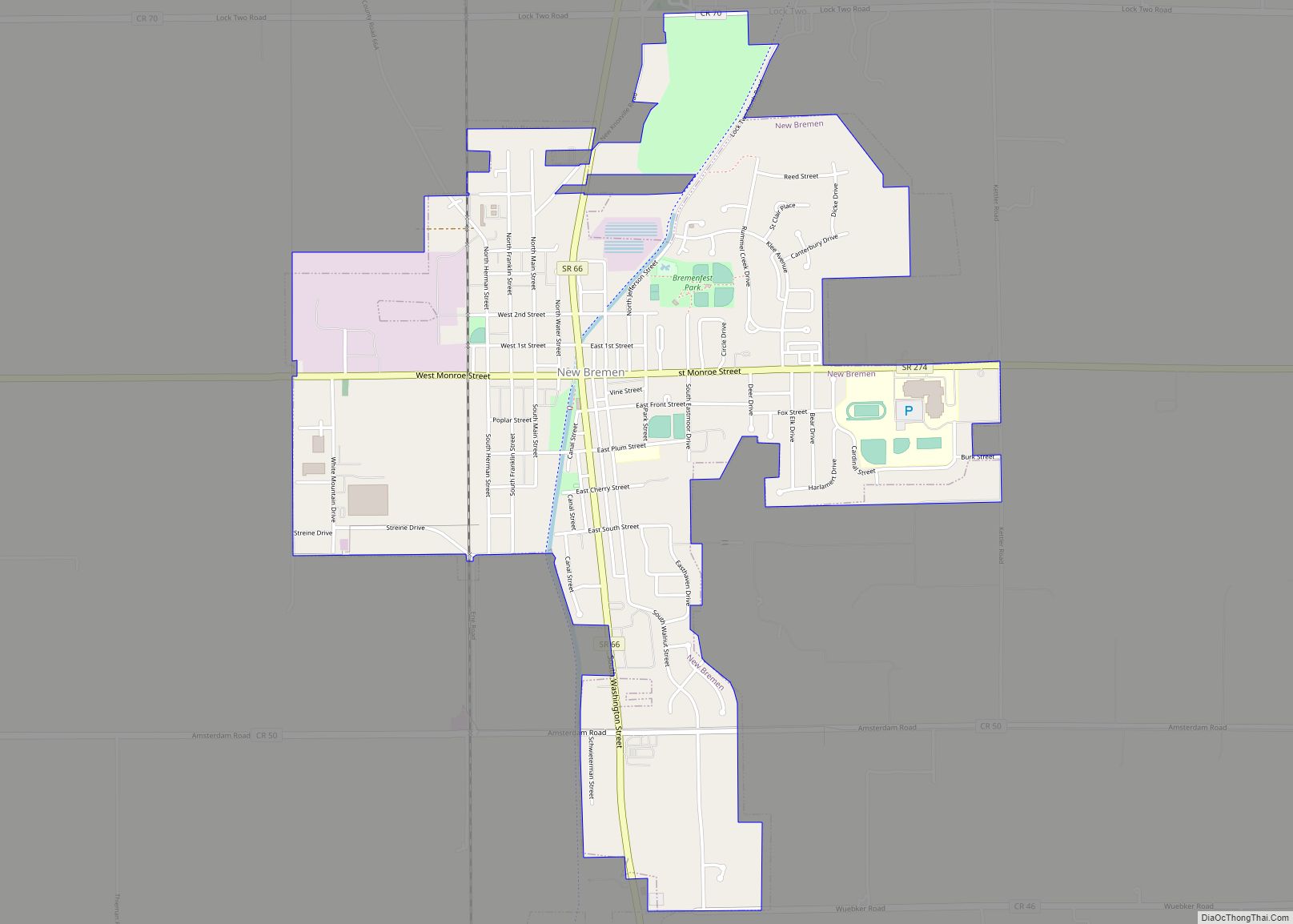
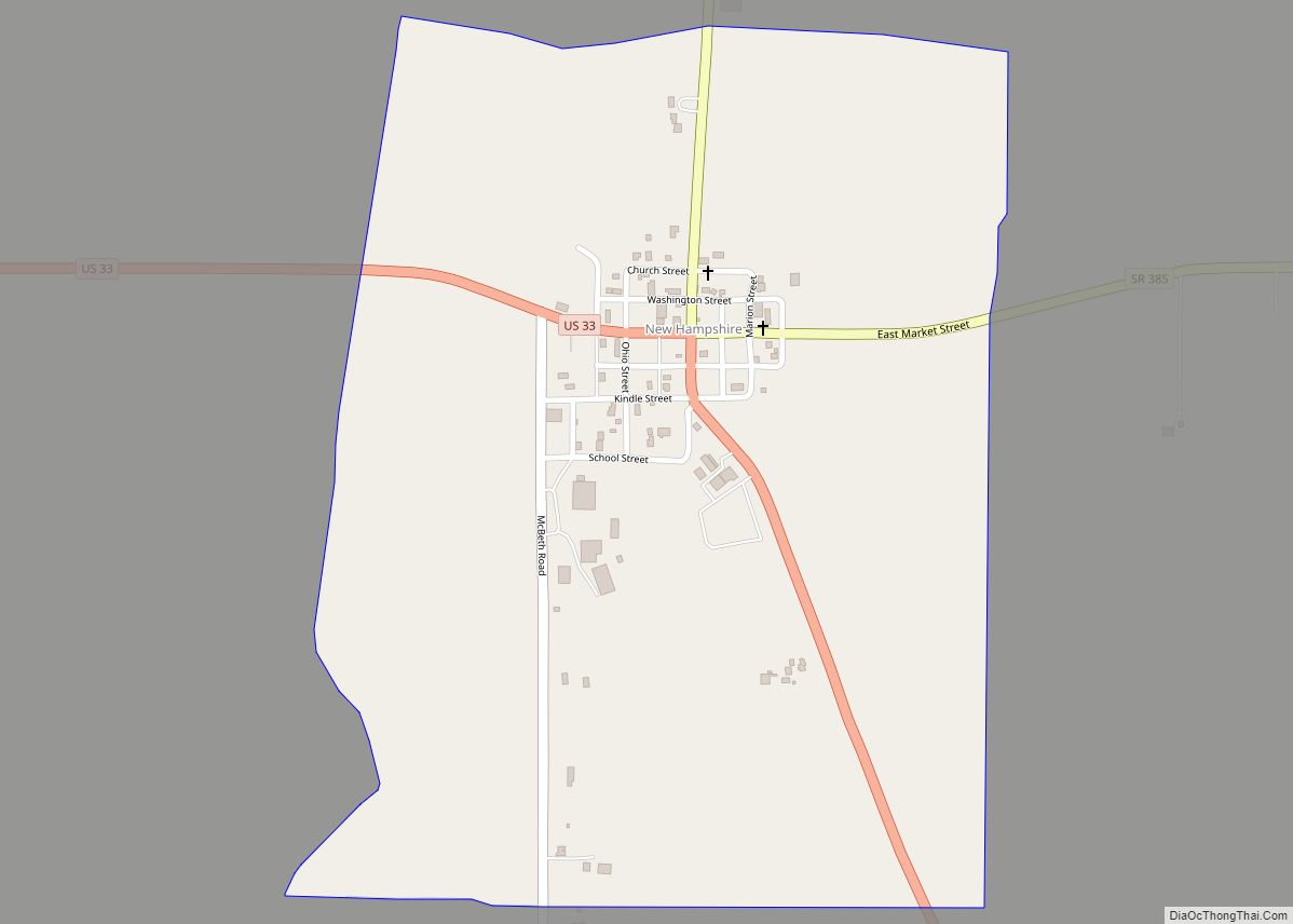
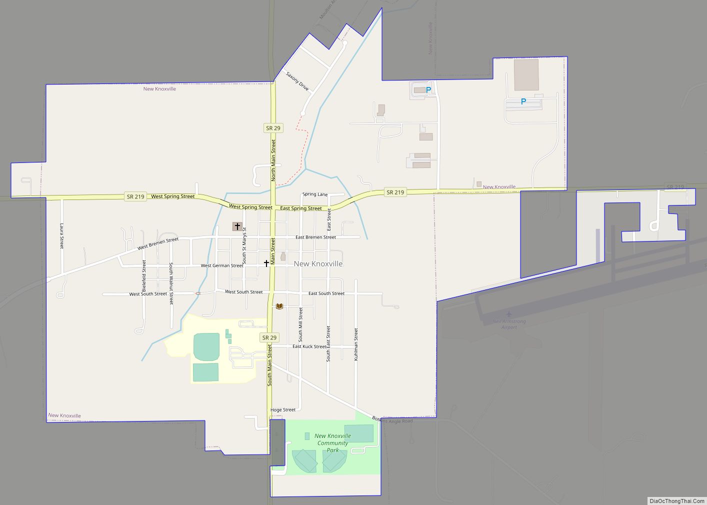
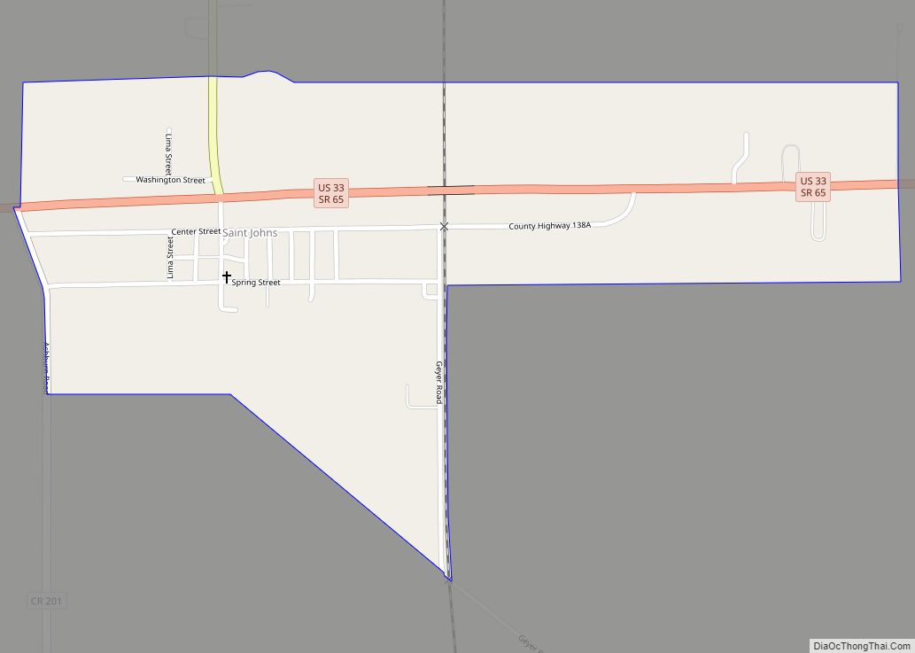
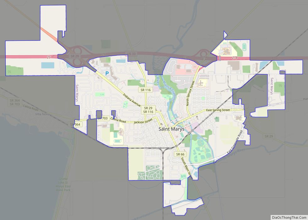
Online Interactive Map
Click on ![]() to view map in "full screen" mode.
to view map in "full screen" mode.
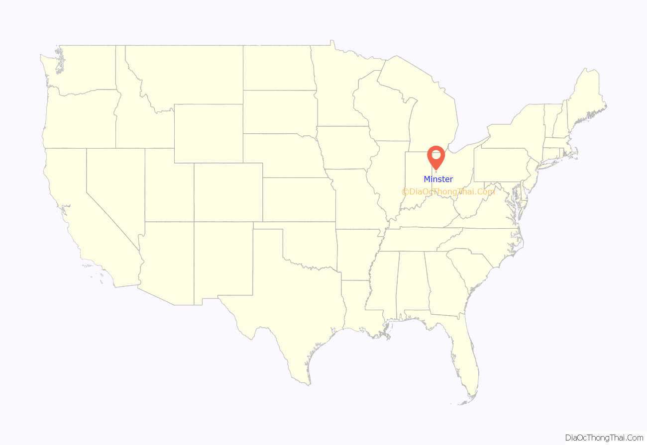
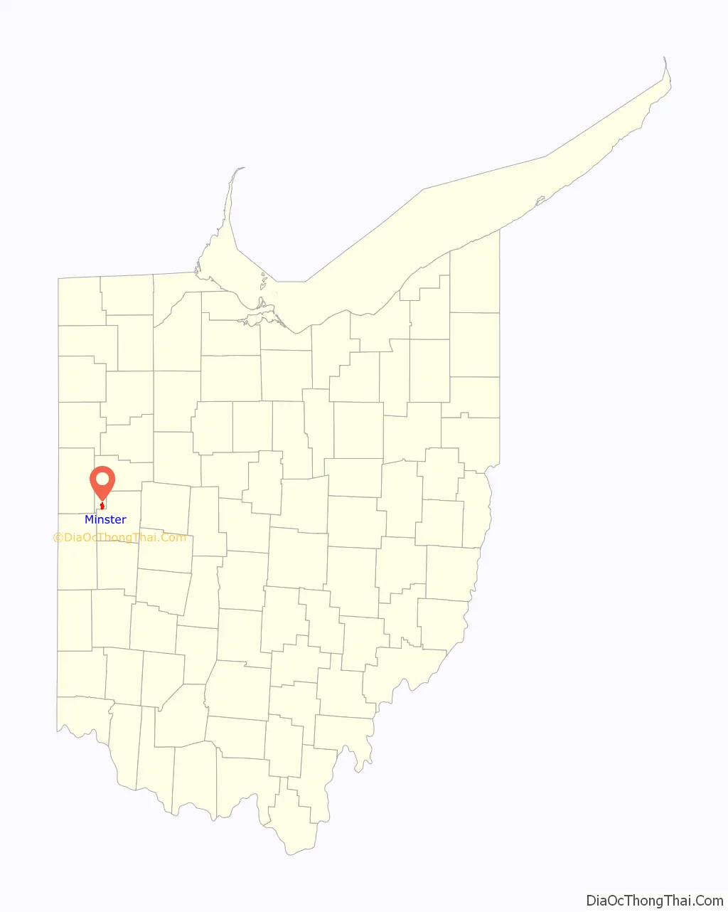
Minster location map. Where is Minster village?
History
Founded in 1832 as Stallostown (for its founder Francis Stallo), the village changed its name to Minster in 1836 (after the heavily Roman Catholic region of Münster in Westphalia, from which many of the settlers came). Minster was founded as part of Mercer County, but it was given to Auglaize County when it was created in 1848. It was mostly comprised from the beginning by German settlers coming from Cincinnati by way of the Miami-Erie Canal bringing their farming skills and Catholic faith with them. Most of the roads in Minster were originally named after places in Germany and surrounding areas. For example, Webster St. was known as Berlin St.. It was named after Berlin, Germany. Hamilton St. was known as Vienna St., and it was named after Vienna, Austria, Jefferson St. was known as Oldenburg St., and it was named for Oldenburg, Germany. A Yearly Oktoberfest is celebrated commending Minster’s vast history and German roots.
Minster Road Map
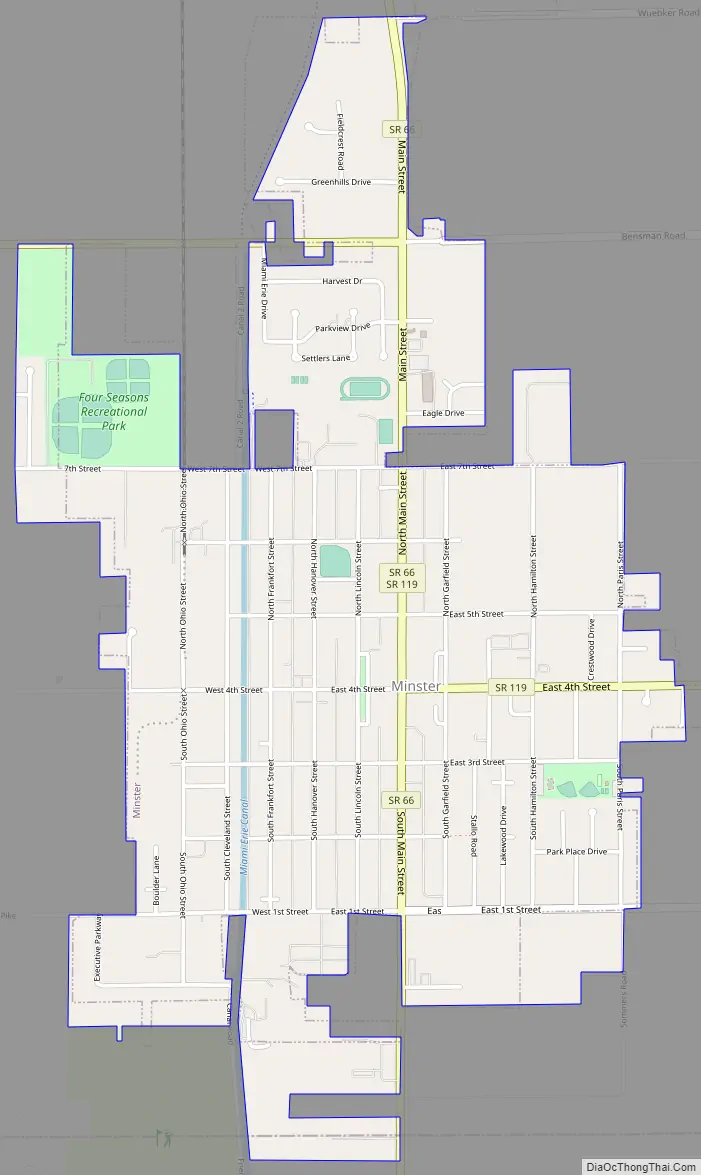
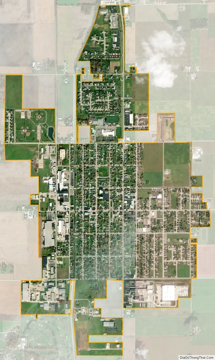
Minster city Satellite Map
Geography
Minster is located at 40°23′37″N 84°22′42″W / 40.39361°N 84.37833°W / 40.39361; -84.37833 (40.393706, -84.378266).
According to the United States Census Bureau, the village has a total area of 1.93 square miles (5.00 km), all land.
See also
Map of Ohio State and its subdivision:- Adams
- Allen
- Ashland
- Ashtabula
- Athens
- Auglaize
- Belmont
- Brown
- Butler
- Carroll
- Champaign
- Clark
- Clermont
- Clinton
- Columbiana
- Coshocton
- Crawford
- Cuyahoga
- Darke
- Defiance
- Delaware
- Erie
- Fairfield
- Fayette
- Franklin
- Fulton
- Gallia
- Geauga
- Greene
- Guernsey
- Hamilton
- Hancock
- Hardin
- Harrison
- Henry
- Highland
- Hocking
- Holmes
- Huron
- Jackson
- Jefferson
- Knox
- Lake
- Lake Erie
- Lawrence
- Licking
- Logan
- Lorain
- Lucas
- Madison
- Mahoning
- Marion
- Medina
- Meigs
- Mercer
- Miami
- Monroe
- Montgomery
- Morgan
- Morrow
- Muskingum
- Noble
- Ottawa
- Paulding
- Perry
- Pickaway
- Pike
- Portage
- Preble
- Putnam
- Richland
- Ross
- Sandusky
- Scioto
- Seneca
- Shelby
- Stark
- Summit
- Trumbull
- Tuscarawas
- Union
- Van Wert
- Vinton
- Warren
- Washington
- Wayne
- Williams
- Wood
- Wyandot
- Alabama
- Alaska
- Arizona
- Arkansas
- California
- Colorado
- Connecticut
- Delaware
- District of Columbia
- Florida
- Georgia
- Hawaii
- Idaho
- Illinois
- Indiana
- Iowa
- Kansas
- Kentucky
- Louisiana
- Maine
- Maryland
- Massachusetts
- Michigan
- Minnesota
- Mississippi
- Missouri
- Montana
- Nebraska
- Nevada
- New Hampshire
- New Jersey
- New Mexico
- New York
- North Carolina
- North Dakota
- Ohio
- Oklahoma
- Oregon
- Pennsylvania
- Rhode Island
- South Carolina
- South Dakota
- Tennessee
- Texas
- Utah
- Vermont
- Virginia
- Washington
- West Virginia
- Wisconsin
- Wyoming