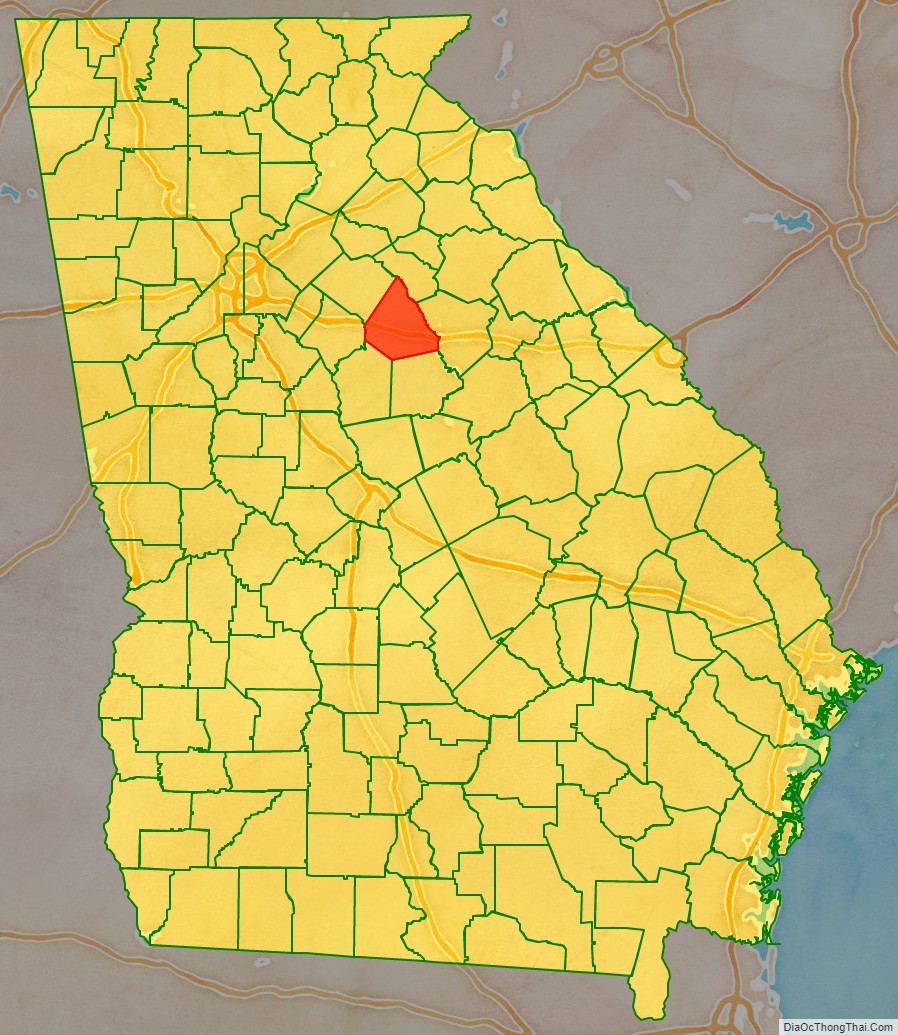
Morgan County is a county located in the north central Piedmont region and the lake country region of the U.S. state of Georgia. As of the 2020 census, the population was 20,097. The county seat is Madison.
Since the early 21st century, the county has had a housing boom. It has proximity to Lake Oconee, a recreation site, as well as to major employment centers such as Atlanta, Athens, Augusta and Macon.
| Name: | Morgan County |
|---|---|
| FIPS code: | 13-211 |
| State: | Georgia |
| Founded: | 1807 |
| Seat: | Madison |
| Largest city: | Madison |
| Total Area: | 361 sq mi (930 km²) |
| Land Area: | 345 sq mi (890 km²) |
| Total Population: | 20,097 |
| Population Density: | 58/sq mi (22/km²) |
| Time zone: | UTC−5 (Eastern) |
| Summer Time Zone (DST): | UTC−4 (EDT) |
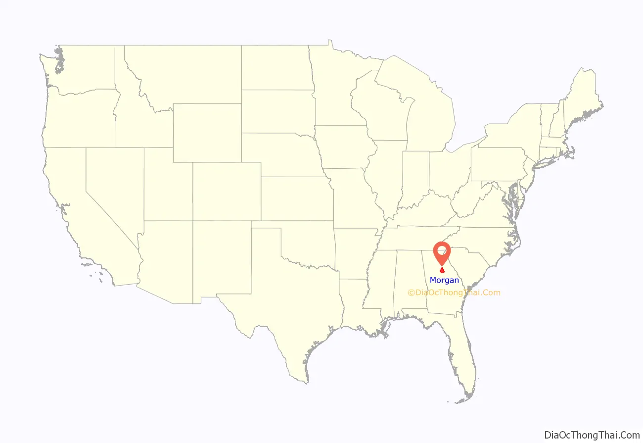
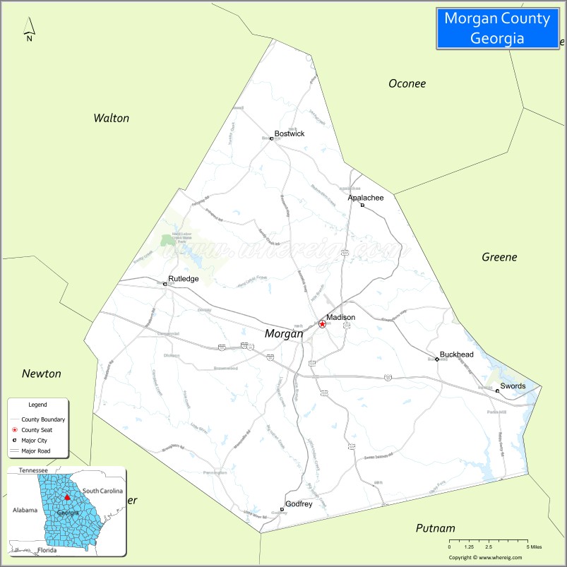
Morgan County location map. Where is Morgan County?
History
Morgan County was created on December 10, 1807. It was named for renowned Revolutionary War commander Daniel Morgan. During the American Civil War, the county provided the Panola Guards, which was a part of Cobb’s Legion.
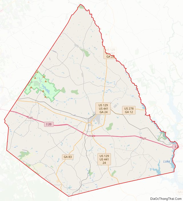
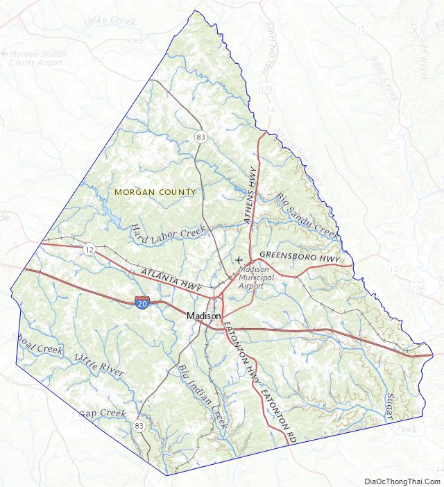
Morgan County Road Map
Geography
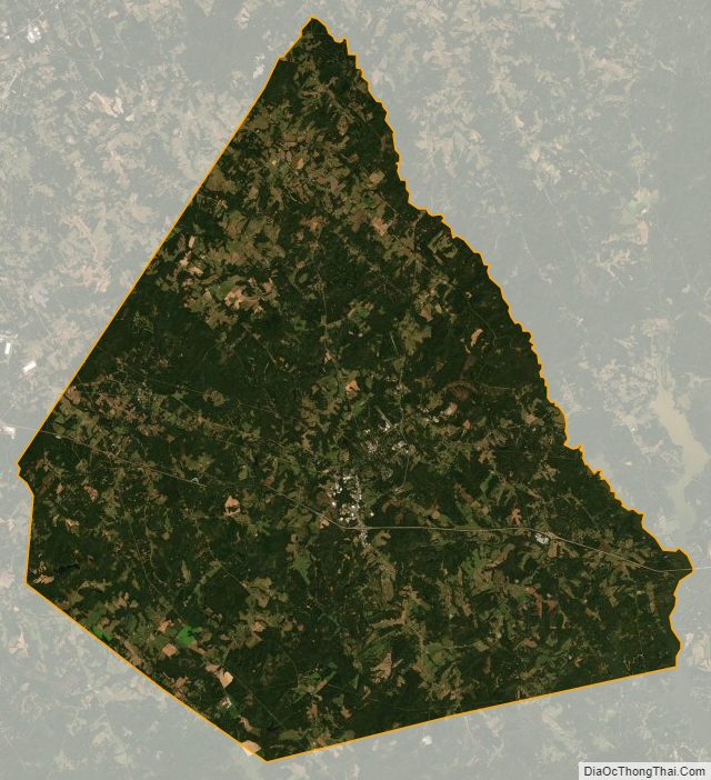
According to the U.S. Census Bureau, the county has a total area of 355 square miles (920 km), of which 347 square miles (900 km) is land and 7.3 square miles (19 km) (2.1%) is water. The entirety of Morgan County is located in the Upper Oconee River sub-basin of the Altamaha River basin.
Major highways
- Interstate 20
- U.S. Route 129
U.S. Route 129 Bypass- U.S. Route 278
U.S. Route 278 Truck- U.S. Route 441
U.S. Route 441 Bypass- State Route 12
State Route 12 Truck- State Route 24
- State Route 24 Bypass
- State Route 83
- State Route 186
- State Route 402 (unsigned designation for I-20)
Adjacent counties
- Oconee County (north)
- Greene County (east)
- Putnam County (southeast)
- Jasper County (southwest)
- Newton County (west)
- Walton County (northwest)
National protected area
- Oconee National Forest (part)
Morgan County Topographic Map
Morgan County Satellite Map
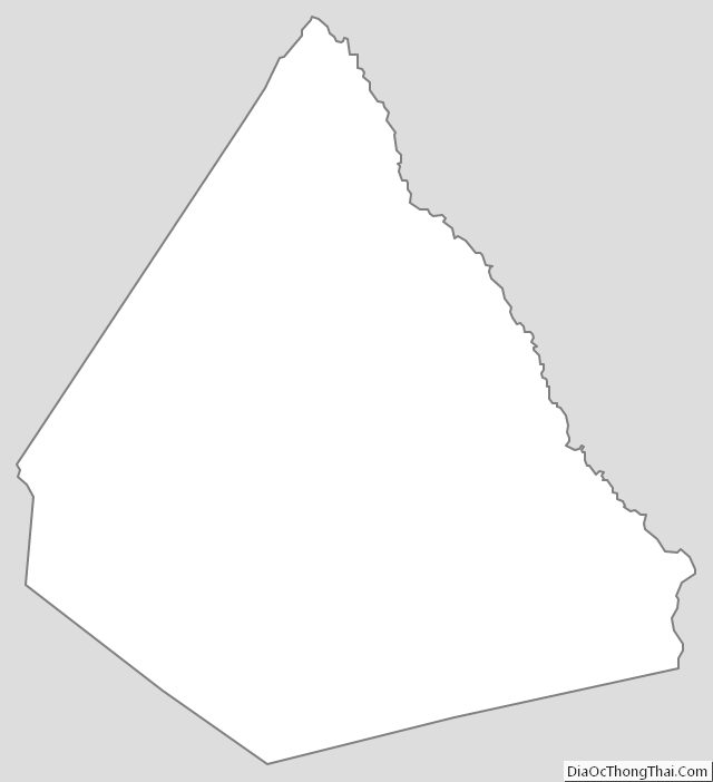
Morgan County Outline Map