Jasper County is a county located in the central portion of the U.S. state of Georgia. As of the 2020 census, the population was 14,588, up from 13,900 in 2010. The county seat is Monticello. Jasper County is part of the Atlanta-Sandy Springs-Roswell, GA Metropolitan Statistical Area.
| Name: | Jasper County |
|---|---|
| FIPS code: | 13-159 |
| State: | Georgia |
| Founded: | 1807 |
| Named for: | William Jasper |
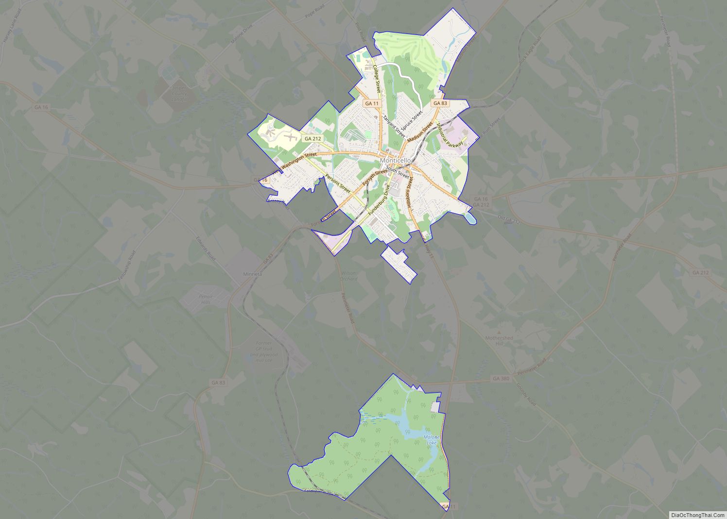
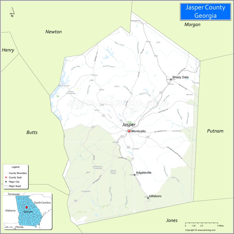
| Seat: | Monticello |
| Largest city: | Monticello |
| Total Area: | 373 sq mi (970 km²) |
| Land Area: | 368 sq mi (950 km²) |
| Total Population: | 14,588 |
| Time zone: | UTC−5 (Eastern) |
| Summer Time Zone (DST): | UTC−4 (EDT) |
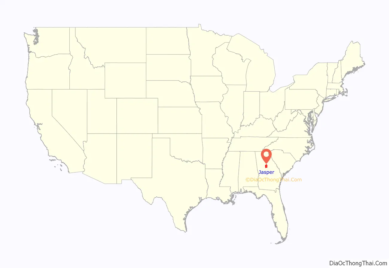
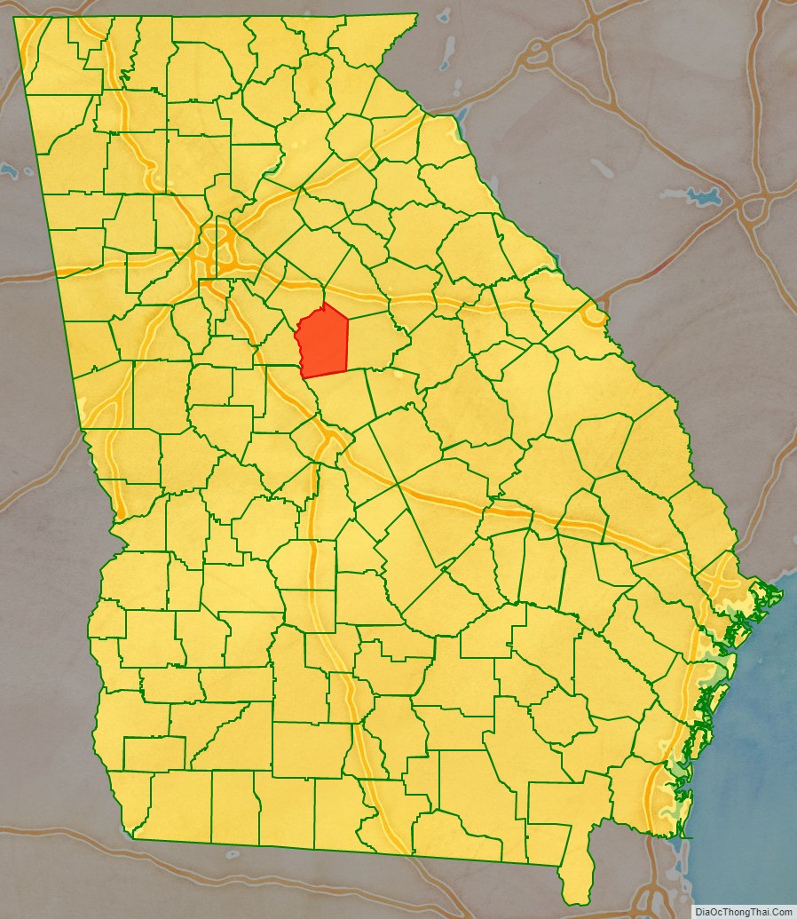
Jasper County location map. Where is Jasper County?
History
This area was inhabited by indigenous peoples for thousands of years before the arrival of Europeans. At the time of European-American settlement, it was inhabited by the Cherokee and Muscogee Creek peoples, who became known as among the Five Civilized Tribes of the Southeast.
The county was created on December 10, 1807, by an act of the Georgia General Assembly with land that was originally part of Baldwin County, Georgia. It became part of the new area of upland settlement through the South eventually known as the Black Belt, and a center of large plantations for short-staple cotton. Invention of the cotton gin in the late 18th century had made processing of this type of cotton profitable, and it was cultivated throughout the inland areas. As migration continued to the west, the county population rapidly rose and fell through the nineteenth century. Georgia settlers pushed Congress for the Indian Removal Act of 1830, which eventually forced most of the Native Americans west of the Mississippi River.
Jasper County was originally named Randolph County (after the Virginian John Randolph). Because of Randolph’s opposition to U.S. entry into the War of 1812, the General Assembly changed the name of Randolph County to Jasper County on December 10, 1812, to honor Sergeant William Jasper, an American Revolutionary War hero from South Carolina. However, Randolph’s reputation eventually was restored, and in 1828, the General Assembly created a new Randolph County.
Newton County was created from a part of the original Jasper County in 1821.
The Jasper County, Georgia courthouse was shown and used for filming the courthouse scenes in the motion picture comedy “My Cousin Vinny”, starring Joe Pesci. Although the setting of the movie is in Beechum County, Alabama (a fictitious place), near the end of the movie, Sheriff Farley (played by veteran actor Bruce McGill), actually mentions Jasper County, Georgia by name.
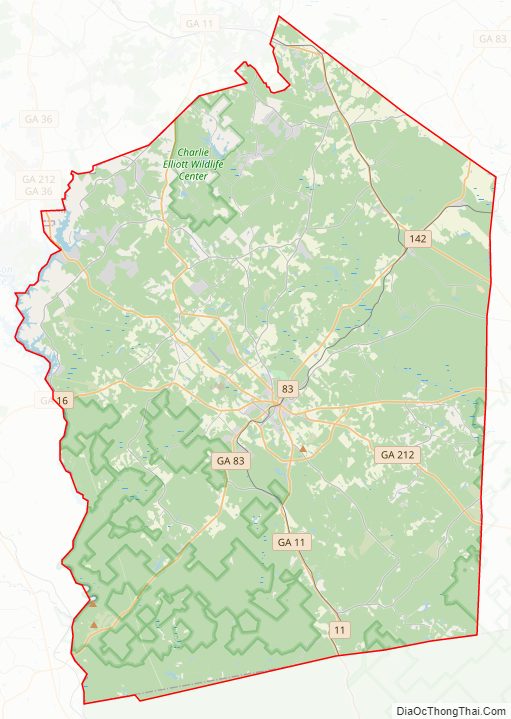
Jasper County Road Map
Geography
According to the U.S. Census Bureau, the county has a total area of 373 square miles (970 km), of which 368 square miles (950 km) is land and 5.3 square miles (14 km) (1.4%) is water.
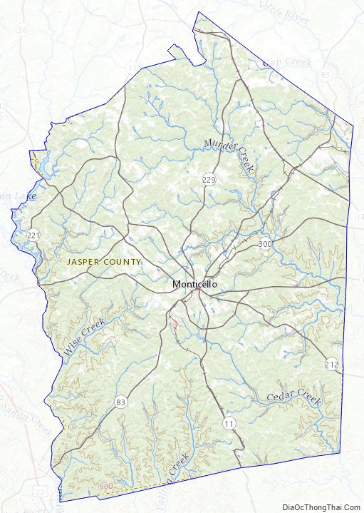
The western portion of Jasper County, west of a line formed by State Route 11 to northwest of Monticello, then along the eastern border of the Piedmont National Wildlife Refuge, is located in the Upper Ocmulgee River sub-basin of the Altamaha River basin. The eastern portion of the county is located in the Upper Oconee River sub-basin of the same Altamaha River basin.
Major highways
- State Route 11
- State Route 16
- State Route 83
- State Route 142
- State Route 212
- State Route 380
Adjacent counties
- Morgan County – northeast
- Putnam County – east
- Jones County – south
- Monroe County – southwest
- Butts County – west
- Newton County – northwest
National protected areas
- Oconee National Forest (part)
- Piedmont National Wildlife Refuge (part)
Jasper County Topographic Map
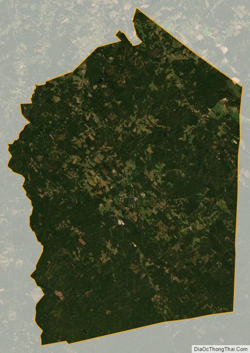
Jasper County Satellite Map
Jasper County Outline Map