Bayfield County is the northernmost county in the U.S. state of Wisconsin. As of the 2020 census, its population is 16,220. Its county seat is Washburn. The county was created in 1845 and organized in 1850. The Red Cliff Band of Lake Superior Chippewa has a reservation in Bayfield County and is the county’s largest employer.
| Name: | Bayfield County |
|---|---|
| FIPS code: | 55-007 |
| State: | Wisconsin |
| Founded: | 1845 |
| Named for: | Henry Bayfield |
| Seat: | Washburn |
| Largest city: | Washburn |
| Total Area: | 2,042 sq mi (5,290 km²) |
| Land Area: | 1,478 sq mi (3,830 km²) |
| Total Population: | 16,220 |
| Population Density: | 7.9/sq mi (3.1/km²) |
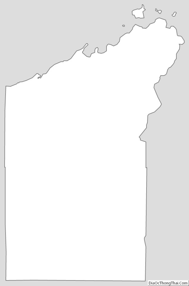
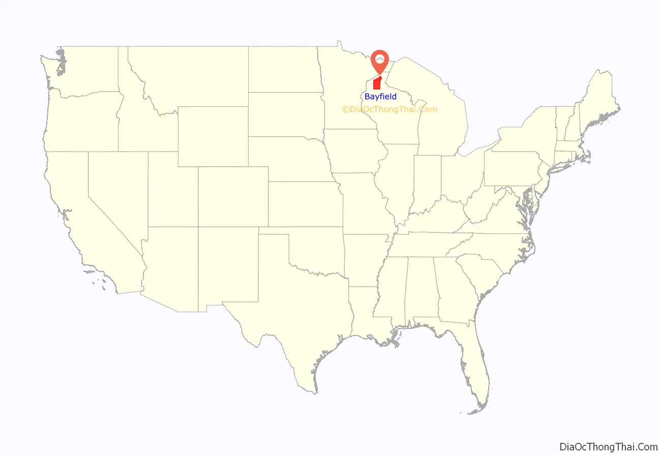
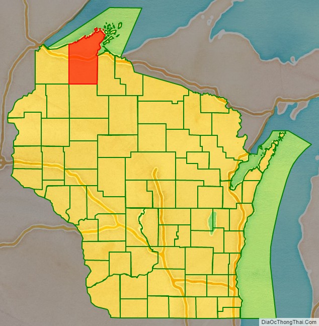
Bayfield County location map. Where is Bayfield County?
History
Originally, in 1848 it was named La Pointe County, Wisconsin. After Douglas (1854) and Ashland (1860) Counties were split off from the original La Pointe County, the remainder was renamed Bayfield County on April 12, 1866.
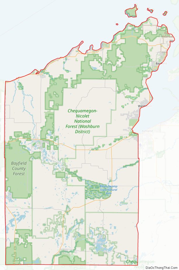
Bayfield County Road Map
Geography
According to the U.S. Census Bureau, the county has a total area of 2,042 square miles (5,290 km), of which 1,478 square miles (3,830 km) is land and 564 square miles (1,460 km) (28%) is water. It is the third-largest county in Wisconsin by total area and second-largest by land area.
Adjacent counties
- Ashland County – east
- Sawyer County – south
- Washburn County – southwest
- Douglas County – west
- Lake County, Minnesota – north
Major highways
Buses
- Bay Area Rural Transit
- Indian Trails
- List of intercity bus stops in Wisconsin
Airport
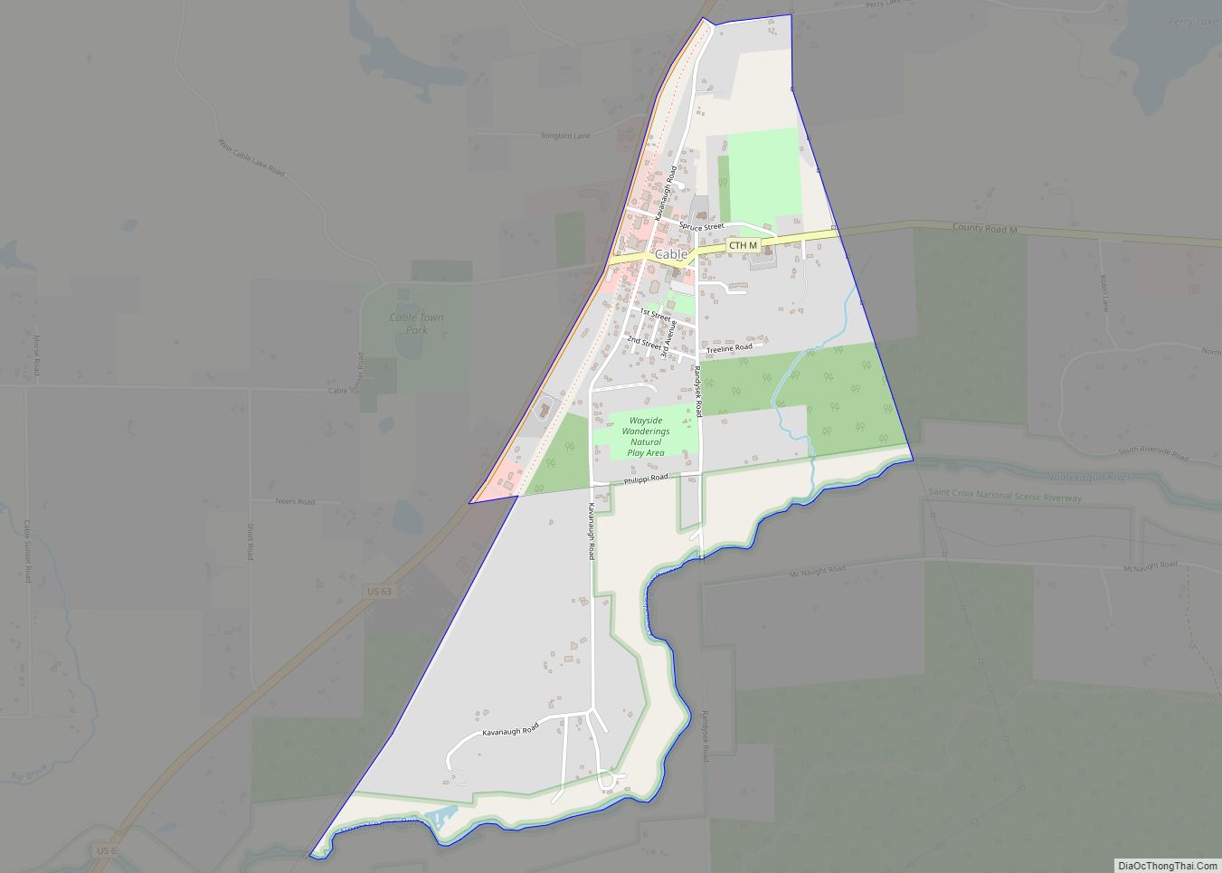
Cable Union Airport (FAA LID: 3CU) serves Bayfield County and the surrounding communities.
National protected areas
- Apostle Islands National Lakeshore (part)
- Chequamegon National Forest (part)
- Whittlesey Creek National Wildlife Refuge
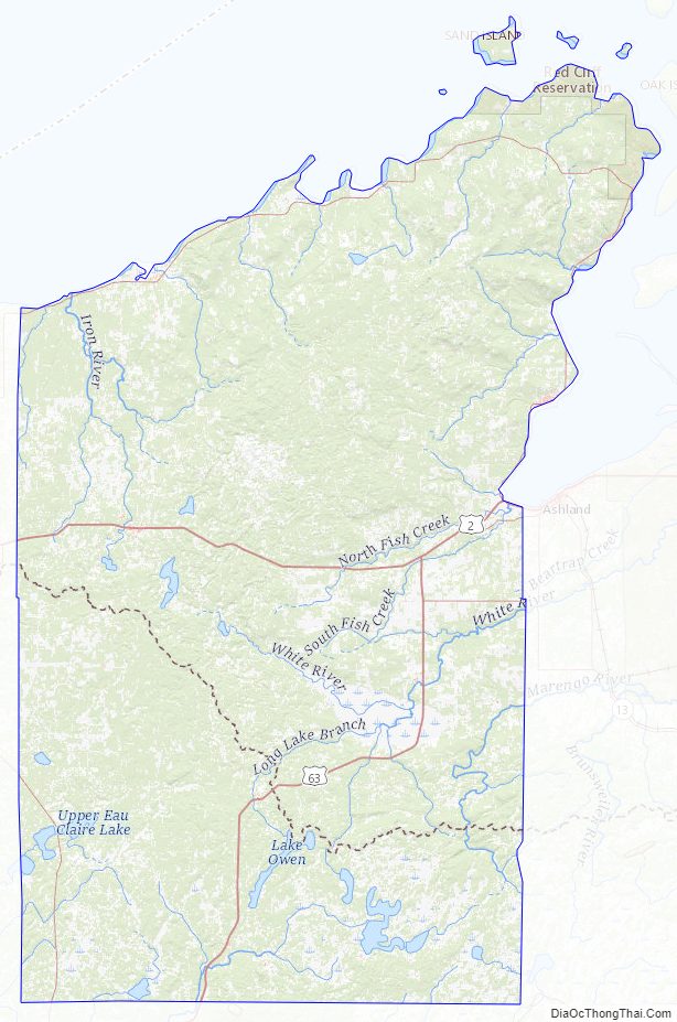
Bayfield County Topographic Map
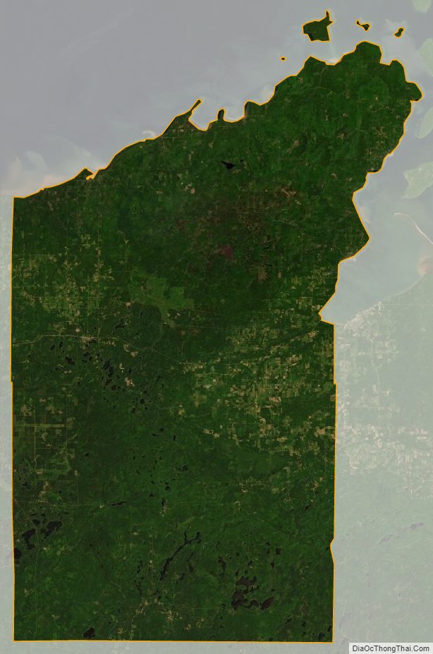
Bayfield County Satellite Map
Bayfield County Outline Map