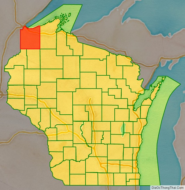
Douglas County is a county located at the northwest corner of the U.S. state of Wisconsin. As of the 2020 census, the population was 44,295 Its county seat is Superior. Douglas County is included in the Duluth, MN-WI Metropolitan Statistical Area.
| Name: | Douglas County |
|---|---|
| FIPS code: | 55-031 |
| State: | Wisconsin |
| Founded: | February 8, 1854 |
| Named for: | Stephen A. Douglas |
| Seat: | Superior |
| Largest city: | Superior |
| Total Area: | 1,480 sq mi (3,800 km²) |
| Land Area: | 1,304 sq mi (3,380 km²) |
| Total Population: | 44,295 |
| Population Density: | 30/sq mi (12/km²) |
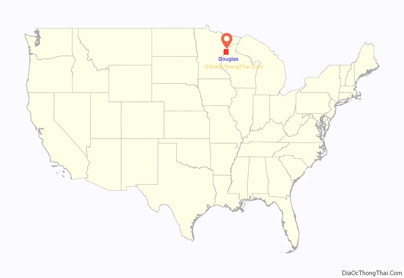
Douglas County location map. Where is Douglas County?
History
Douglas County, named after Illinois Senator Stephen A. Douglas, was established on February 8, 1854, from the larger La Pointe County, Wisconsin, and the City of Superior was immediately selected as the county seat.
In Wisconsin’s 1952 U.S. Senate primary, Douglas County was one of two counties (out of 71 in the state at the time) that Sen. Joe McCarthy did not carry.
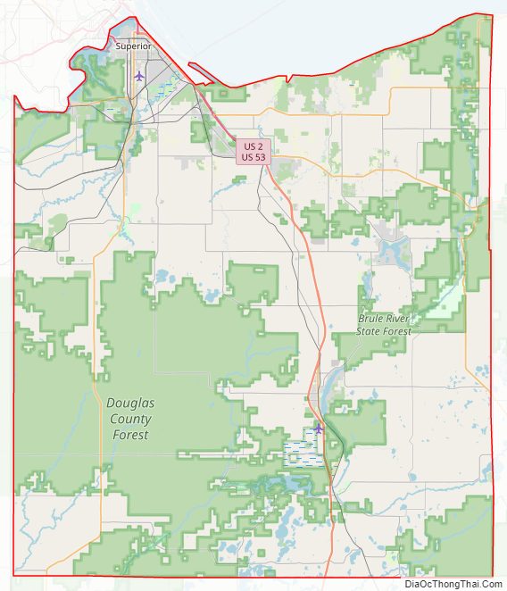
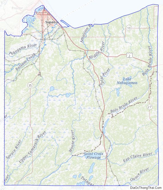
Douglas County Road Map
Geography
According to the U.S. Census Bureau, the county has a total area of 1,480 square miles (3,800 km), of which 1,304 square miles (3,380 km) is land and 176 square miles (460 km) (12%) is water.
A portion of the Fond du Lac Indian Reservation is located within Douglas County.
Adjacent counties
- Bayfield County – east
- Sawyer County – southeast
- Washburn County – south
- Burnett County – southwest
- Pine County, Minnesota – southwest
- Carlton County, Minnesota – west
- Saint Louis County, Minnesota – northwest
- Lake County, Minnesota – northeast
Major highways
Railroads
- BNSF
- Canadian National
- Canadian Pacific
- Union Pacific
Buses
- Duluth Transit Authority
- List of intercity bus stops in Wisconsin
Airports
- Solon Springs Municipal Airport (KOLG) serves the county and surrounding communities.
- Richard I. Bong Airport (KSUW)
National protected area
- Saint Croix National Scenic Riverway (part)
Douglas County Topographic Map
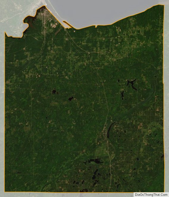
Douglas County Satellite Map
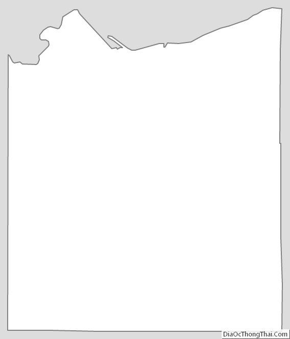
Douglas County Outline Map