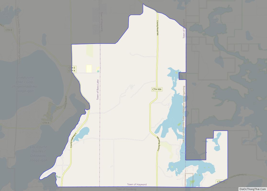
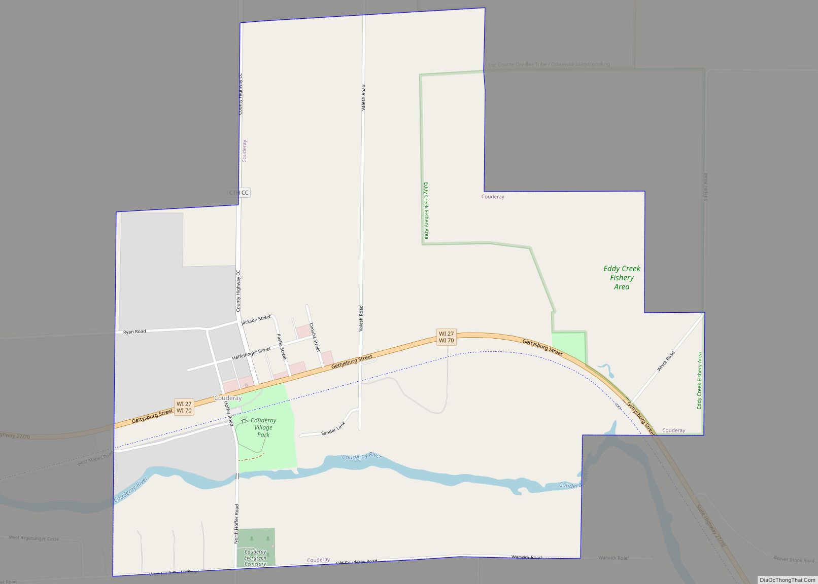
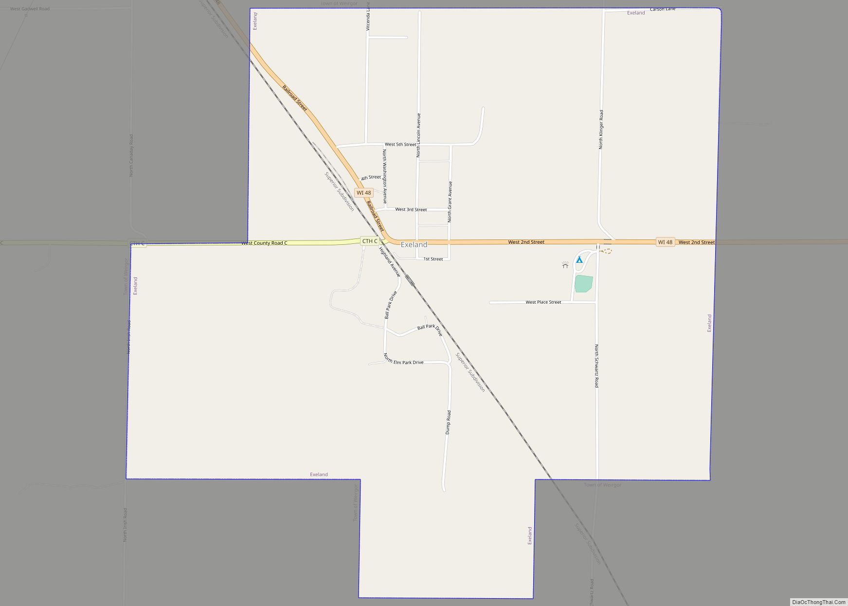
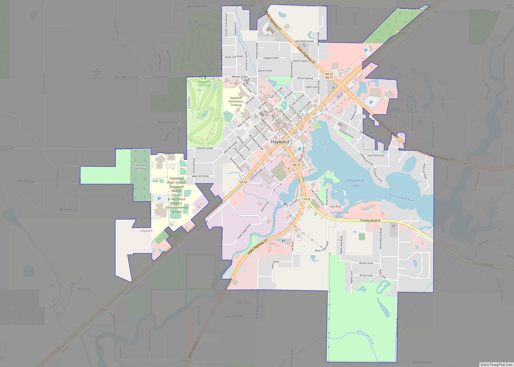
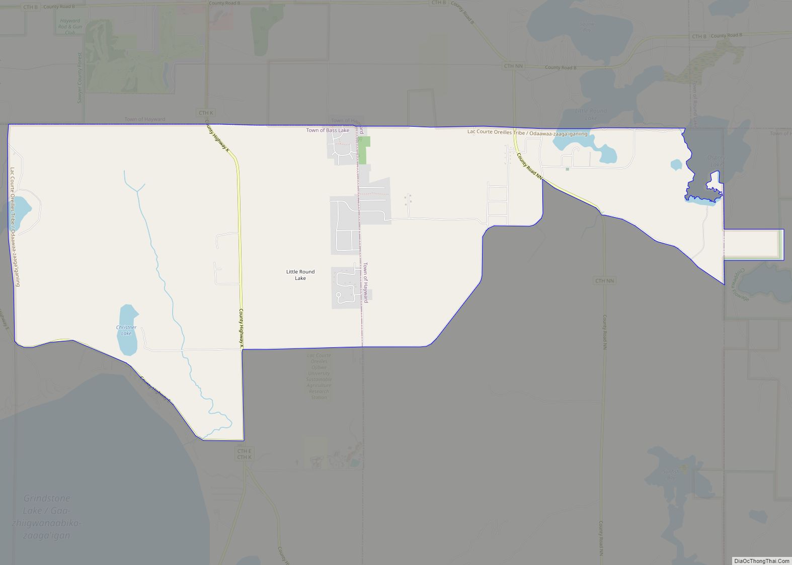
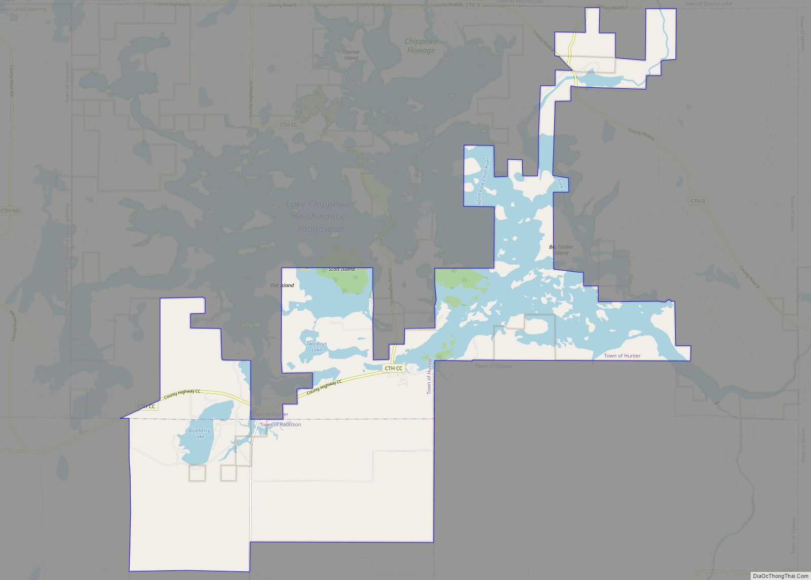
Sawyer County is a county in the U.S. state of Wisconsin. As of the 2020 census, the population was 18,074. Its county seat is Hayward. The county partly overlaps with the reservation of the Lac Courte Oreilles Band of Lake Superior Chippewa Indians.
| Name: | Sawyer County |
|---|---|
| FIPS code: | 55-113 |
| State: | Wisconsin |
| Founded: | 1885 |
| Named for: | Philetus Sawyer |
| Seat: | Hayward |
| Largest city: | Hayward |
| Total Area: | 1,350 sq mi (3,500 km²) |
| Land Area: | 1,257 sq mi (3,260 km²) |
| Total Population: | 18,074 |
| Population Density: | 14.4/sq mi (5.6/km²) |
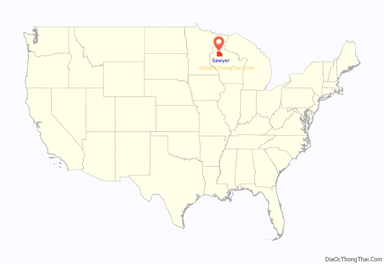
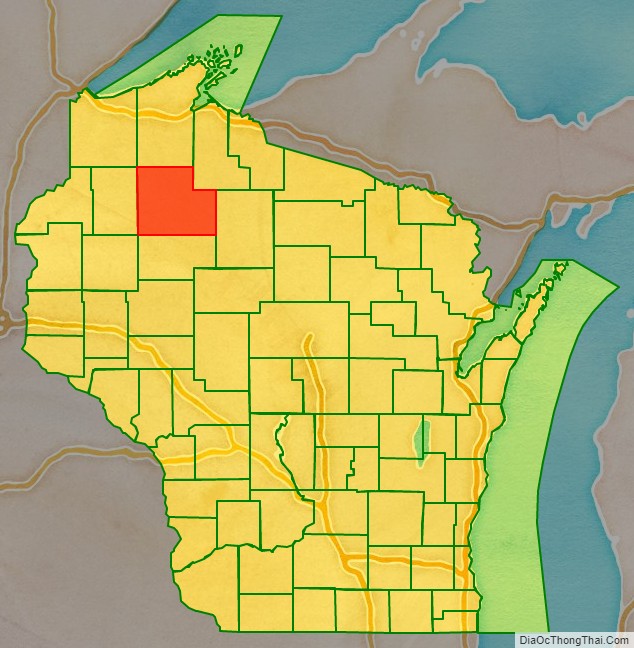
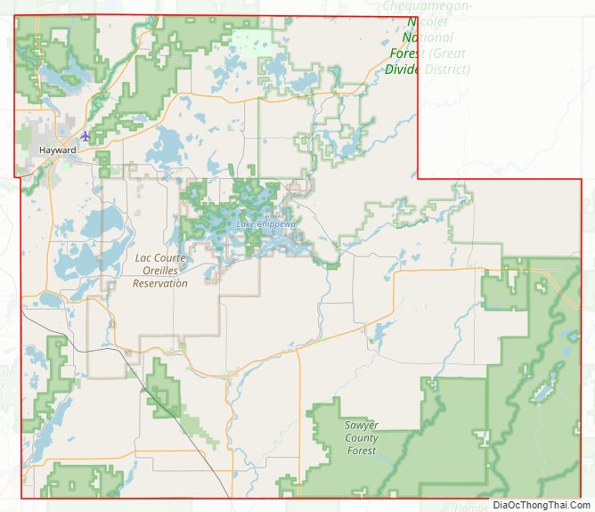
Sawyer County location map. Where is Sawyer County?
History
The area that is now Sawyer County was contested between the Dakota and Ojibwe people in the eighteenth century. Oral histories tell that the Ojibwes defeated the Dakotas locally in the Battle of the Horse Fly on the Upper Chippewa River in the 1790s. By this time Lac Courte Oreilles had become the site of an Ojibwe village. Ojibwes allowed trader Michel Cadotte to build a fur trade outpost in the area in 1800. The United States acquired the region from the Ojibwe nation in the 1837 Treaty of St. Peters, but the Ojibwes retained the right to hunt and fish on treaty territory. Ojibwe people successfully negotiated to establish the permanent Lac Courte Oreilles Indian Reservation in the 1854 Treaty of La Pointe.
The county is named for Philetus Sawyer, a New England man who represented Wisconsin in the U.S. House of Representatives and U.S. Senate in the 19th century. Logging began in the late 1850s. Loggers came from Cortland County, New York, Carroll County, New Hampshire, Orange County, Vermont and Down East Maine in what is now Washington County, Maine and Hancock County, Maine. These were “Yankee” migrants, that is to say they were descended from the English Puritans who had settled New England during the 1600s. They were mostly members of the Congregational Church. Sawyer County was created in 1883 and organized in 1885. In the 1890s immigrants came from a variety of countries such as Germany, Norway, Poland, Ireland and Sweden.
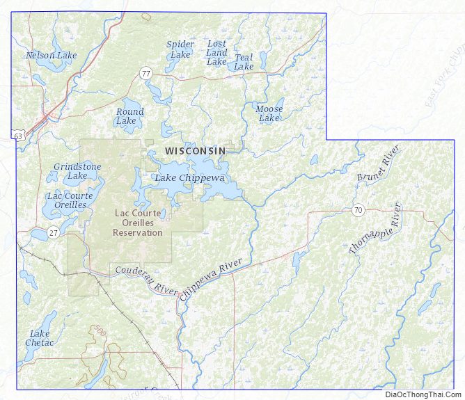
Sawyer County Road Map
Geography
According to the U.S. Census Bureau, the county has a total area of 1,350 square miles (3,500 km), of which 1,257 square miles (3,260 km) is land and 93 square miles (240 km) (6.9%) is water. It is the fifth-largest county in Wisconsin by land area.
Major highways
- U.S. Highway 63
- Highway 27 (Wisconsin)
- Highway 40 (Wisconsin)
- Highway 48 (Wisconsin)
- Highway 70 (Wisconsin)
- Highway 77 (Wisconsin)
- Sawyer County Highway B is the busiest rural roadway on average in all of Sawyer County with a high count of 5900 vehicles daily, according to the Wisconsin Department of Transportation’s average daily traffic maps for 2008. https://web.archive.org/web/20100602030241/http://www.dot.wisconsin.gov/travel/counts/docs/sawyer/sawyer2008.pdf
Railroads
- Canadian National
- Wisconsin Great Northern Railroad
Buses
- List of intercity bus stops in Wisconsin
Airport
Sawyer County Airport (KHYR) serves the county and surrounding communities.
Adjacent counties
- Bayfield County – north
- Ashland County – northeast
- Price County – east
- Rusk County – south
- Barron County – southwest
- Washburn County – west
- Douglas County – northwest
National protected areas
- Chequamegon National Forest (part)
- Saint Croix National Scenic Riverway (part)
Sawyer County Topographic Map
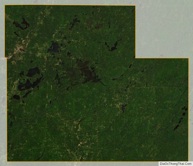
Sawyer County Satellite Map
Sawyer County Outline Map