Washburn is a city in Bayfield County, in the U.S. state of Wisconsin. The population was 2,051 at the 2020 census. The city is just east of and adjacent to the Town of Washburn. It is in northern Wisconsin, on the shore of Lake Superior’s Chequamegon Bay.
Wisconsin Highway 13 and County Highway C are the main routes in the community.
| Name: | Washburn city |
|---|---|
| LSAD Code: | 25 |
| LSAD Description: | city (suffix) |
| State: | Wisconsin |
| County: | Bayfield County |
| Elevation: | 692 ft (211 m) |
| Total Area: | 3.92 sq mi (10.14 km²) |
| Land Area: | 3.91 sq mi (10.13 km²) |
| Water Area: | 0.00 sq mi (0.01 km²) |
| Total Population: | 2,051 |
| Population Density: | 524.2/sq mi (202.4/km²) |
| ZIP code: | 54891 |
| Area code: | 715 & 534 |
| FIPS code: | 5583525 |
| GNISfeature ID: | 1576230 |
| Website: | www.cityofwashburn.org |
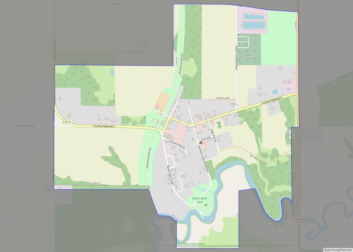
Online Interactive Map
Click on ![]() to view map in "full screen" mode.
to view map in "full screen" mode.
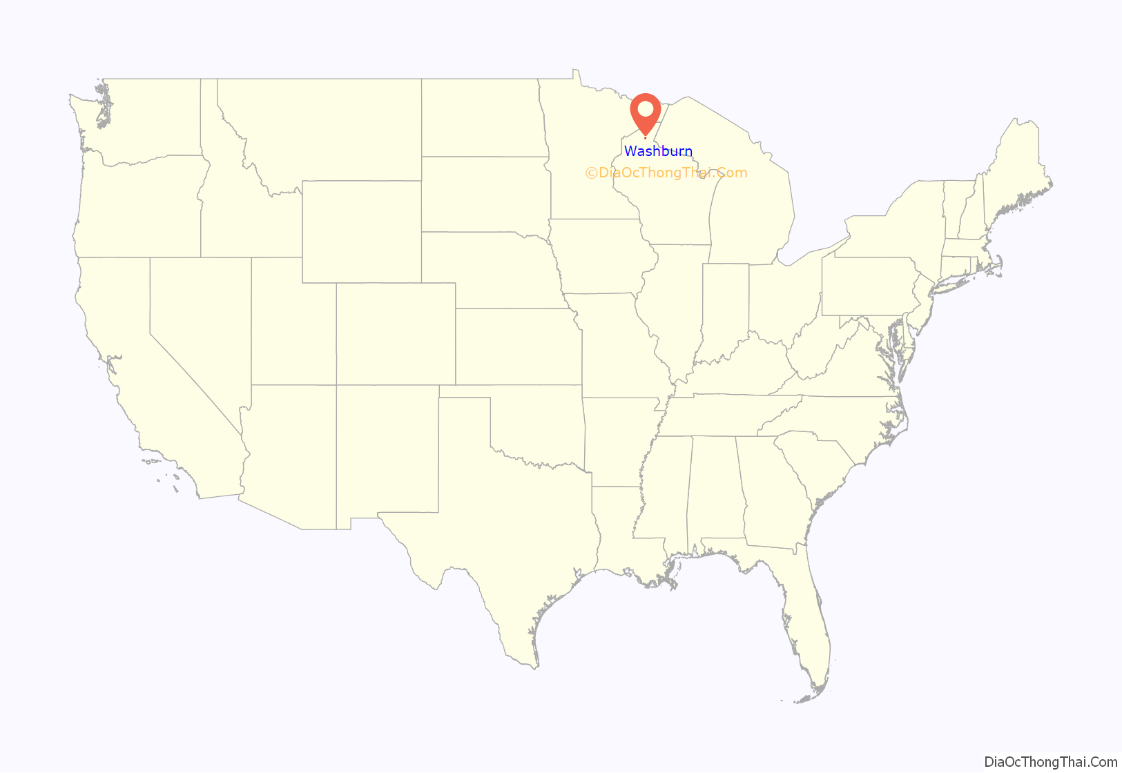
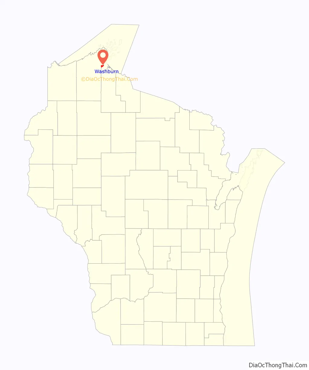
Washburn location map. Where is Washburn city?
History
In 1659, the French explorers Radisson and Groseilliers touched here on their trip along the south shore of Lake Superior. In 1665 the Jesuit Claude-Jean Allouez established on the shore of the bay, a short distance south of the present city, the first French mission in Wisconsin. He named it “La Pointe du Saint Esprit,” and in 1669 it was placed in charge of Father Jacques Marquette. The place was visited by Daniel Greysolon (Du Luth) in 1681–1682, and here in 1693 Pierre-Charles Le Sueur built a stockaded post. In 1718 a fort was erected and a French garrison placed in it. About 1820–1821 a trading post of the American Fur Company was established in the area.
The city itself was founded in 1883, named for Cadwallader C. Washburn, Republican governor of Wisconsin from 1872 until 1874. It was chartered in 1904.
Washburn Road Map
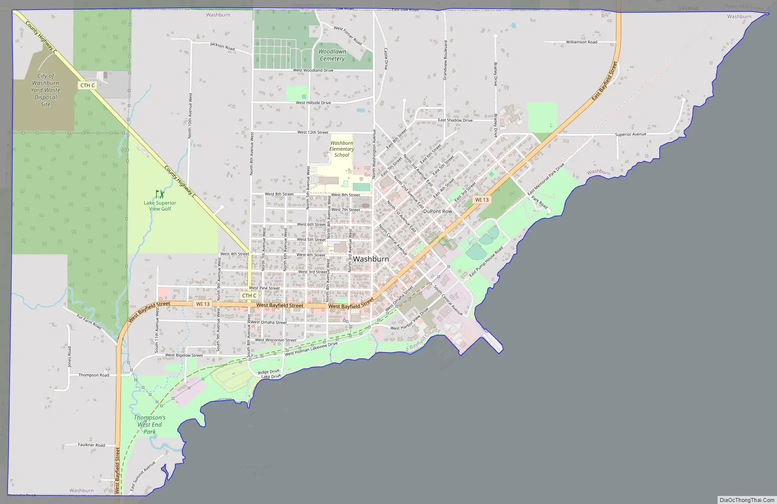
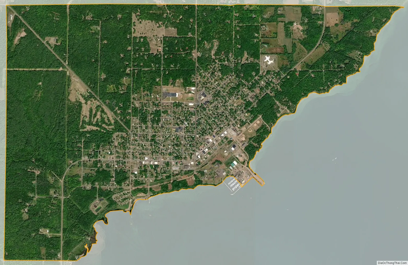
Washburn city Satellite Map
Geography
Washburn is located at 46°40′26″N 90°53′51″W / 46.67389°N 90.89750°W / 46.67389; -90.89750 (46.673989, -90.897674).
According to the United States Census Bureau, the city has a total area of 6.17 square miles (15.98 km), of which, 3.90 square miles (10.10 km) is land and 2.27 square miles (5.88 km) is water.
See also
Map of Wisconsin State and its subdivision:- Adams
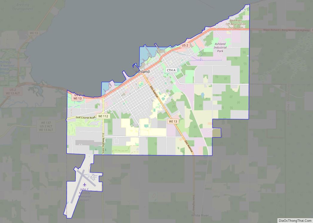
- Ashland
- Barron
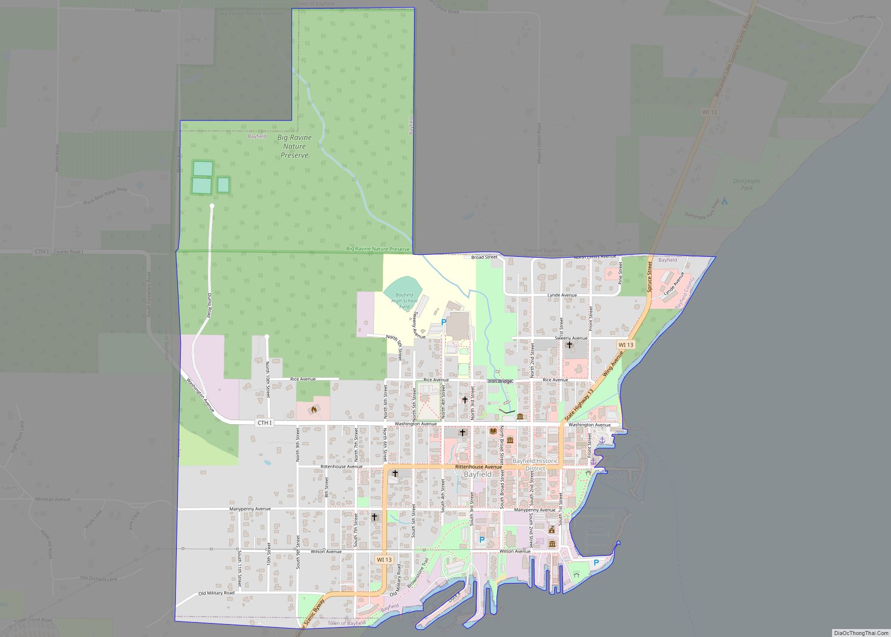
- Bayfield
- Brown
- Buffalo
- Burnett
- Calumet
- Chippewa
- Clark
- Columbia
- Crawford
- Dane
- Dodge
- Door
- Douglas
- Dunn
- Eau Claire
- Florence
- Fond du Lac
- Forest
- Grant
- Green
- Green Lake
- Iowa
- Iron
- Jackson
- Jefferson
- Juneau
- Kenosha
- Kewaunee
- La Crosse
- Lafayette
- Lake Michigan
- Lake Superior
- Langlade
- Lincoln
- Manitowoc
- Marathon
- Marinette
- Marquette
- Menominee
- Milwaukee
- Monroe
- Oconto
- Oneida
- Outagamie
- Ozaukee
- Pepin
- Pierce
- Polk
- Portage
- Price
- Racine
- Richland
- Rock
- Rusk
- Saint Croix
- Sauk
- Sawyer
- Shawano
- Sheboygan
- Taylor
- Trempealeau
- Vernon
- Vilas
- Walworth
- Washburn
- Washington
- Waukesha
- Waupaca
- Waushara
- Winnebago
- Wood
- Alabama
- Alaska
- Arizona
- Arkansas
- California
- Colorado
- Connecticut
- Delaware
- District of Columbia
- Florida
- Georgia
- Hawaii
- Idaho
- Illinois
- Indiana
- Iowa
- Kansas
- Kentucky
- Louisiana
- Maine
- Maryland
- Massachusetts
- Michigan
- Minnesota
- Mississippi
- Missouri
- Montana
- Nebraska
- Nevada
- New Hampshire
- New Jersey
- New Mexico
- New York
- North Carolina
- North Dakota
- Ohio
- Oklahoma
- Oregon
- Pennsylvania
- Rhode Island
- South Carolina
- South Dakota
- Tennessee
- Texas
- Utah
- Vermont
- Virginia
- Washington
- West Virginia
- Wisconsin
- Wyoming