San Patricio County is located in the U.S. state of Texas. As of the 2020 census, its population was 68,755. Its county seat is Sinton. San Patricio County is part of the Corpus Christi metropolitan statistical area.
| Name: | San Patricio County |
|---|---|
| FIPS code: | 48-409 |
| State: | Texas |
| Founded: | 1836 |
| Named for: | Saint Patrick |
| Seat: | Sinton |
| Largest city: | Corpus Christi |
| Total Area: | 708 sq mi (1,830 km²) |
| Land Area: | 693 sq mi (1,790 km²) |
| Total Population: | 68,755 |
| Population Density: | 97/sq mi (37/km²) |
| Time zone: | UTC−6 (Central) |
| Summer Time Zone (DST): | UTC−5 (CDT) |
| Website: | www.co.san-patricio.tx.us |
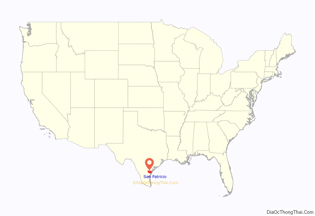
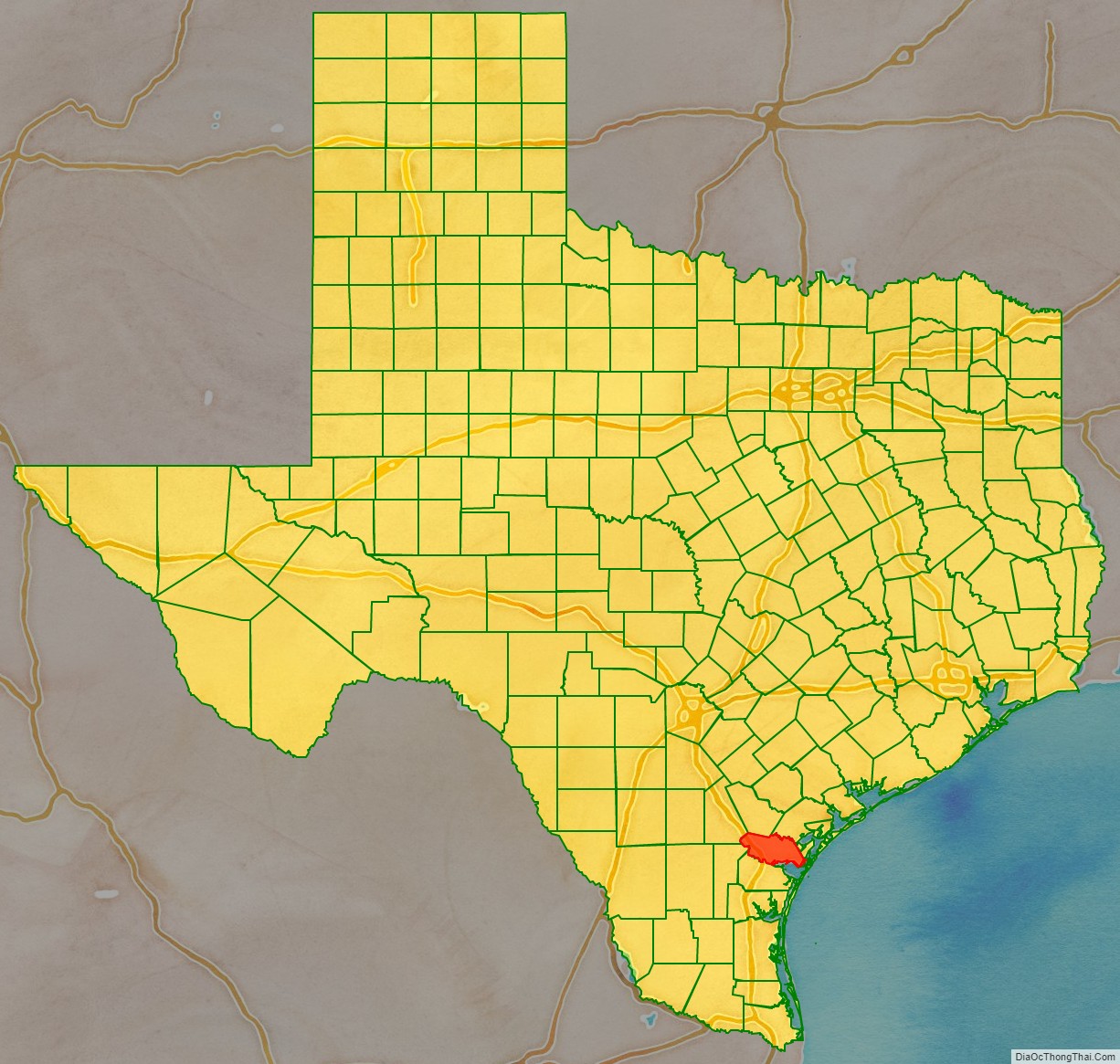
San Patricio County location map. Where is San Patricio County?
History
In 1828, 200 Irish Catholic families, recruited from Ireland and the Irish population of New York City, contracted with the Mexican government to settle on 80 leagues of land in this area. By 1836, about 500 people lived in the colony on 84 Mexican land grants. During the Texas Revolution, most fled from the colony because of fighting in the area. By 1841, a small number of permanent residents had returned. When Texas was annexed by the United States in 1845, the area was stabilized by the presence of U.S. troops under General Zachary Taylor. In 1845, the county was formed (San Patricio is Spanish for Saint Patrick, the primary patron saint of the colonists’ home country of Ireland), and Corpus Christi was designated as the county seat. The following year, the county south of the Nueces River was reorganized as Nueces County, and San Patricio became its county seat. In 1848, additional counties were formed out of San Patricio, which further reduced its size.
The 1850 U.S. Census listed only 200 people in the county, including three slaves. The local economy was based on cattle raising. In the mid-1860s, more settlers moved, drawn by the cheap land. By 1870, 602 people lived in the county, and the agricultural census reported 51 farms and ranches, totaling 52,000 acres (210 km), in the area, with about 2,400 acres (9.7 km) described as “improved”. Development of the county intensified during the early 20th century, as hundreds of farmers moved in from North Texas and other states. The population reached 7,307 by 1910, and was 11,386 by 1920; 470 farms were counted in 1910, and 757 farms in 1920. Cattle ranching remained important, but vegetables and cotton also became important. The acres planted in the cotton increased from about 15,000 acres (61 km) in 1910 to 155,000 acres (630 km) by 1930.
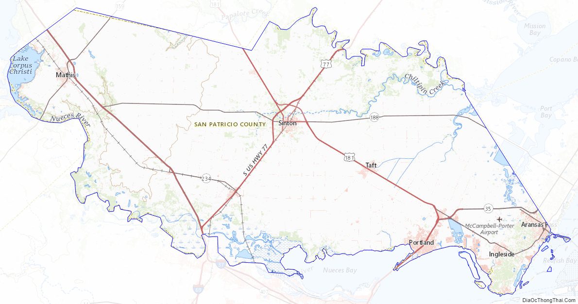
San Patricio County Road Map
Geography
According to the U.S. Census Bureau, the county has a total area of 708 sq mi (1,830 km), of which 693 sq mi (1,790 km) are land and 14 sq mi (36 km) (2.0%) are covered by water.
The Gulf of Mexico forms the eastern border of the county.
Major highways
- Interstate 37
- U.S. Highway 77
- Interstate 69E is currently under construction and will follow the current route of U.S. 77 in most places.
- U.S. Highway 181
- State Highway 35
- State Highway 188
- State Highway 359
- State Highway 361
- Farm to Market Road 136
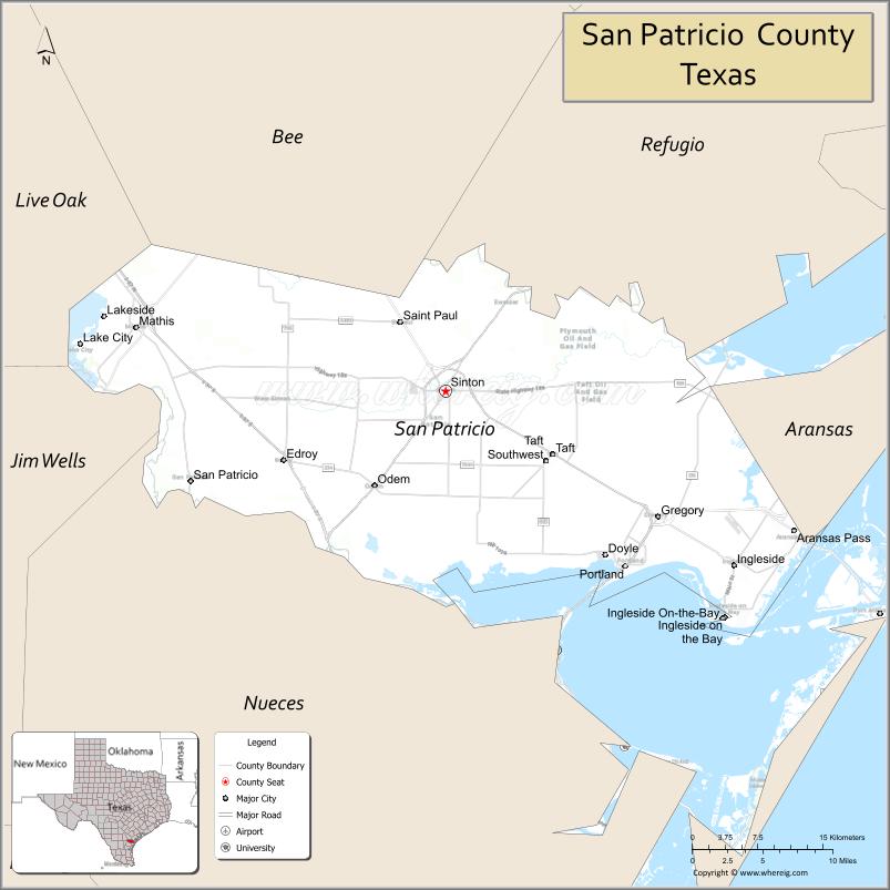
Adjacent counties
- Bee County (north)
- Refugio County (north)
- Aransas County (northeast)
- Nueces County (south)
- Jim Wells County (southwest)
- Live Oak County (northwest)
San Patricio County Topographic Map
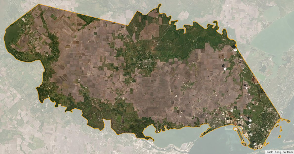
San Patricio County Satellite Map
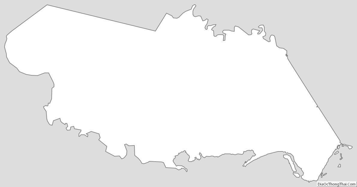
San Patricio County Outline Map