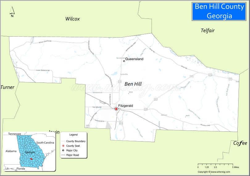
Ben Hill County is a county located in the U.S. state of Georgia. As of the 2020 census, the population was 17,194. The county seat is Fitzgerald. The county was organized in 1906. It is named after Benjamin Harvey Hill, a former Confederate and United States Senator.
Ben Hill County comprises the Fitzgerald, Georgia, Micropolitan Statistical Area. The Ben Hill County Courthouse and Ben Hill County Jail are listed on the National Register of Historic Places.
| Name: | Ben Hill County |
|---|---|
| FIPS code: | 13-017 |
| State: | Georgia |
| Founded: | 1906 |
| Named for: | Benjamin Harvey Hill |
| Seat: | Fitzgerald |
| Largest city: | Fitzgerald |
| Total Area: | 254 sq mi (660 km²) |
| Land Area: | 250 sq mi (600 km²) |
| Total Population: | 17,194 |
| Population Density: | 69/sq mi (27/km²) |
| Time zone: | UTC−5 (Eastern) |
| Summer Time Zone (DST): | UTC−4 (EDT) |
| Website: | www.benhillcounty.com |
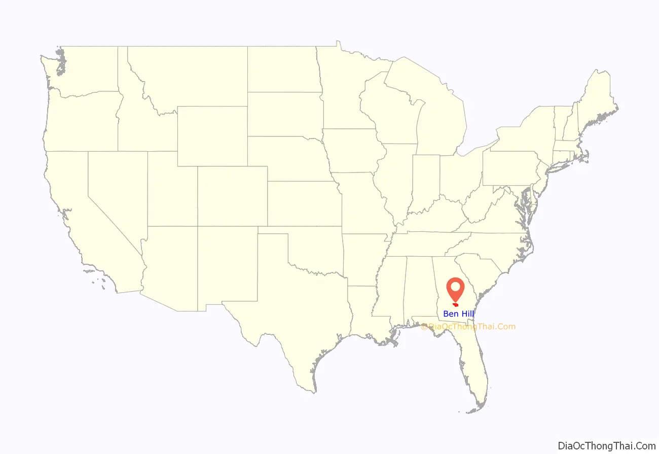
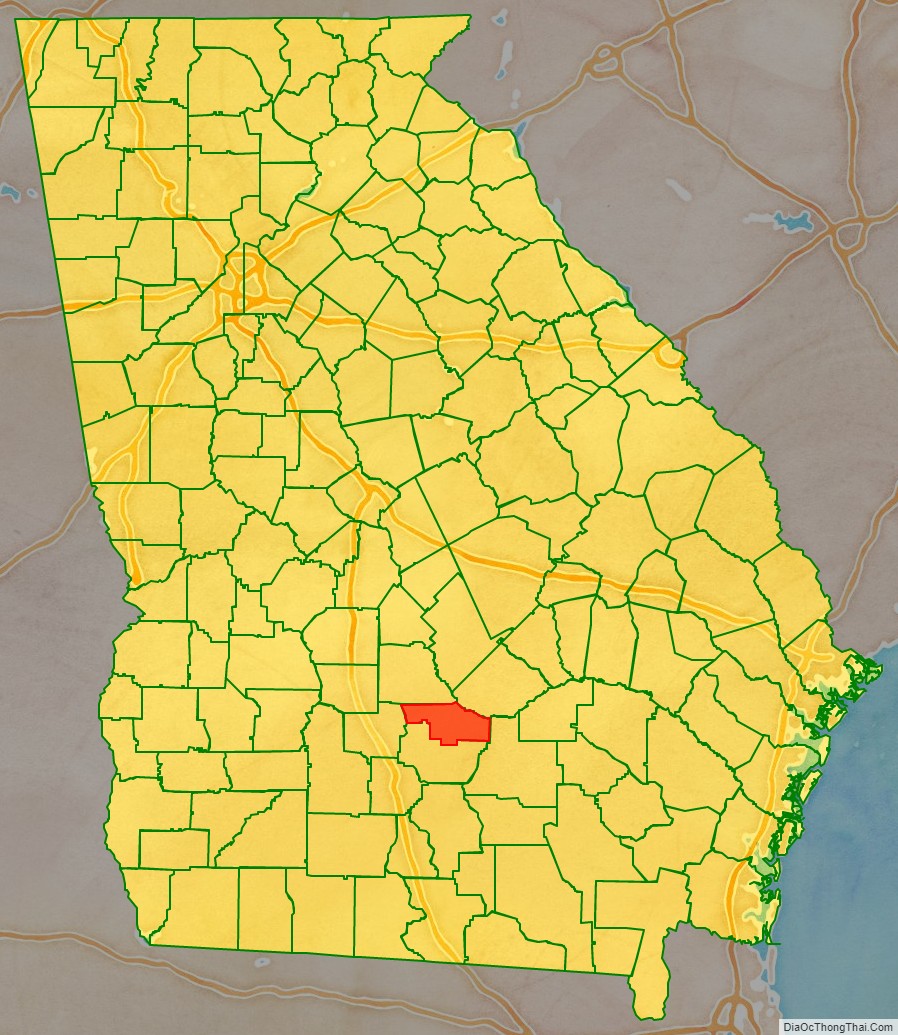
Ben Hill County location map. Where is Ben Hill County?
History
The timber industry became important in the county in the early 20th century. After the market changed, some workers moved on to other locations, including Florida. Development of citrus production in large groves had increased the demand for workers.
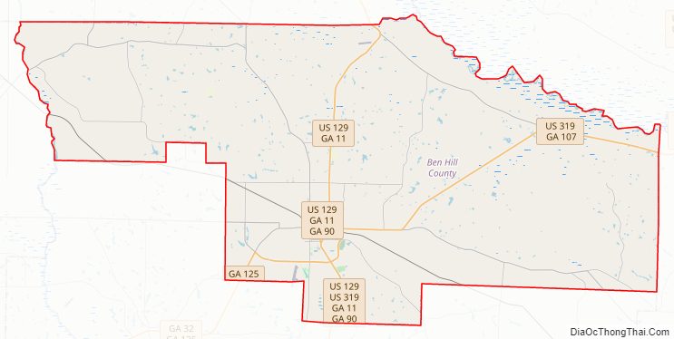
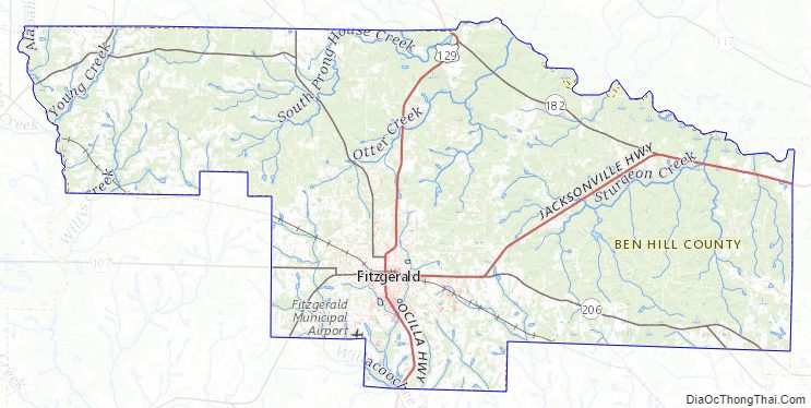
Ben Hill County Road Map
Geography
According to the U.S. Census Bureau, the county has a total area of 254 square miles (660 km), of which 250 square miles (650 km) is land and 3.8 square miles (9.8 km) (1.5%) is water.
The majority of Ben Hill County, its northern and eastern portions, are located in the Lower Ocmulgee River sub-basin of the Altamaha River basin. The northwestern corner of the county, east of Rebecca, is located in the Alapaha River sub-basin of the Suwannee River basin. The southeastern corner of the county, east of Fitzgerald, is located in the Satilla River sub-basin of the St. Marys-Satilla River basin.
Major highways
- U.S. Route 129
- U.S. Route 319
- State Route 11
- State Route 90
- State Route 107
- State Route 125
- State Route 182
- State Route 206
- State Route 215
- State Route 233
Adjacent counties
- Wilcox County – north
- Telfair County – northeast
- Coffee County – east
- Irwin County – south
- Turner County – west
Ben Hill County Topographic Map
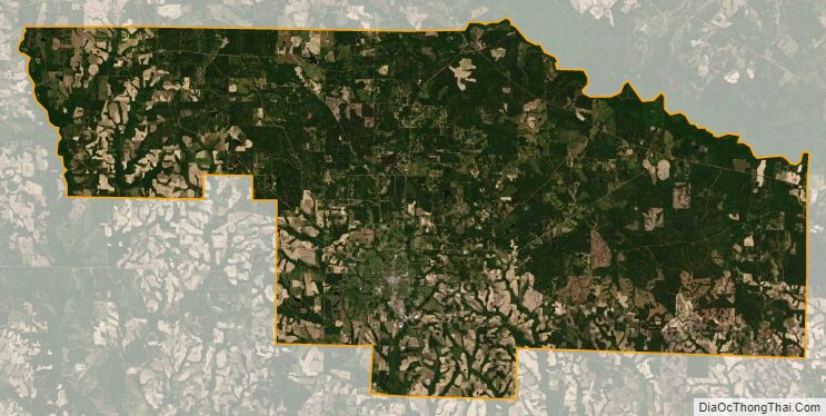
Ben Hill County Satellite Map
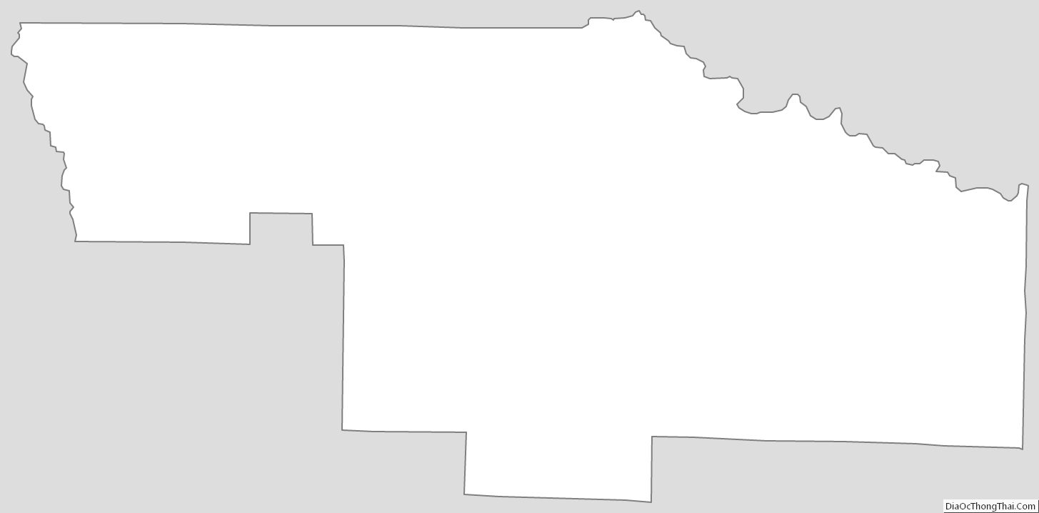
Ben Hill County Outline Map