Wilcox County is a county located in the central portion of the U.S. state of Georgia. As of the 2020 census, the population was 8,766. The county seat is Abbeville.
| Name: | Wilcox County |
|---|---|
| FIPS code: | 13-315 |
| State: | Georgia |
| Founded: | 1857 |
| Named for: | Mark Wilcox |
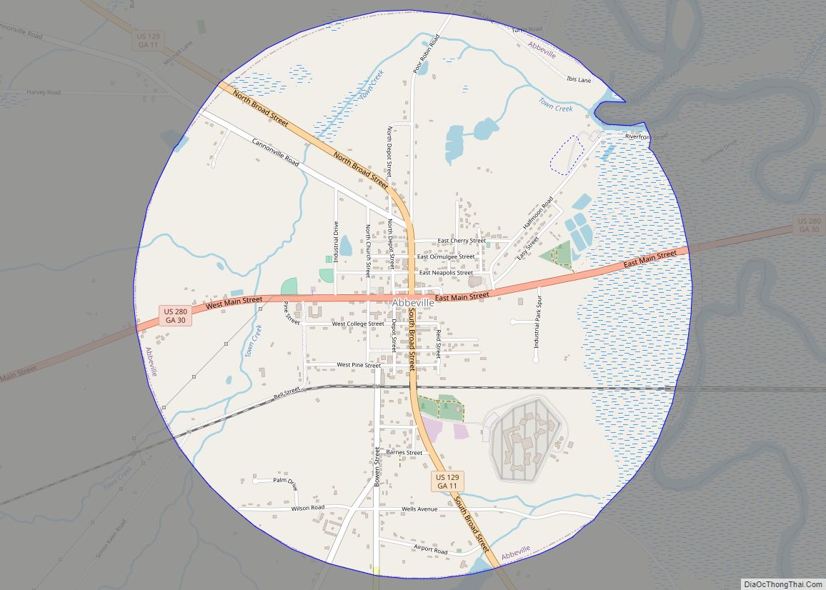
| Seat: | Abbeville |
| Largest city: | Abbeville |
| Total Area: | 382 sq mi (990 km²) |
| Land Area: | 378 sq mi (980 km²) |
| Total Population: | 8,766 |
| Population Density: | 23/sq mi (9/km²) |
| Time zone: | UTC−5 (Eastern) |
| Summer Time Zone (DST): | UTC−4 (EDT) |
| Website: | www.wilcoxcountygeorgia.com |
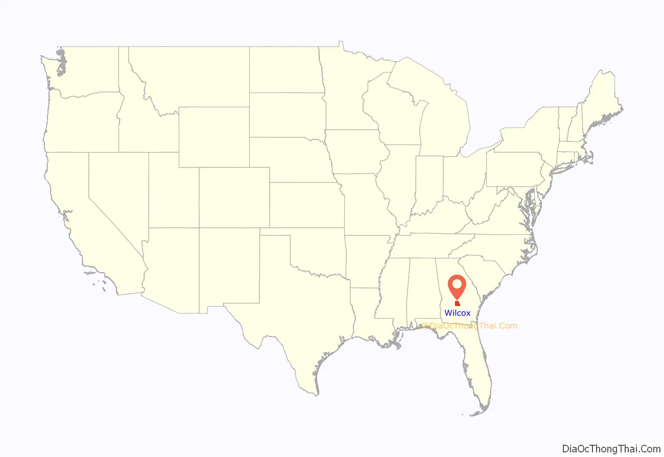
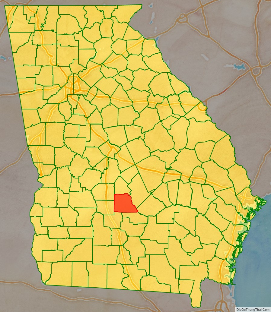
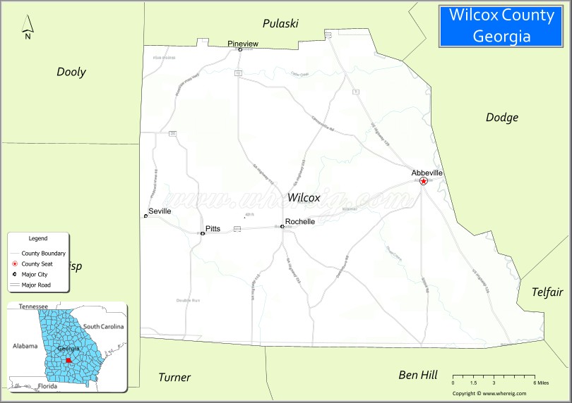
Wilcox County location map. Where is Wilcox County?
History
Wilcox County was formed on December 22, 1857, from parts of Irwin, Pulaski, and Dooly counties. The county was named for General Mark Wilcox, a Georgia state legislator and one of the founders of the Georgia Supreme Court.
The first county courthouse was built in 1858; the present courthouse dates from 1903.
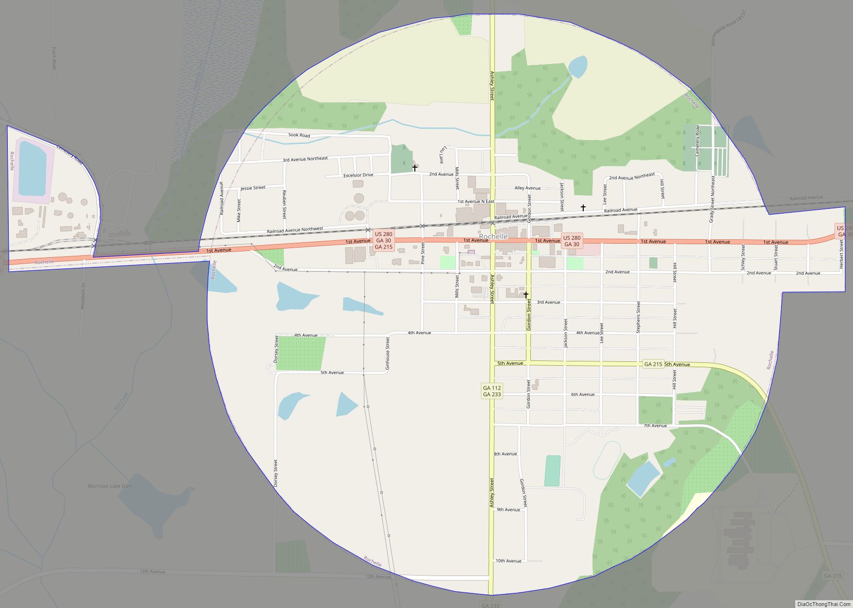
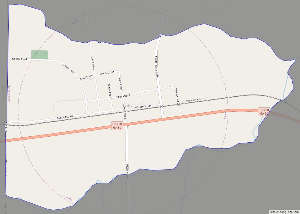
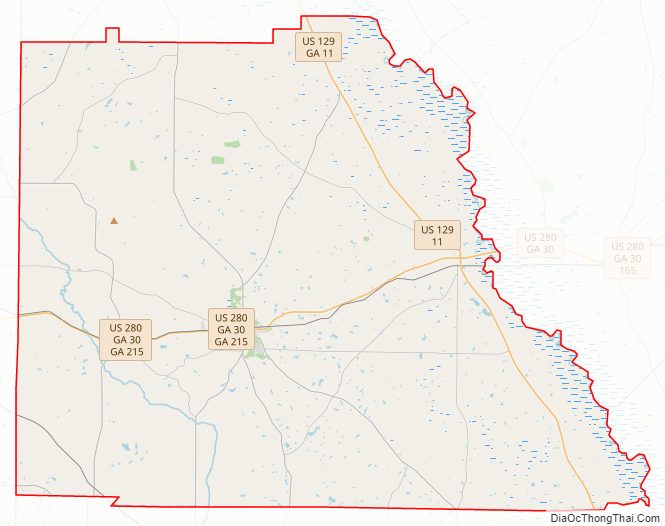
Wilcox County Road Map
Geography
According to the U.S. Census Bureau, the county has a total area of 382 square miles (990 km), of which 378 square miles (980 km) is land and 4.4 square miles (11 km) (1.2%) is water.
The northern and eastern three-quarters of Wilcox County, from State Route 215 southeast to Rochelle, then due south, are located in the Lower Ocmulgee River sub-basin of the Altamaha River basin. The southwestern portion of the county, west of Rochelle, and roughly centered on Pitts, is located in the Alapaha River sub-basin of the Suwannee River basin.
Adjacent counties
- Pulaski County – north
- Dodge County – east
- Telfair County – east
- Ben Hill County – south
- Turner County – southwest
- Crisp County – west
- Dooly County – northwest
Major highways
- U.S. Route 129
- U.S. Route 280
- State Route 11
- State Route 30
- State Route 90
- State Route 112
- State Route 159
- State Route 215
- State Route 233
- State Route 257
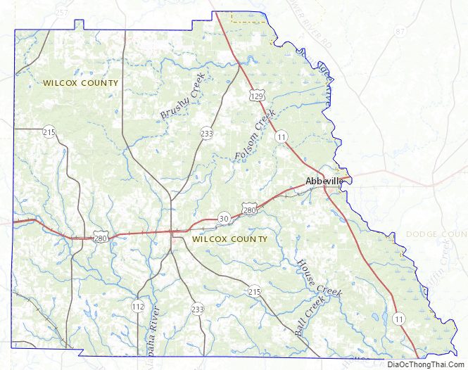
Wilcox County Topographic Map
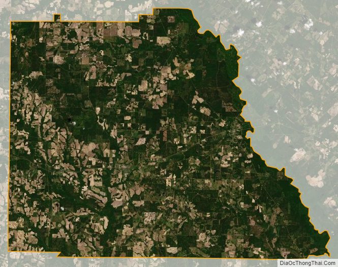
Wilcox County Satellite Map
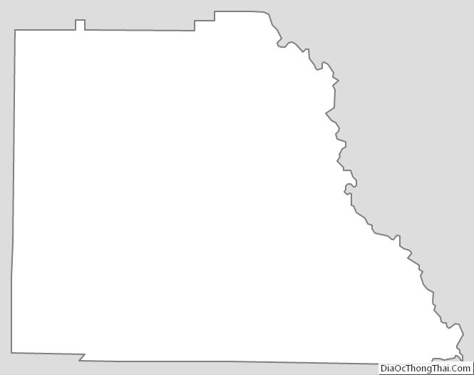
Wilcox County Outline Map