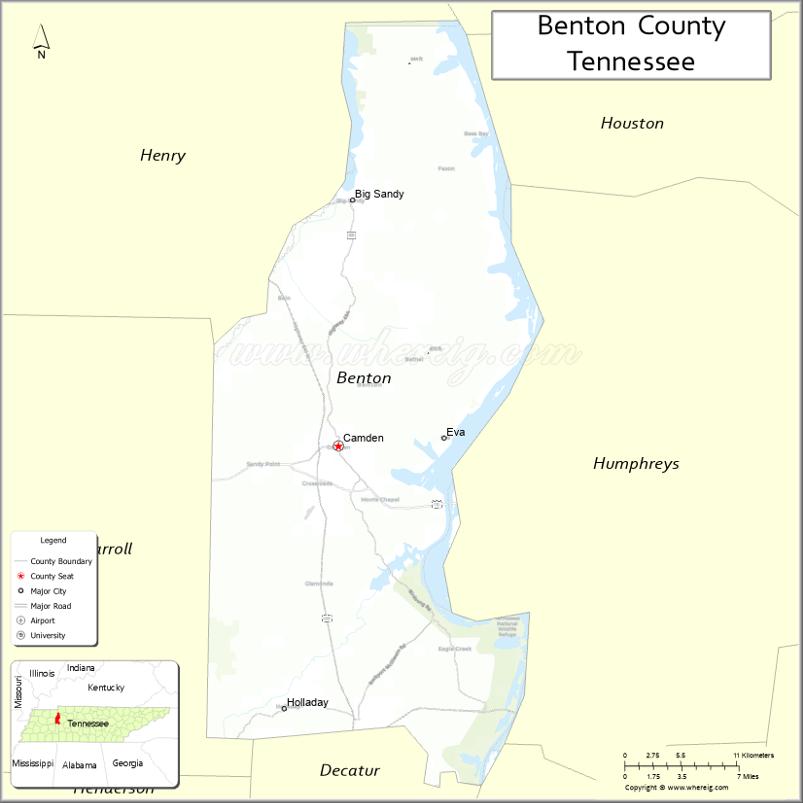
Benton County is a county located in the U.S. state of Tennessee. As of the 2020 census, the population was 15,864. Its county seat is Camden. The county was created in December 1835 and organized in 1836.
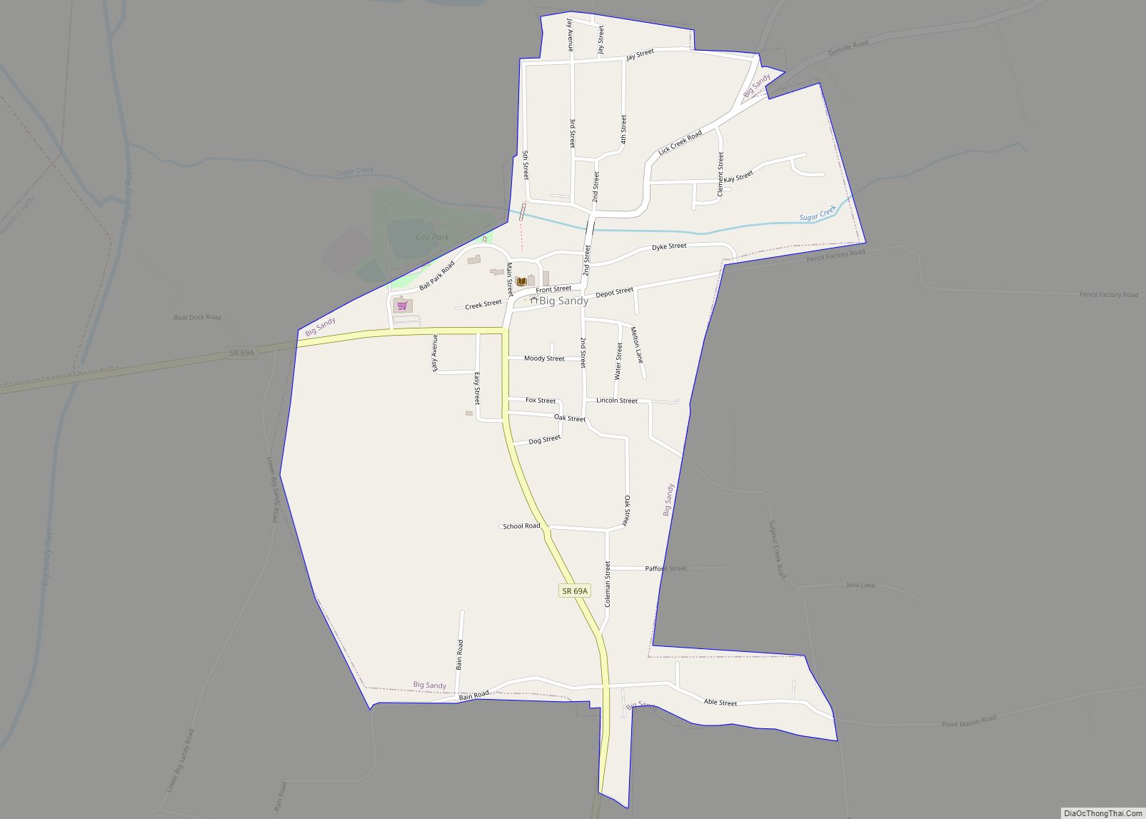
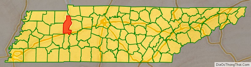
Benton County is located in northwest Tennessee, bordering the western branch of the Tennessee River and 30 miles south of the Kentucky border. Aside from Camden, other major communities include agrarian communities Big Sandy and Holladay. It is known well in the area for its duck hunting and fishing industries, and in the past, was recognized for sorghum production, although it is no longer produced there.
| Name: | Benton County |
|---|---|
| FIPS code: | 47-005 |
| State: | Tennessee |
| Founded: | 1836 |
| Named for: | David Benton (early settler) |
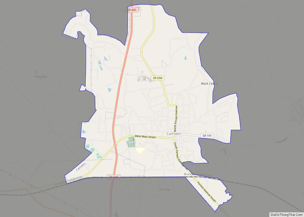
| Seat: | Camden |
| Largest city: | Camden |
| Total Area: | 436 sq mi (1,130 km²) |
| Land Area: | 394 sq mi (1,020 km²) |
| Total Population: | 15,864 |
| Population Density: | 40.26/sq mi (15.54/km²) |
| Time zone: | UTC−6 (Central) |
| Summer Time Zone (DST): | UTC−5 (CDT) |
| Website: | www.bentoncountytn.gov |
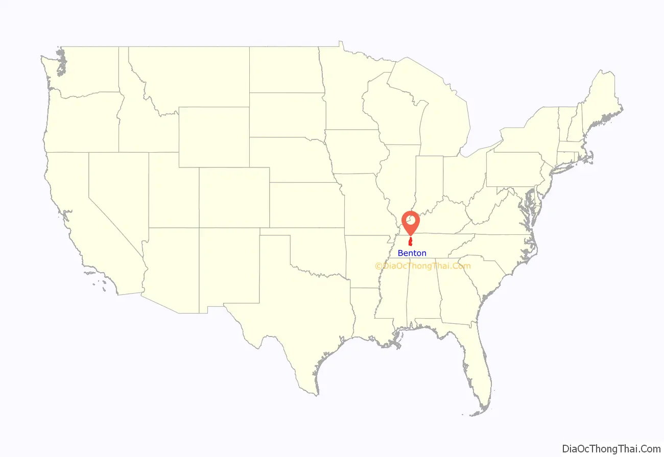
Benton County location map. Where is Benton County?
History
Benton County was formed in 1835 from part of Humphreys County. It was named in honor of David Benton (1779–1860), who was an early settler in the county and a member of the Third Regiment, Tennessee Militia in the Creek War.
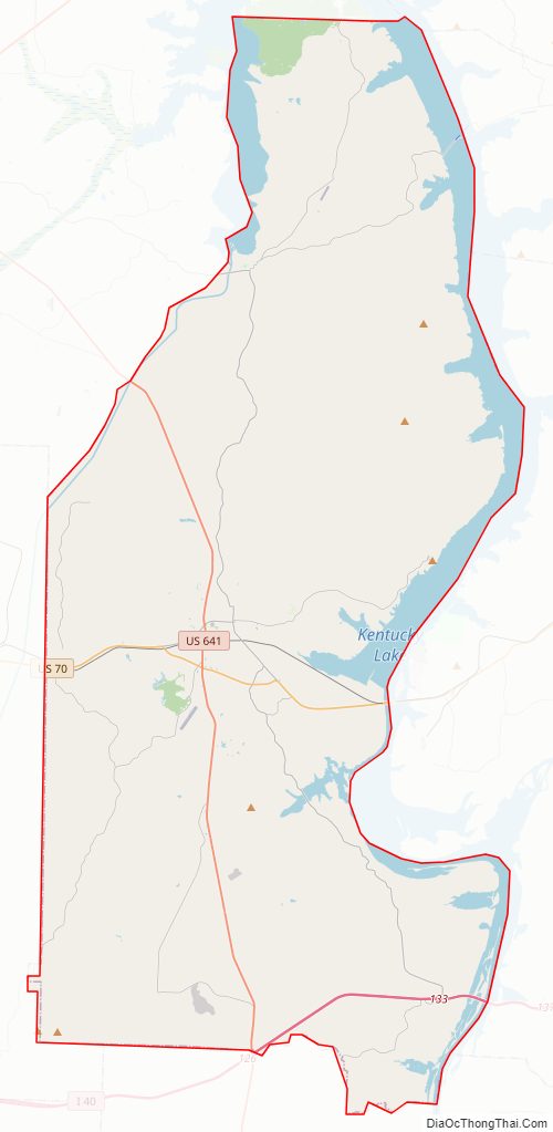
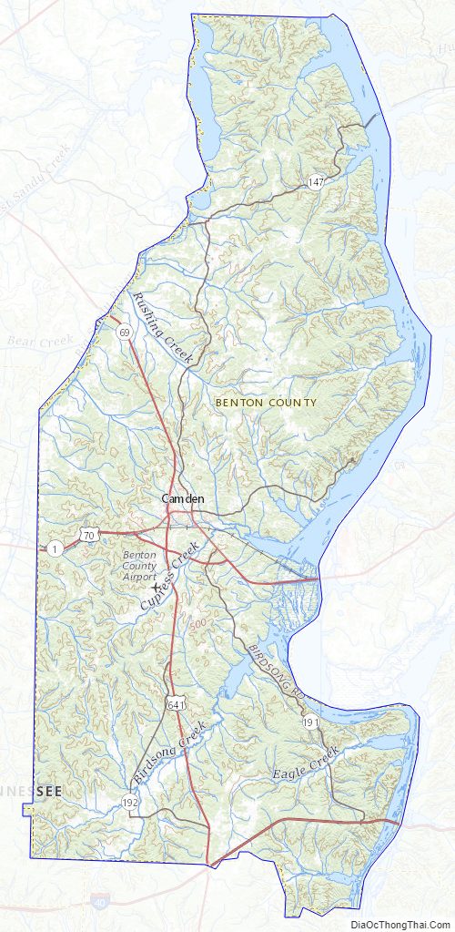
Benton County Road Map
Geography
According to the U.S. Census Bureau, the county has a total area of 436 square miles (1,130 km), of which 394 square miles (1,020 km) is land and 42 square miles (110 km) (9.6%) is water.
Adjacent counties
- Stewart County (northeast)
- Houston County (northeast)
- Humphreys County (east)
- Perry County (southeast)
- Decatur County (south)
- Carroll County (west)
- Henry County (northwest)
National protected area
- Tennessee National Wildlife Refuge (part)
State protected areas
- Big Sandy Wildlife Management Area (part)
- Camden Wildlife Management Area
- Nathan Bedford Forrest State Park
- Harmon Creek Wildlife Management Area
- Lick Creek Wildlife Management Area
- Natchez Trace State Forest (part)
- Natchez Trace State Park (part)
- New Hope Wildlife Management Area
Benton County Topographic Map
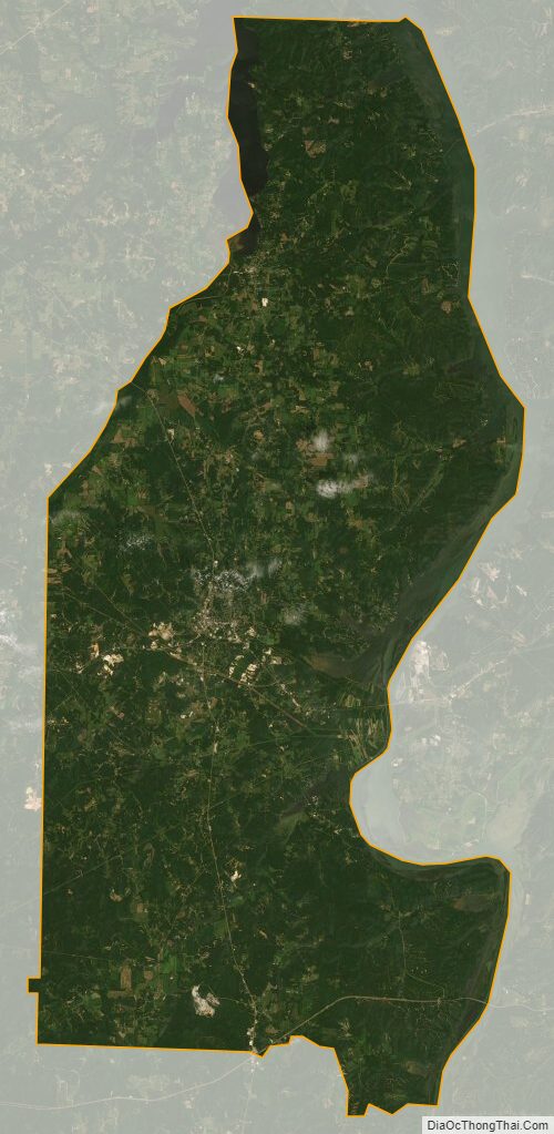
Benton County Satellite Map
Benton County Outline Map