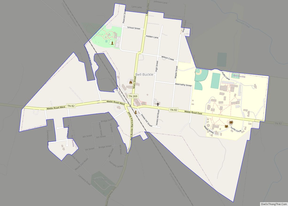
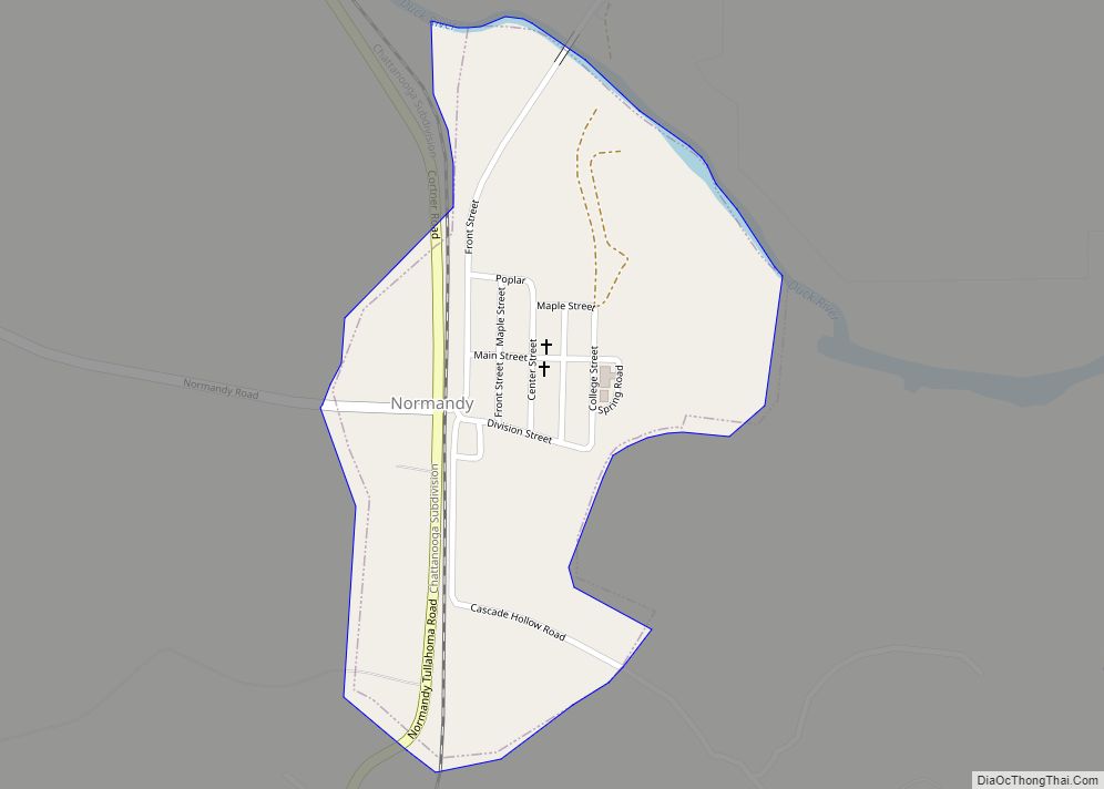
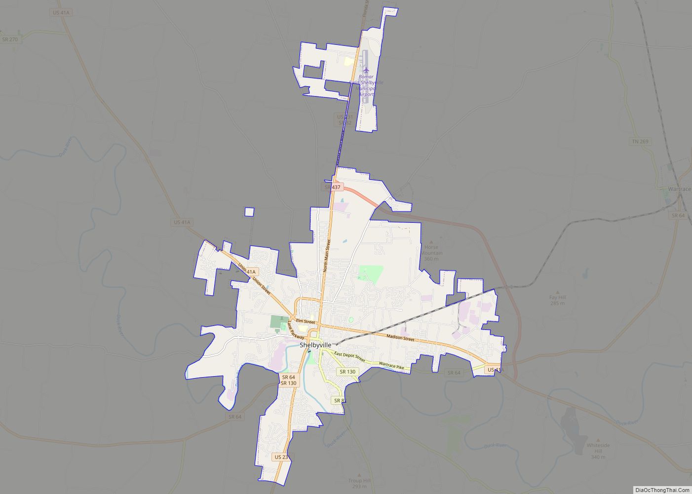
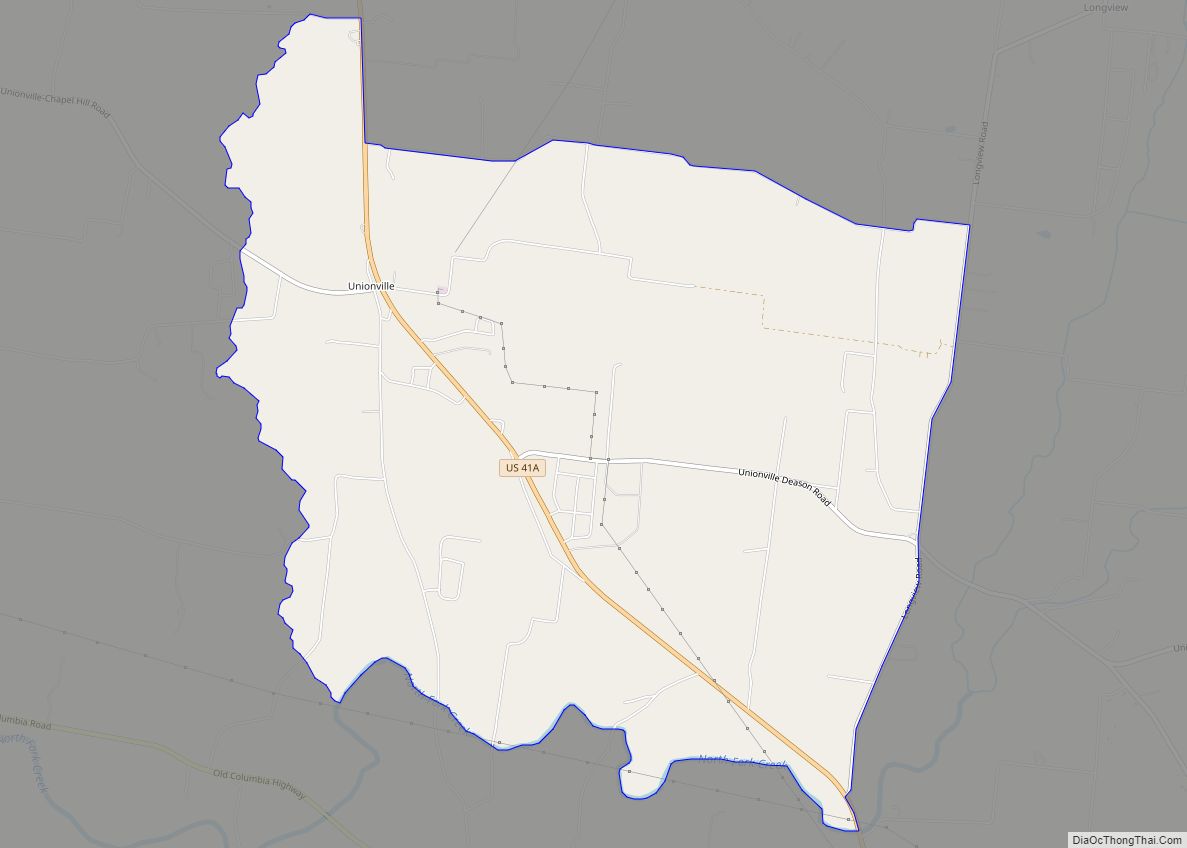
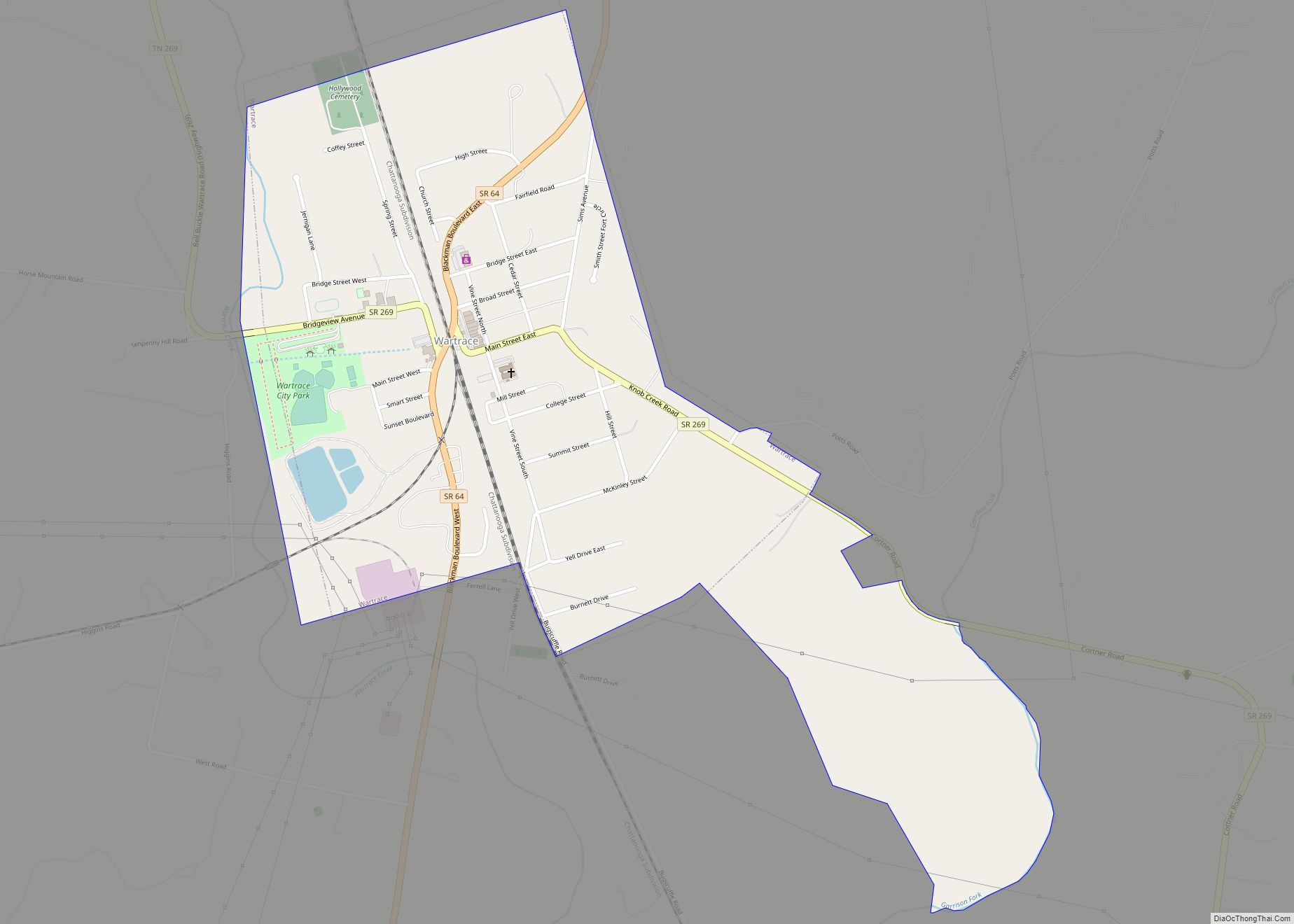
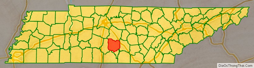
Bedford County is a county located in the U.S. state of Tennessee. As of the 2020 census, the population was 50,237. Its county seat is Shelbyville. Bedford County comprises the Shelbyville, TN Micropolitan Statistical Area, which is also included in the Nashville-Davidson–Murfreesboro, TN Combined Statistical Area.
| Name: | Bedford County |
|---|---|
| FIPS code: | 47-003 |
| State: | Tennessee |
| Founded: | December 7, 1807 |
| Named for: | Thomas Bedford, early settler |
| Seat: | Shelbyville |
| Largest city: | Shelbyville |
| Total Area: | 475 sq mi (1,230 km²) |
| Land Area: | 474 sq mi (1,230 km²) |
| Total Population: | 50,237 |
| Population Density: | 105.99/sq mi (40.92/km²) |
| Time zone: | UTC−6 (Central) |
| Summer Time Zone (DST): | UTC−5 (CDT) |
| Website: | www.bedfordcountytn.org |
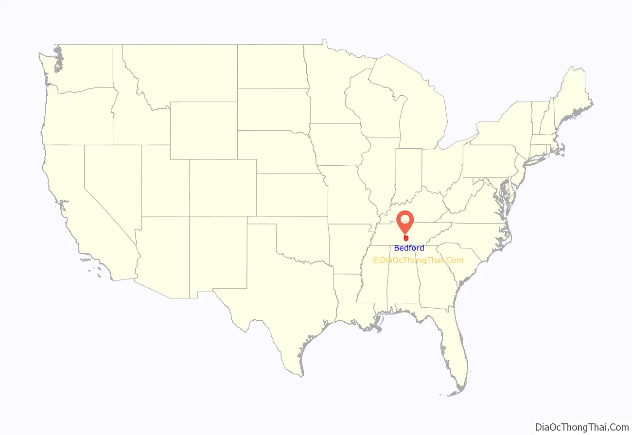
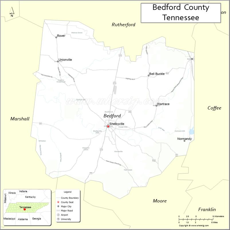
Bedford County location map. Where is Bedford County?
History
The county was created in 1807 when the citizens of Rutherford County living south of the Duck River and the Stones River successfully petitioned the governor to split Rutherford County in two. The new county was named after American Revolutionary War officer and large landowner in the area, Thomas Bedford.
Once the state’s largest and most populous county, Bedford County’s size (in terms of area) has been steadily reduced since 1809 to form Coffee County, Moore County, Lincoln County, and Marshall County.
The county was pro-Confederate during the Civil War, but Shelbyville was mostly loyal to the Union.
Confederate general Nathan Bedford Forrest was born in 1821 in Chapel Hill (now in Marshall County) and has no connection to naming of Bedford County. It was named after the Revolutionary War officer Thomas Bedford.
Texas pioneer William Whitaker Reed was born in Bedford County in 1816.
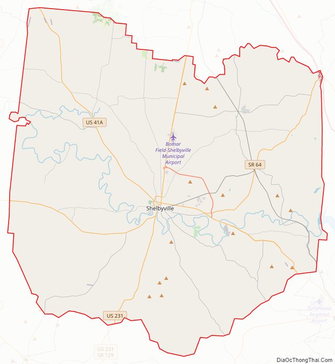
Bedford County Road Map
Geography
According to the U.S. Census Bureau, the county has a total area of 475 square miles (1,230 km), of which 474 square miles (1,230 km) is land and 1.2 square miles (3.1 km) (0.2%) is water.
Adjacent counties
- Rutherford County (north)
- Coffee County (east)
- Moore County (southeast)
- Lincoln County (south)
- Marshall County (west)
State protected areas
- Normandy Wildlife Management Area (part)
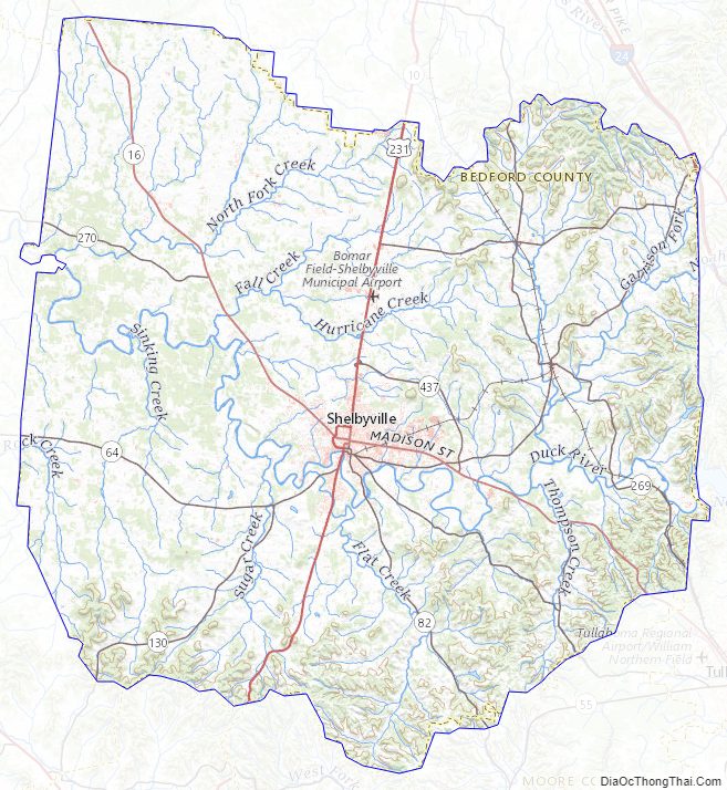
Bedford County Topographic Map
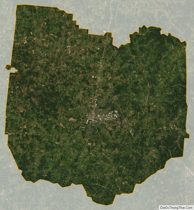
Bedford County Satellite Map
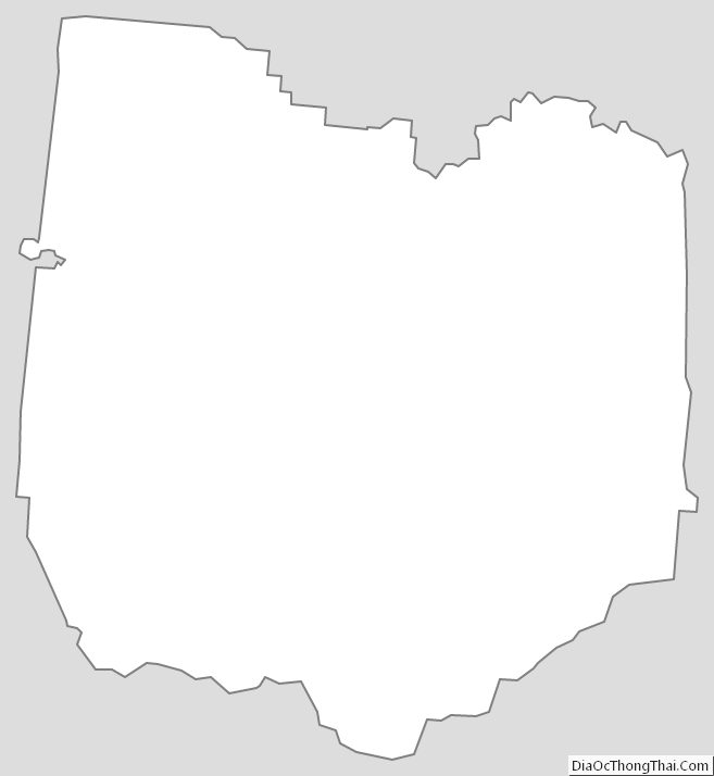
Bedford County Outline Map