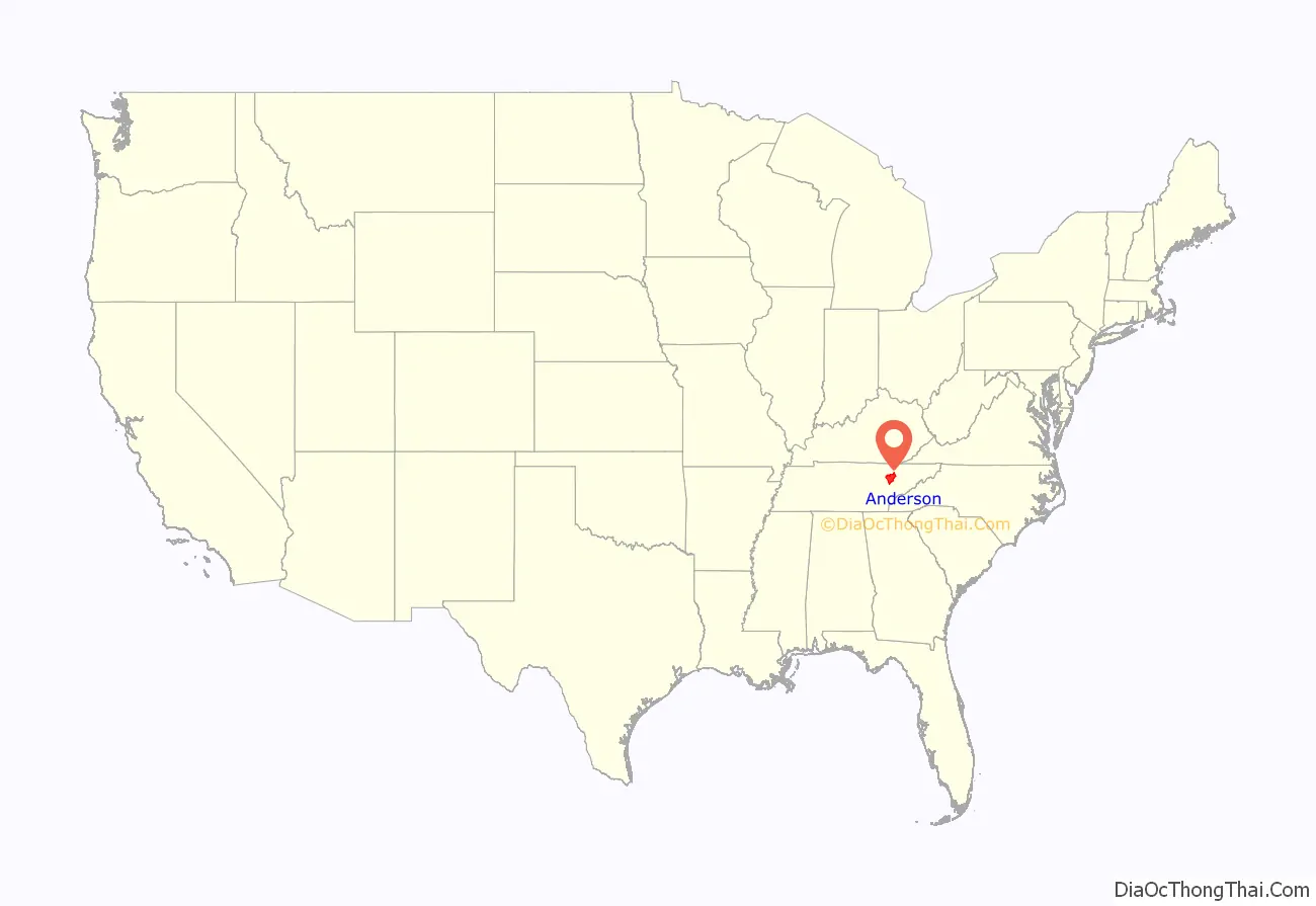
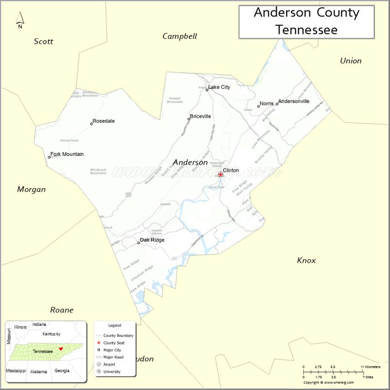
Anderson County is a county in the U.S. state of Tennessee. It is located in the northern part of the state in East Tennessee. As of the 2020 census, its population was 77,123. Its county seat is Clinton. Anderson County is included in the Knoxville, TN Metropolitan Statistical Area.
| Name: | Anderson County |
|---|---|
| FIPS code: | 47-001 |
| State: | Tennessee |
| Founded: | November 6, 1801 |
| Named for: | Joseph Anderson |
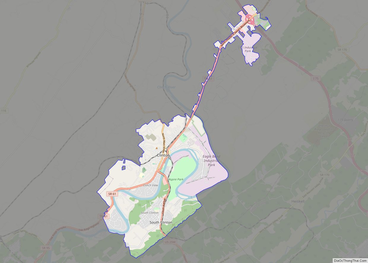
| Seat: | Clinton |
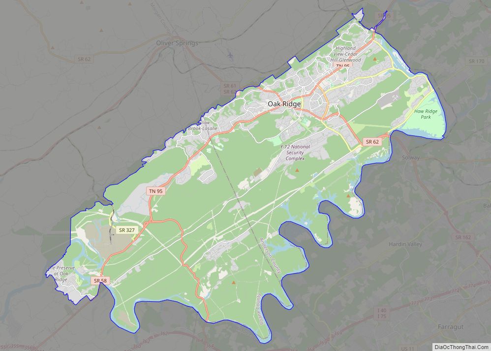
| Largest city: | Oak Ridge |
| Total Area: | 345 sq mi (890 km²) |
| Land Area: | 337 sq mi (870 km²) |
| Total Population: | 77,123 |
| Population Density: | 228.85/sq mi (88.36/km²) |
| Time zone: | UTC−5 (Eastern) |
| Summer Time Zone (DST): | UTC−4 (EDT) |
| Website: | www.andersontn.org |
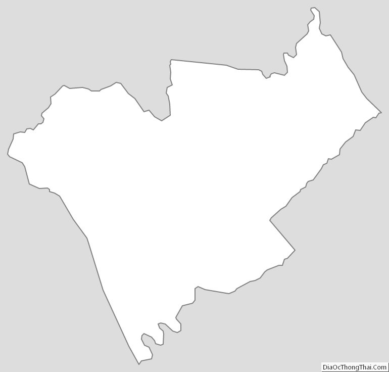
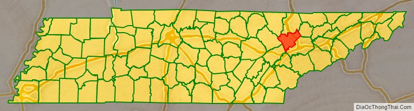
Anderson County location map. Where is Anderson County?
History
Before the formation of Anderson County, Tennessee, that territory was initially land of what is today called the Eastern Band of Cherokee Indians, which had been settled by several pioneer families including the Wallace, Gibbs, Freels, Frost and Tunnell families. Although the Treaty of Holston, signed in 1791, was intended as a negotiation with the Cherokee to prohibit settlement of the area including what is today Anderson County, the treaty became ineffective as more settlers moved through the Appalachian Mountains from Virginia and North Carolina into Tennessee. The flooding of white settlers into the Indian domain was cause for several skirmishes, which eased after the Treaty of Tellico in 1798 (with an origination point for relinquished land from the Cherokee being the Tellico Blockhouse) allowed for greater ease in settling the area.
Anderson County was partitioned from a portion of Grainger County, Tennessee as well as a portion of Knox County, Tennessee, in 1801; neighboring Roane County, Tennessee, was also formed from a portion of Knox County, Tennessee, in 1801, making Anderson and Roane counties effectively called ‘sister counties’. Anderson County was named in honor of Joseph Anderson (1757-1847), who was at that time U.S. senator from Tennessee, and whose career also included judge of the Superior Court of the Territory South of the River Ohio and Comptroller of the U.S. Treasury.
Like many East Tennessee counties, the residents of Anderson County were largely opposed to secession on the eve of the Civil War. On June 8, 1861, Anderson Countians voted against Tennessee’s Ordinance of Secession, 1,278 to 97.
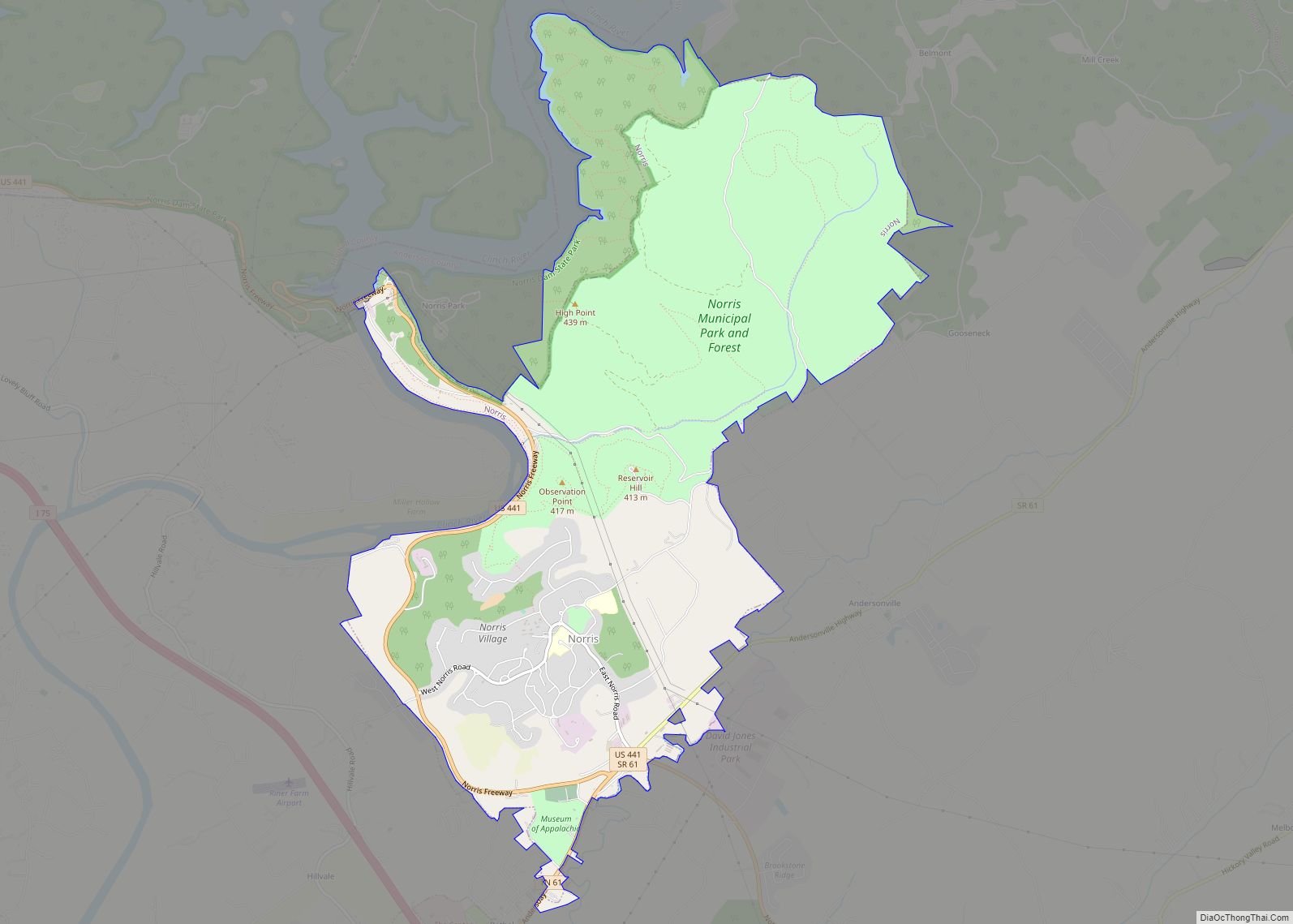
The construction of Norris Dam, the first dam built by the Tennessee Valley Authority, brought major changes to the county in the 1930s. Approximately 2900 families were relocated from reservoir lands in Anderson and nearby counties during the construction, which began in 1933 and was completed in 1936. The town of Norris was initially built as a planned community to house the workers involved in the construction of this dam. As a result of the dam completion and operation, the temperature of the downstream Clinch River bed changed, so that a former pearl industry which had been successful for many years evaporated as the mussels, once prevalent in the river, were not able to sustain life in the changed climate.
During World War II, the federal government’s Manhattan Project brought more change to the county, including the displacement of more families and the founding of Oak Ridge.
The Museum of Appalachia in Norris commemorates pioneer and rural life of past decades in Anderson County and the surrounding region. It is also an antique shop that sells artifacts from the times of the first settlers to the times of the Coal Creek War
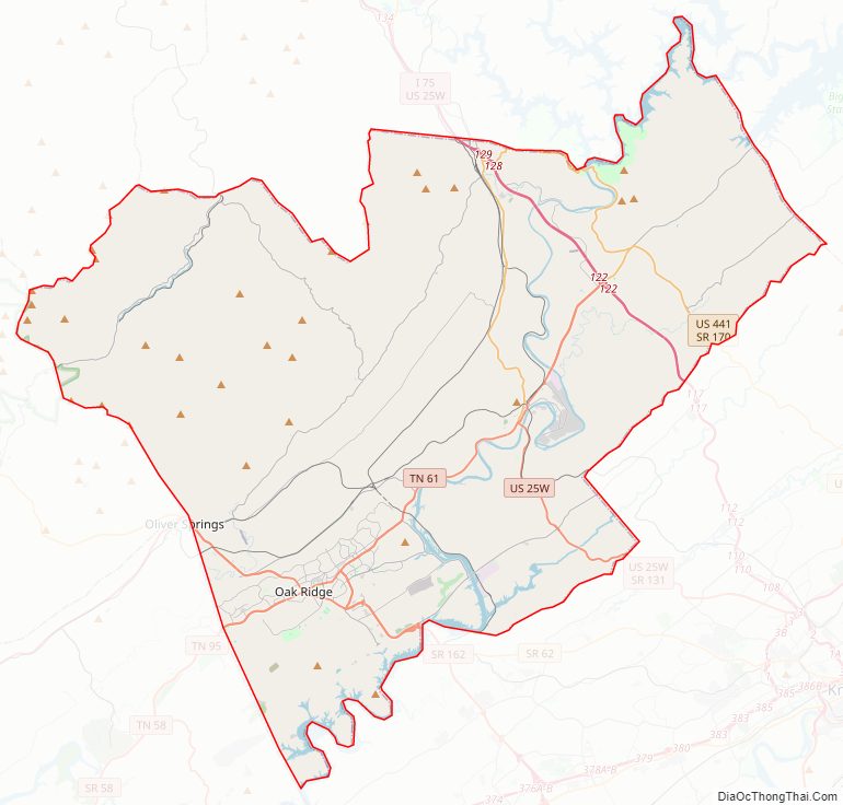
Anderson County Road Map
Geography
According to the U.S. Census Bureau, the county has a total area of 345 square miles (890 km), of which 337 square miles (870 km) is land and 7.6 square miles (20 km) (2.2%) is water.
Adjacent counties
- Campbell County (north)
- Union County (northeast)
- Knox County (southeast)
- Roane County (southwest)
- Morgan County (west)
- Scott County (northwest)
National protected area
- Manhattan Project National Historical Park (part)
State protected areas
- Norris Dam State Park (part)
- North Cumberland Wildlife Management Area (part)
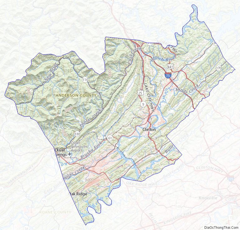
Anderson County Topographic Map
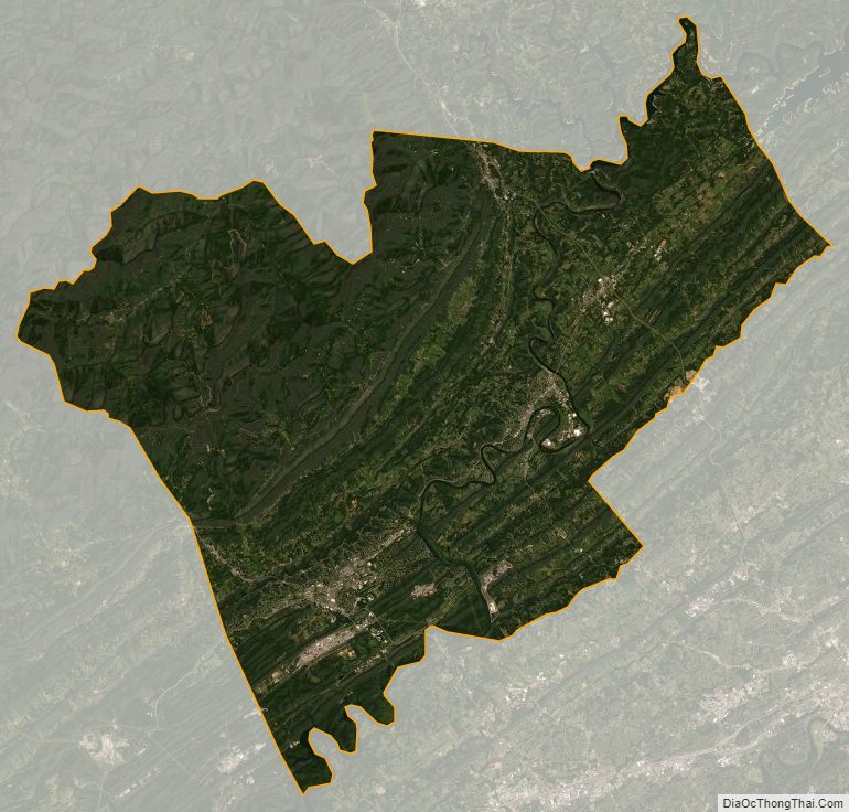
Anderson County Satellite Map
Anderson County Outline Map