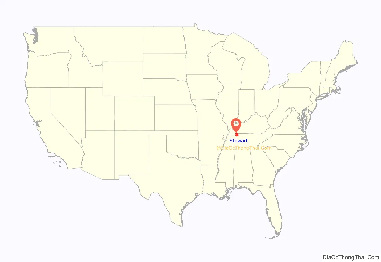
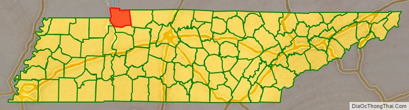
Stewart County is a county located on the northwestern corner of Middle Tennessee, in the U.S. state of Tennessee. As of the 2020 census, the population was 13,657. Its county seat is Dover. Stewart County is part of the Clarksville Metropolitan Statistical Area.
| Name: | Stewart County |
|---|---|
| FIPS code: | 47-161 |
| State: | Tennessee |
| Founded: | 1803 |
| Named for: | Duncan Stewart |
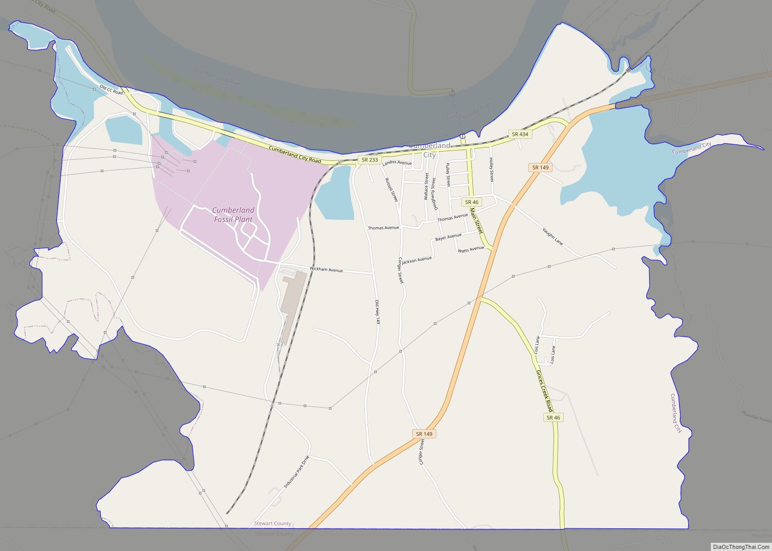
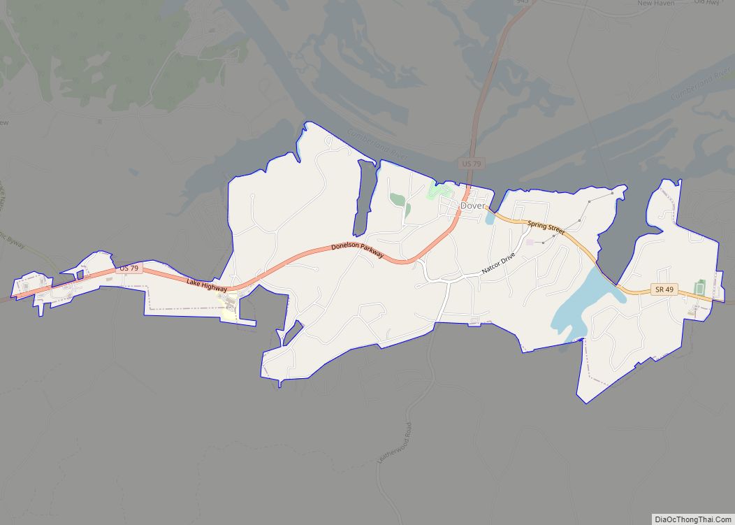
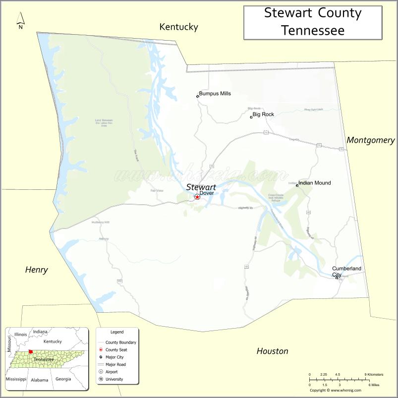
| Seat: | Dover |
| Largest city: | Dover |
| Total Area: | 493 sq mi (1,280 km²) |
| Land Area: | 459 sq mi (1,190 km²) |
| Total Population: | 13,657 |
| Population Density: | 29/sq mi (11/km²) |
| Time zone: | UTC−6 (Central) |
| Summer Time Zone (DST): | UTC−5 (CDT) |
| Website: | www.stewartcogov.com |
Stewart County location map. Where is Stewart County?
History
Stewart County was created by European Americans in 1803 from a portion of Montgomery County, and was named for Duncan Stewart, an early settler and state legislator. The first County Court met in March 1804. According to Goodspeed’s history of Stewart County, “Stewart County was settled principally by North Carolinians, the first of whom came some time about 1795, that State having issued military grants to survivors of the Continental war, which called for large tracts of land lying in this county”. It was settled during the early migration of pioneers from Virginia to the west after the American Revolutionary War. They pushed Native American peoples, such as the Cherokee, out of the area. (Please supply sources proving that the early pioners were from Virginia.)
During the American Civil War, the Battle of Fort Donelson took place in February 1862. Union forces took control of the state, occupying several strategic areas. In August 1862 their forces partially burned the county seat, Dover, to prevent its re-capture by Confederate Lt. Col. Thomas G. Woodward. A second battle in the area, commonly called the Battle of Dover, took place in February 1863.
Tobaccoport Saltpeter Cave was intensely mined for saltpeter, possibly during the War of 1812 but more likely not until the Civil War. Saltpeter is the main ingredient of gunpowder and was obtained by leaching the earth from the cave. The Union took control of Tennessee and this area in February 1862, early in the Civil War. It seems unlikely that mining could have happened before that.
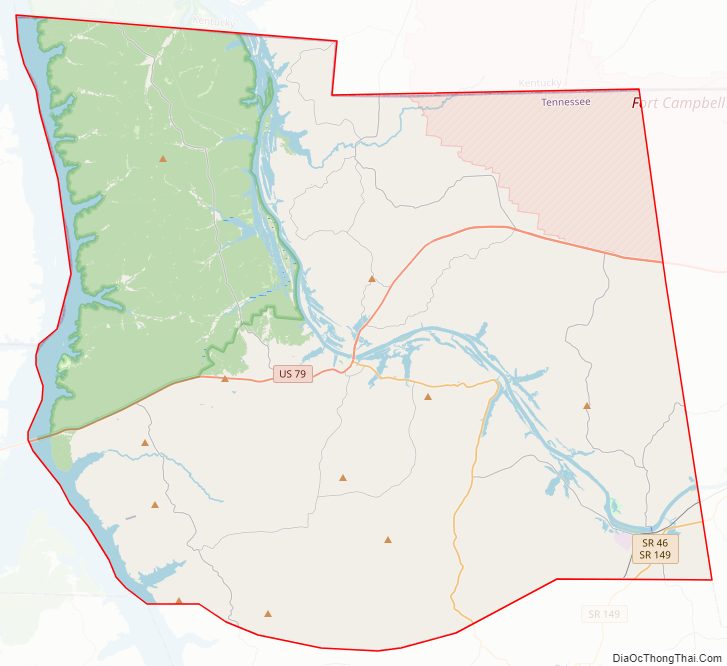
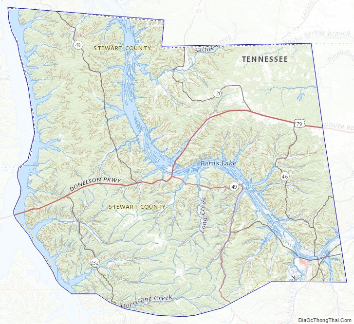
Stewart County Road Map
Geography
According to the U.S. Census Bureau, the county has a total area of 493 square miles (1,280 km), of which 459 square miles (1,190 km) is land and 34 square miles (88 km) (6.8%) is water. The county lies in a rugged section of the northwestern Highland Rim. The Cumberland River (part of Lake Barkley) traverses the county. The Tennessee River (part of Kentucky Lake) provides the county’s border with Henry County to the west.
Federal and state agencies control nearly 44% of the land in the county.
Adjacent counties
- Trigg County, Kentucky (north)
- Christian County, Kentucky (northeast)
- Montgomery County (east)
- Houston County (south)
- Benton County (southwest)
- Henry County (west)
- Calloway County, Kentucky (northwest)
National protected areas
- Cross Creeks National Wildlife Refuge
- Fort Donelson National Battlefield (part)
- Land Between the Lakes National Recreation Area (part)
State protected areas
- Barkley Wildlife Management Area
- Stewart State Forest
Stewart County Topographic Map
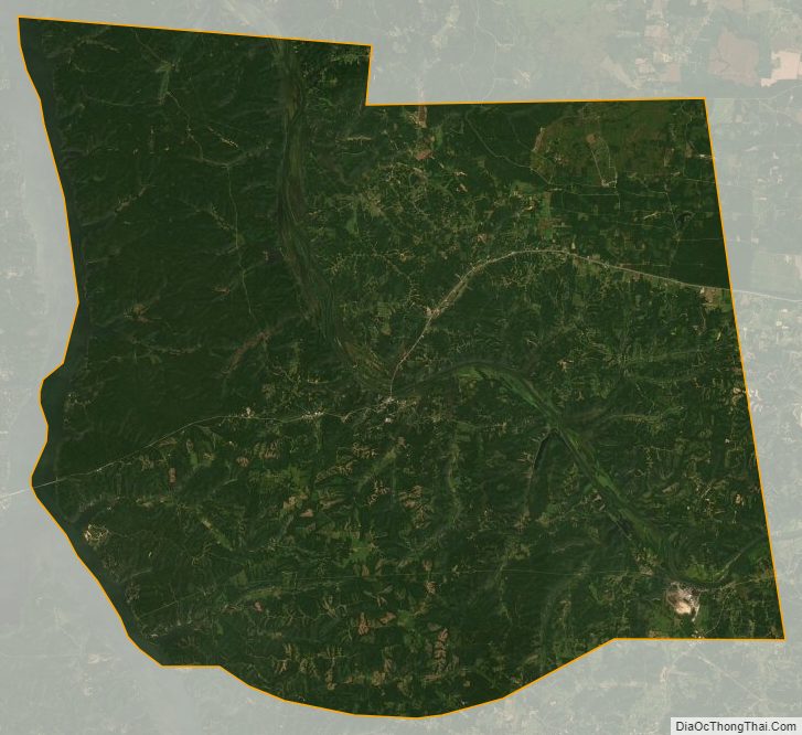
Stewart County Satellite Map
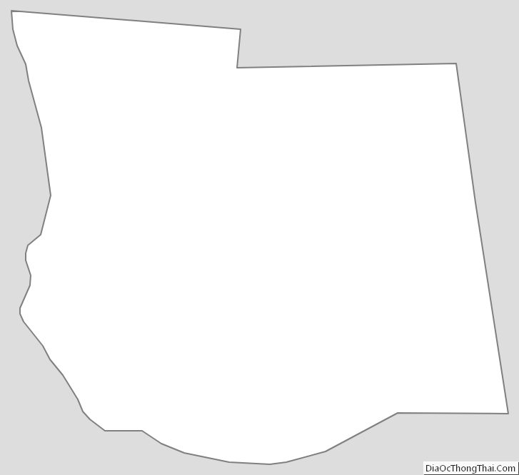
Stewart County Outline Map