Bledsoe County is a county located in the U.S. state of Tennessee. As of the 2020 census, the population was 14,913. Its county seat is Pikeville.
| Name: | Bledsoe County |
|---|---|
| FIPS code: | 47-007 |
| State: | Tennessee |
| Founded: | 1807 |
| Named for: | Anthony Bledsoe |
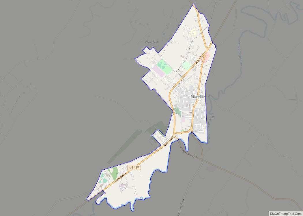
| Seat: | Pikeville |
| Largest city: | Pikeville |
| Total Area: | 407 sq mi (1,050 km²) |
| Land Area: | 406 sq mi (1,050 km²) |
| Total Population: | 14,913 |
| Population Density: | 36.73/sq mi (14.18/km²) |
| Time zone: | UTC−6 (Central) |
| Summer Time Zone (DST): | UTC−5 (CDT) |
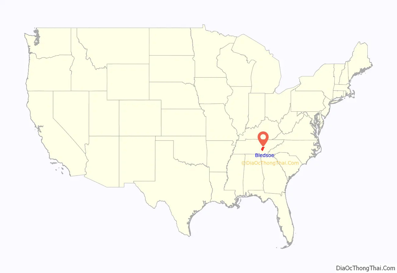
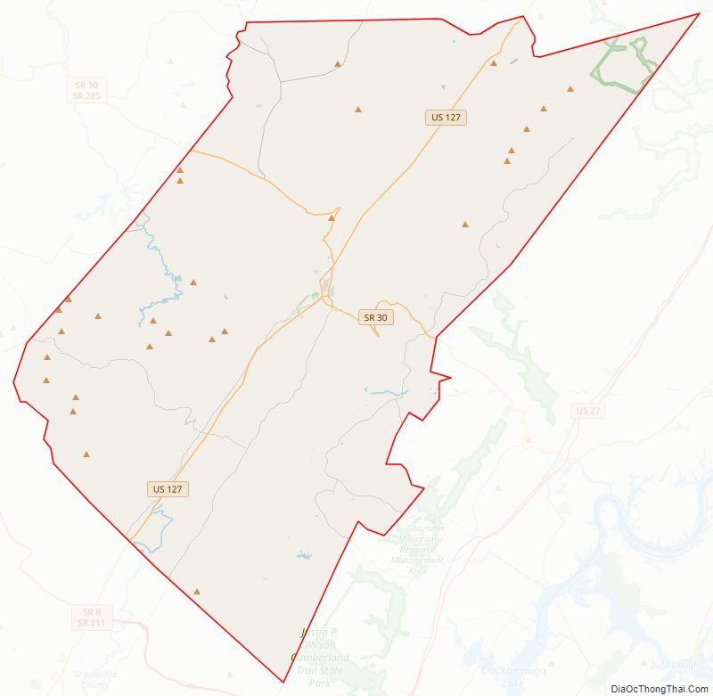
Bledsoe County location map. Where is Bledsoe County?
History
Bledsoe County was formed in 1807 from land that was formerly Indian Land as well as land carved from Roane County. The county was named for Anthony Bledsoe (1739–1788), a soldier in the Revolutionary War and was an early settler of Sumner County. He was killed in an Indian attack at Bledsoe’s Station.
Like many East Tennessee counties, Bledsoe County opposed secession on the eve of the Civil War. In Tennessee’s Ordinance of Secession on June 8, 1861, the county’s residents voted against secession by a margin of 500 to 197. General James G. Spears, a resident of Bledsoe, served as a vice president at the pro-Union East Tennessee Convention in May and June 1861, and fought for the Union Army in the war.
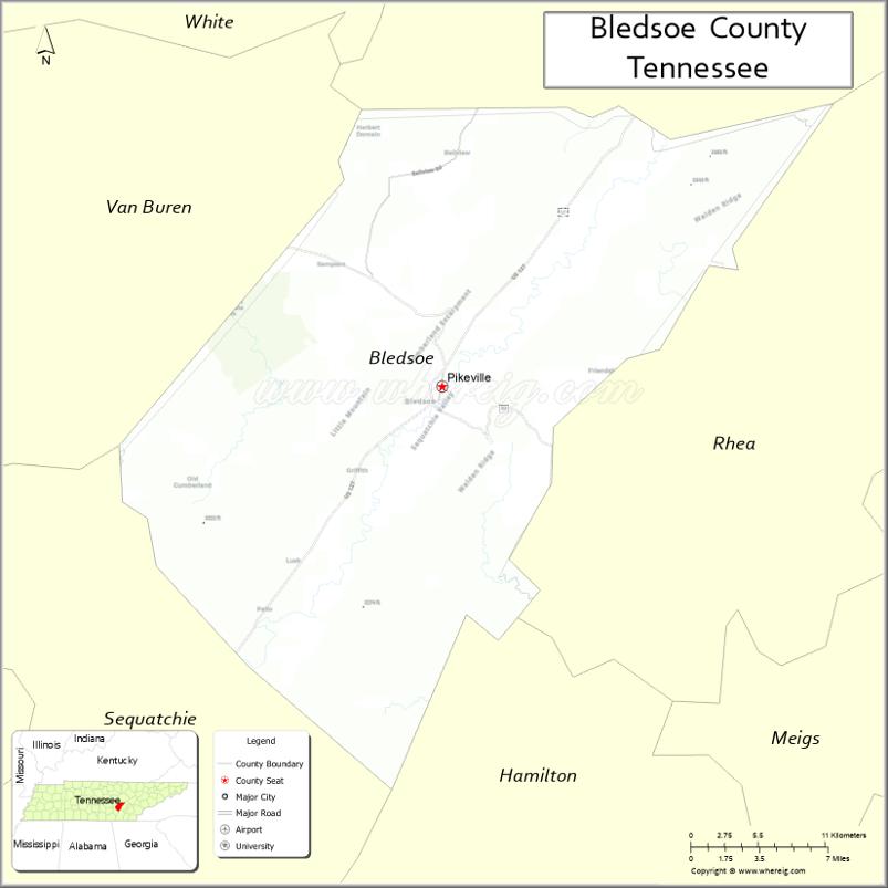
Bledsoe County Road Map
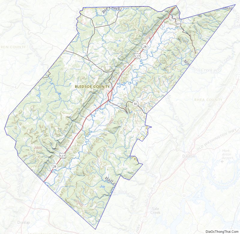
Geography
According to the U.S. Census Bureau, the county has a total area of 407 square miles (1,050 km), of which 406 square miles (1,050 km) is land and 0.3 square miles (0.78 km) (0.08%) is water.
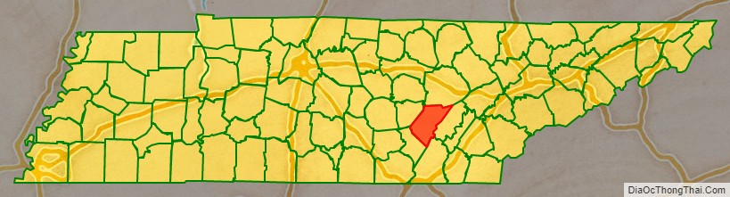
Adjacent counties
- Cumberland County (north)
- Rhea County (east/EST Border)
- Hamilton County (southeast/EST Border)
- Sequatchie County (southwest)
- Van Buren County (west)
State protected areas
- Bledsoe State Forest (part)
- Fall Creek Falls State Natural Area (part)
- Fall Creek Falls State Park (part)
Bledsoe County Topographic Map
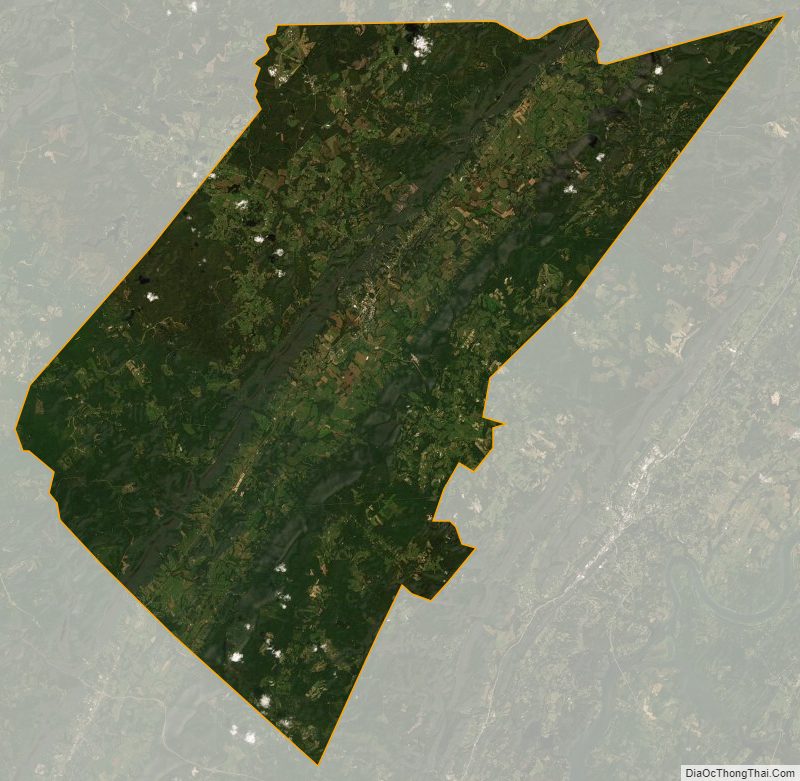
Bledsoe County Satellite Map
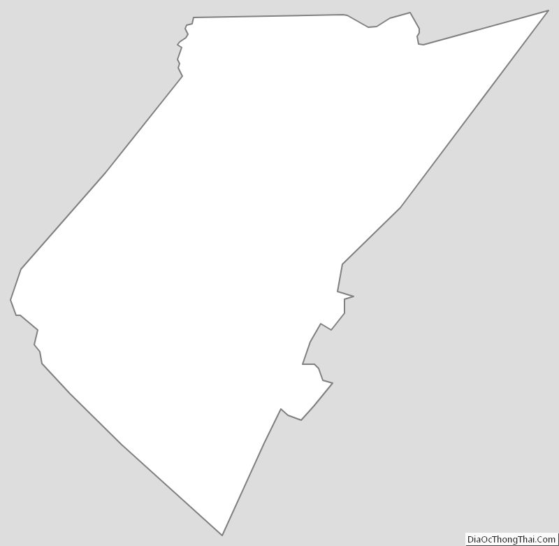
Bledsoe County Outline Map