Camden is a city in Benton County, Tennessee, United States. The population was 3,674 at the 2020 census. It is the county seat of Benton County.
| Name: | Camden city |
|---|---|
| LSAD Code: | 25 |
| LSAD Description: | city (suffix) |
| State: | Tennessee |
| County: | Benton County |
| Founded: | 1836 |
| Incorporated: | 1838 |
| Elevation: | 449 ft (137 m) |
| Total Area: | 5.68 sq mi (14.70 km²) |
| Land Area: | 5.68 sq mi (14.70 km²) |
| Water Area: | 0.00 sq mi (0.00 km²) |
| Total Population: | 3,674 |
| Population Density: | 647.17/sq mi (249.88/km²) |
| ZIP code: | 38320 |
| Area code: | 731 |
| FIPS code: | 4710560 |
| GNISfeature ID: | 1305616 |
| Website: | www.cityofcamdentn.com |
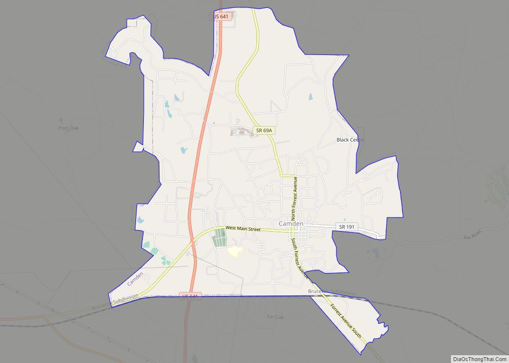
Online Interactive Map
Click on ![]() to view map in "full screen" mode.
to view map in "full screen" mode.
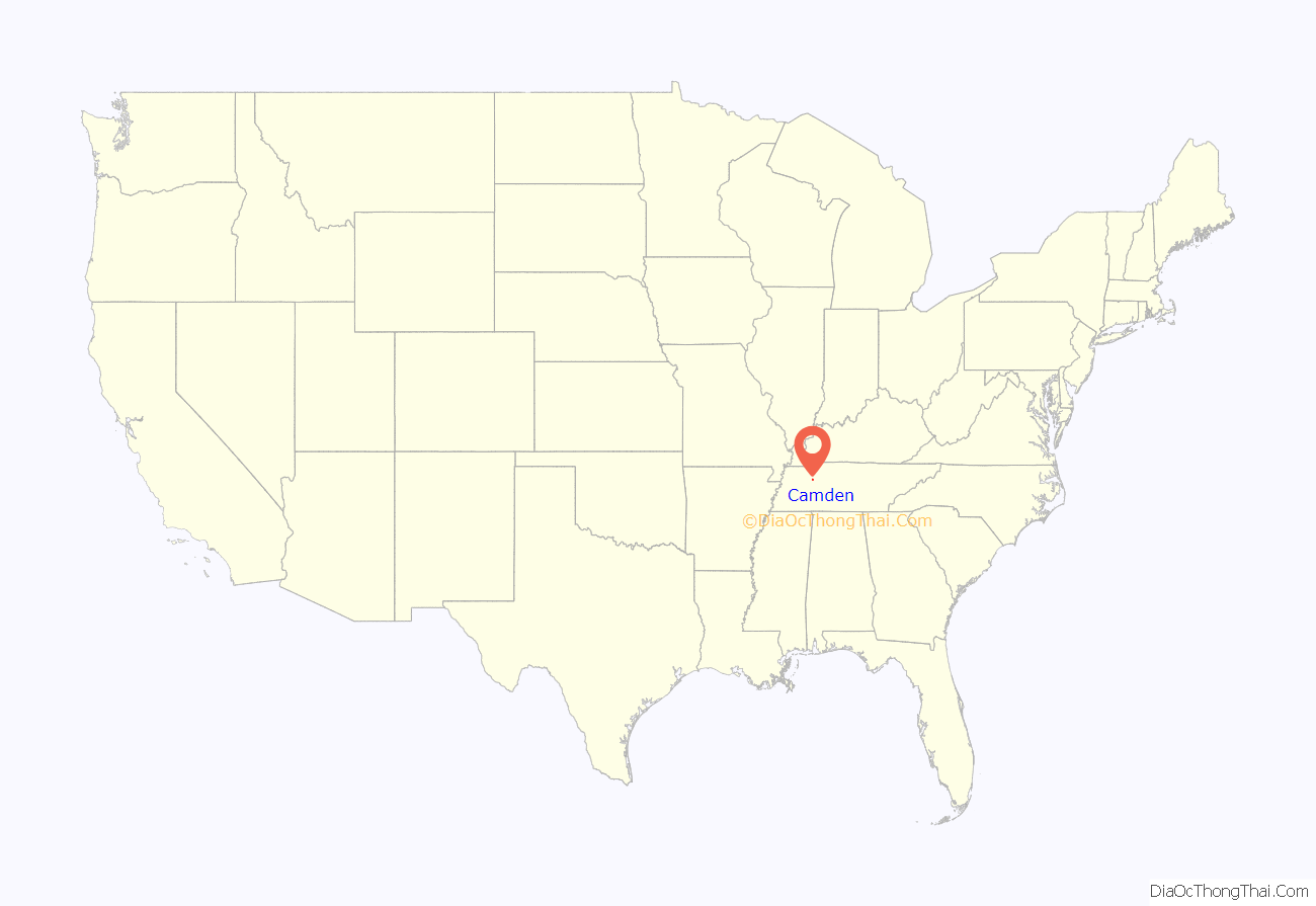
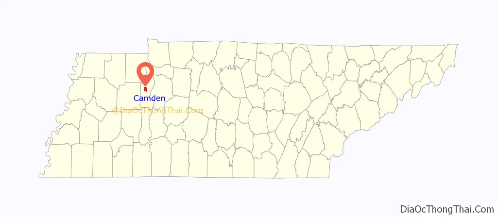
Camden location map. Where is Camden city?
History
Native Americans were living in the Camden area as early as the Archaic period (8000-1000 BC). A significant archaeological site has been excavated at nearby Eva (the actual site is now submerged under Kentucky Lake), uncovering evidence of semi-permanent habitation dating back 7000 years.
The first European settlers arrived in the Benton County area around 1818, shortly after (and probably before) the county was purchased from the Chickasaw. Camden has its roots as a stopover along the stage coach route between Nashville and Memphis. Initially known as “Tranquility”, the community had attained the name “Camden” by the 1830s, a name influenced by the Revolutionary War-era Battle of Camden. When Benton County was created in 1835, Camden was chosen as the county seat. The City of Camden was officially incorporated in 1838.
On October 20, 1922, George and Ed Hartley were lynched by a large mob outside Camden County Jail after being convicted of manslaughter.
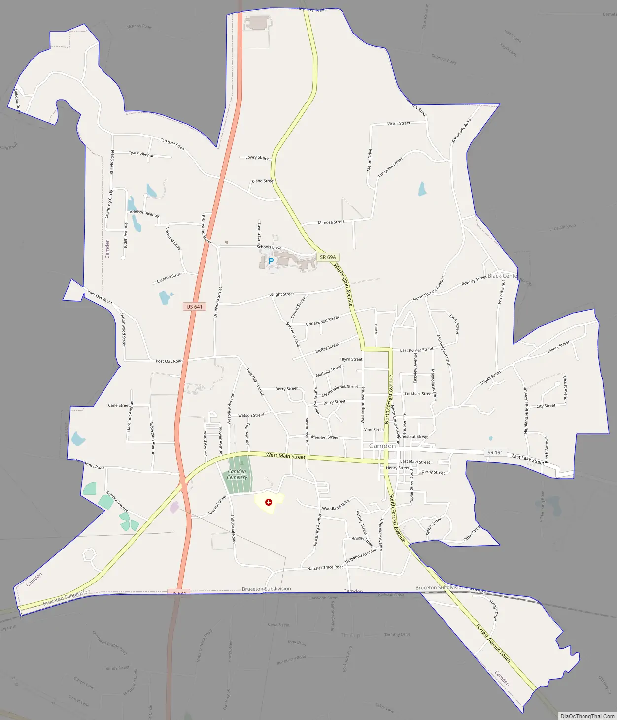
Camden Road Map
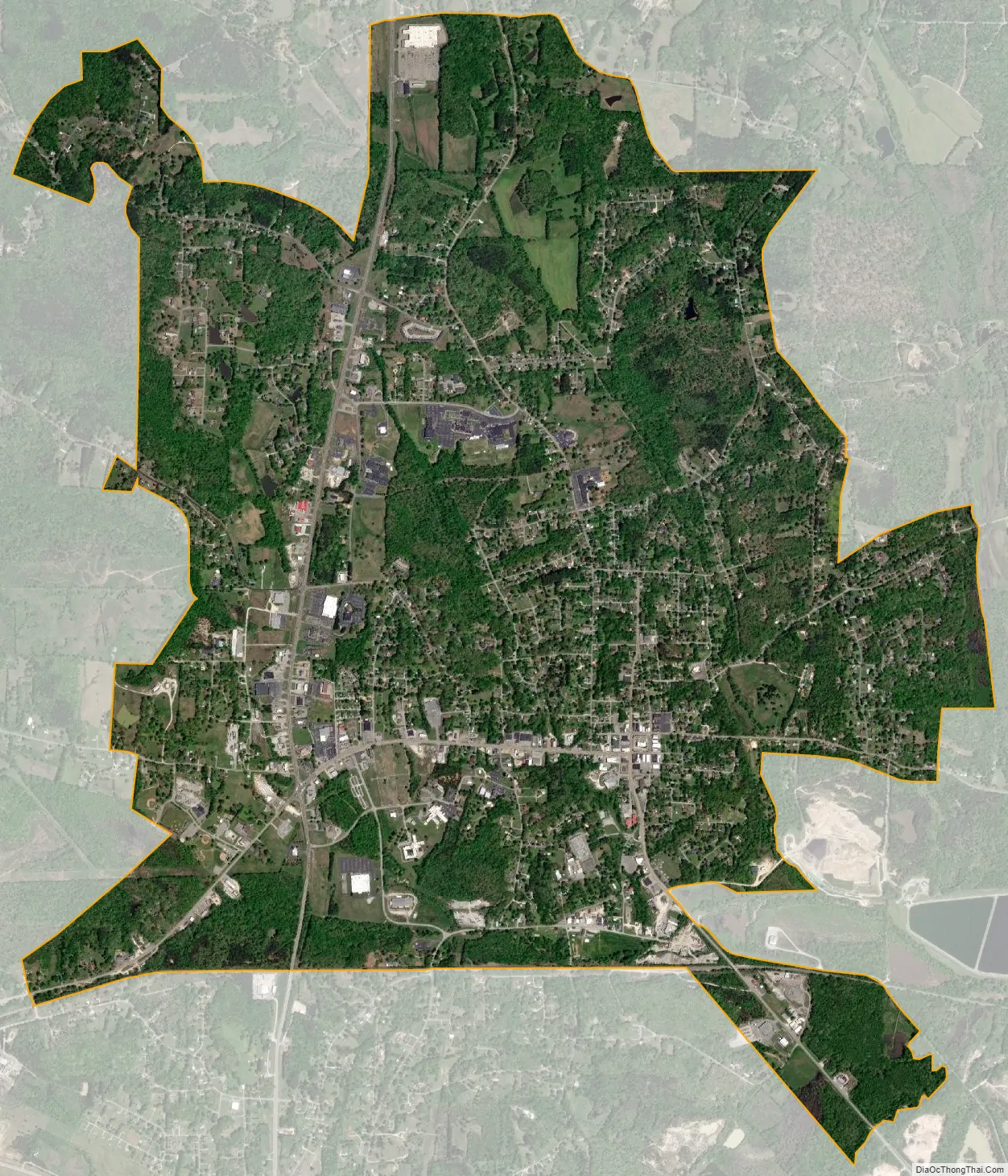
Camden city Satellite Map
Geography
Camden is situated along Cypress Creek, near the creek’s modern confluence with the Kentucky Lake impoundment of the Tennessee River (the original lower 10 miles (16 km) of the creek were entirely engulfed by the lake with the completion of Kentucky Dam in 1944). The area is characterized by low hills to the north and west and wetlands to the east, the latter of which are largely protected by the Camden Wildlife Management Area.
According to the United States Census Bureau, the city has a total area of 5.7 square miles (14.7 km), all of it land.
Climate
See also
Map of Tennessee State and its subdivision:- Anderson
- Bedford
- Benton
- Bledsoe
- Blount
- Bradley
- Campbell
- Cannon
- Carroll
- Carter
- Cheatham
- Chester
- Claiborne
- Clay
- Cocke
- Coffee
- Crockett
- Cumberland
- Davidson
- Decatur
- DeKalb
- Dickson
- Dyer
- Fayette
- Fentress
- Franklin
- Gibson
- Giles
- Grainger
- Greene
- Grundy
- Hamblen
- Hamilton
- Hancock
- Hardeman
- Hardin
- Hawkins
- Haywood
- Henderson
- Henry
- Hickman
- Houston
- Humphreys
- Jackson
- Jefferson
- Johnson
- Knox
- Lake
- Lauderdale
- Lawrence
- Lewis
- Lincoln
- Loudon
- Macon
- Madison
- Marion
- Marshall
- Maury
- McMinn
- McNairy
- Meigs
- Monroe
- Montgomery
- Moore
- Morgan
- Obion
- Overton
- Perry
- Pickett
- Polk
- Putnam
- Rhea
- Roane
- Robertson
- Rutherford
- Scott
- Sequatchie
- Sevier
- Shelby
- Smith
- Stewart
- Sullivan
- Sumner
- Tipton
- Trousdale
- Unicoi
- Union
- Van Buren
- Warren
- Washington
- Wayne
- Weakley
- White
- Williamson
- Wilson
- Alabama
- Alaska
- Arizona
- Arkansas
- California
- Colorado
- Connecticut
- Delaware
- District of Columbia
- Florida
- Georgia
- Hawaii
- Idaho
- Illinois
- Indiana
- Iowa
- Kansas
- Kentucky
- Louisiana
- Maine
- Maryland
- Massachusetts
- Michigan
- Minnesota
- Mississippi
- Missouri
- Montana
- Nebraska
- Nevada
- New Hampshire
- New Jersey
- New Mexico
- New York
- North Carolina
- North Dakota
- Ohio
- Oklahoma
- Oregon
- Pennsylvania
- Rhode Island
- South Carolina
- South Dakota
- Tennessee
- Texas
- Utah
- Vermont
- Virginia
- Washington
- West Virginia
- Wisconsin
- Wyoming