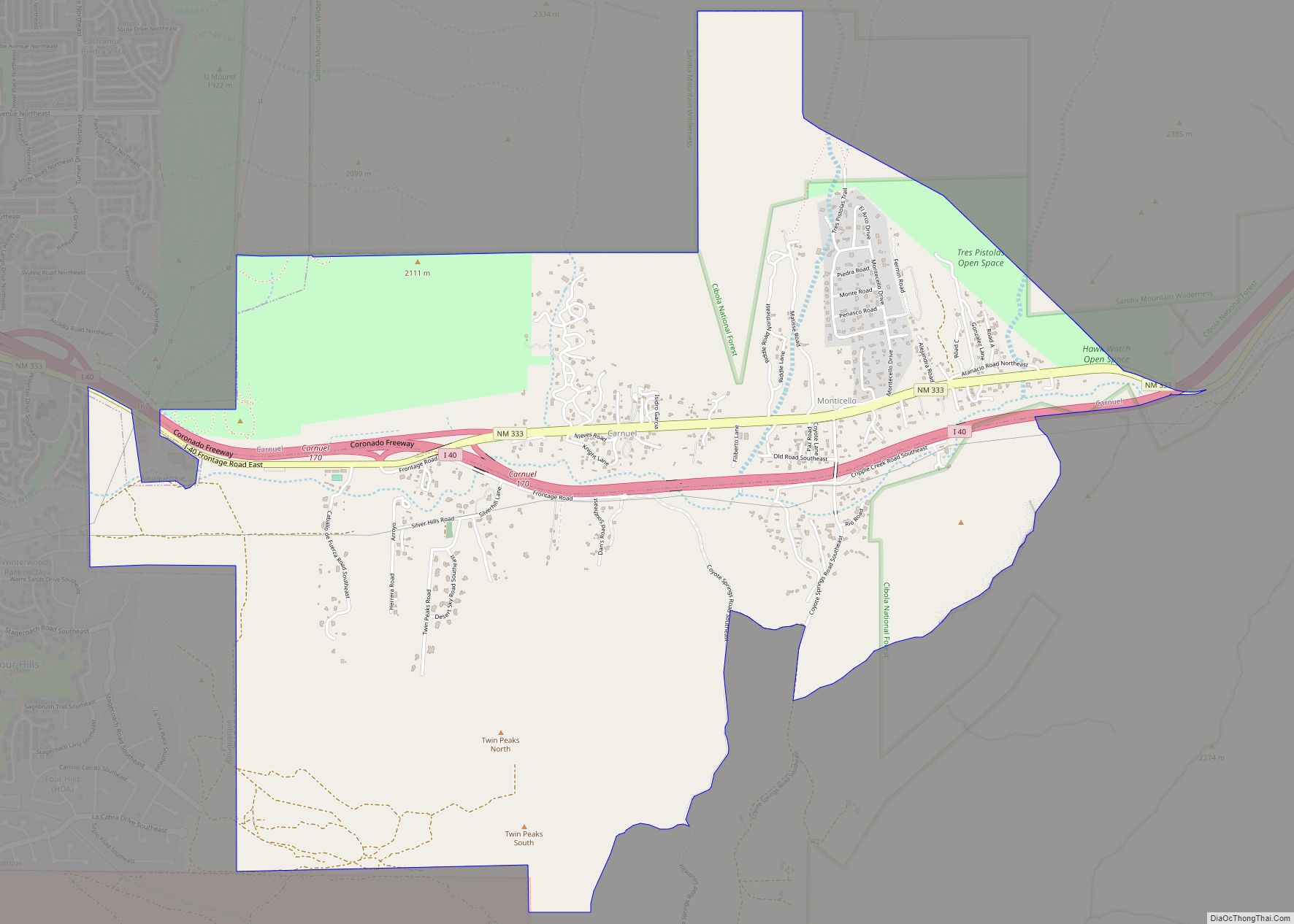
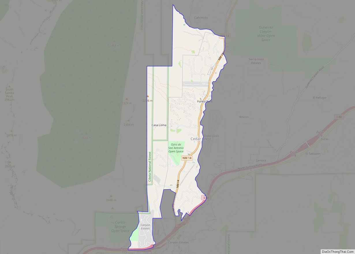
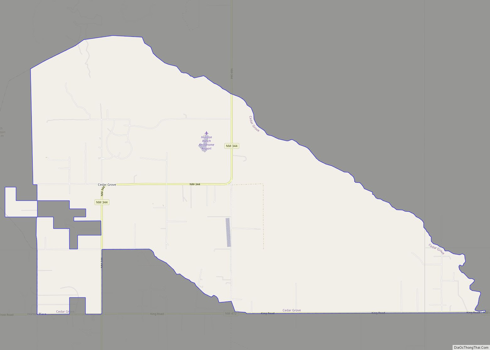
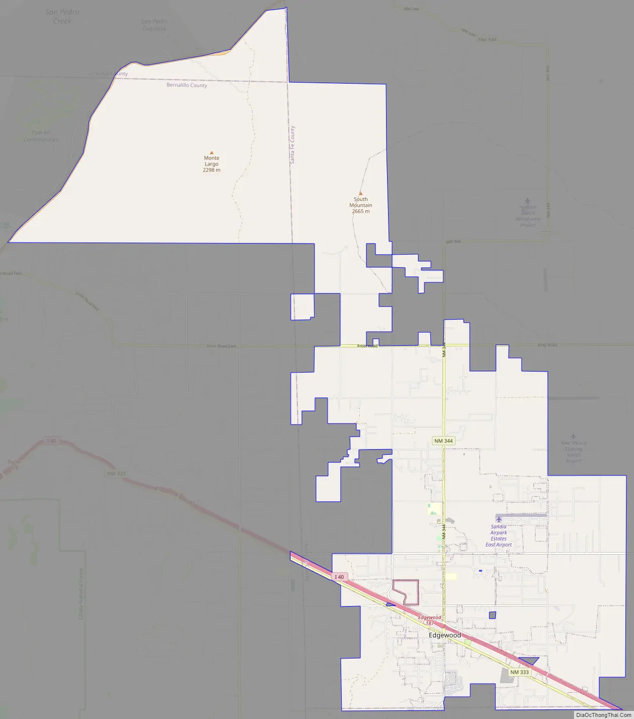
Edgewood is a town in Santa Fe County, New Mexico, United States. Through annexations, its town boundaries now extend into Bernalillo and Sandoval counties. It is part of the Albuquerque–Santa Fe–Las Vegas combined statistical area.
Although in Santa Fe County, Edgewood is geographically closer to Albuquerque than to the city of Santa Fe. The town’s population grew 97% between 2000 and 2010, from 1,893 to 3,735. Edgewood boasts a median household income of over $50,000 per year, a high number compared to the state averages.
| Name: | Edgewood town |
|---|---|
| LSAD Code: | 43 |
| LSAD Description: | town (suffix) |
| State: | New Mexico |
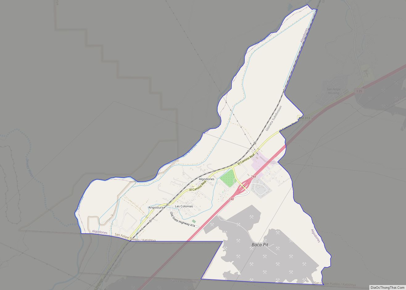
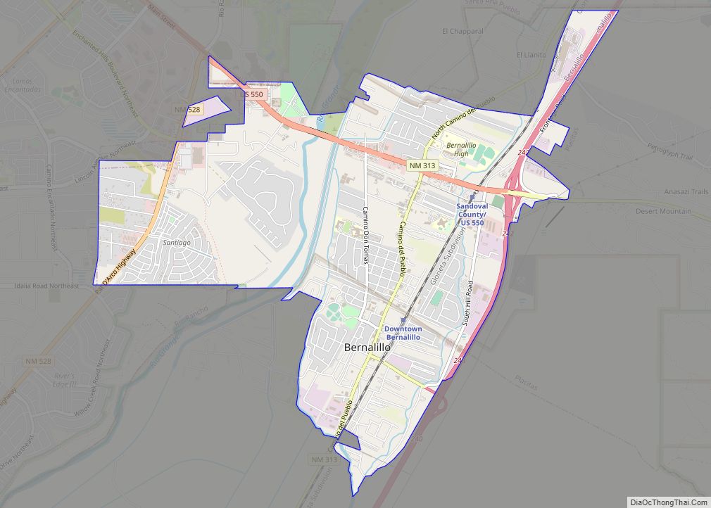
| County: | Bernalillo County, Sandoval County, Santa Fe County |
| Elevation: | 6,700 ft (2,000 m) |
| Total Area: | 56.81 sq mi (147.15 km²) |
| Land Area: | 56.80 sq mi (147.10 km²) |
| Water Area: | 0.02 sq mi (0.05 km²) |
| Total Population: | 6,174 |
| Population Density: | 108.70/sq mi (41.97/km²) |
| ZIP code: | 87015 |
| Area code: | 505 |
| FIPS code: | 3522380 |
| Website: | www.edgewood-nm.gov |
Online Interactive Map
Click on ![]() to view map in "full screen" mode.
to view map in "full screen" mode.
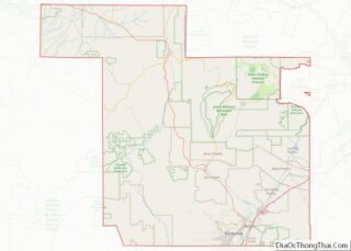
Edgewood location map. Where is Edgewood town?


History
Homesteaders moving into the American West created the initial settlements that grew into what is now the town of Edgewood. Taking advantage of the federal Homestead Acts, pioneer families obtained land claims and began farming and ranching in the Edgewood area during the late 19th and early 20th centuries.
Edgewood was founded by a group of southern Santa Fe County residents and landowners. After the incorporation of the town in 1999, large areas of land were annexed. Efforts by the town government to avoid annexing properties whose owners did not wish to be brought within the town boundaries resulted in a checkerboard pattern of incorporated and unincorporated properties, one of the issues to be resolved in the town’s Comprehensive Plan. One controversial annexation greatly enlarged the municipal boundaries and was the source of vigorous public debate. Despite two appeals and one lawsuit, the annexation was upheld. Recent construction projects have brought in a Tractor Supply Co. store, an O’Reilly Auto Parts, a Denny’s, and a Comfort Inn & Suites, the town’s first hotel.
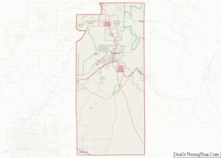
Edgewood Road Map
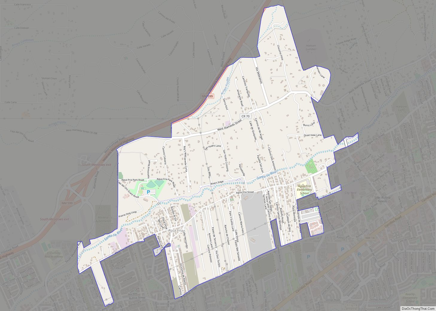
Edgewood city Satellite Map

Geography
Edgewood is located at 35°4′4″N 106°11′29″W / 35.06778°N 106.19139°W / 35.06778; -106.19139 (35.067690, -106.191463), 33 miles (53 km) east of Albuquerque along Interstate 40.
According to the United States Census Bureau, the town has a total area of 48.7 square miles (126.2 km), all land except for 0.015 square miles (0.04 km) of water, covering 0.03% of the town. It is located within the Estancia Valley, east of the Sandia Mountains and Manzano Mountains of central New Mexico. Most of the land cover in the area is woodland or grassland. The town’s commercial district lies along New Mexico Highway 66 (part of the post-1937 U.S. Route 66) and Highway 344. The town is 15 miles (24 km) east of the community of Sandia Park and the east base of the Sandia Mountains.
See also
Map of New Mexico State and its subdivision: Map of other states:- Alabama
- Alaska
- Arizona
- Arkansas
- California
- Colorado
- Connecticut
- Delaware
- District of Columbia
- Florida
- Georgia
- Hawaii
- Idaho
- Illinois
- Indiana
- Iowa
- Kansas
- Kentucky
- Louisiana
- Maine
- Maryland
- Massachusetts
- Michigan
- Minnesota
- Mississippi
- Missouri
- Montana
- Nebraska
- Nevada
- New Hampshire
- New Jersey
- New Mexico
- New York
- North Carolina
- North Dakota
- Ohio
- Oklahoma
- Oregon
- Pennsylvania
- Rhode Island
- South Carolina
- South Dakota
- Tennessee
- Texas
- Utah
- Vermont
- Virginia
- Washington
- West Virginia
- Wisconsin
- Wyoming