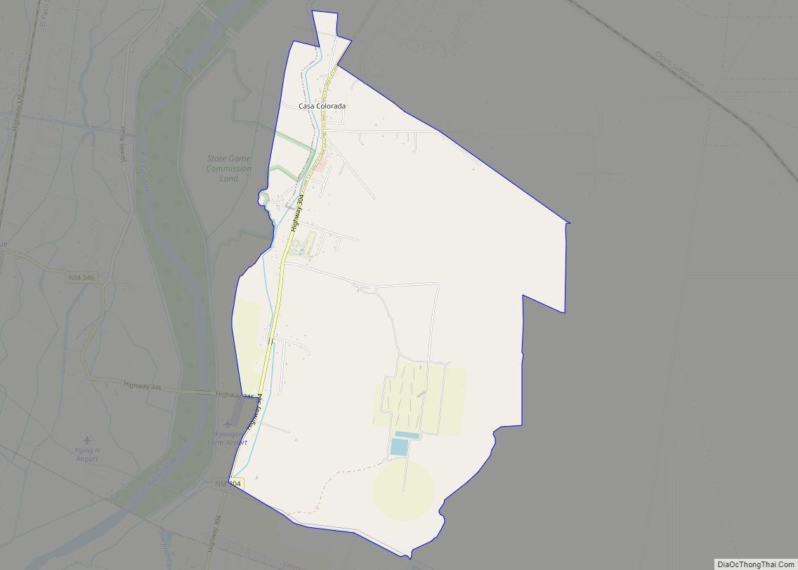
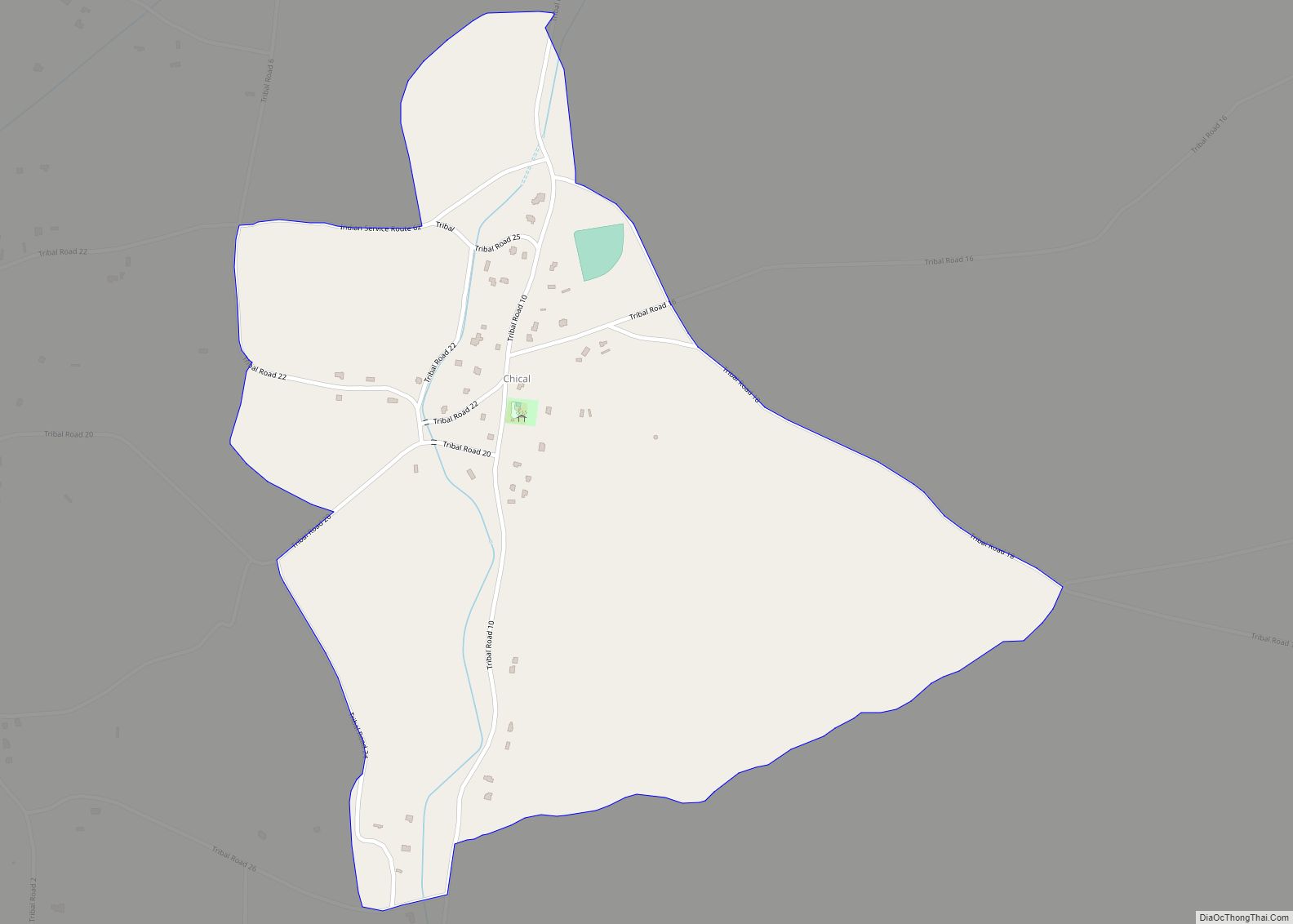
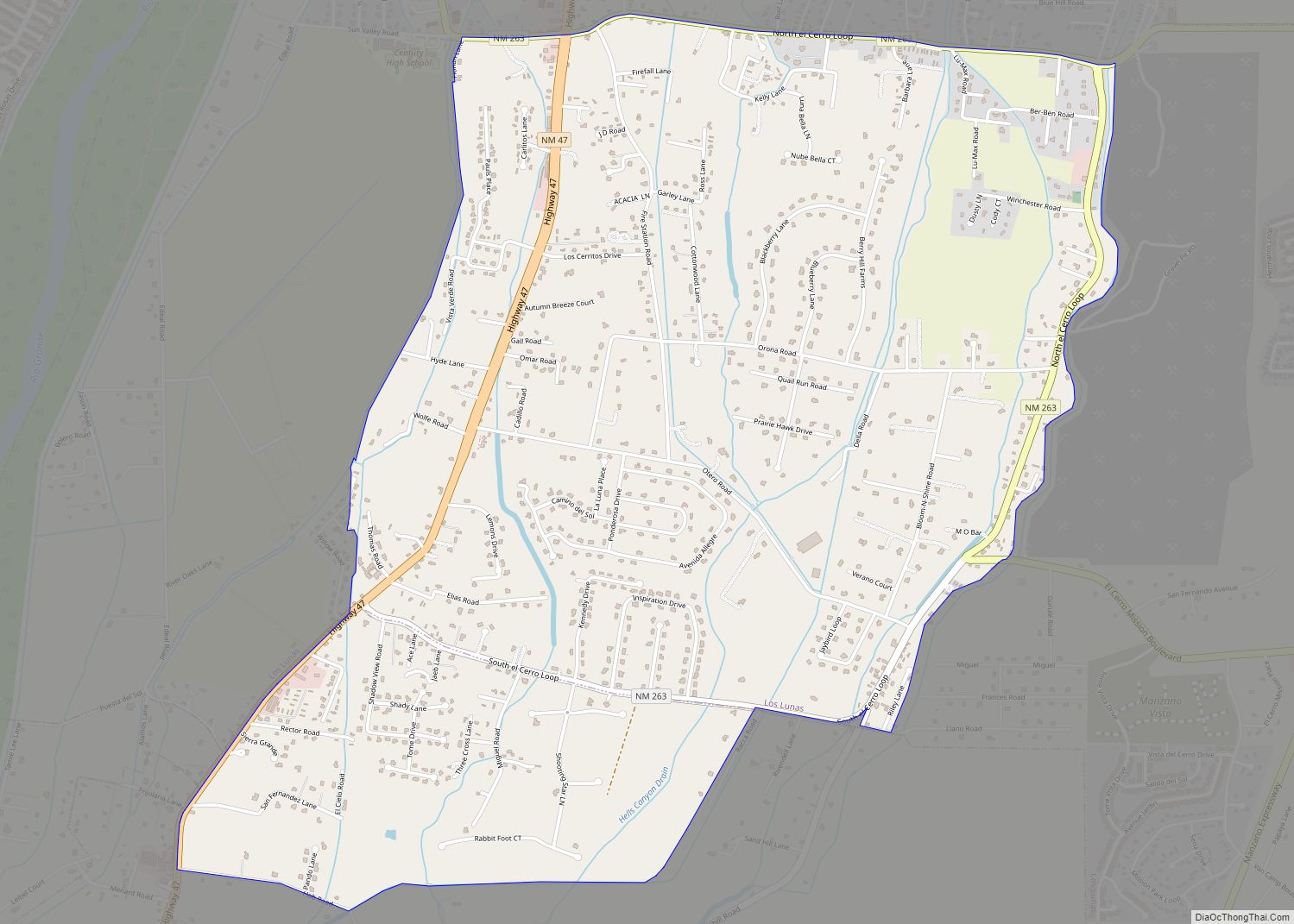
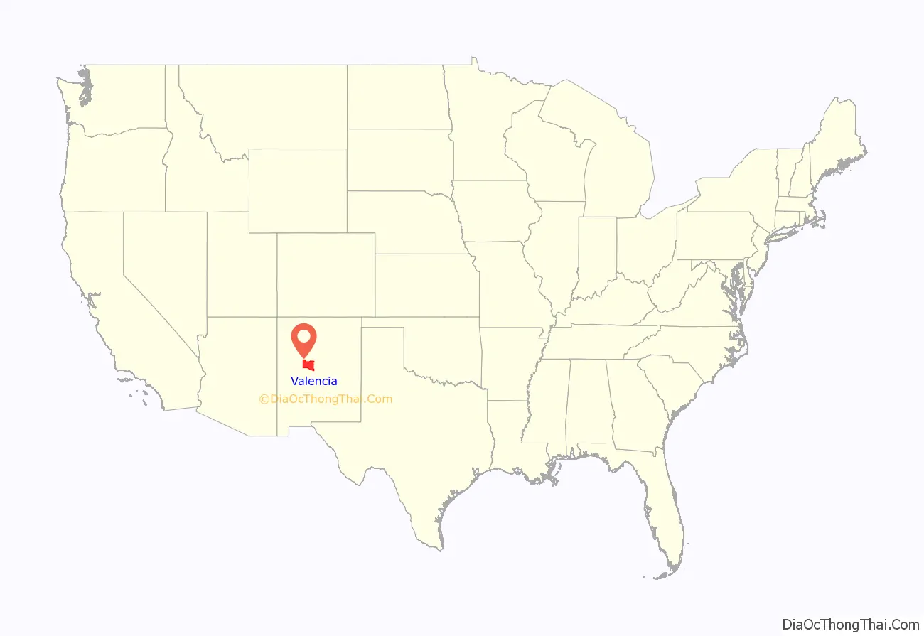
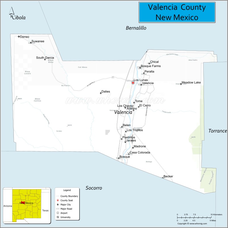
Valencia County (Spanish: Condado de Valencia) is a county in the U.S. state of New Mexico. As of the 2010 census, the population was 76,569. The county seat is Los Lunas.
Valencia County is included in the Albuquerque, NM Metropolitan Statistical Area.
The county was a significant bellwether region that held the longest record for predicting presidential election winners until 2020.
| Name: | Valencia County |
|---|---|
| FIPS code: | 35-061 |
| State: | New Mexico |
| Founded: | January 9, 1852 |
| Named for: | Valencia, New Mexico |
| Seat: | Los Lunas |
| Total Area: | 1,068 sq mi (2,770 km²) |
| Land Area: | 1,066 sq mi (2,760 km²) |
| Total Population: | 76,569 |
| Population Density: | 72/sq mi (28/km²) |
| Time zone: | UTC−7 (Mountain) |
| Summer Time Zone (DST): | UTC−6 (MDT) |
| Website: | www.co.valencia.nm.us |
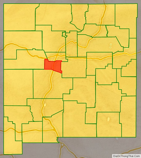
Valencia County location map. Where is Valencia County?
History
The county, which was formerly much larger in area, lost almost 81 percent of its territory on 19 June 1981, upon the creation of Cibola County, which occupies the westernmost portion of Valencia County’s former area.
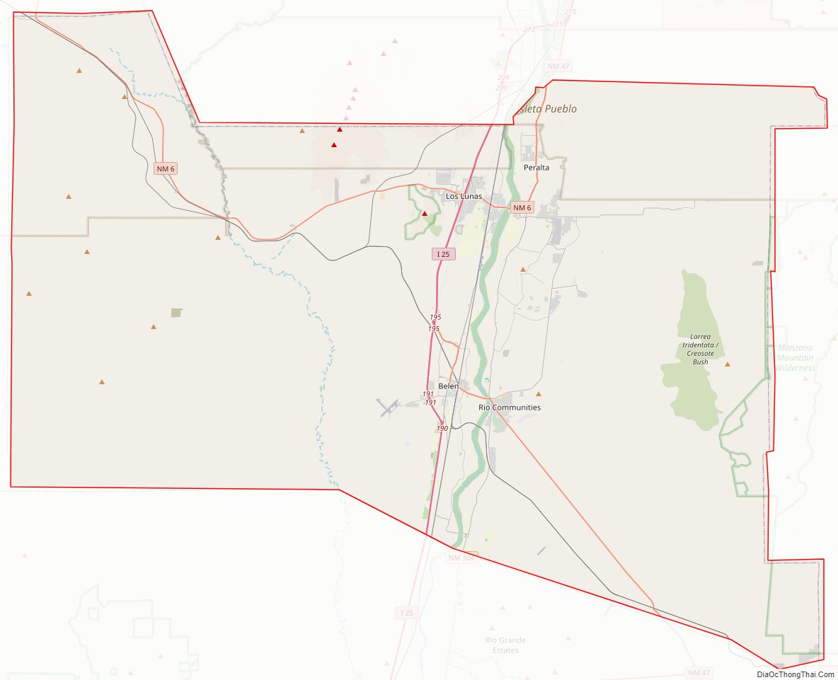
Valencia County Road Map
Geography
According to the U.S. Census Bureau, the county has a total area of 1,068 square miles (2,770 km), of which 1,066 square miles (2,760 km) is land and 2.1 square miles (5.4 km) (0.2%) is water. It is the second-smallest county in New Mexico by area.
Adjacent counties
- Bernalillo County – north
- Torrance County – east
- Socorro County – south
- Cibola County – west
National protected areas
- Cibola National Forest (part)
- El Camino Real de Tierra Adentro National Historic Trail (part)
- Manzano Wilderness (part)
Other protected areas
- Whitfield Wildlife Conservation Area, est. 2003
Valencia County Topographic Map
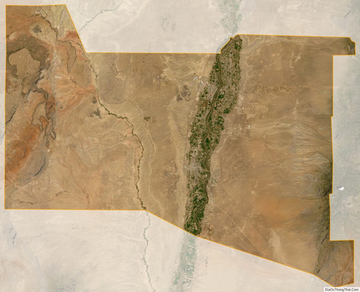
Valencia County Satellite Map
Valencia County Outline Map