Arcadia is a town in, and the parish seat of, Bienville Parish in northern Louisiana, United States. The population was 2,919 at the 2010 census. Arcadia has the highest elevation of any incorporated municipality in Louisiana. Arcadia’s name commemorates the Ancient Greek region of Arcadia.
| Name: | Arcadia town |
|---|---|
| LSAD Code: | 43 |
| LSAD Description: | town (suffix) |
| State: | Louisiana |
| County: | Bienville Parish |
| Incorporated: | 1855 |
| Elevation: | 384 ft (117 m) |
| Total Area: | 3.67 sq mi (9.51 km²) |
| Land Area: | 3.65 sq mi (9.44 km²) |
| Water Area: | 0.03 sq mi (0.07 km²) |
| Total Population: | 2,746 |
| Population Density: | 753.36/sq mi (290.84/km²) |
| ZIP code: | 71001 |
| Area code: | 318 |
| FIPS code: | 2202655 |
| Website: | www.arcadialouisiana.org |
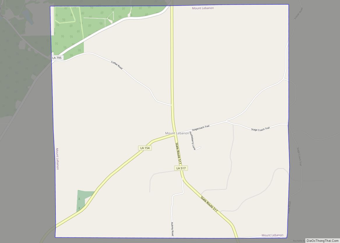
Online Interactive Map
Click on ![]() to view map in "full screen" mode.
to view map in "full screen" mode.
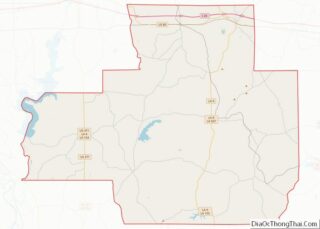
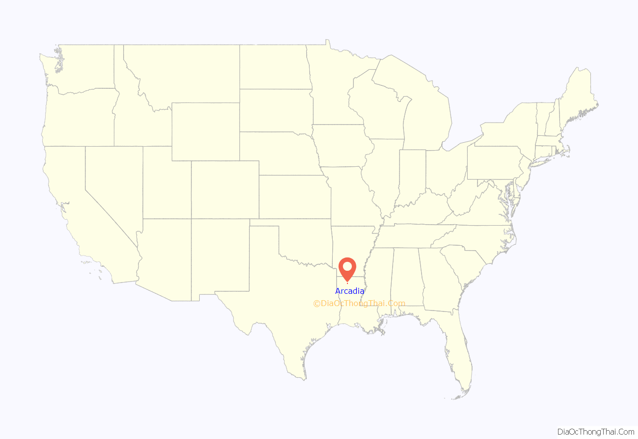
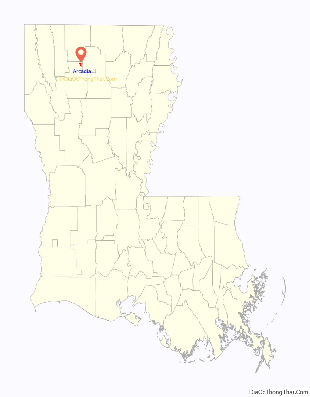
Arcadia location map. Where is Arcadia town?
History
In 1934, bank robbers Bonnie and Clyde were killed near Arcadia in a shootout. Their bodies were brought for embalming to a furniture store in Arcadia which also served as a funeral parlor. Enormous crowds of onlookers descended upon the city when news of the pair’s deaths there became public.
Arcadia has been a center of the poultry industry, with up to 300 independent growers for years supplying the local feed mill operated by poultry company Pilgrim’s Pride. In 2009 the company, facing bankruptcy, announced that it would close most of its Louisiana operations, including plants in Arcadia, Athens, Choudrant, and Farmerville; these operations were estimated to have provided a combined 1,300 jobs. Several weeks later, Pilgrim’s Pride accepted an $80 million offer from Foster Farms of California to purchase their operations and keep the plants running. Foster Farms put up $40 million of the purchase price, with the other $40 million covered by the State of Louisiana.
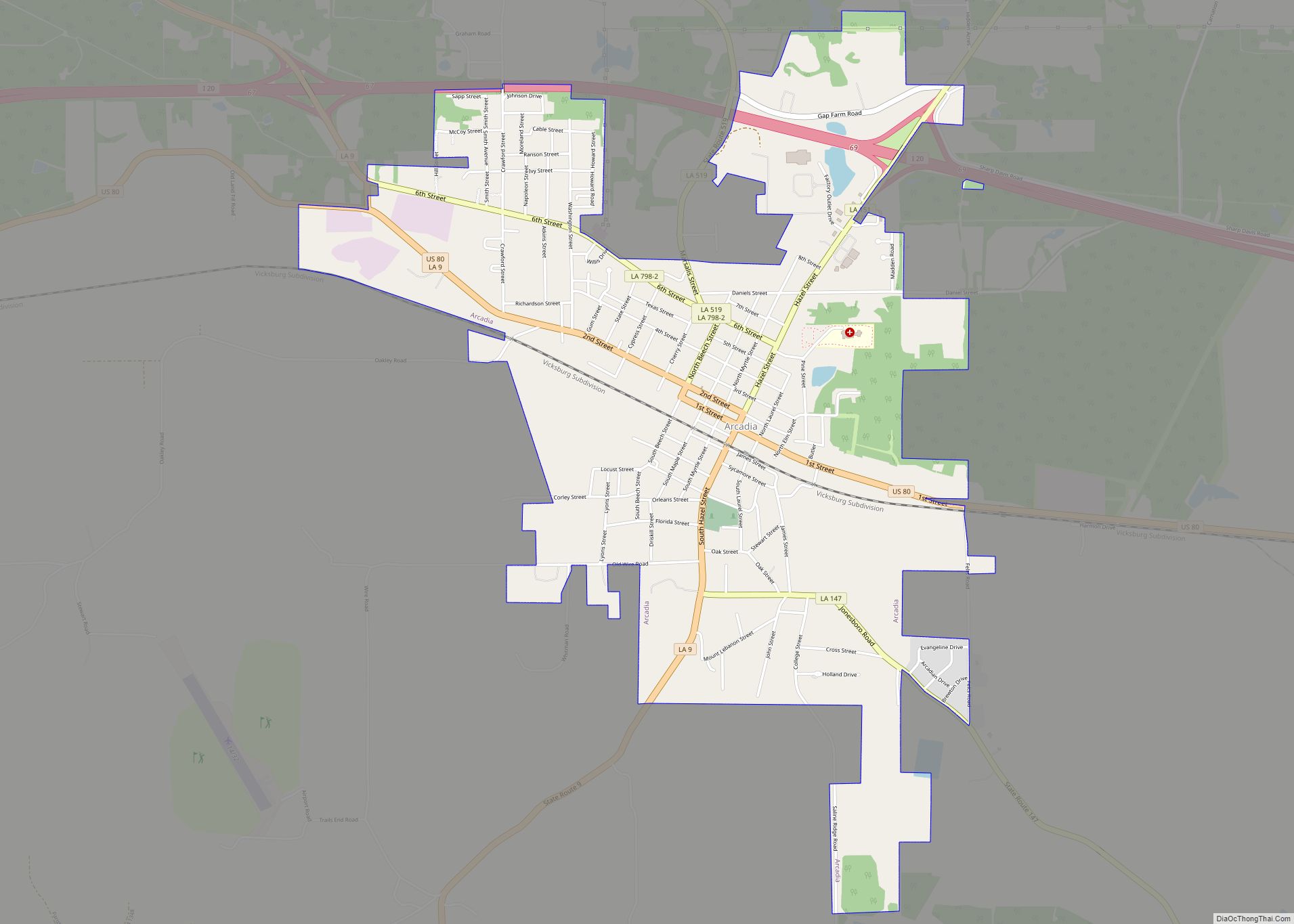
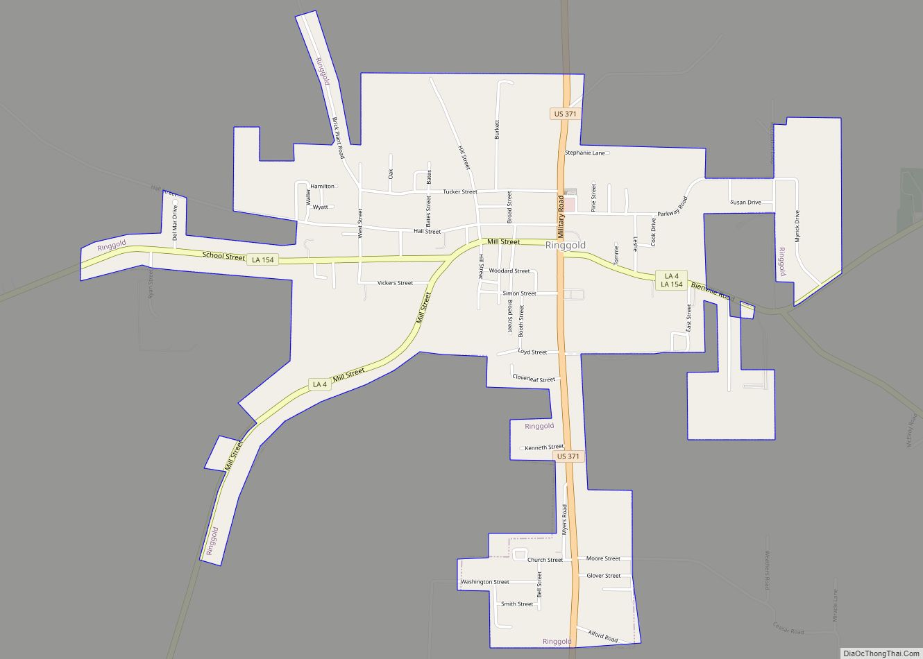
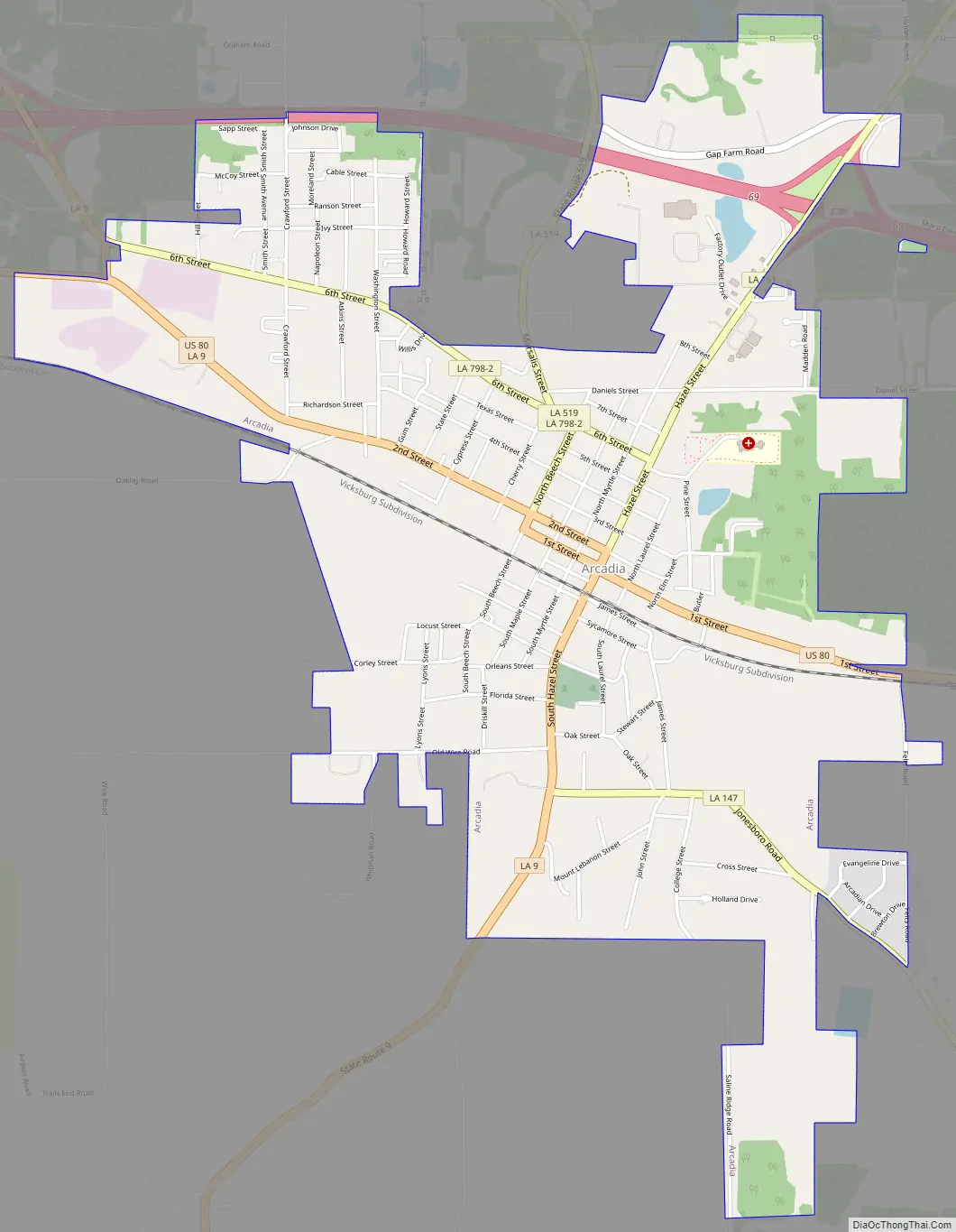
Arcadia Road Map
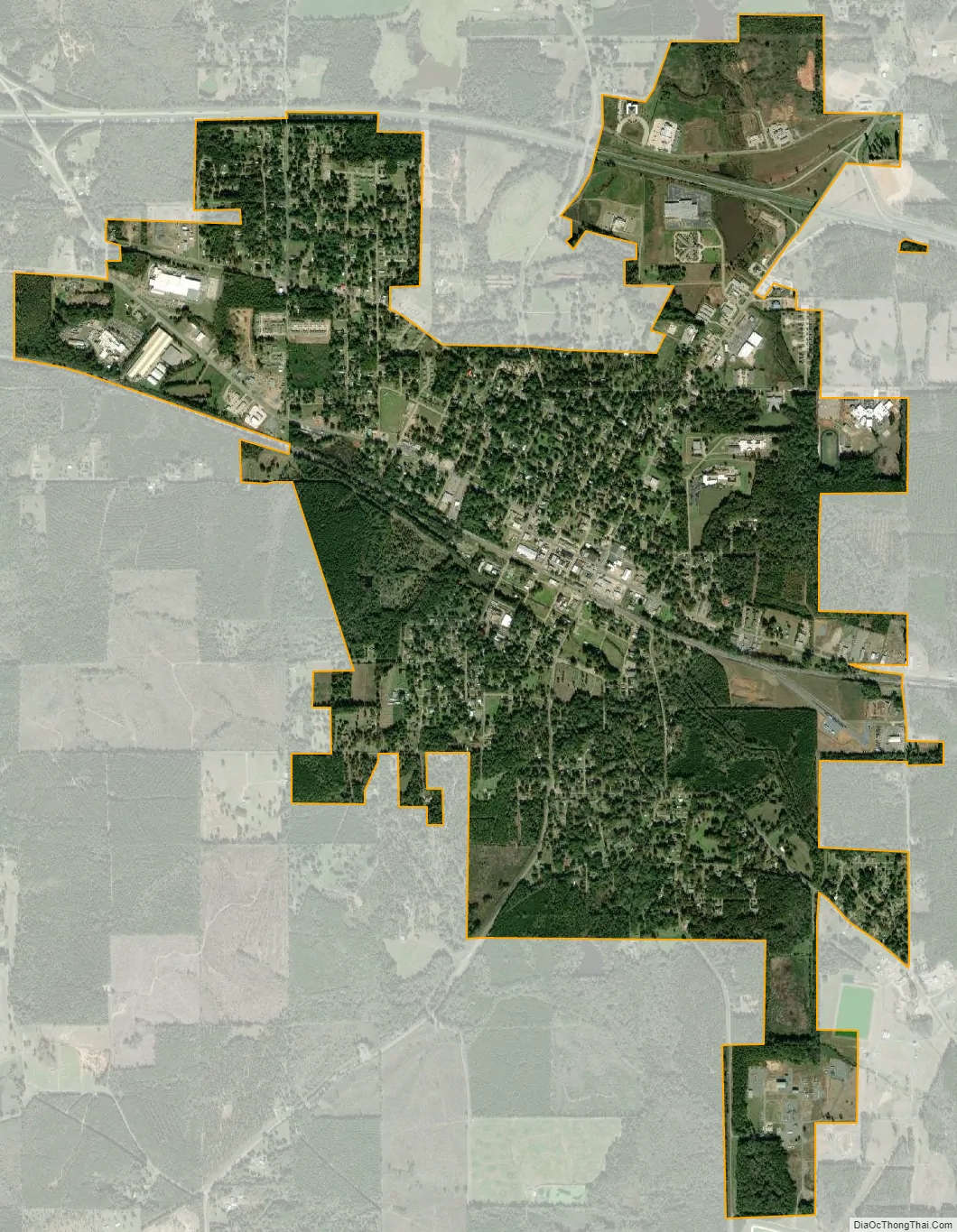
Arcadia city Satellite Map
Geography
Arcadia is located at 32°33′7″N 92°55′27″W / 32.55194°N 92.92417°W / 32.55194; -92.92417 (32.551931, −92.924233) and has an elevation of 384 feet (117.0 m) above sea level. According to the United States Census Bureau, the town has a total area of 3.1 square miles (7.9 km), all land. It is 50 miles (80 km) east of Shreveport.
See also
Map of Louisiana State and its subdivision:- Acadia
- Allen
- Ascension
- Assumption
- Avoyelles
- Beauregard
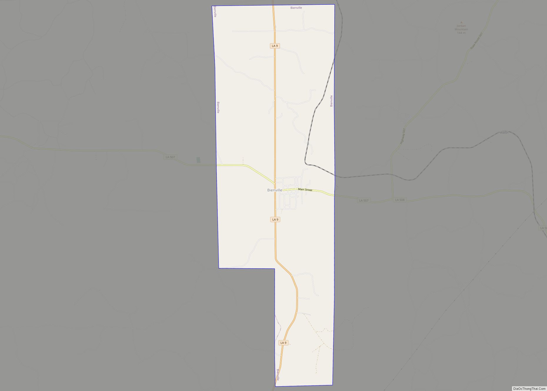
- Bienville
- Bossier
- Caddo
- Calcasieu
- Caldwell
- Cameron
- Catahoula
- Claiborne
- Concordia
- De Soto
- East Baton Rouge
- East Carroll
- East Feliciana
- Evangeline
- Franklin
- Grant
- Iberia
- Iberville
- Jackson
- Jefferson
- Jefferson Davis
- La Salle
- Lafayette
- Lafourche
- Lincoln
- Livingston
- Madison
- Morehouse
- Natchitoches
- Orleans
- Ouachita
- Plaquemines
- Pointe Coupee
- Rapides
- Red River
- Richland
- Sabine
- Saint Bernard
- Saint Charles
- Saint Helena
- Saint James
- Saint John the Baptist
- Saint Landry
- Saint Martin
- Saint Mary
- Saint Tammany
- Tangipahoa
- Tensas
- Terrebonne
- Union
- Vermilion
- Vernon
- Washington
- Webster
- West Baton Rouge
- West Carroll
- West Feliciana
- Winn
- Alabama
- Alaska
- Arizona
- Arkansas
- California
- Colorado
- Connecticut
- Delaware
- District of Columbia
- Florida
- Georgia
- Hawaii
- Idaho
- Illinois
- Indiana
- Iowa
- Kansas
- Kentucky
- Louisiana
- Maine
- Maryland
- Massachusetts
- Michigan
- Minnesota
- Mississippi
- Missouri
- Montana
- Nebraska
- Nevada
- New Hampshire
- New Jersey
- New Mexico
- New York
- North Carolina
- North Dakota
- Ohio
- Oklahoma
- Oregon
- Pennsylvania
- Rhode Island
- South Carolina
- South Dakota
- Tennessee
- Texas
- Utah
- Vermont
- Virginia
- Washington
- West Virginia
- Wisconsin
- Wyoming