Pineville is a city in Rapides Parish, Louisiana, United States. It is located across the Red River from the larger Alexandria. Pineville is hence part of the Alexandria Metropolitan Statistical Area. The population was 14,555 at the 2010 census. It had been 13,829 in 2000; population hence grew by 5 percent over the preceding decade.
The Central Louisiana State Hospital, the Pinecrest Supports and Services Center, the Huey P. Long Memorial Hospital (closed), the Alexandria Veterans Administration Medical Center, and the Alexandria National Cemetery are all located in Pineville. The city is also home to several large non-government employers including Baker Manufacturing, Procter & Gamble, and Crest Industries.
| Name: | Pineville city |
|---|---|
| LSAD Code: | 25 |
| LSAD Description: | city (suffix) |
| State: | Louisiana |
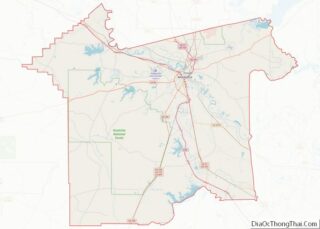
| County: | Rapides Parish |
| Elevation: | 118 ft (36 m) |
| Total Area: | 13.14 sq mi (34.04 km²) |
| Land Area: | 12.62 sq mi (32.68 km²) |
| Water Area: | 0.52 sq mi (1.36 km²) |
| Total Population: | 14,384 |
| Population Density: | 1,139.96/sq mi (440.15/km²) |
| ZIP code: | 71360 |
| FIPS code: | 2260530 |
| Website: | www.pineville.net |
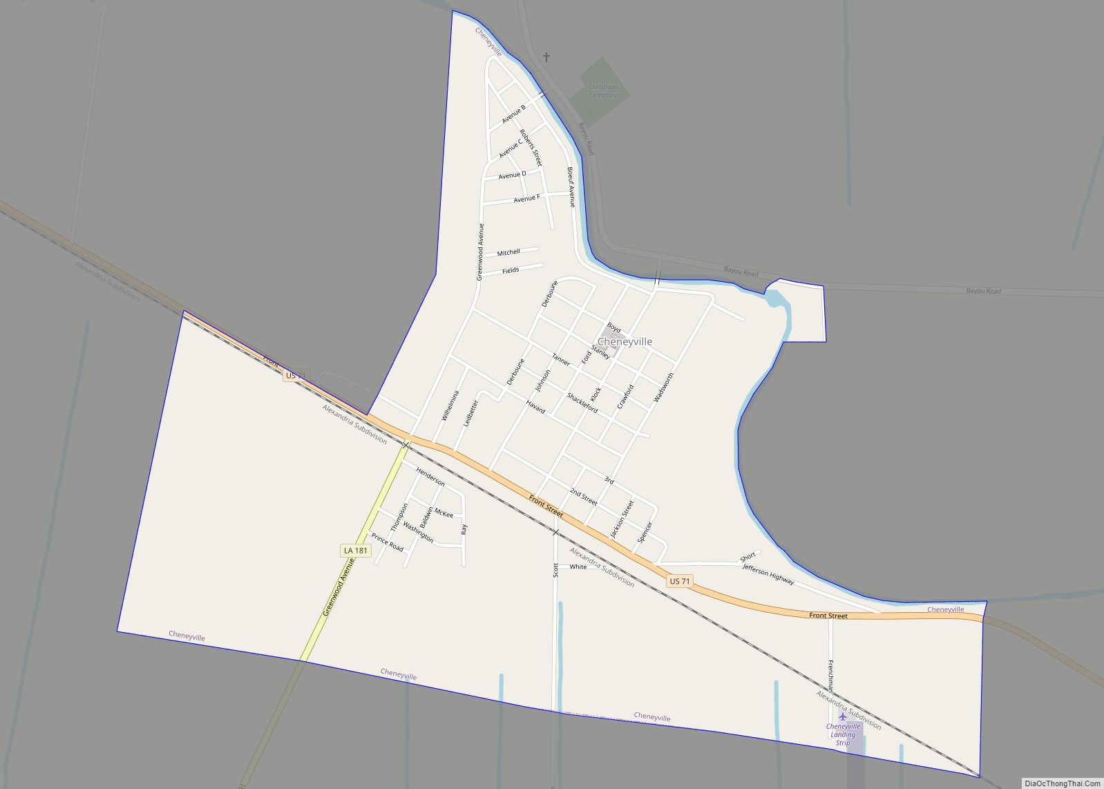
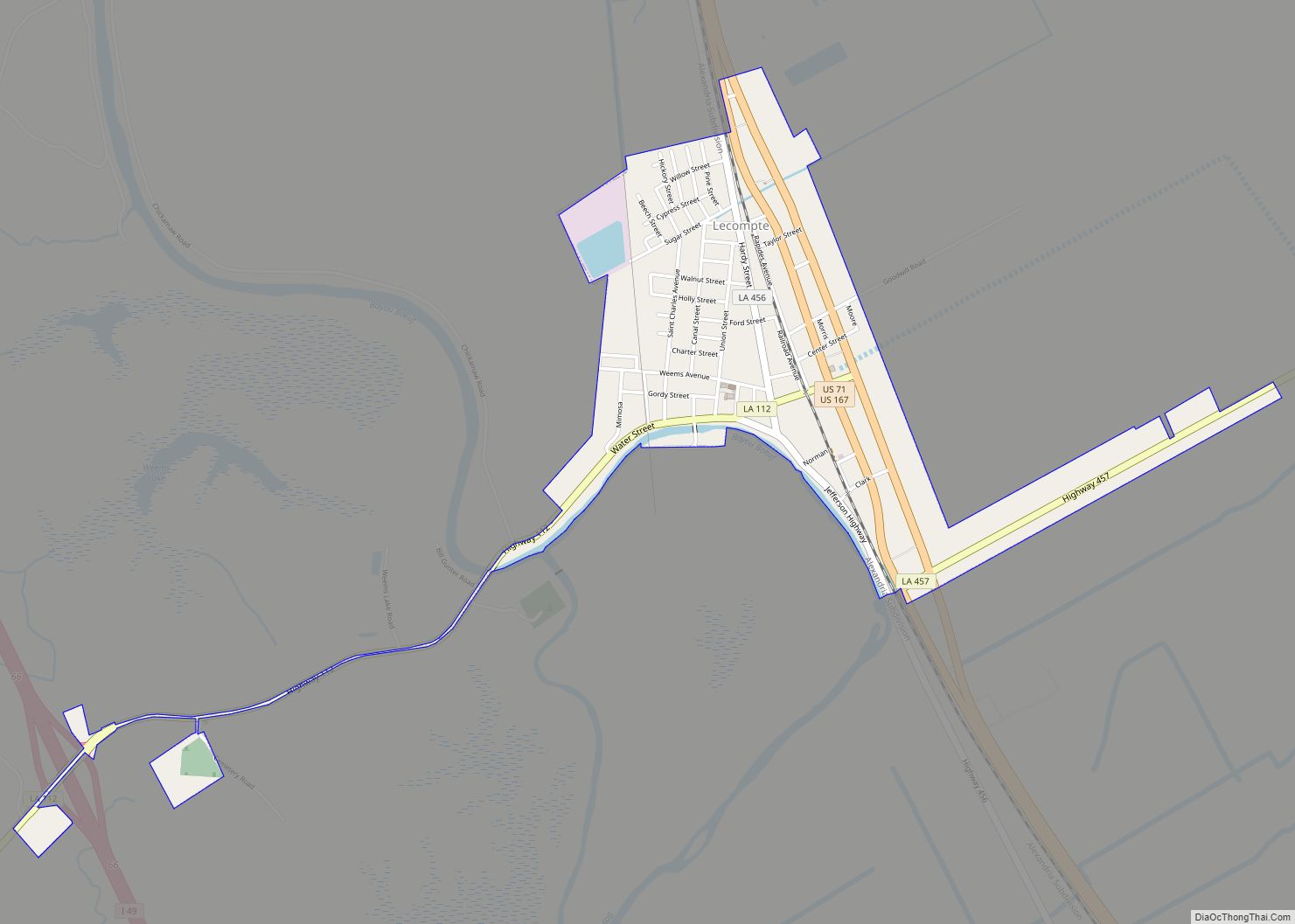
Online Interactive Map
Click on ![]() to view map in "full screen" mode.
to view map in "full screen" mode.
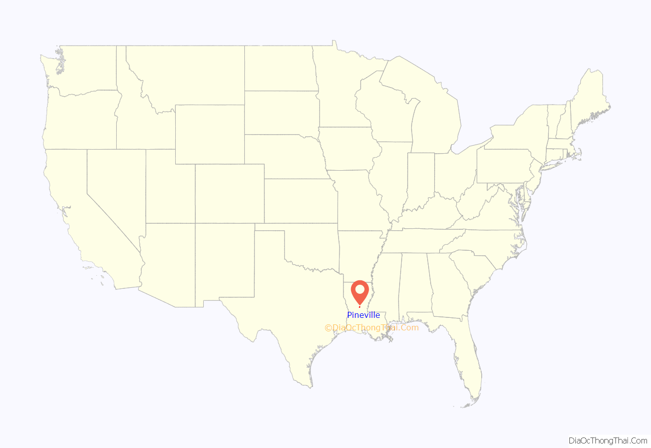
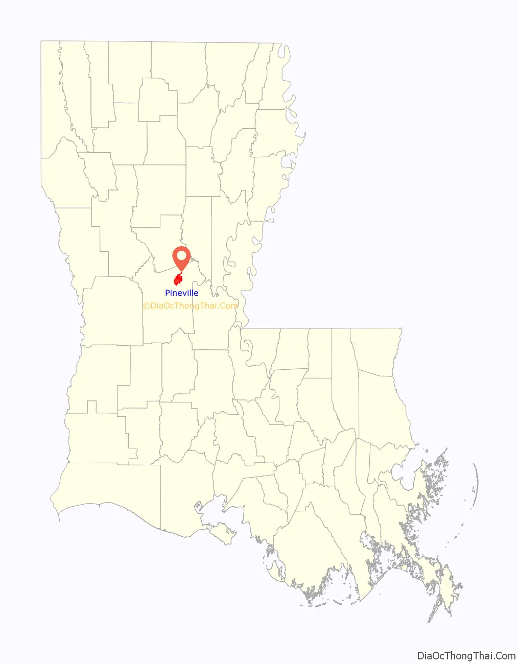
Pineville location map. Where is Pineville city?
History
Louisiana State University was founded by the Louisiana General Assembly in 1853. It was founded under the name Louisiana State Seminary of Learning & Military Academy and was located near Pineville. The first academic session began on January 2, 1860, with General William Tecumseh Sherman of Ohio as superintendent.
Pineville was historically a “dry” city, with no alcohol legally available in the community. In a referendum held in the 1980s, voters continued to support a ban on alcohol. Mayor Clarence Fields, who took office in 1999, supported holding another referendum to permit the sale of liquor in restaurants. In a special election in 2013, voters approved liquor sales in restaurants.
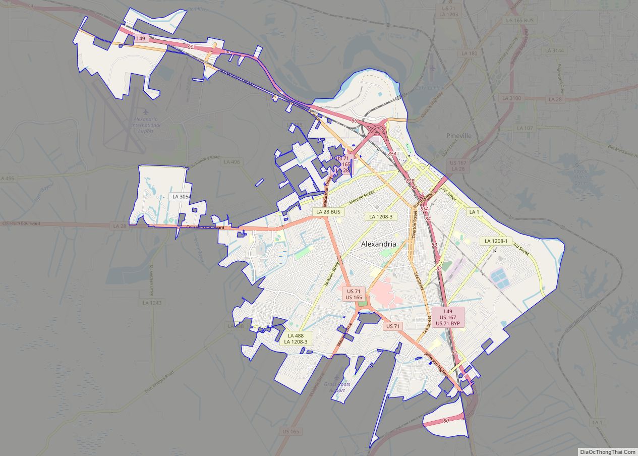
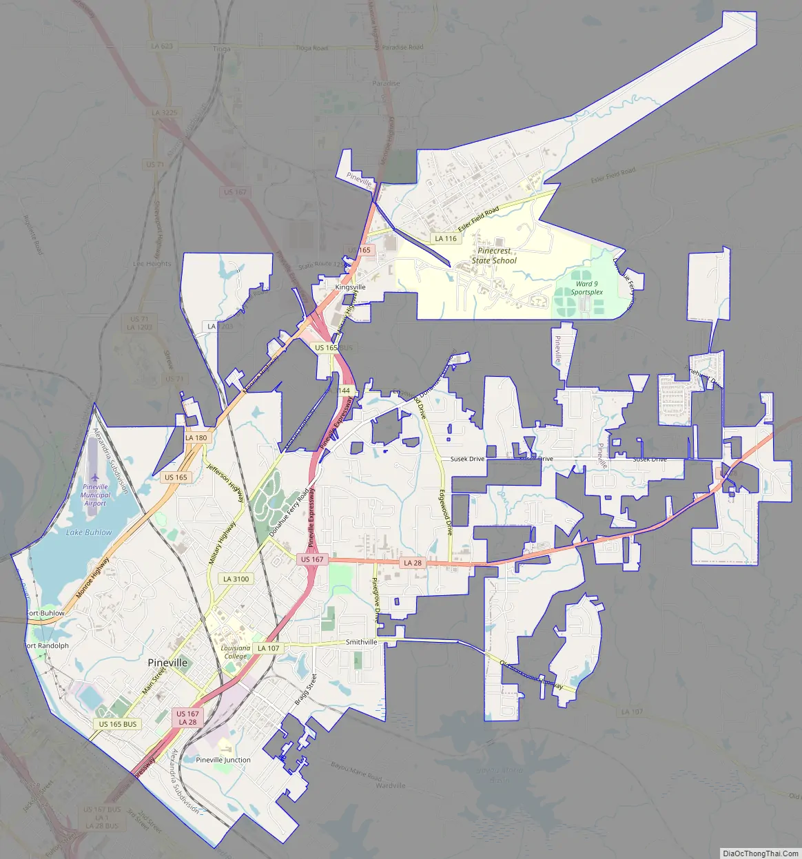
Pineville Road Map
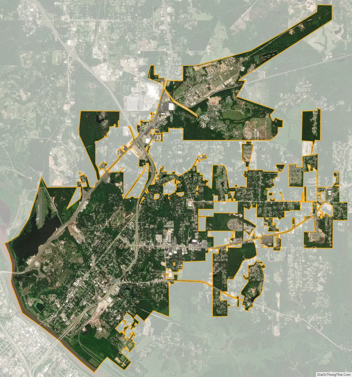
Pineville city Satellite Map
Geography
According to the United States Census Bureau, the city has a total area of 12.1 square miles (31.3 km), of which 11.5 square miles (29.7 km) is land and 0.6 square mile (1.6 km) (4.97%) is water.
Climate
This climatic region is typified by large seasonal temperature differences, with warm to hot and humid summers and mild winters. According to the Köppen Climate Classification system, Pineville has a humid subtropical climate, abbreviated “Cfa” on climate maps.
See also
Map of Louisiana State and its subdivision:- Acadia
- Allen
- Ascension
- Assumption
- Avoyelles
- Beauregard
- Bienville
- Bossier
- Caddo
- Calcasieu
- Caldwell
- Cameron
- Catahoula
- Claiborne
- Concordia
- De Soto
- East Baton Rouge
- East Carroll
- East Feliciana
- Evangeline
- Franklin
- Grant
- Iberia
- Iberville
- Jackson
- Jefferson
- Jefferson Davis
- La Salle
- Lafayette
- Lafourche
- Lincoln
- Livingston
- Madison
- Morehouse
- Natchitoches
- Orleans
- Ouachita
- Plaquemines
- Pointe Coupee
- Rapides
- Red River
- Richland
- Sabine
- Saint Bernard
- Saint Charles
- Saint Helena
- Saint James
- Saint John the Baptist
- Saint Landry
- Saint Martin
- Saint Mary
- Saint Tammany
- Tangipahoa
- Tensas
- Terrebonne
- Union
- Vermilion
- Vernon
- Washington
- Webster
- West Baton Rouge
- West Carroll
- West Feliciana
- Winn
- Alabama
- Alaska
- Arizona
- Arkansas
- California
- Colorado
- Connecticut
- Delaware
- District of Columbia
- Florida
- Georgia
- Hawaii
- Idaho
- Illinois
- Indiana
- Iowa
- Kansas
- Kentucky
- Louisiana
- Maine
- Maryland
- Massachusetts
- Michigan
- Minnesota
- Mississippi
- Missouri
- Montana
- Nebraska
- Nevada
- New Hampshire
- New Jersey
- New Mexico
- New York
- North Carolina
- North Dakota
- Ohio
- Oklahoma
- Oregon
- Pennsylvania
- Rhode Island
- South Carolina
- South Dakota
- Tennessee
- Texas
- Utah
- Vermont
- Virginia
- Washington
- West Virginia
- Wisconsin
- Wyoming