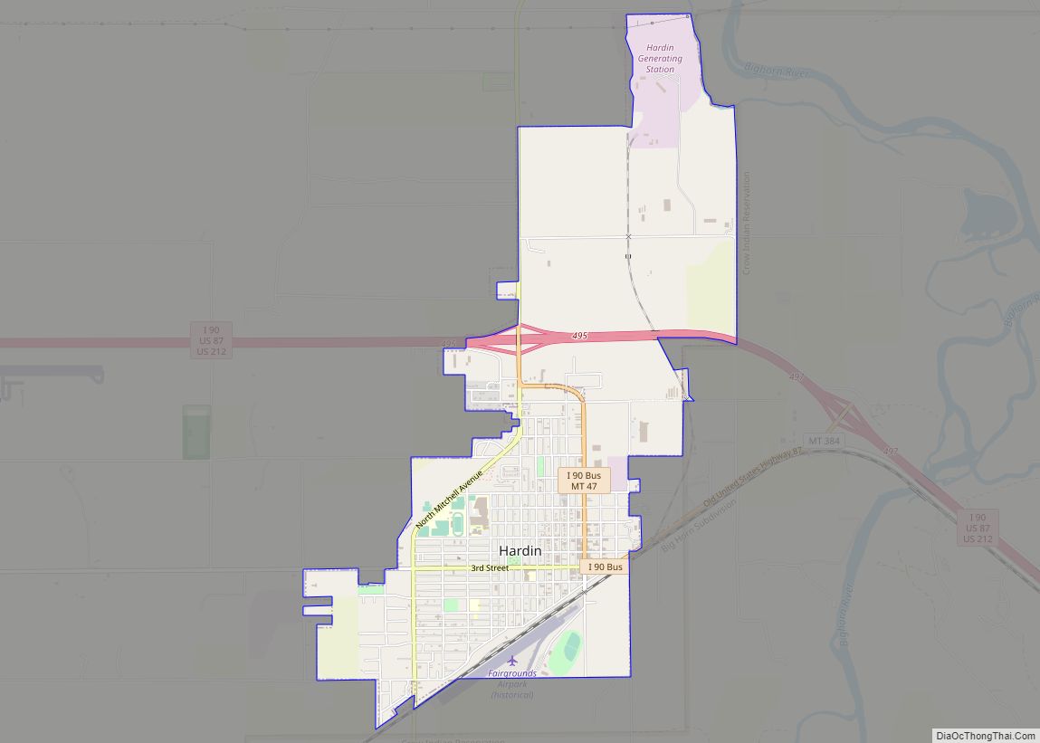
Hardin is a city in and the county seat of Big Horn County, Montana, United States. The population was 3,818 at the 2020 census.
It is located just north of the Crow Indian Reservation.
| Name: | Hardin city |
|---|---|
| LSAD Code: | 25 |
| LSAD Description: | city (suffix) |
| State: | Montana |
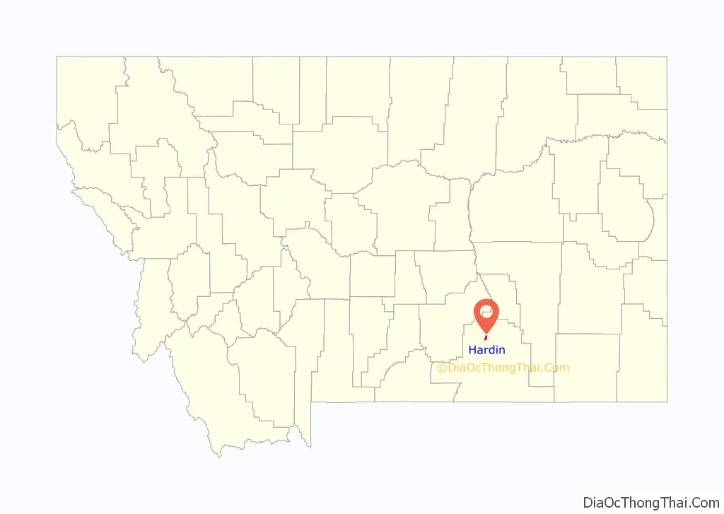
| County: | Big Horn County |
| Elevation: | 2,907 ft (886 m) |
| Total Area: | 2.97 sq mi (7.70 km²) |
| Land Area: | 2.97 sq mi (7.70 km²) |
| Water Area: | 0.00 sq mi (0.00 km²) |
| Total Population: | 3,818 |
| Population Density: | 1,284.22/sq mi (495.78/km²) |
| ZIP code: | 59034 |
| Area code: | 406 |
| FIPS code: | 3034225 |
| GNISfeature ID: | 0772140 |
| Website: | www.hardinmt.com |
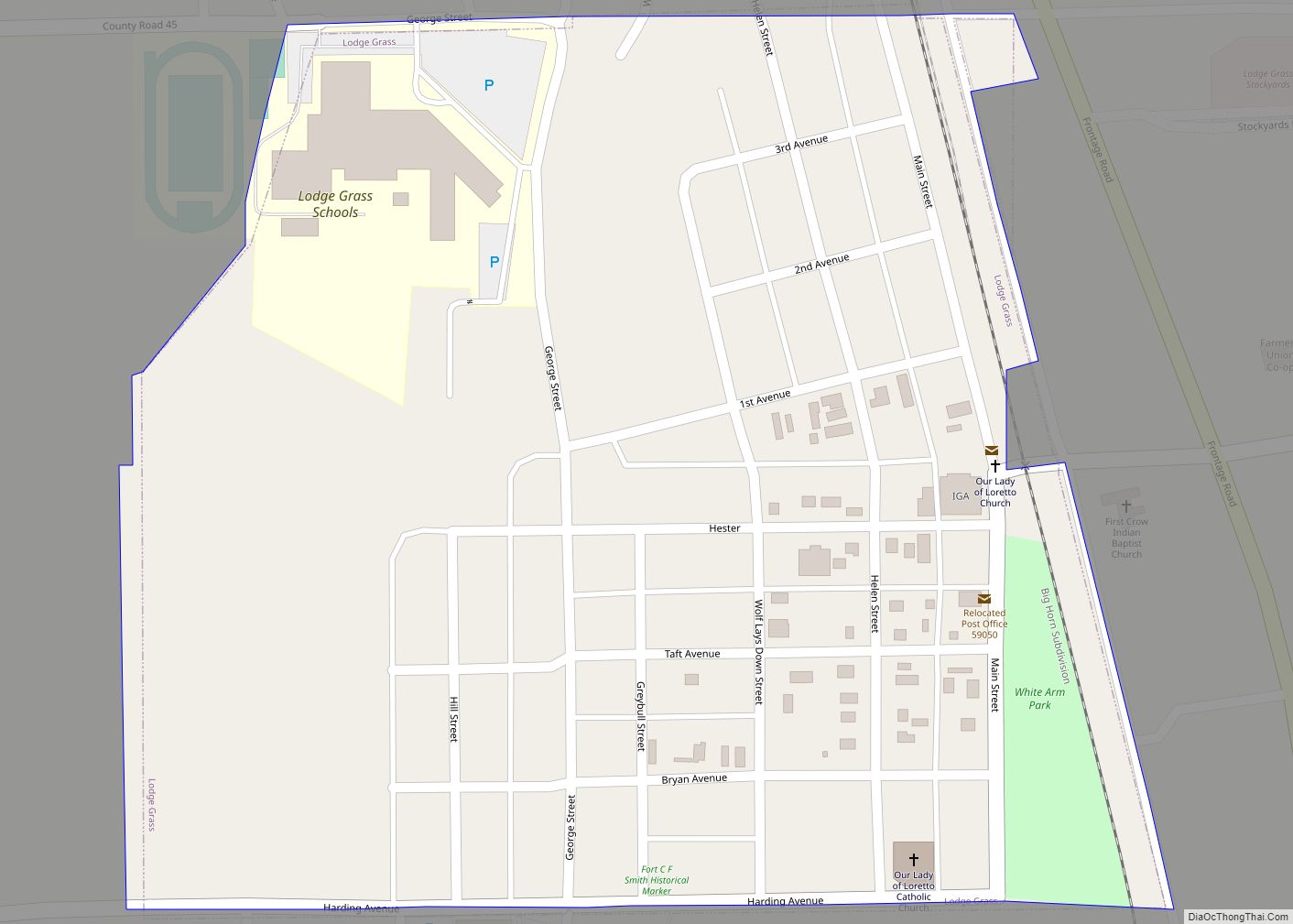
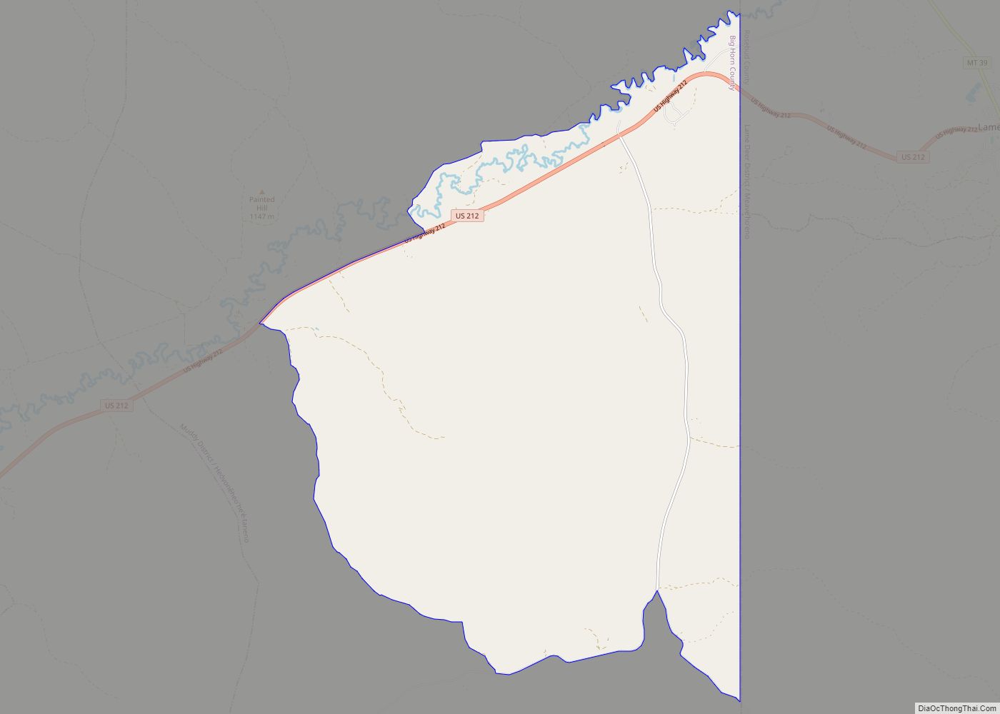
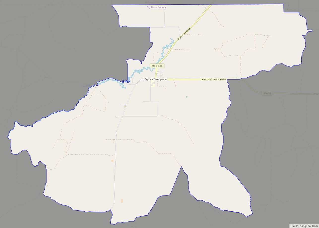
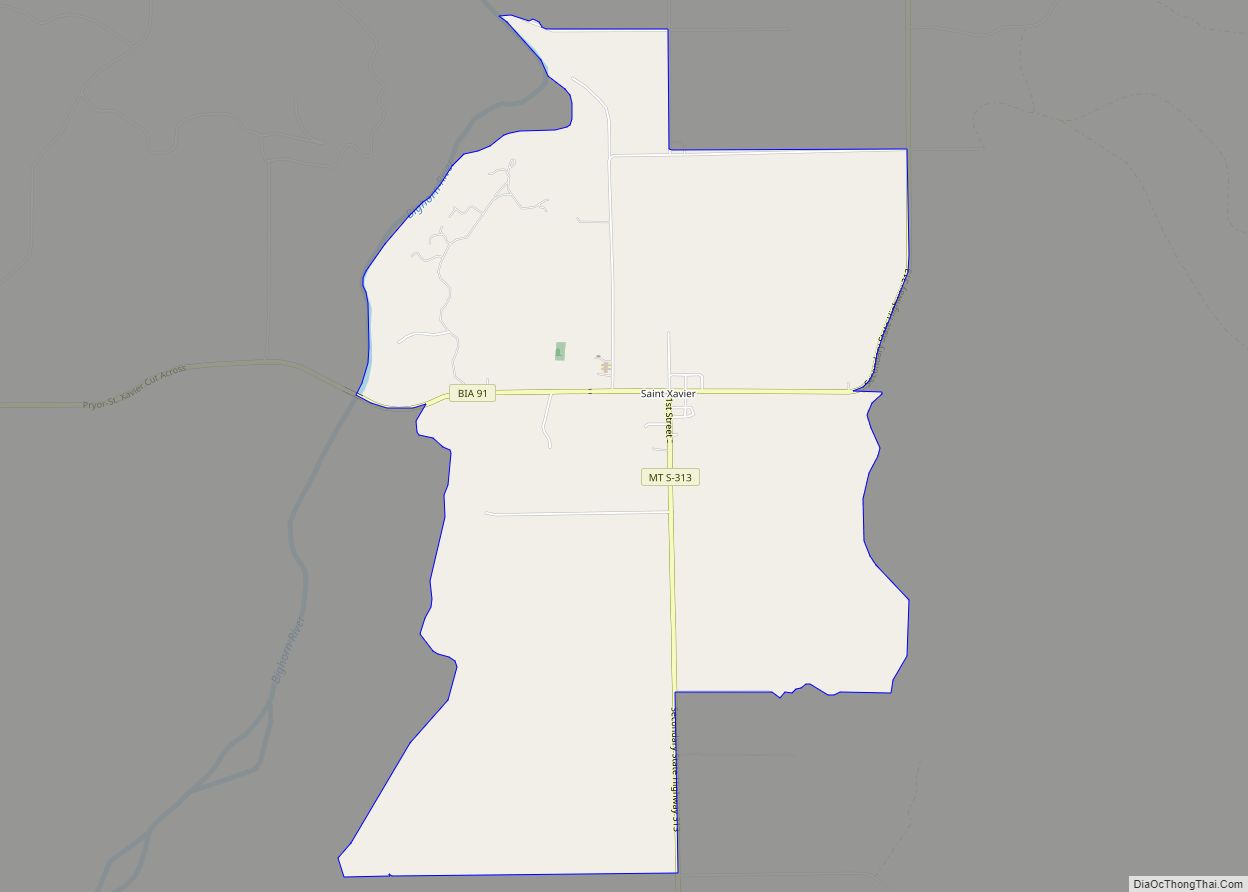
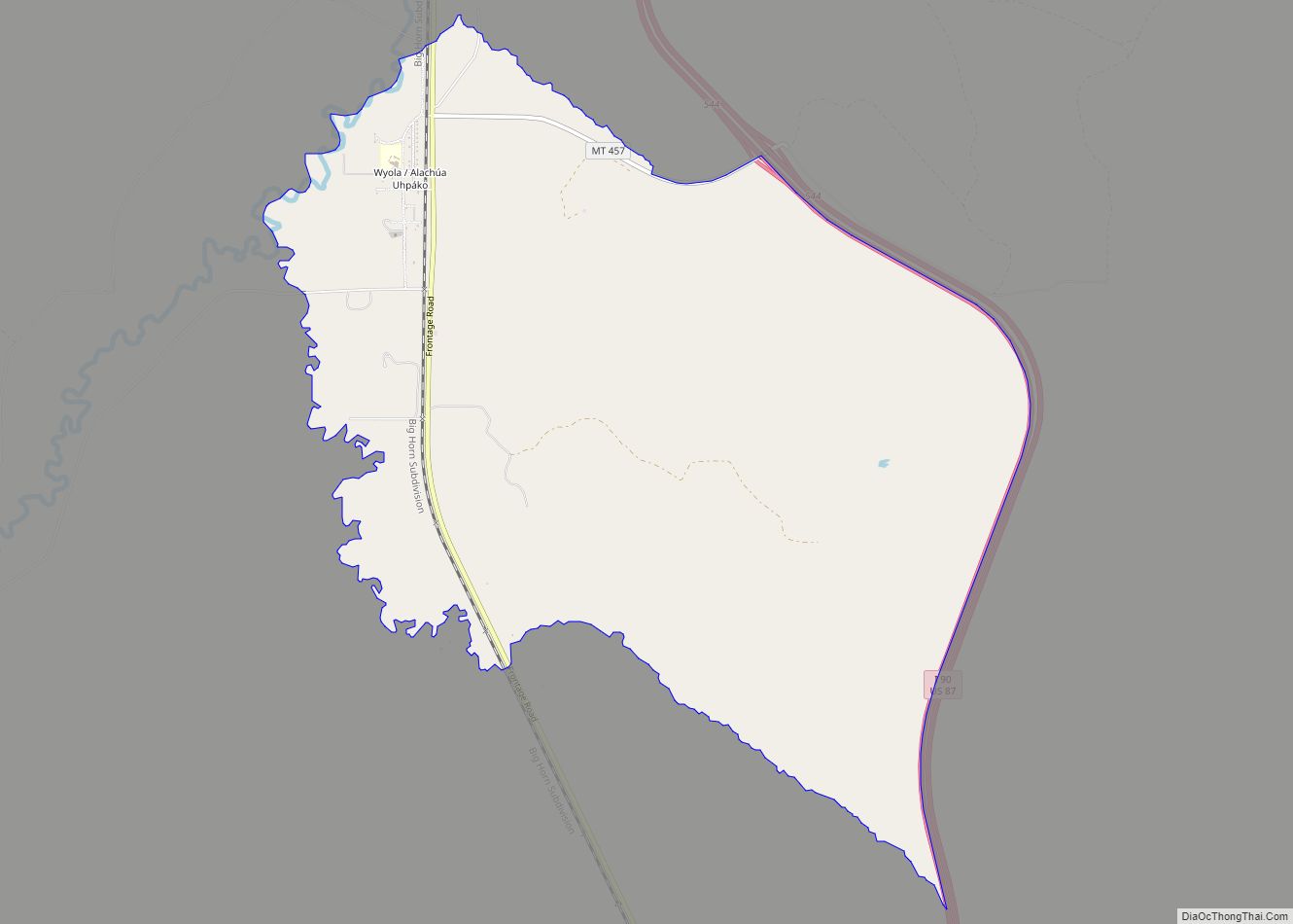
Online Interactive Map
Click on ![]() to view map in "full screen" mode.
to view map in "full screen" mode.
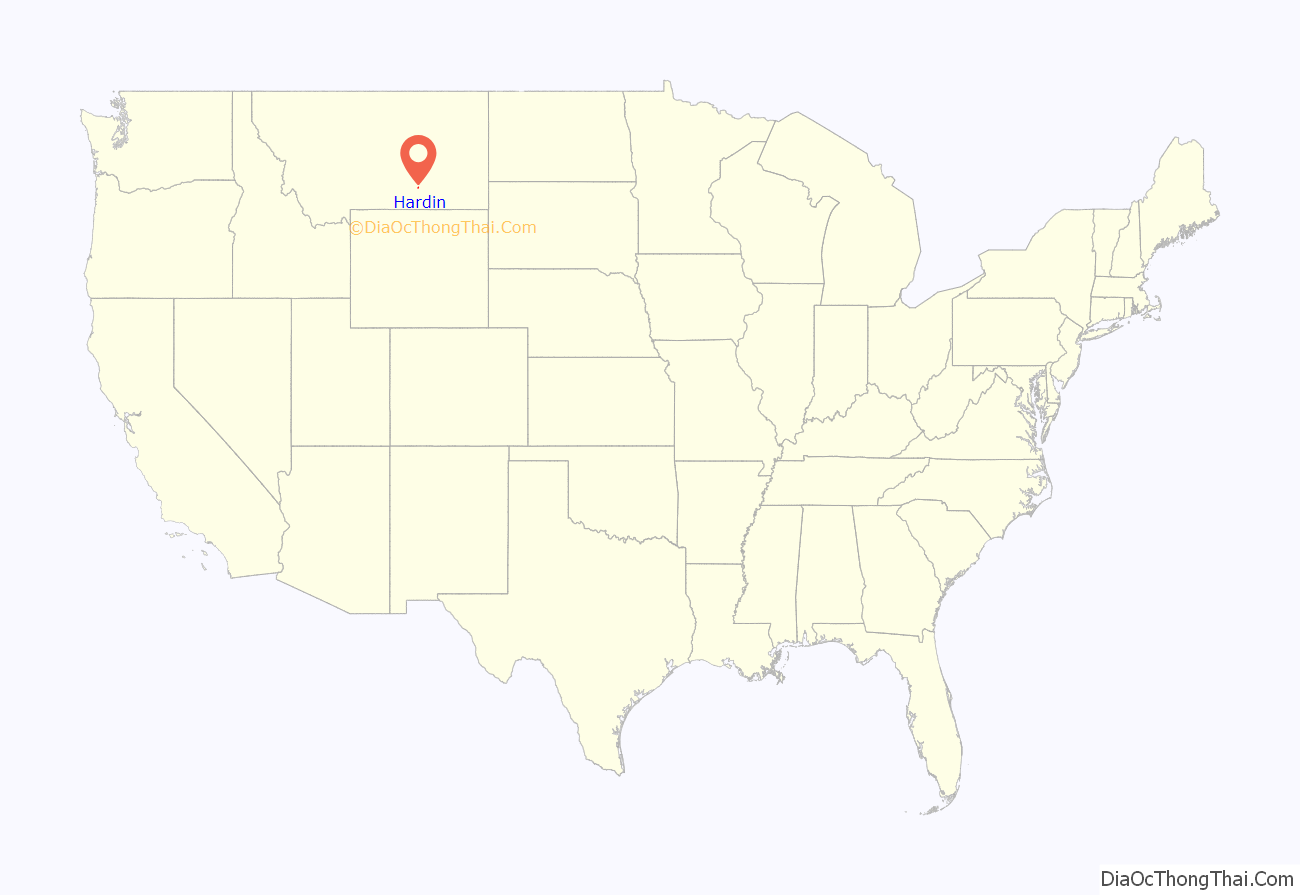
Hardin location map. Where is Hardin city?
History
The city was named for Samuel Hardin, a friend of developer Charles Henry Morrill. It was incorporated in 1911. Thomas D. Campbell operated the nation’s largest wheat farm on 95,000 acres near here and pioneered the use of industrial machinery in farming. The Holly Sugar Company established a sugar beet–processing plant in Hardin in 1937.
Hardin Road Map
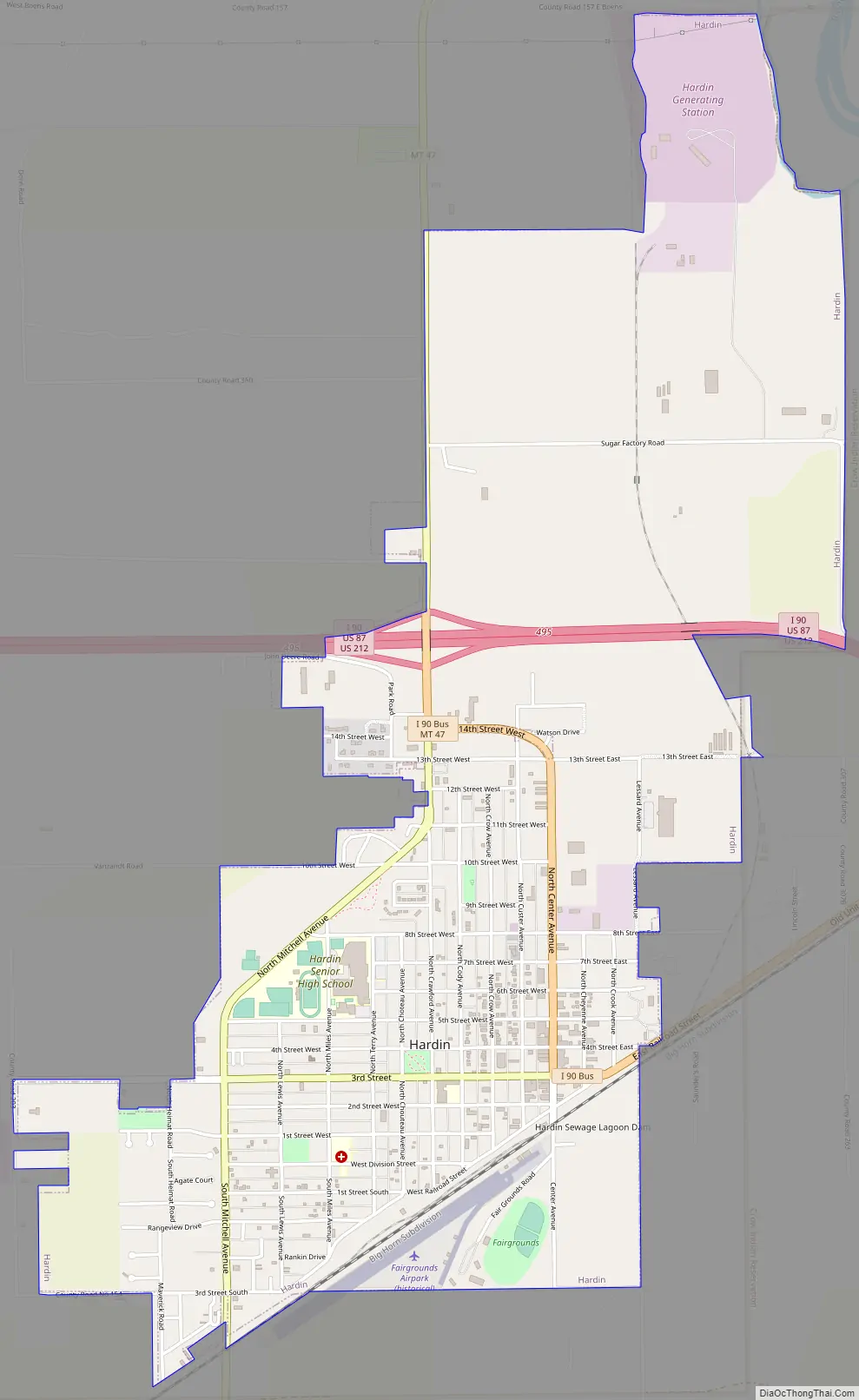
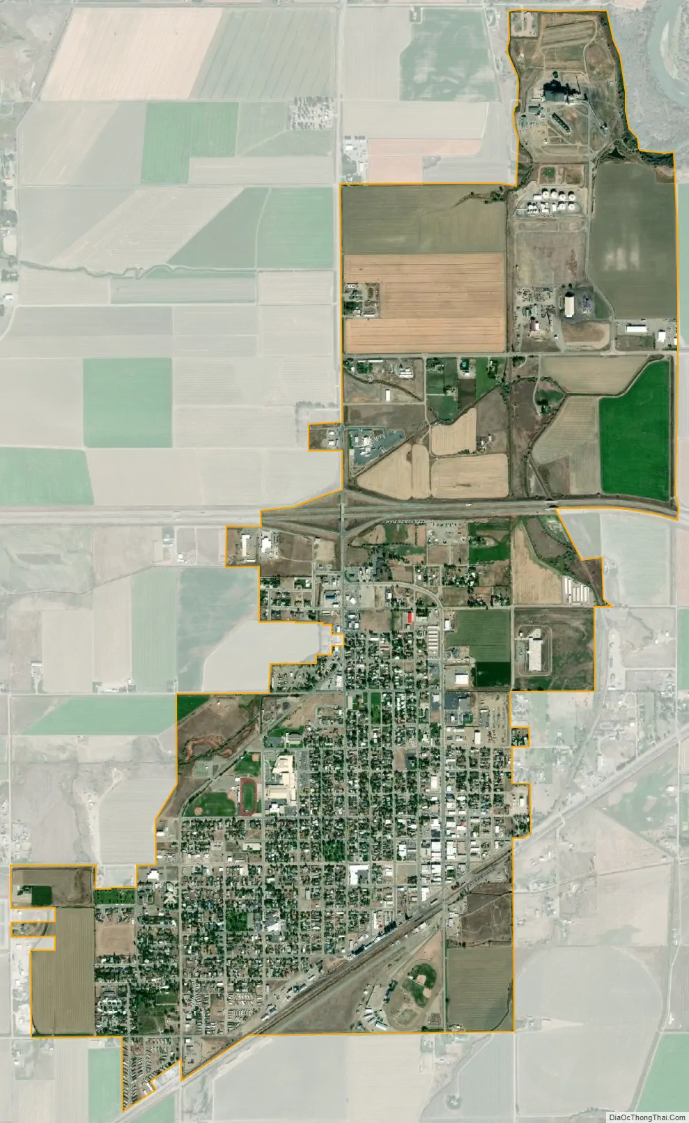
Hardin city Satellite Map
Geography
Hardin is located at 45°43′55″N 107°36′45″W / 45.73194°N 107.61250°W / 45.73194; -107.61250 (45.731824, -107.612542).
According to the United States Census Bureau, the city has a total area of 2.57 square miles (6.66 km), all land.
The Little Bighorn River empties into the Bighorn River near the town.
See also
Map of Montana State and its subdivision:- Beaverhead
- Big Horn
- Blaine
- Broadwater
- Carbon
- Carter
- Cascade
- Chouteau
- Custer
- Daniels
- Dawson
- Deer Lodge
- Fallon
- Fergus
- Flathead
- Gallatin
- Garfield
- Glacier
- Golden Valley
- Granite
- Hill
- Jefferson
- Judith Basin
- Lake
- Lewis and Clark
- Liberty
- Lincoln
- Madison
- McCone
- Meagher
- Mineral
- Missoula
- Musselshell
- Park
- Petroleum
- Phillips
- Pondera
- Powder River
- Powell
- Prairie
- Ravalli
- Richland
- Roosevelt
- Rosebud
- Sanders
- Sheridan
- Silver Bow
- Stillwater
- Sweet Grass
- Teton
- Toole
- Treasure
- Valley
- Wheatland
- Wibaux
- Yellowstone
- Alabama
- Alaska
- Arizona
- Arkansas
- California
- Colorado
- Connecticut
- Delaware
- District of Columbia
- Florida
- Georgia
- Hawaii
- Idaho
- Illinois
- Indiana
- Iowa
- Kansas
- Kentucky
- Louisiana
- Maine
- Maryland
- Massachusetts
- Michigan
- Minnesota
- Mississippi
- Missouri
- Montana
- Nebraska
- Nevada
- New Hampshire
- New Jersey
- New Mexico
- New York
- North Carolina
- North Dakota
- Ohio
- Oklahoma
- Oregon
- Pennsylvania
- Rhode Island
- South Carolina
- South Dakota
- Tennessee
- Texas
- Utah
- Vermont
- Virginia
- Washington
- West Virginia
- Wisconsin
- Wyoming