Schuyler County is a county in the U.S. state of Illinois. According to the 2010 census, it had a population of 7,544. Its county seat is Rushville.
| Name: | Schuyler County |
|---|---|
| FIPS code: | 17-169 |
| State: | Illinois |
| Founded: | 1825 |
| Named for: | Philip Schuyler |
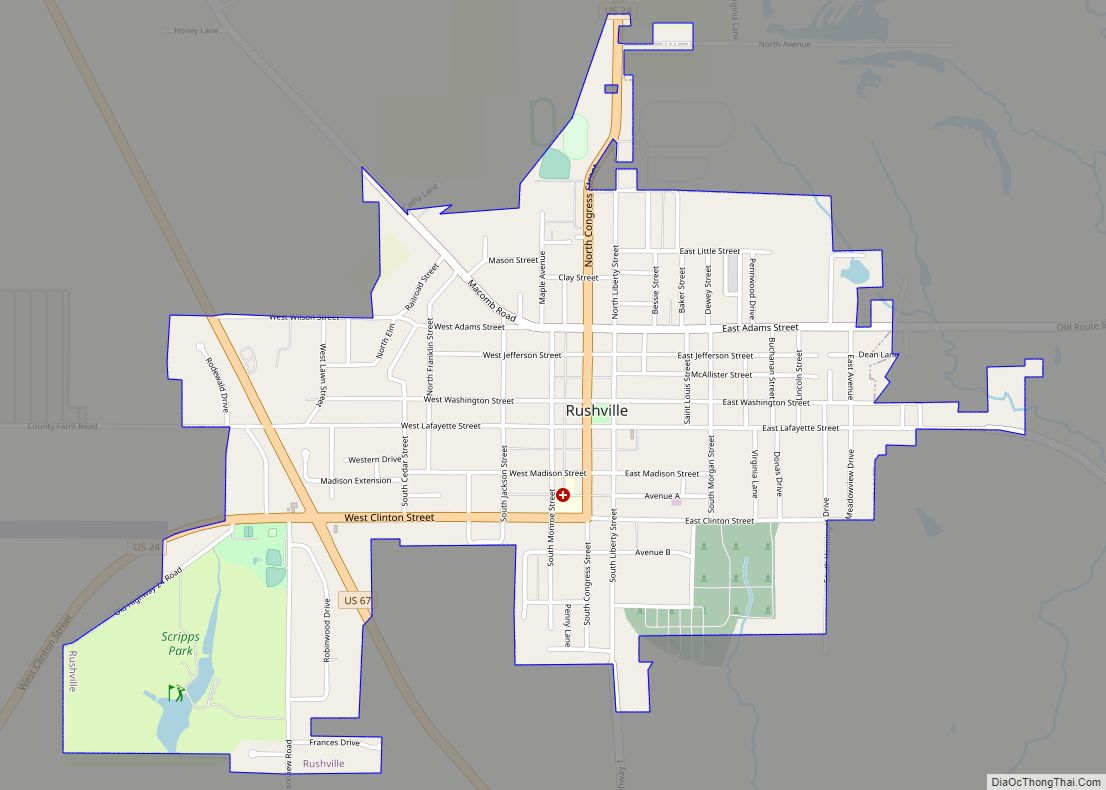
| Seat: | Rushville |
| Largest city: | Rushville |
| Total Area: | 441 sq mi (1,140 km²) |
| Land Area: | 437 sq mi (1,130 km²) |
| Total Population: | 7,544 |
| Population Density: | 17/sq mi (6.6/km²) |
| Time zone: | UTC−6 (Central) |
| Summer Time Zone (DST): | UTC−5 (CDT) |
| Website: | www.schuylercountyillinois.com |
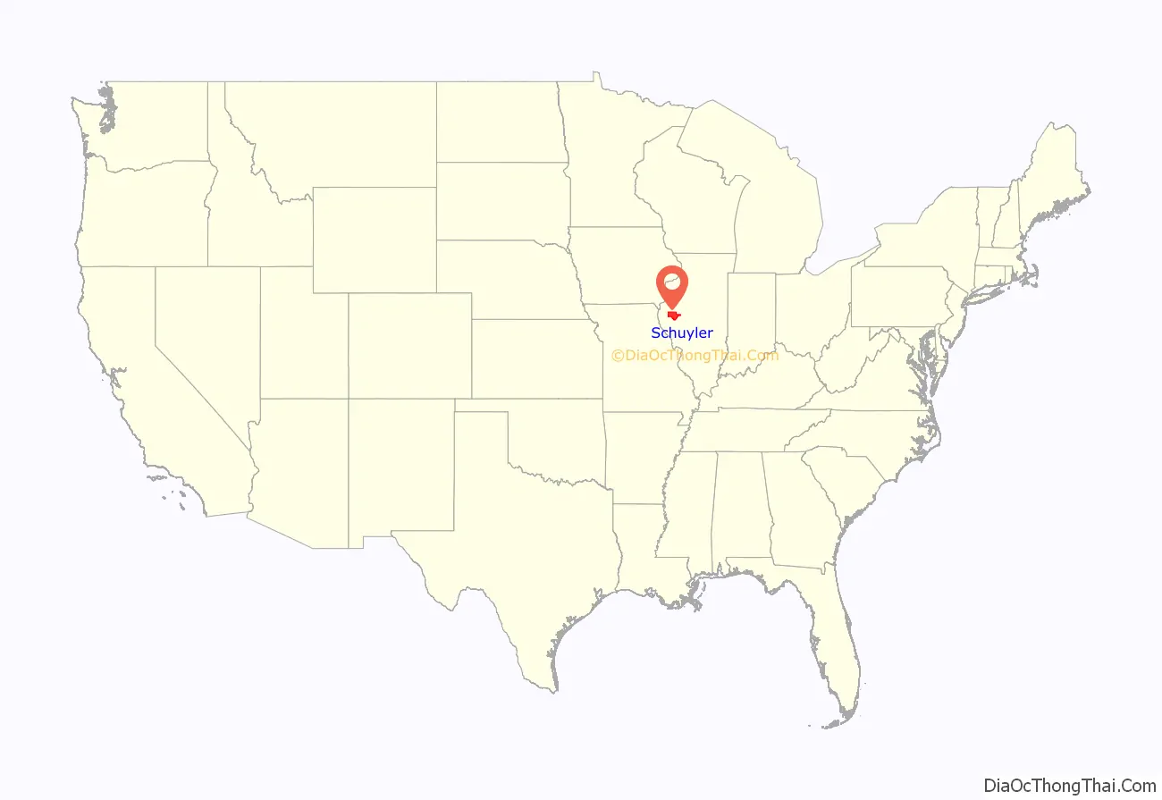
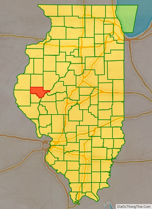
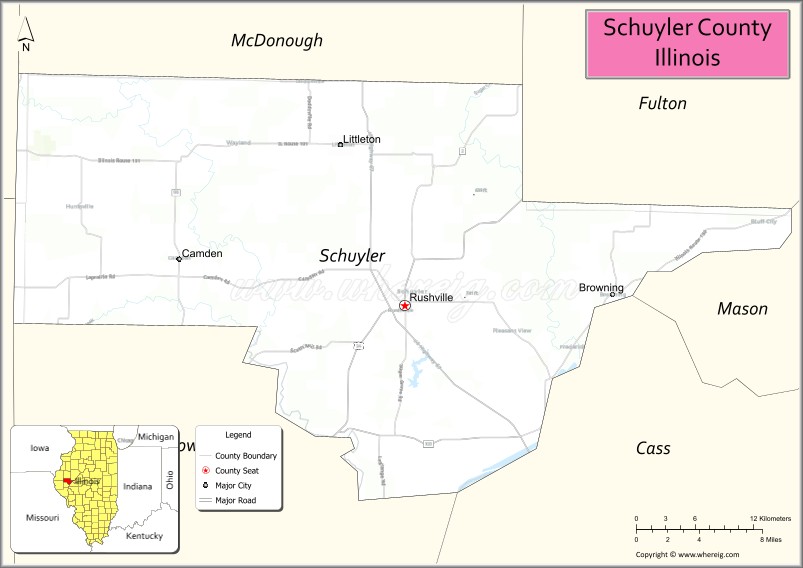
Schuyler County location map. Where is Schuyler County?
History
Schuyler County was formed in 1825 out of Pike and Fulton counties. It is named for Philip Schuyler, member of the Continental Congress and Senator from New York.
Schuyler County (1825), with unorganized territory, Warren County, and Mercer County assigned to it.
Schuyler County (1826–1830), with McDonough County assigned to it.
Schuyler (1830–1839), with McDonough County becoming organized.
Schuyler in 1839, when the creation of Brown County reduced Schuyler to its present borders.
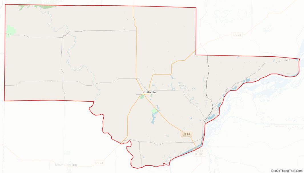
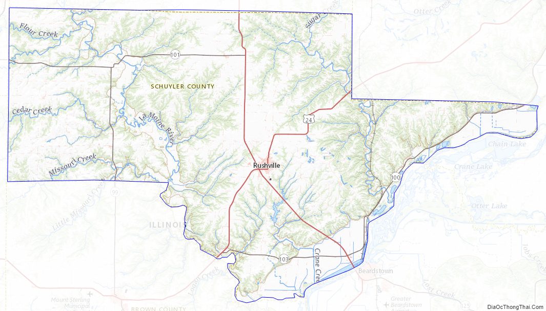
Schuyler County Road Map
Geography
According to the US Census Bureau, the county has a total area of 441 square miles (1,140 km), of which 437 square miles (1,130 km) is land and 4.1 square miles (11 km) (0.9%) is water.
Climate and weather
In recent years, average temperatures in the county seat of Rushville have ranged from a low of 15 °F (−9 °C) in January to a high of 87 °F (31 °C) in July, although a record low of −26 °F (−32 °C) was recorded in February 1905 and a record high of 113 °F (45 °C) was recorded in July 1936. Average monthly precipitation ranged from 1.55 inches (39 mm) in January to 5.14 inches (131 mm) in May.
Major highways
- U.S. Highway 24
- U.S. Highway 67
- Illinois Route 99
- Illinois Route 100
- Illinois Route 101
- Illinois Route 103
Adjacent counties
- Hancock County (northwest)
- McDonough County (north)
- Fulton County (northeast)
- Mason County (east)
- Cass County (southeast)
- Brown County (south)
- Adams County (southwest)
Schuyler County Topographic Map
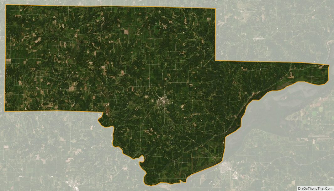
Schuyler County Satellite Map
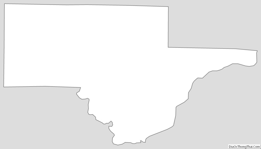
Schuyler County Outline Map