Pike County is a county in the U.S. state of Illinois. It is located between the Mississippi River and the Illinois River in western Illinois. According to the 2010 United States Census, it had a population of 16,430. Its county seat is Pittsfield.
| Name: | Pike County |
|---|---|
| FIPS code: | 17-149 |
| State: | Illinois |
| Founded: | January 31, 1821 |
| Named for: | Zebulon Pike |
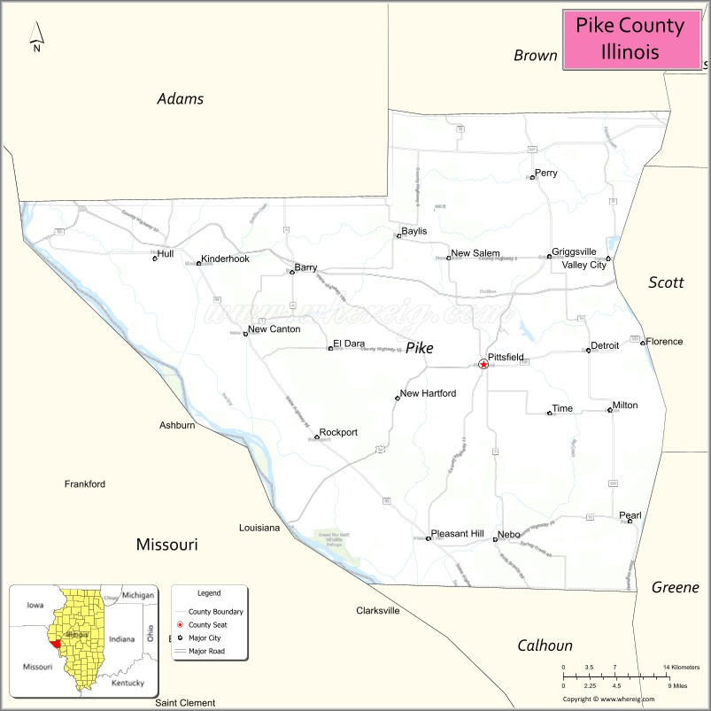
| Seat: | Pittsfield |
| Largest city: | Pittsfield |
| Total Area: | 849 sq mi (2,200 km²) |
| Land Area: | 831 sq mi (2,150 km²) |
| Total Population: | 16,430 |
| Population Density: | 19/sq mi (7.5/km²) |
| Time zone: | UTC−6 (Central) |
| Summer Time Zone (DST): | UTC−5 (CDT) |
| Website: | www.pikecountyil.org |
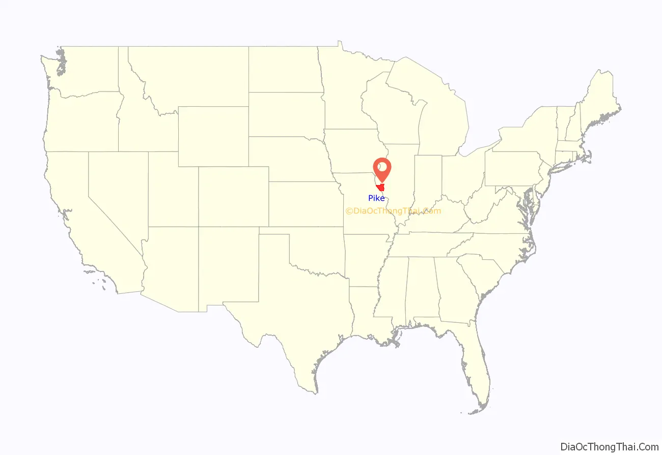
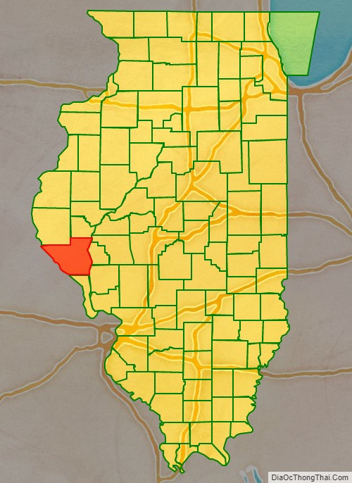
Pike County location map. Where is Pike County?
History
Pike County was formed in January 1821 out of Madison County. It was named in honor of Zebulon Pike, leader of the Pike Expedition in 1806 to map out the south and west portions of the Louisiana Purchase. Pike served at the Battle of Tippecanoe, and was killed in 1813 in the War of 1812.
Prior to the coming of the first European settler to the future Pike County, French traders, hunters, and travelers passed through the native forests and prairies. Originally Pike County began on the south junction of the Illinois and Mississippi rivers. The east boundary was the Illinois River north to the Kankakee River to the Indiana State line on north to Wisconsin territorial line and then west to the Mississippi River to the original point at the south end. The first county seat was Cole’s Grove, a post town, in what later became Calhoun County. The Gazetteer of Illinois and Missouri, published in 1822, mentioned Chicago as “a village of Pike County” containing 12 or 15 houses and about 60 or 70 inhabitants.
The New Philadelphia Town Site was listed on the National Register of Historic Places in 2005, designated a National Historic Landmark in 2009, and established as a National Park in 2022. Founded by Frank McWorter, an early free black settler in Pike County, it was the first town founded by a black man in the United States. McWorter had invested in land there sight unseen after purchasing the first few members of his family out of slavery. In 1836 he founded the town of New Philadelphia, near Barry. He was elected mayor and lived there the rest of his life. With the sale of land, he made enough money to purchase the freedom of his children. After the railroad bypassed the town, its growth slowed and it was eventually abandoned in the 20th century. The town site is now an archaeological site.
In the early 21st century, Pike County acquired notability as a whitetail deer hunting center, especially for bowhunting.
Pike County from the time of its creation to 1823
Pike County between 1823 and 1825, including unorganized territory temporarily attached to it
Pike County in 1825, reduced to its present borders
Pike County Road Map
Geography
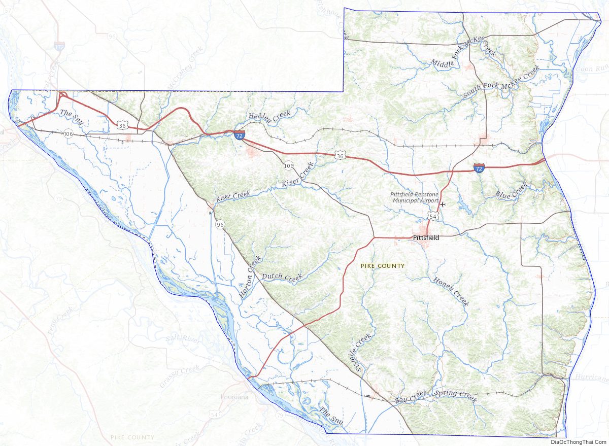
According to the US Census Bureau, the county has a total area of 849 square miles (2,200 km), of which 831 square miles (2,150 km) is land and 18 square miles (47 km) (2.1%) is water.
Pike County is located on the highlands between the Illinois River, which forms its eastern border, and the Mississippi River, which borders Missouri. It has two interstate highways, I-72, with bridges spanning both rivers to enter the county, and I-172 which extends about 300 feet (91 m) into the county to its intersection with I-72.
Climate and weather
In recent years, average temperatures in the county seat of Pittsfield have ranged from a low of 15 °F (−9 °C) in January to a high of 86 °F (30 °C) in July, although a record low of −25 °F (−32 °C) was recorded in February 1905 and a record high of 115 °F (46 °C) was recorded in July 1954. Average monthly precipitation ranged from 1.74 inches (44 mm) in January to 4.11 inches (104 mm) in May.
Major highways
- Interstate 72
- Interstate 172
- U.S. Route 36
- U.S. Route 54
- Illinois Route 57
- Illinois Route 96
- Illinois Route 106
- Illinois Route 107
- Illinois Route 100
Adjacent counties
- Adams County – north
- Brown County – northeast
- Scott County – east
- Morgan County – east
- Greene County – southeast
- Calhoun County – south
- Pike County, Missouri – southwest
- Ralls County, Missouri – west
- Marion County, Missouri – northwest
Pike County is one of the few US counties to border as many as nine counties. Illinois has two – Pike and LaSalle.
National protected area
- Great River National Wildlife Refuge (part)
Pike County Topographic Map
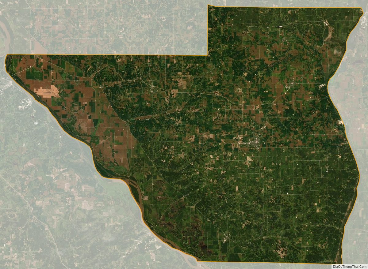
Pike County Satellite Map
Pike County Outline Map