Brule County is a county in the U.S. state of South Dakota. As of the 2020 census, the population was 5,247. Its county seat is Chamberlain.
| Name: | Brule County |
|---|---|
| FIPS code: | 46-015 |
| State: | South Dakota |
| Founded: | 1875 |
| Named for: | Brulé subtribe of Lakota people |
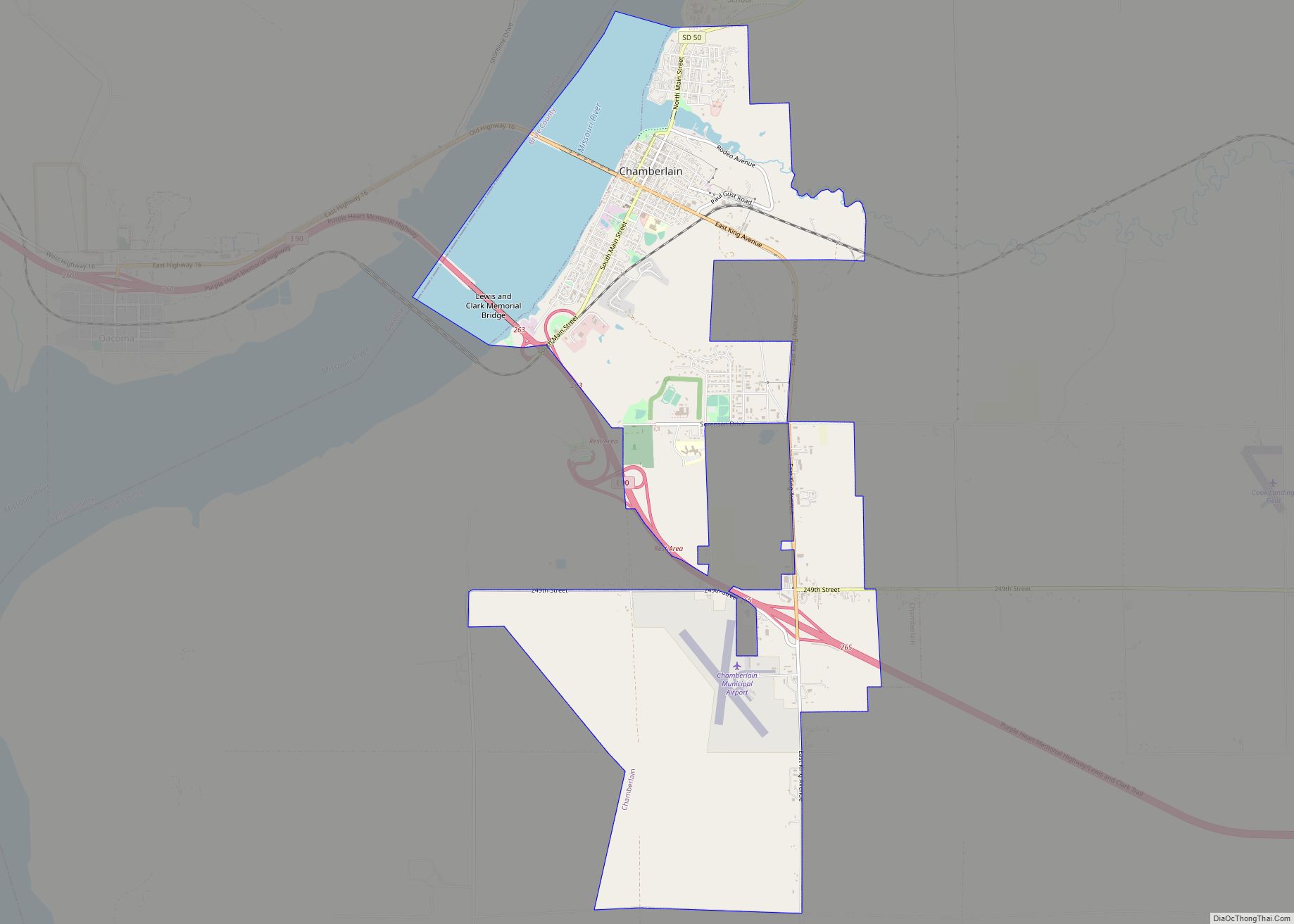
| Seat: | Chamberlain |
| Largest city: | Chamberlain |
| Total Area: | 846 sq mi (2,190 km²) |
| Land Area: | 817 sq mi (2,120 km²) |
| Total Population: | 5,247 |
| Population Density: | 6.2/sq mi (2.4/km²) |
| Time zone: | UTC−6 (Central) |
| Summer Time Zone (DST): | UTC−5 (CDT) |
| Website: | www.brulecounty.org |
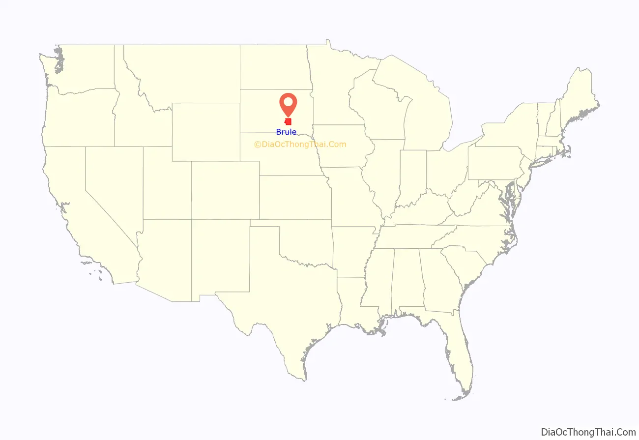
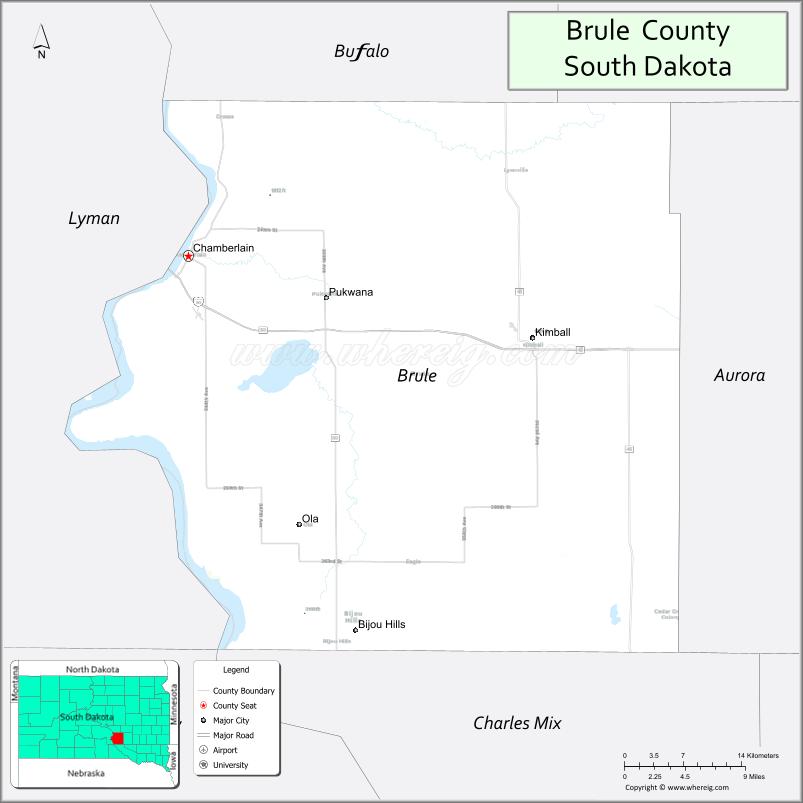
Brule County location map. Where is Brule County?
History
Brule County was created on January 14, 1875, of territory partitioned from Charles Mix County. Its governing structure was also created at that time. However, in May 1875, Brule County was withdrawn from settlement, by order of US President Grant. This order was later annulled, and the organization of Brule County governing structure was completed in September 1879.
On March 9, 1883, the area of Brule County was slightly increased by an addition of former Buffalo County lands. The total area of Brule County was further increased on June 4, 1891, when American Island (in the Missouri River) was attached to the county (from the Sioux Reservation). Its boundaries have remained unchanged since that date.
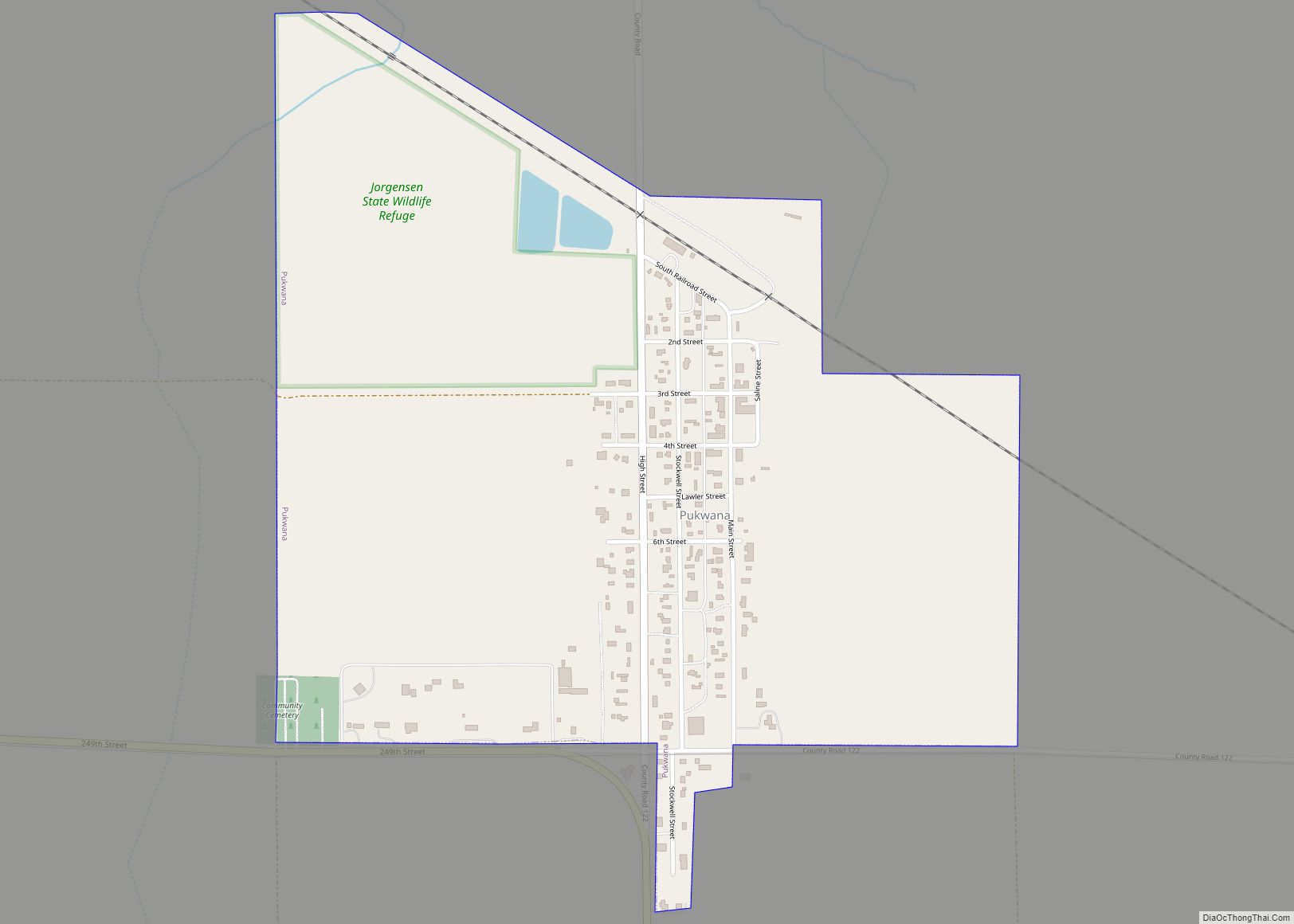
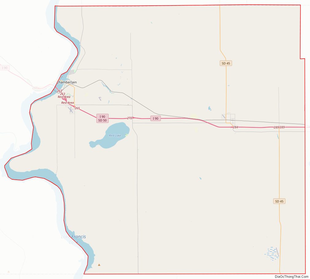
Brule County Road Map
Geography
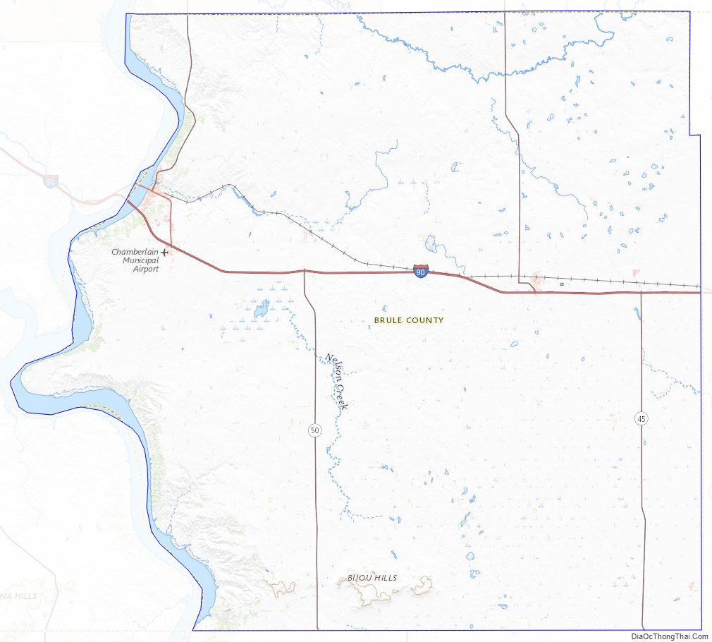
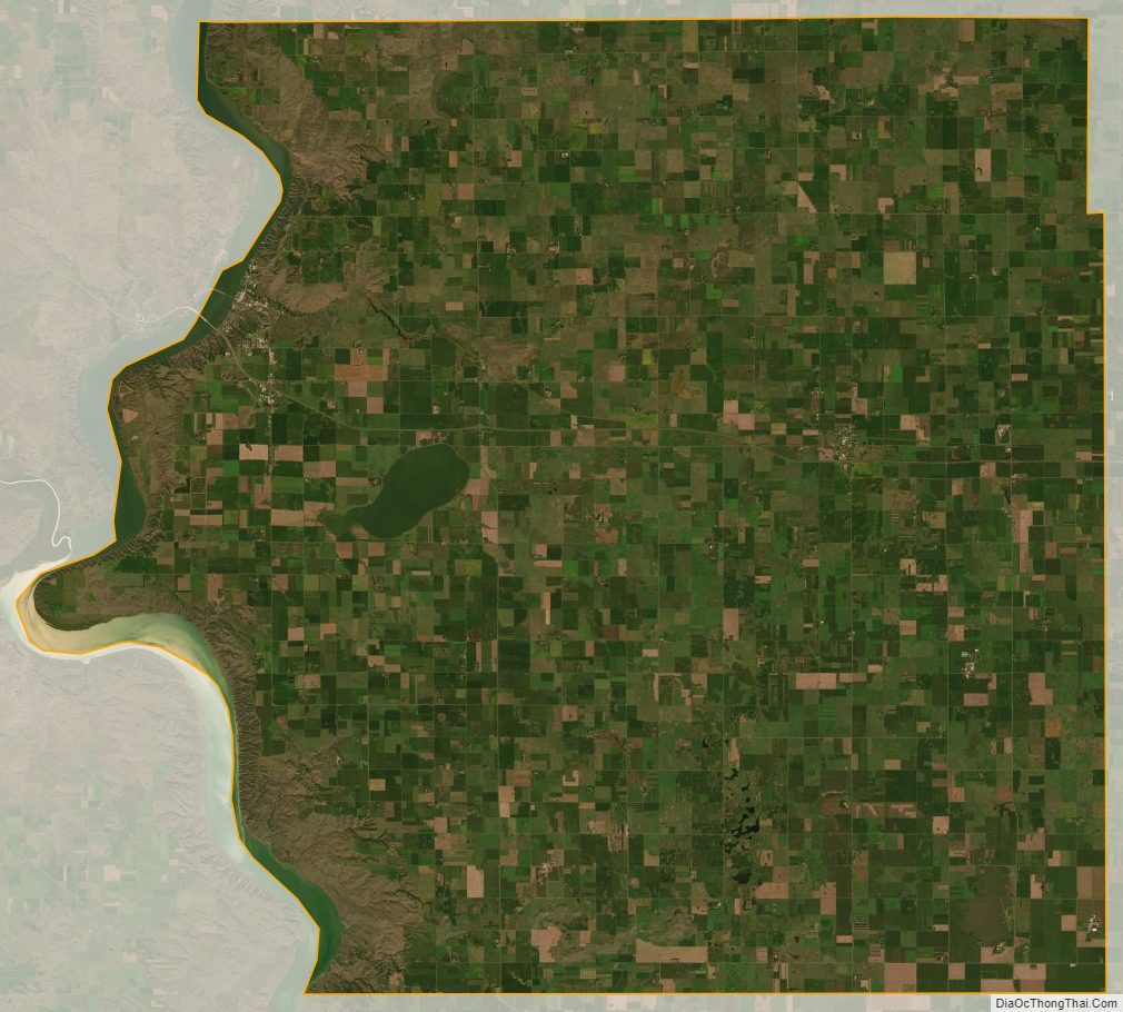
The Missouri River flows southward along the western boundary line of Brule County. The county terrain consists of rolling hills, partially dedicated to agriculture. The county has a total area of 846 square miles (2,190 km), of which 817 square miles (2,120 km) is land and 29 square miles (75 km) (3.5%) is water.
Major highways
- Interstate 90
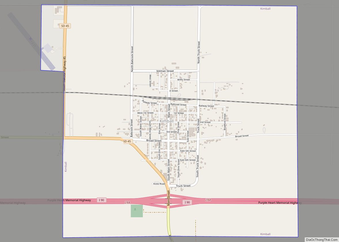
- South Dakota Highway 45
- South Dakota Highway 50
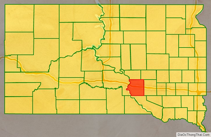
Adjacent counties
- Buffalo County – north
- Jerauld County – northeast
- Aurora County – east
- Charles Mix County – south
- Lyman County – west
Protected areas
- Boyer State Game Production Area
- Brule Bottom State Game Production Area
- Burning Brule State Game Production Area
- Chain lake State Game Production Area
- Chamberlain State Game Production Area
- Elm Creek State Game Production Area
- Elm Creek State Lakeside Use Area
- Hoover State Game Production Area
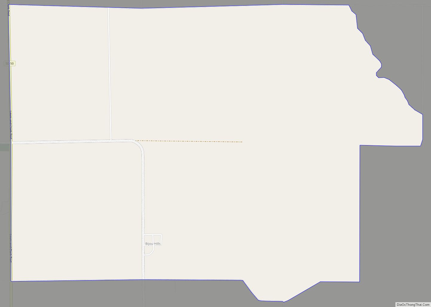
- Kimball State Game Production Area
- Lake Sixteen State Game Production Area
Lakes
- Lake Francis Case (part)
- Red Lake
Brule County Topographic Map
Brule County Satellite Map
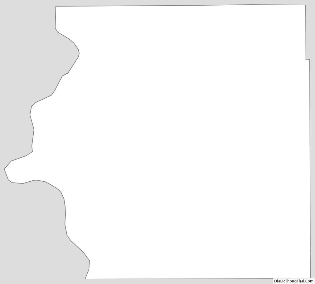
Brule County Outline Map