Marshall County is a county located in the U.S. state of Illinois. According to the 2010 census, it had a population of 12,640. Its county seat is Lacon.
Marshall County is part of the Peoria, IL Metropolitan Statistical Area.
| Name: | Marshall County |
|---|---|
| FIPS code: | 17-123 |
| State: | Illinois |
| Founded: | January 19, 1839 |
| Named for: | John Marshall |
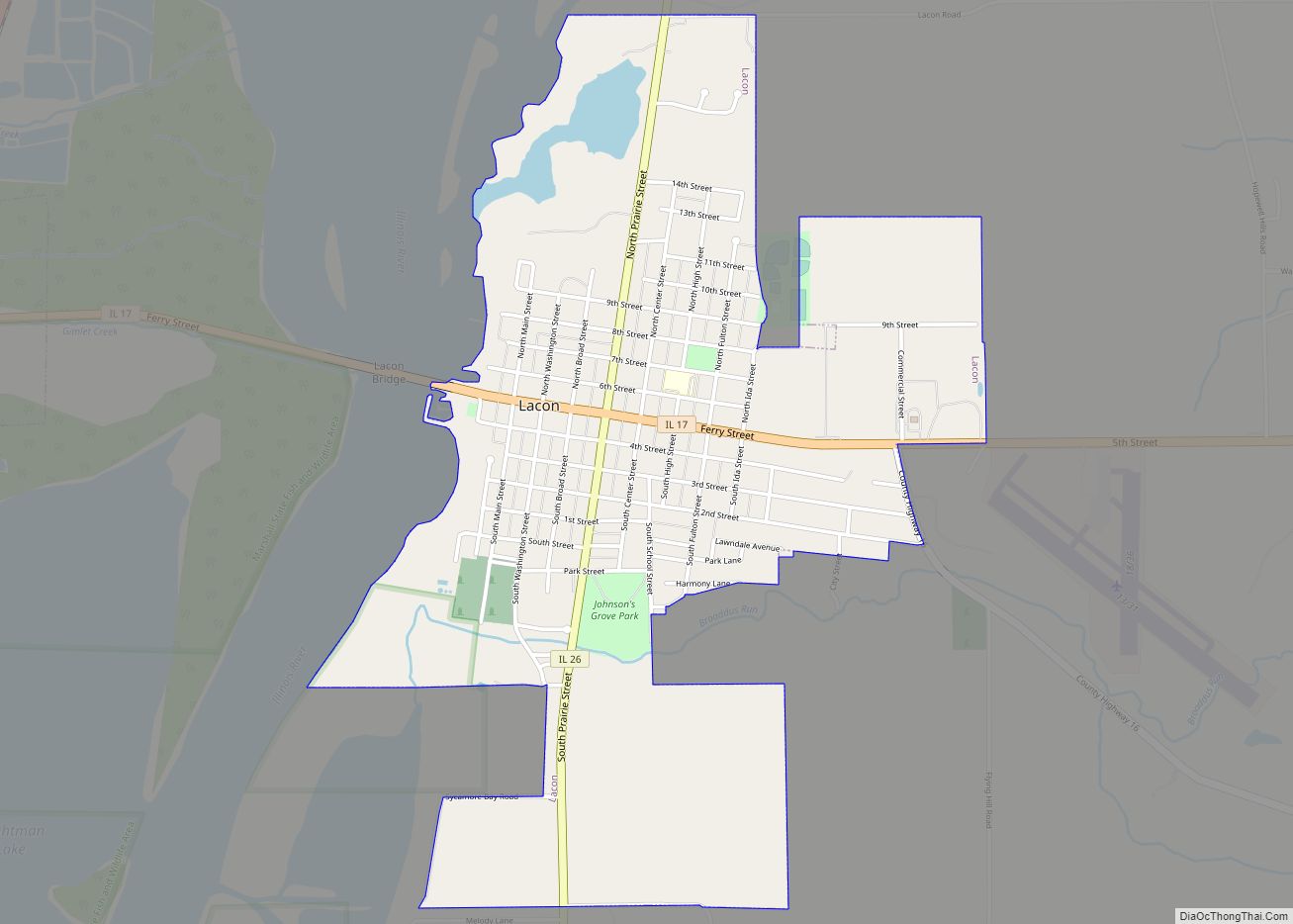
| Seat: | Lacon |
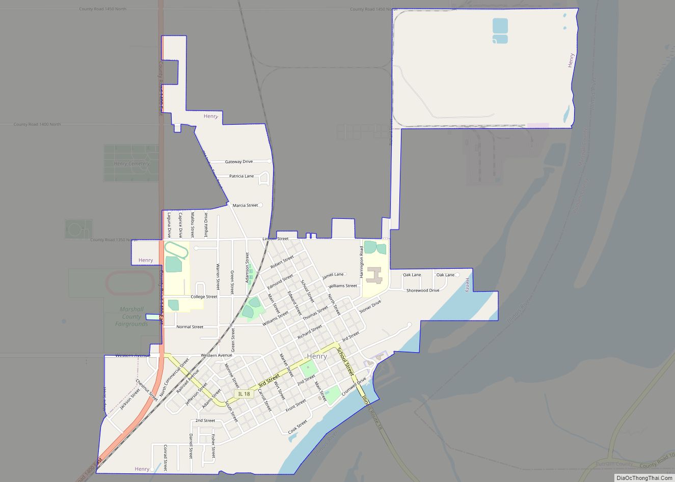
| Largest city: | Henry |
| Total Area: | 399 sq mi (1,030 km²) |
| Land Area: | 387 sq mi (1,000 km²) |
| Total Population: | 12,640 |
| Population Density: | 32/sq mi (12/km²) |
| Time zone: | UTC−6 (Central) |
| Summer Time Zone (DST): | UTC−5 (CDT) |
| Website: | www.marshallcountyillinois.com |
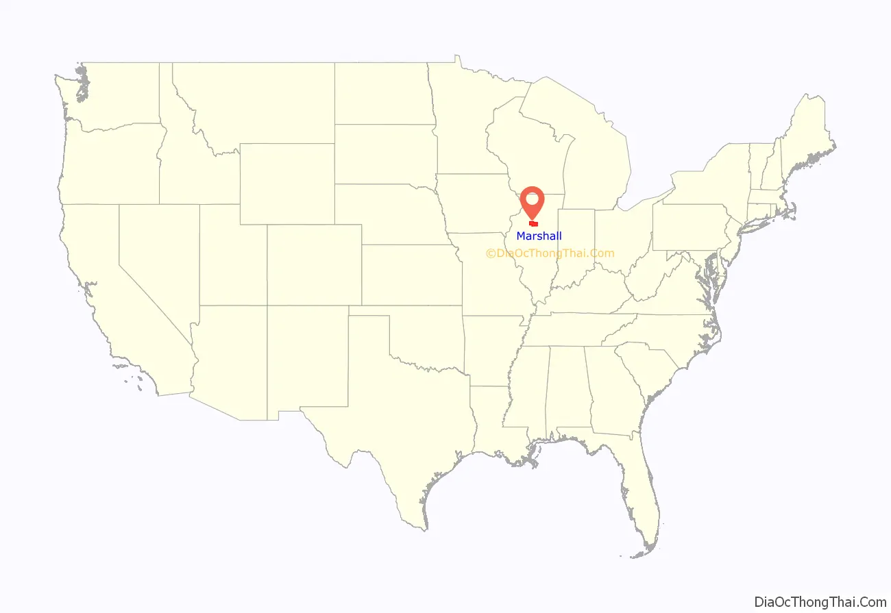
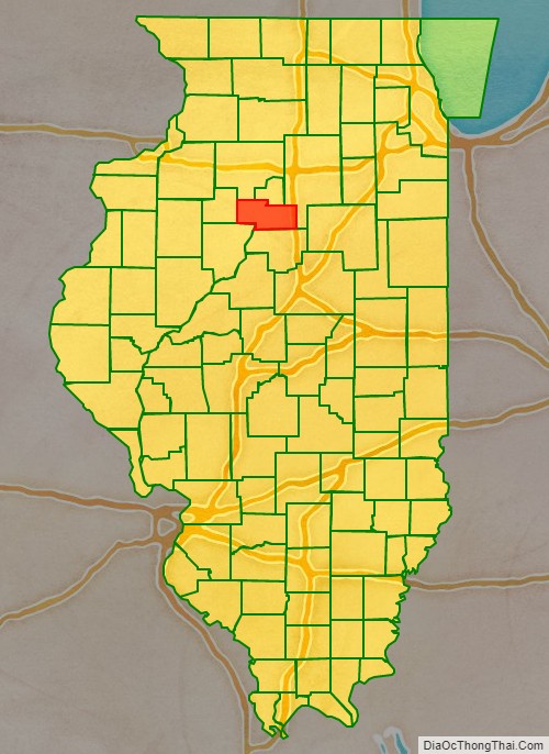
Marshall County location map. Where is Marshall County?
History
Marshall County was formed in 1839 out of Putnam County. It was named in honor of John Marshall, Chief Justice of the United States Supreme Court, who died in 1835.
Marshall County at the time of its creation
Marshall County in 1843, when its eastern border was extended to bring it to its current size
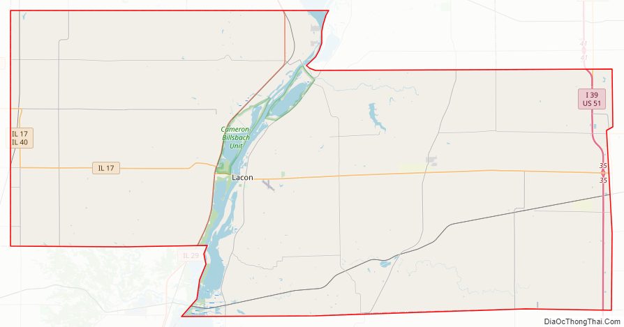
Marshall County Road Map
Geography
According to the U.S. Census Bureau, the county has a total area of 399 square miles (1,030 km), of which 387 square miles (1,000 km) is land and 12 square miles (31 km) (2.9%) is water. The county is distinctly bisected by the Illinois River, splitting the county into two uneven sections.
Climate and weather
In recent years, average temperatures in the county seat of Lacon have ranged from a low of 15 °F (−9 °C) in January to a high of 87 °F (31 °C) in July, although a record low of −27 °F (−33 °C) was recorded in January 1999 and a record high of 103 °F (39 °C) was recorded in July 2005. Average monthly precipitation ranged from 1.55 inches (39 mm) in January to 4.20 inches (107 mm) in May.
Major highways
- Interstate 39
- U.S. Highway 51
- Illinois Route 17
- Illinois Route 18
- Illinois Route 26
- Illinois Route 29
- Illinois Route 40
- Illinois Route 89
- Illinois Route 117
- Illinois Route 251
Adjacent counties
- Bureau County – northwest
- Putnam County – north
- LaSalle County – east
- Woodford County – south
- Peoria County – southwest
- Stark County – west
National protected area
- Chautauqua National Wildlife Refuge (part)
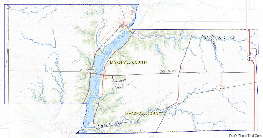
Marshall County Topographic Map
Marshall County Satellite Map
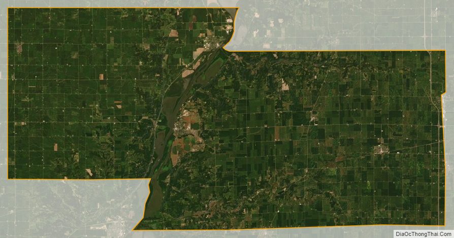
Marshall County Outline Map