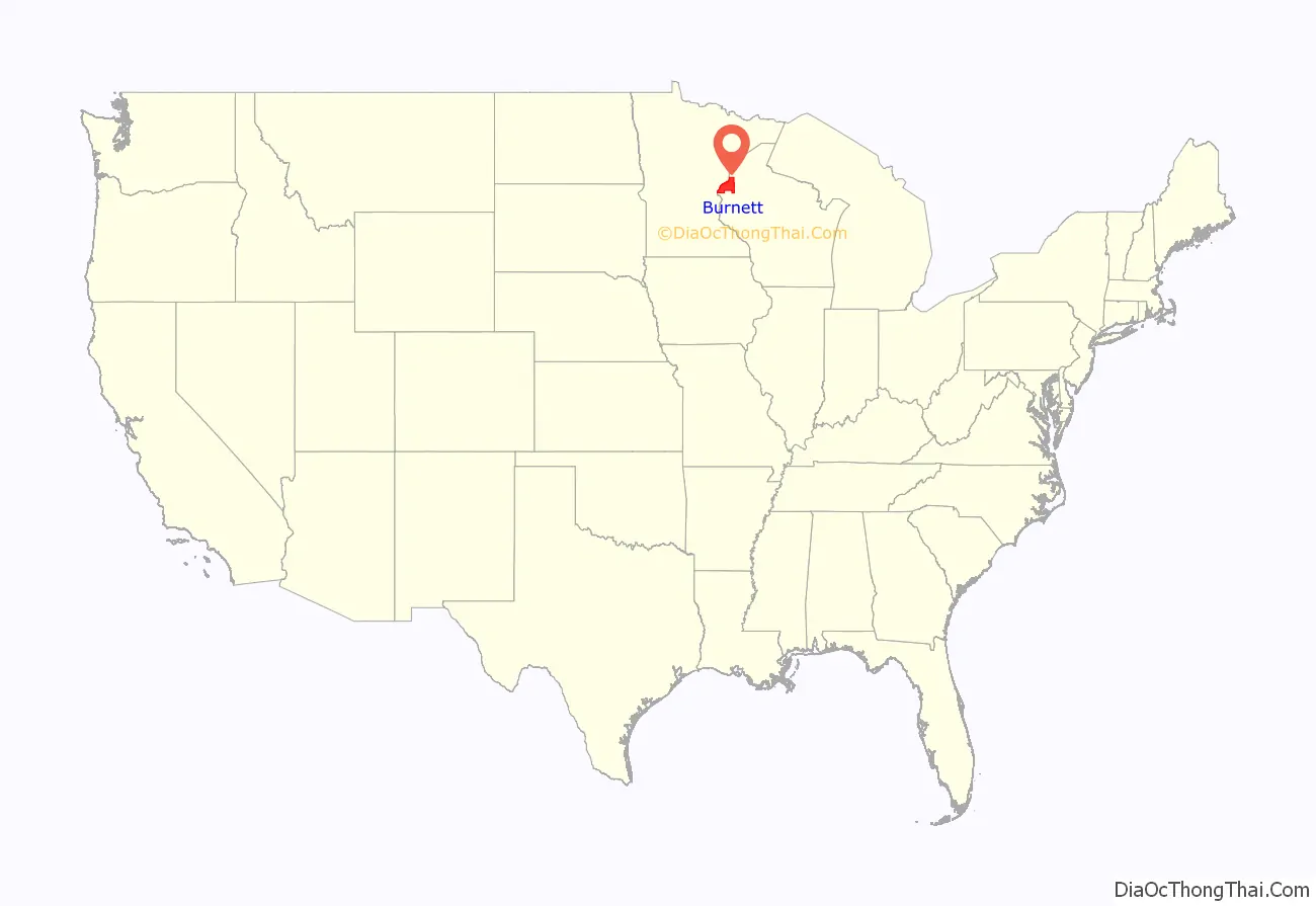
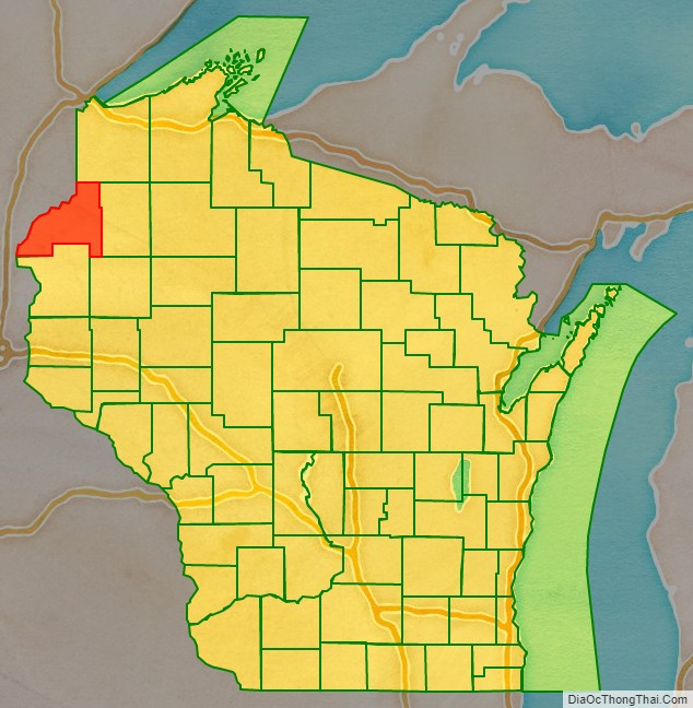
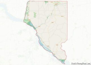
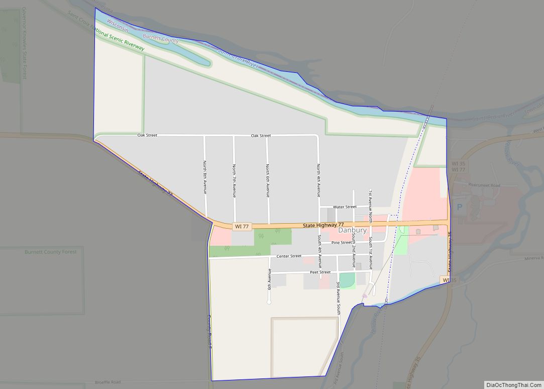
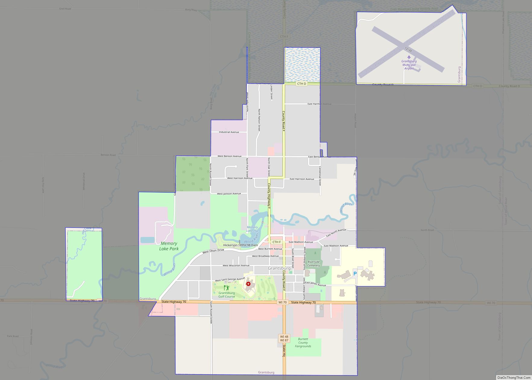
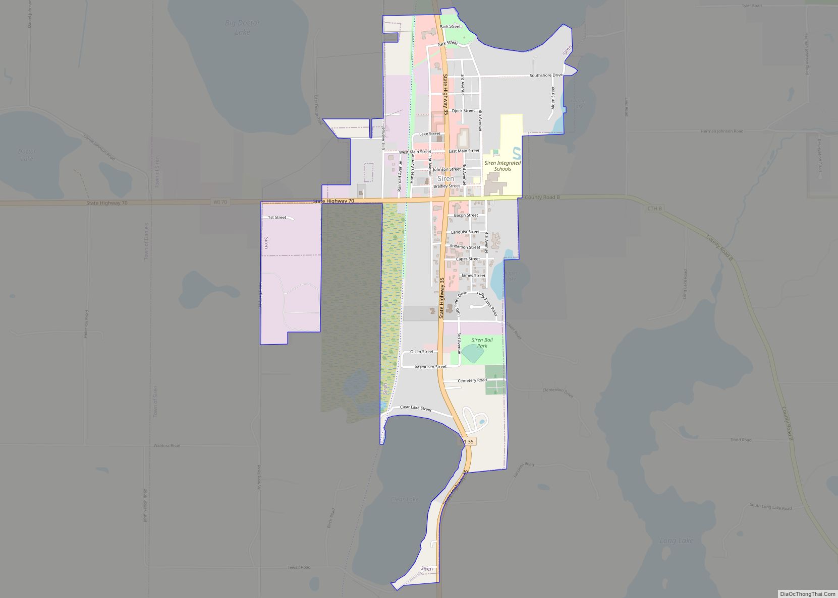
Burnett County is a county located in the U.S. state of Wisconsin. As of the 2020 census, the population was 16,526. Its county seat is Siren, with the majority of county governmental services located at the Burnett County Government Center. The county was created in 1856 and organized in 1865. The St. Croix Chippewa Indians of Wisconsin have reservation lands in Burnett County and are the county’s largest employer.
| Name: | Burnett County |
|---|---|
| FIPS code: | 55-013 |
| State: | Wisconsin |
| Founded: | 1865 |
| Named for: | Thomas P. Burnett |
| Seat: | Siren |
| Total Area: | 880 sq mi (2,300 km²) |
| Land Area: | 822 sq mi (2,130 km²) |
| Total Population: | 16,526 |
| Population Density: | 19/sq mi (7.3/km²) |
Burnett County location map. Where is Burnett County?
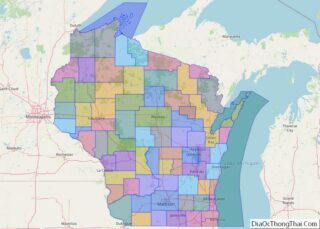
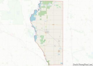
Burnett County Road Map
Geography
According to the U.S. Census Bureau, the county has a total area of 880 square miles (2,300 km), of which 872 square miles (2,260 km) is land and 58 square miles (150 km) (6.6%) is water. Saginaw Lake is located in the county, south of the Namekagon River.
Adjacent counties
- Douglas County – northeast
- Washburn County – east
- Barron County – southeast
- Polk County – south
- Chisago County, Minnesota – southwest
- Pine County, Minnesota – west
Major highways
- Highway 35 (Wisconsin)
- Highway 48 (Wisconsin)
- Highway 70 (Wisconsin)
- Highway 77 (Wisconsin)
- Highway 87 (Wisconsin)
Buses
- List of intercity bus stops in Wisconsin
Airports
- Burnett County Airport (KRZN) serves the county and surrounding communities.
- Grantsburg Municipal Airport (KGTG) enhances county service.
National protected area
- Saint Croix National Scenic Riverway (part)
