Polk County is a county in the U.S. state of Wisconsin. As of the 2020 census, the population was 44,977. Its county seat is Balsam Lake. The county was created in 1853.
| Name: | Polk County |
|---|---|
| FIPS code: | 55-095 |
| State: | Wisconsin |
| Founded: | 1853 |
| Named for: | James K. Polk |
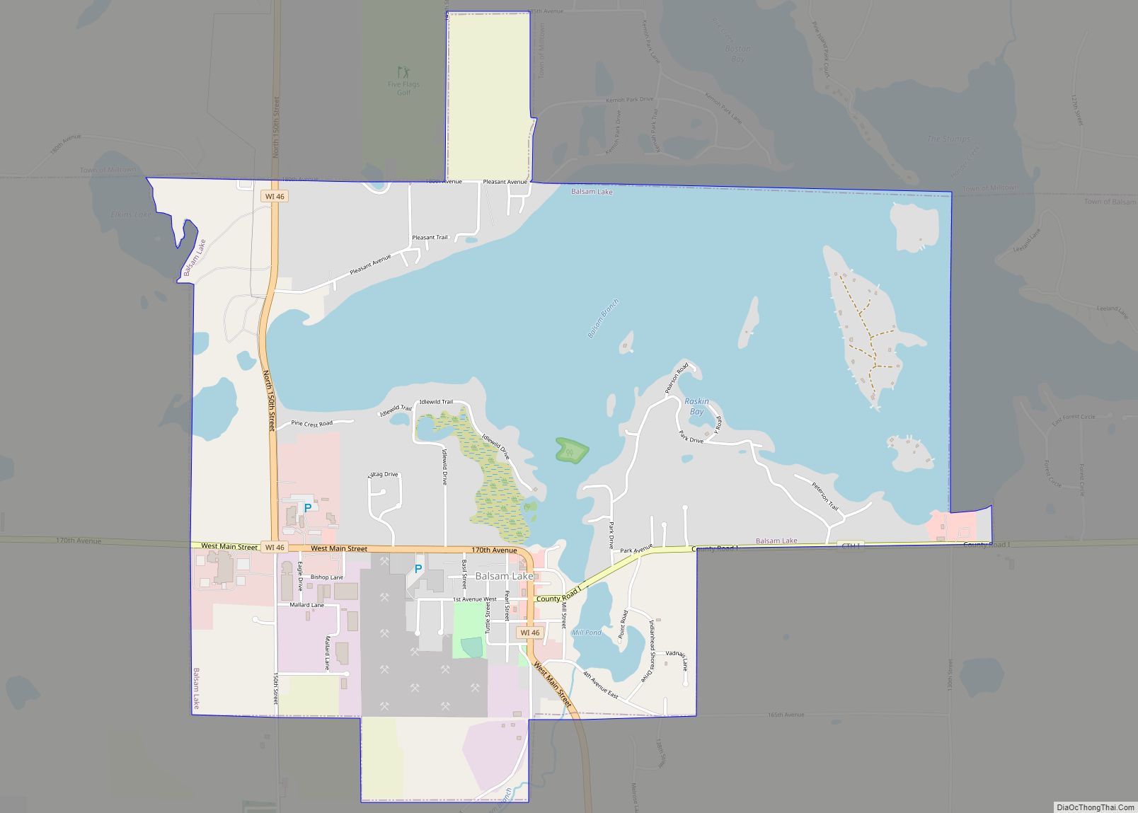
| Seat: | Balsam Lake |
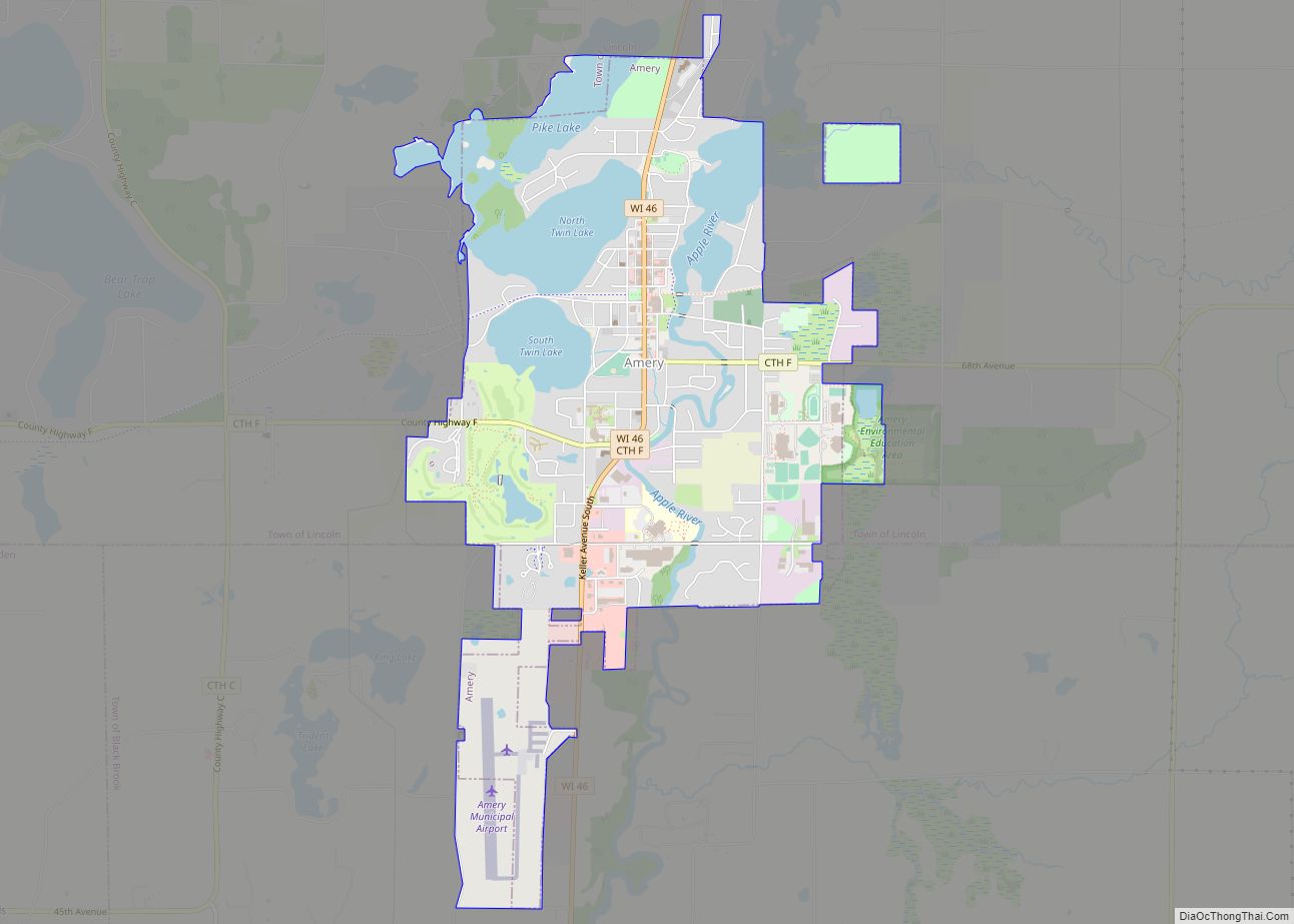
| Largest city: | Amery |
| Total Area: | 956 sq mi (2,480 km²) |
| Land Area: | 914 sq mi (2,370 km²) |
| Total Population: | 44,977 |
| Population Density: | 49.2/sq mi (19.0/km²) |
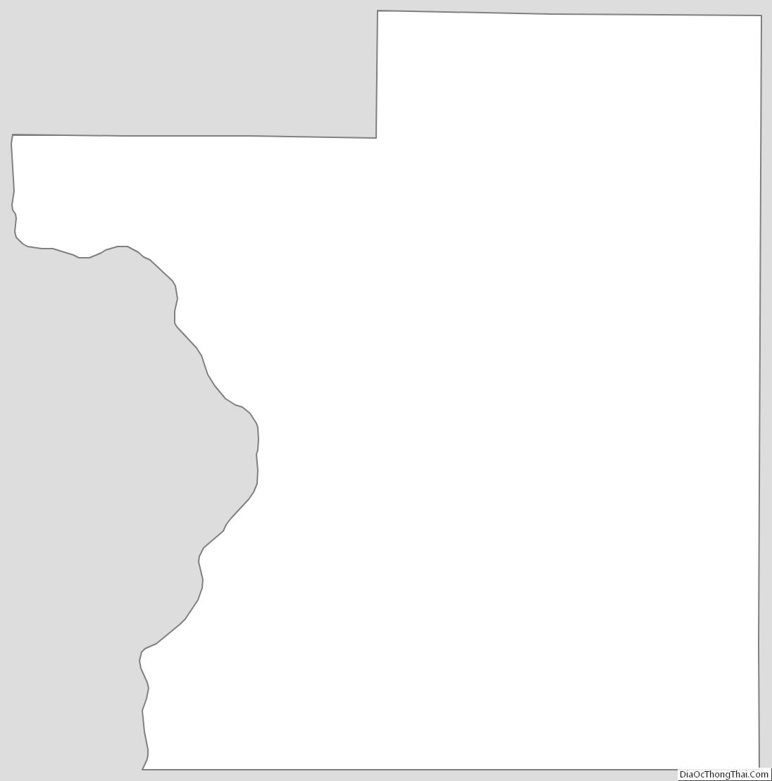
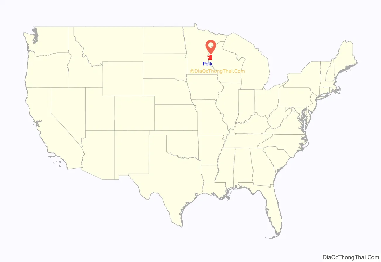
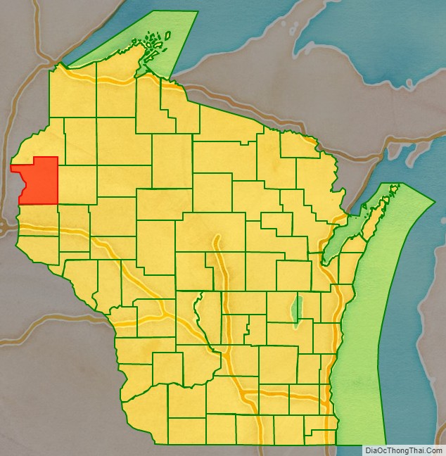
Polk County location map. Where is Polk County?
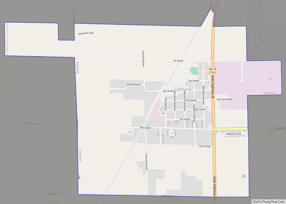
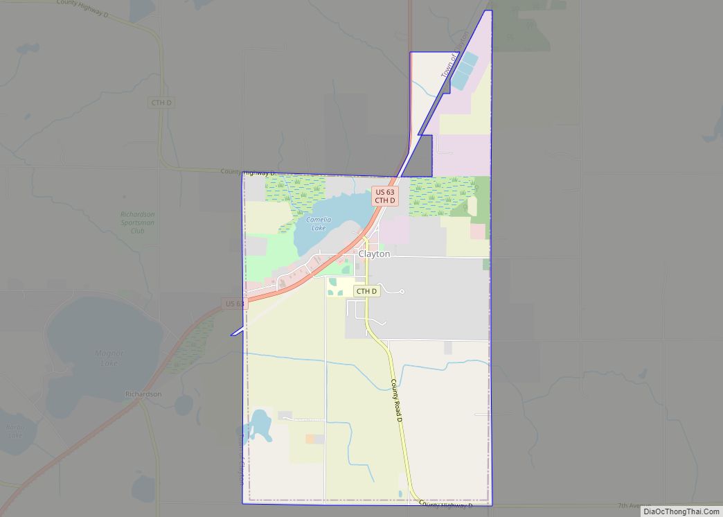
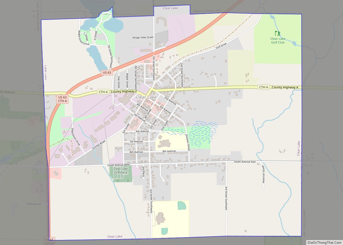
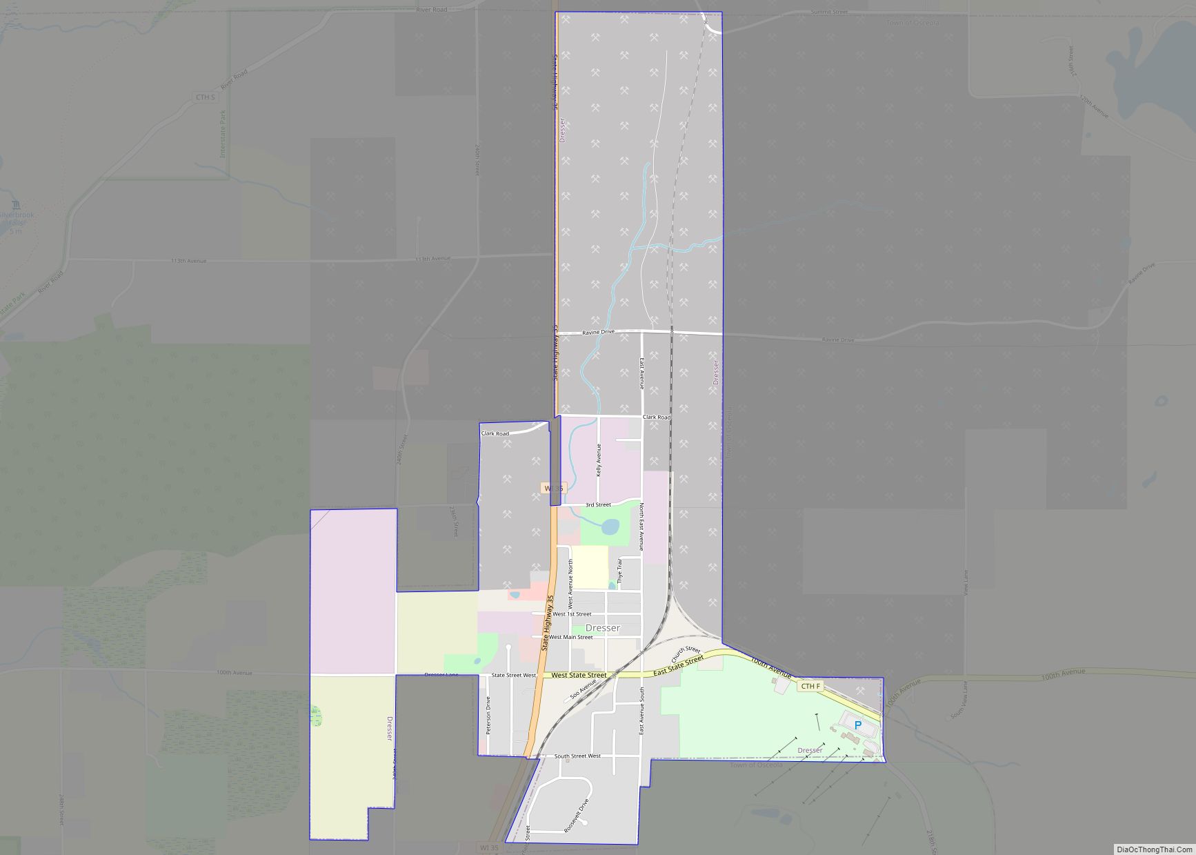
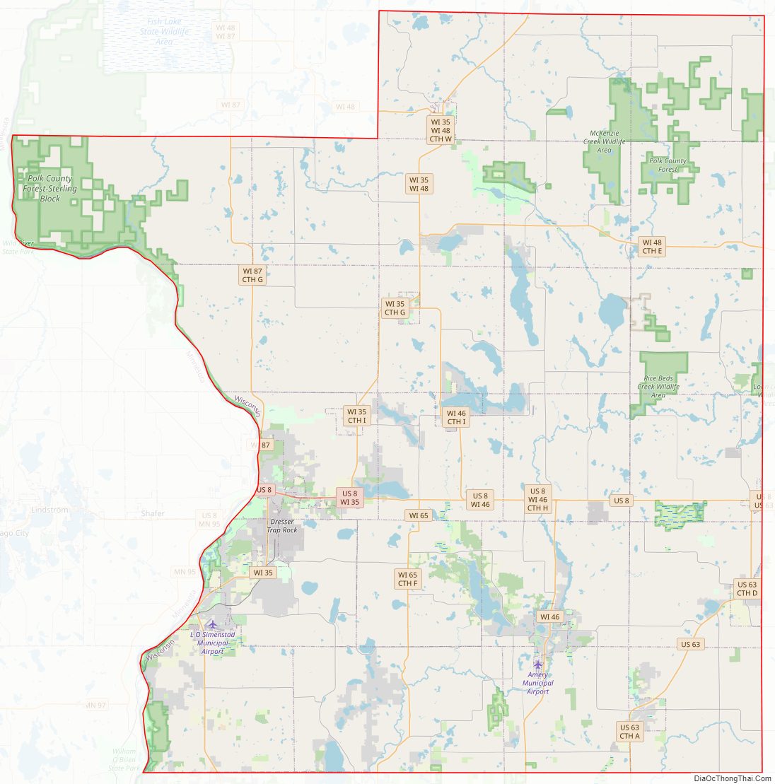
Polk County Road Map
Geography
According to the U.S. Census Bureau, the county has an area of 956 square miles (2,480 km), of which 914 square miles (2,370 km) is land and 42 square miles (110 km) (4.4%) is water.
Adjacent counties
- Burnett County – north
- Barron County – east
- Dunn County – southeast
- St. Croix County – south
- Washington County, Minnesota – southwest
- Chisago County, Minnesota – west
Major highways
Railroads
- Canadian National
- Minnesota Transportation Museum
Buses
- List of intercity bus stops in Wisconsin
Airports
- Amery Municipal Airport (KAHH) serves the county and surrounding communities.
- L.O. Simenstad Municipal Airport (KOEO).
National protected area
- Saint Croix National Scenic Riverway (part)
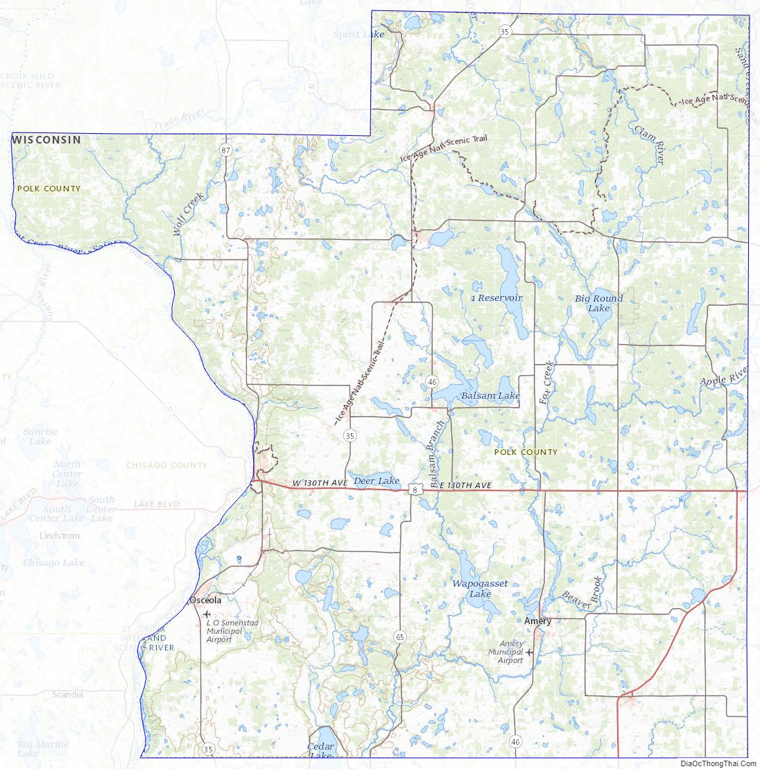
Polk County Topographic Map
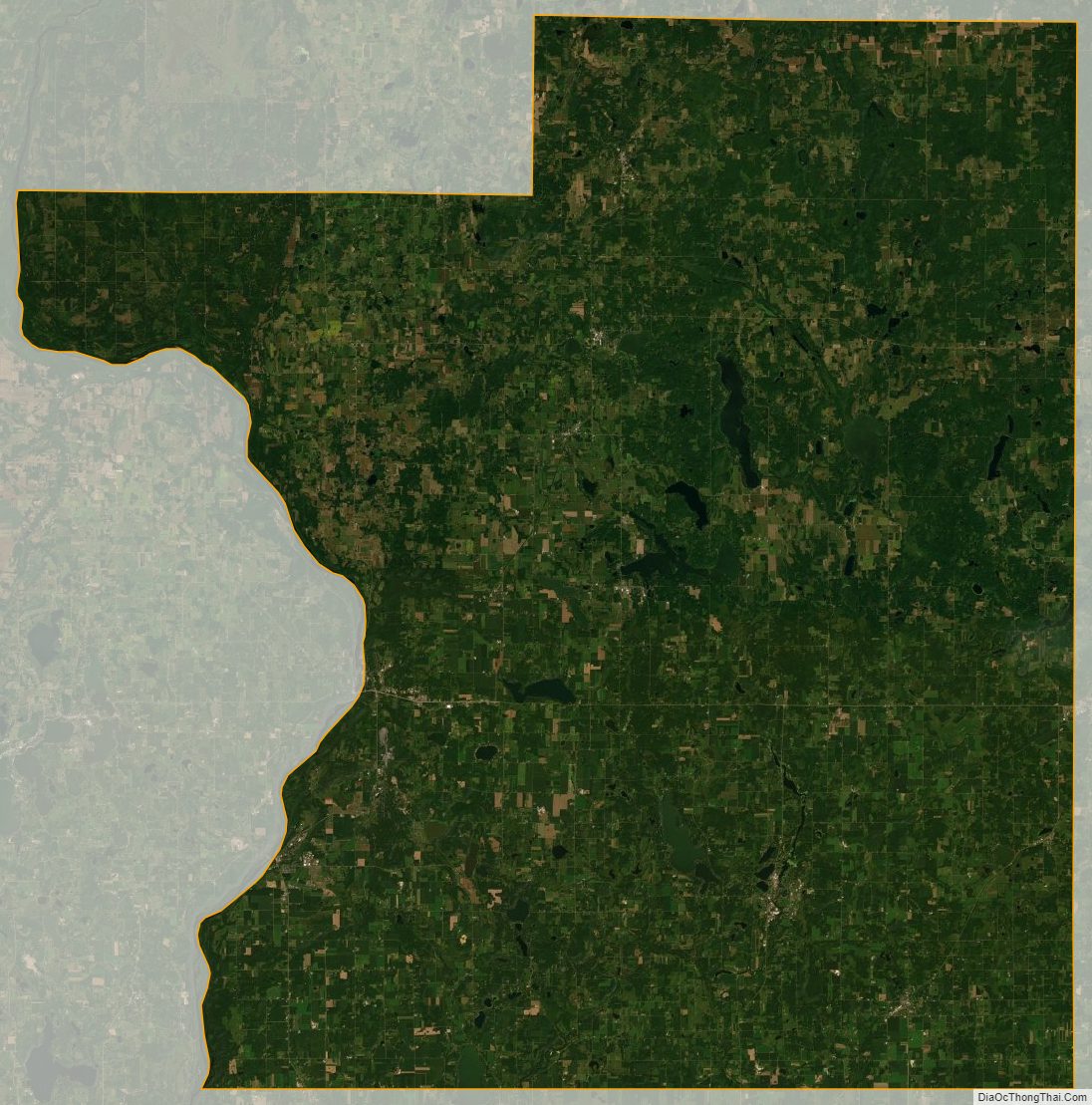
Polk County Satellite Map
Polk County Outline Map