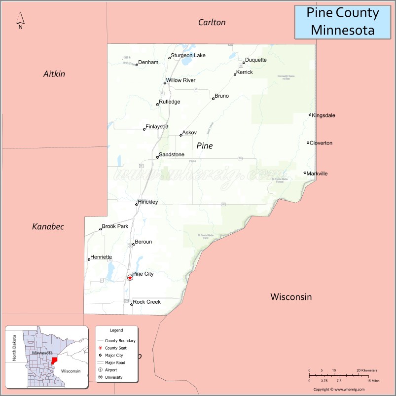
Pine County is a county in the U.S. state of Minnesota. As of the 2020 census, the population was 28,876. Its county seat is Pine City. The county was formed in 1856 and organized in 1872.
Part of the Mille Lacs Indian Reservation is in Pine County.
| Name: | Pine County |
|---|---|
| FIPS code: | 27-115 |
| State: | Minnesota |
| Founded: | 1856 |
| Named for: | The abundant pine trees in the area |
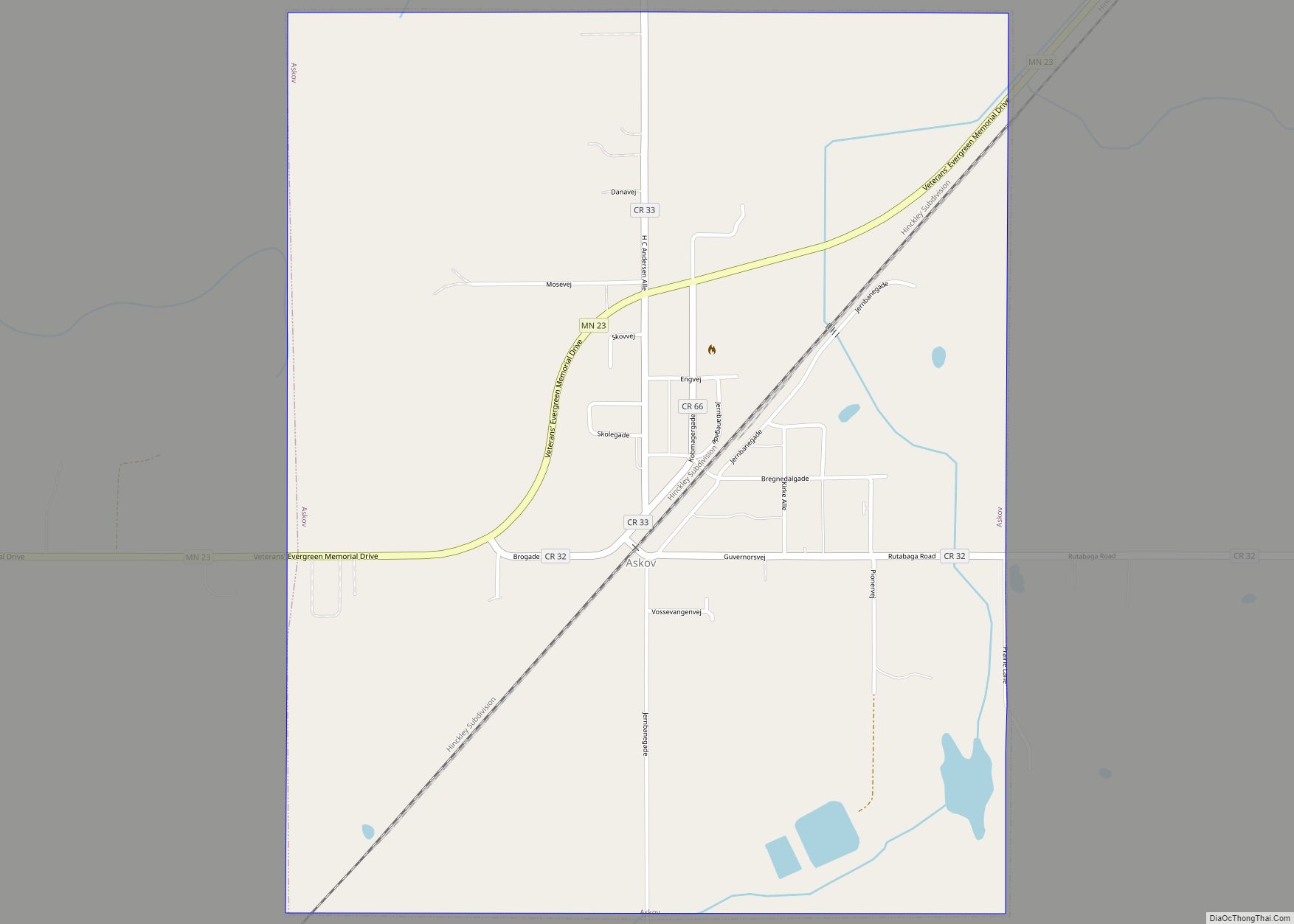
| Seat: | Pine City |
| Largest city: | Pine City |
| Total Area: | 1,435 sq mi (3,720 km²) |
| Land Area: | 1,411 sq mi (3,650 km²) |
| Total Population: | 28,876 |
| Population Density: | 20.5/sq mi (7.9/km²) |
| Time zone: | UTC−6 (Central) |
| Summer Time Zone (DST): | UTC−5 (CDT) |
| Website: | www.co.pine.mn.us |
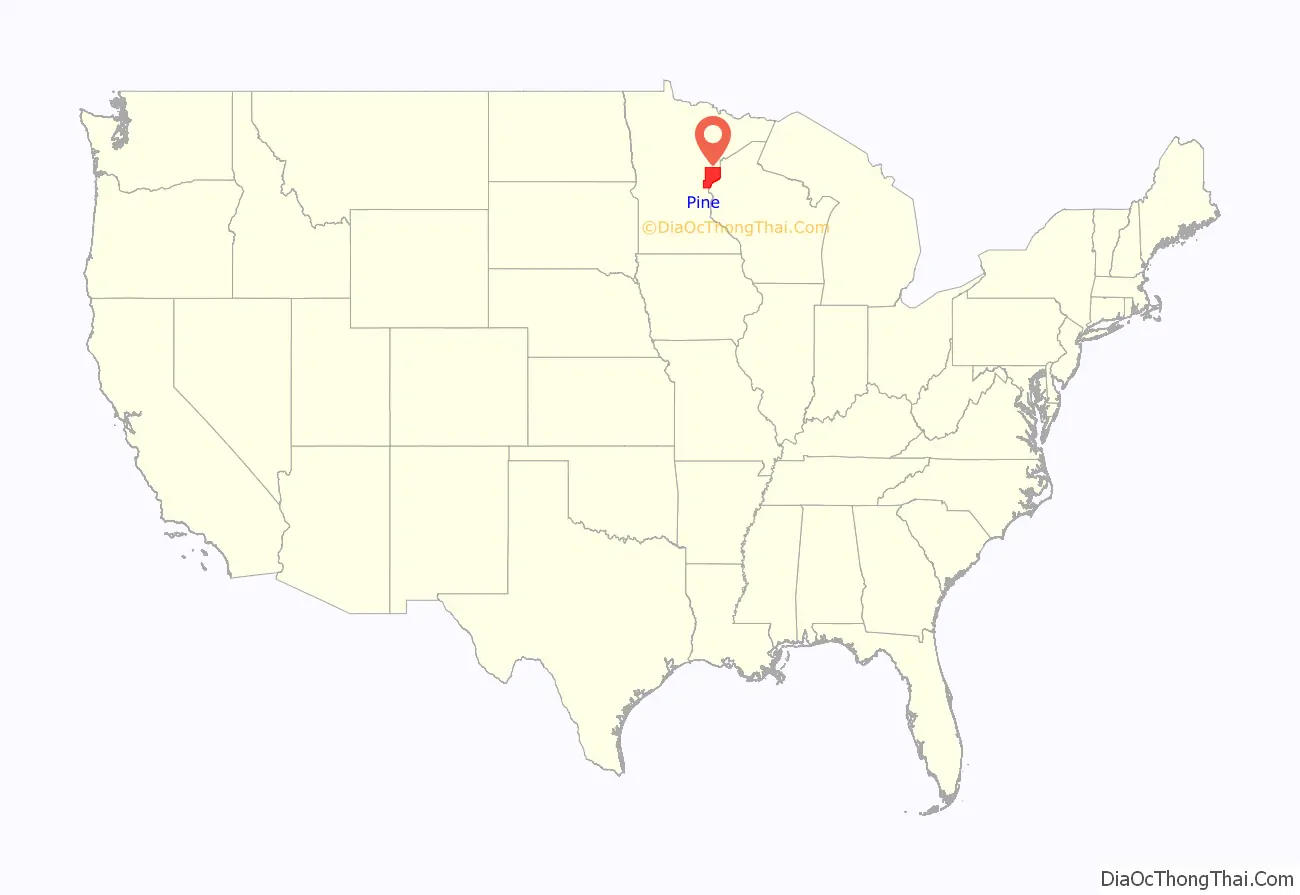
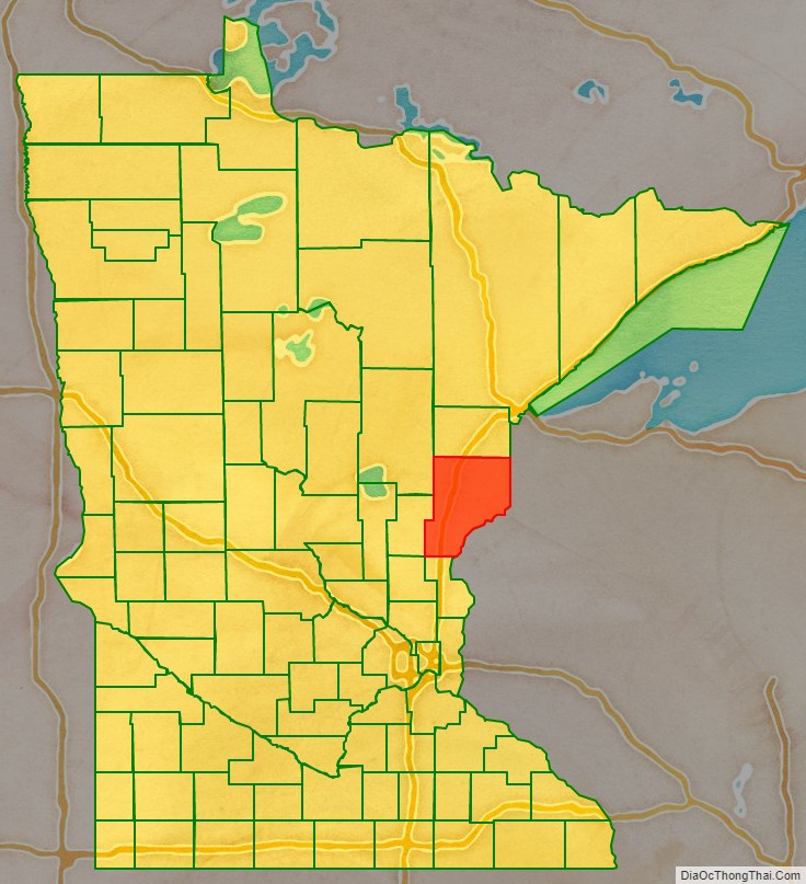
Pine County location map. Where is Pine County?
History
Pine County was organized on March 1, 1856, with territory partitioned from Chisago and Ramsey counties. The original county seat was Chengwatana. It was named for its abundant pine tree growth.
In 1857, Buchanan County in full and southern parts of Aitkin and Carlton Counties were formed from the original Pine County, with Kanabec County organized a year later. In 1861, Buchanan County was dissolved and folded into Pine County. Pine County was reorganized in 1872, with Pine City named as the county seat for the remaining smaller area.
Popular culture
Pine County has been featured in a series of mysteries by Dean Hovey.
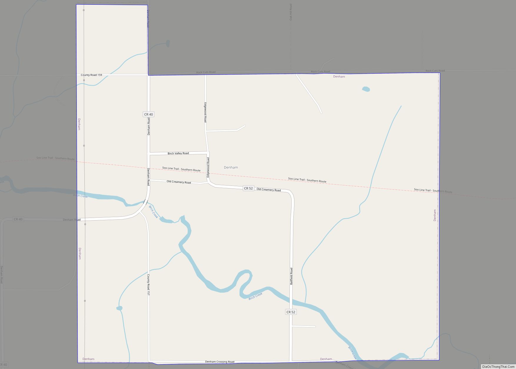
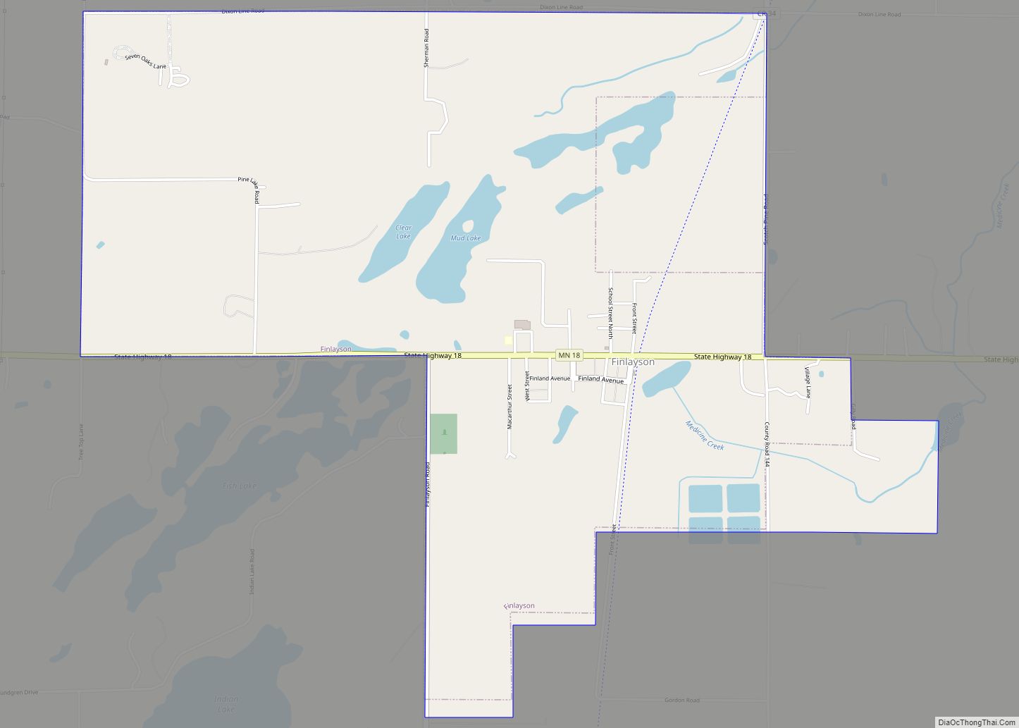
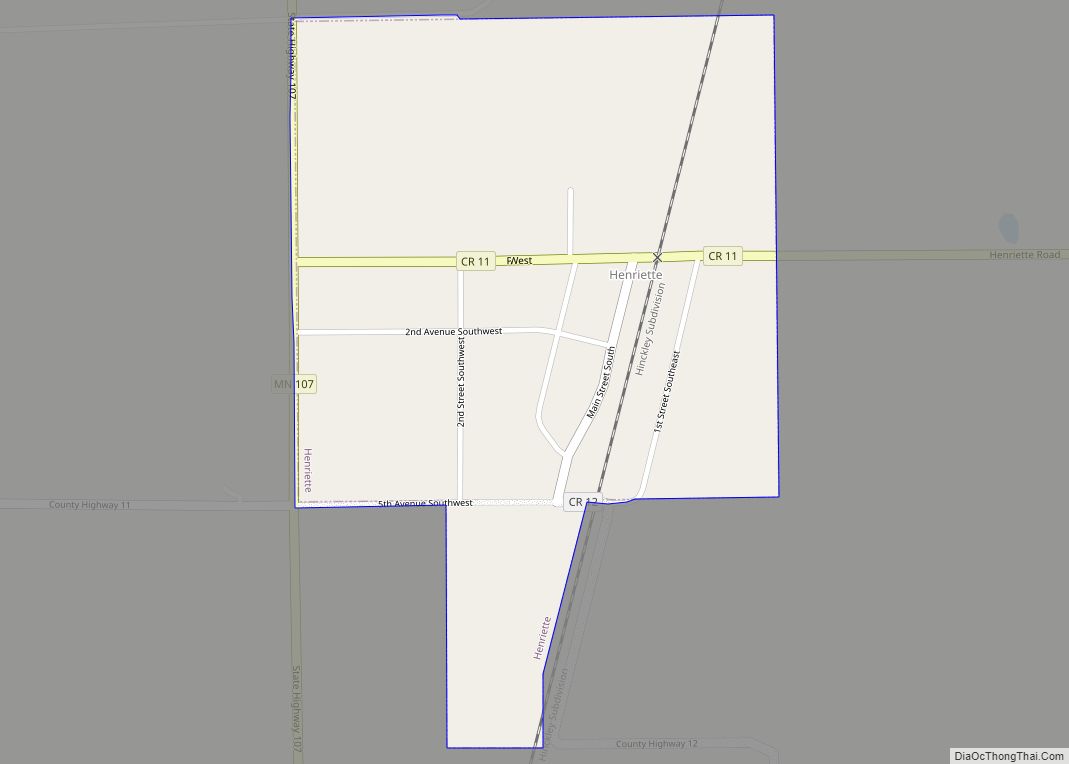
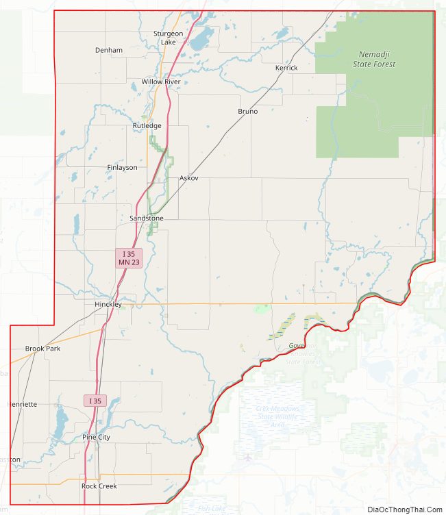
Pine County Road Map
Geography
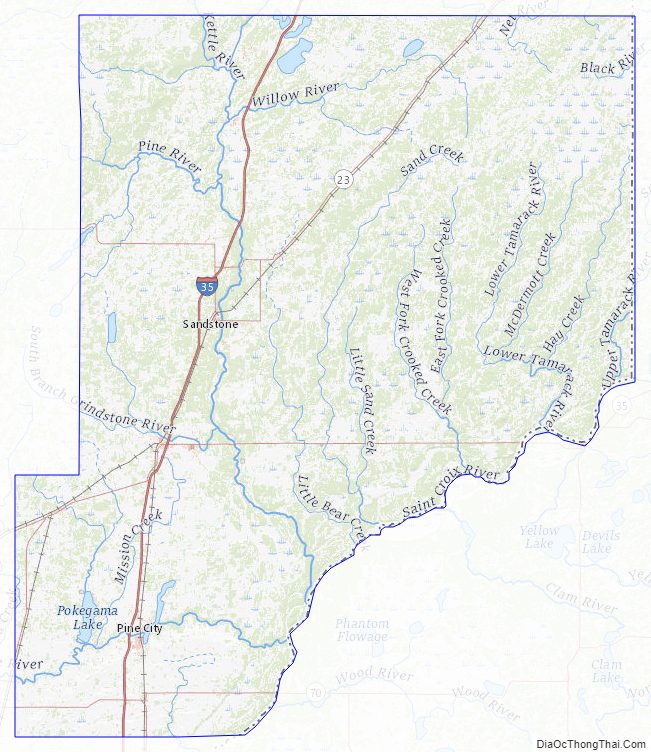
Pine County lies on the east side of Minnesota. Its southeast border abuts Wisconsin (across the St. Croix River). The St. Croix flows southerly along its border. The Kettle River flows southeastward through central Pine County, discharging into the St. Croix on the county’s east border, and the Snake River flows eastward through the lower part of the county toward its discharge point into the St. Croix. The county terrain consists of low rolling hills, carved with drainages, partly wooded and otherwise devoted to agriculture. The terrain slopes to the south and east, with its highest point near its northeast corner, at 1,319′ (402m) ASL. The county has an area of 1,435 square miles (3,720 km), of which 1,411 square miles (3,650 km) is land and 23 square miles (60 km) (1.6%) is water.
Major highways
- Interstate 35
- Minnesota State Highway 18
- Minnesota State Highway 23
- Minnesota State Highway 48
- Minnesota State Highway 70
- Minnesota State Highway 107
- Minnesota State Highway 123
- List of county roads
Adjacent counties
- Carlton County – north
- Douglas County, Wisconsin – northeast
- Burnett County, Wisconsin – east
- Chisago County – south
- Isanti County – southwest
- Kanabec County – west
- Aitkin County – northwest
Protected areas
- Banning State Park
- Chengwatana State Forest
- DAR Memorial State Forest
- General C. C. Andrews State Forest
- Kettle River Scientific and Natural Area
- Nemadji State Forest (part)
- Pine County State Game Refuge
- Saint Croix National Scenic Riverway (part)
- St. Croix State Park
- Wild River State Park (part)
Pine County Topographic Map
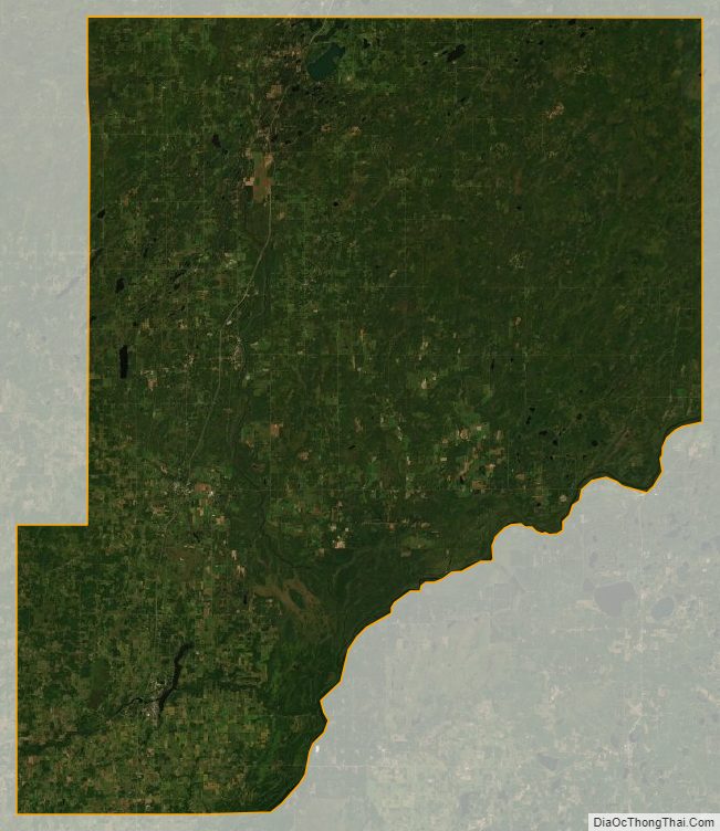
Pine County Satellite Map
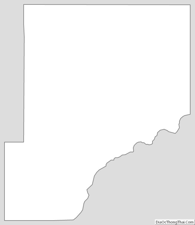
Pine County Outline Map