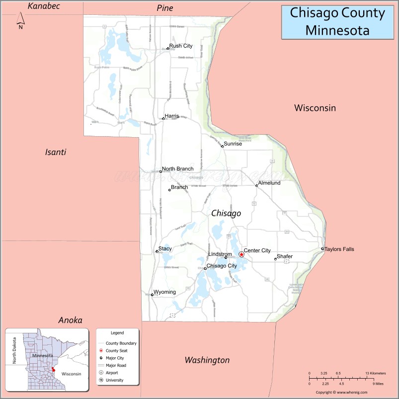
Chisago County (/ʃɪˈsɑːɡoʊ/ shi-SAH-goh) is a county in the U.S. state of Minnesota. As of the 2020 census, the population was 56,621. Its county seat is Center City.
Chisago County is part of the Minneapolis–St. Paul–Bloomington, MN-WI Metropolitan Statistical Area.
| Name: | Chisago County |
|---|---|
| FIPS code: | 27-025 |
| State: | Minnesota |
| Founded: | September 1, 1851 |
| Named for: | Chisago Lake |
| Seat: | Center City |
| Largest city: | North Branch |
| Total Area: | 442 sq mi (1,140 km²) |
| Land Area: | 415 sq mi (1,070 km²) |
| Total Population: | 56,621 |
| Population Density: | 136.4/sq mi (52.7/km²) |
| Time zone: | UTC−6 (Central) |
| Summer Time Zone (DST): | UTC−5 (CDT) |
| Website: | www.chisagocountymn.gov |
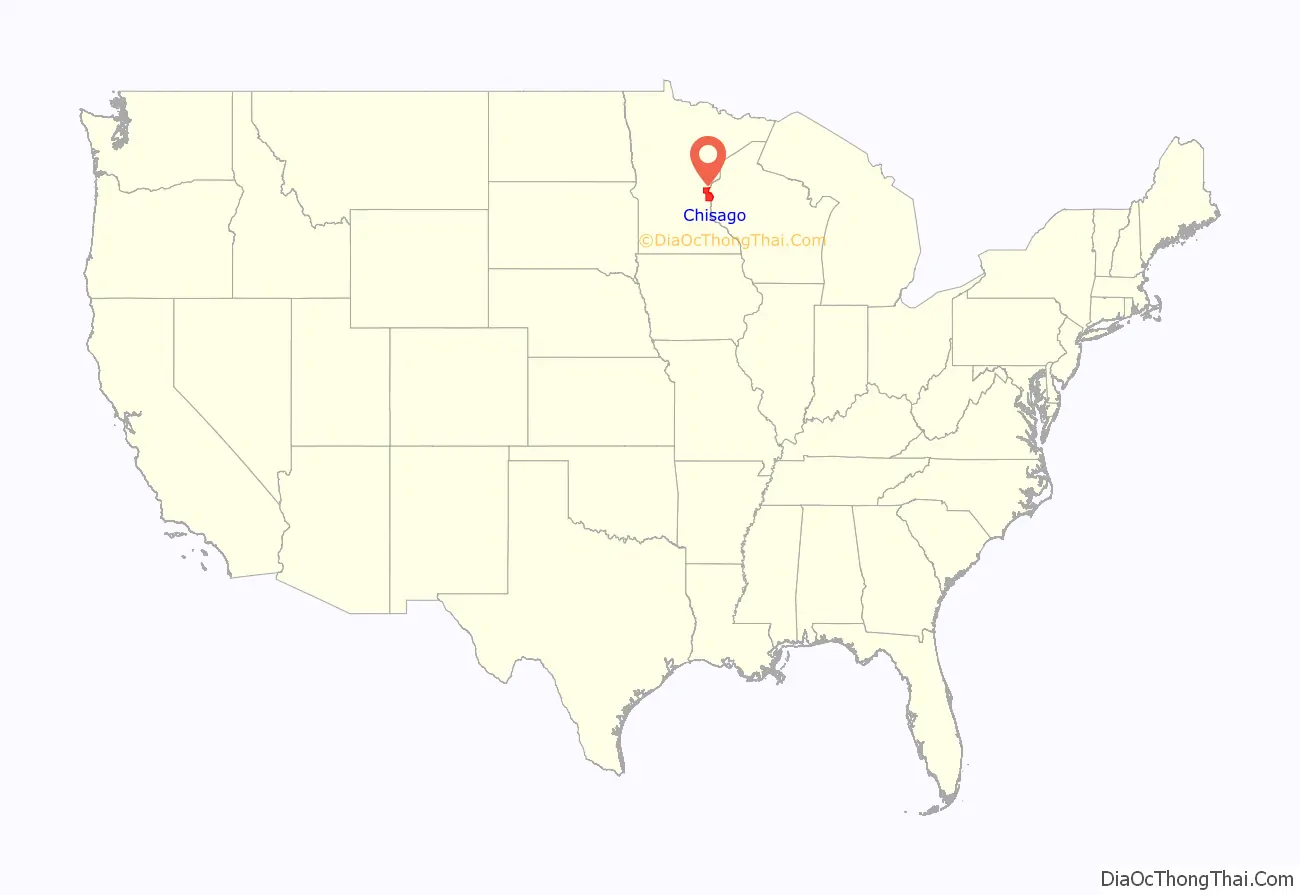
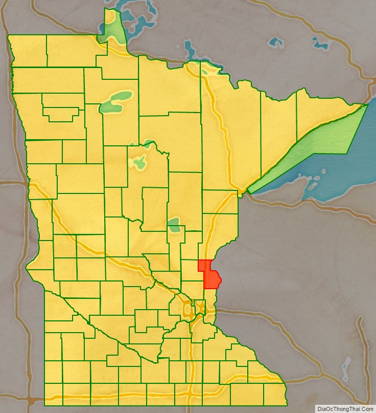
Chisago County location map. Where is Chisago County?
History
Chisago County was organized on September 1, 1851. It took its name from Chisago Lake. Swedish immigrants were the predominant group in Chisago County from the early to late 1800s, and strongly influenced the county’s religious and cultural development. The county has retained and continues to celebrate much of its Swedish heritage.
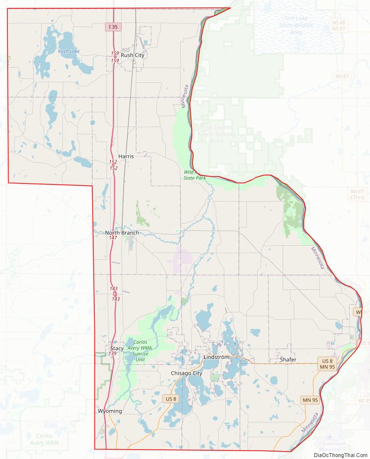
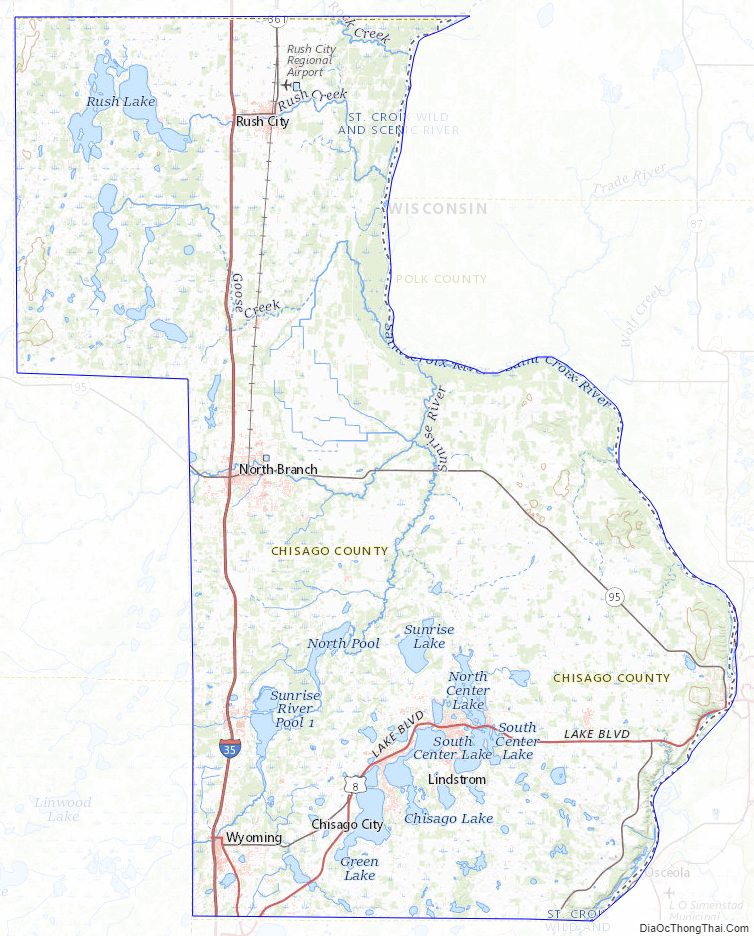
Chisago County Road Map
Geography
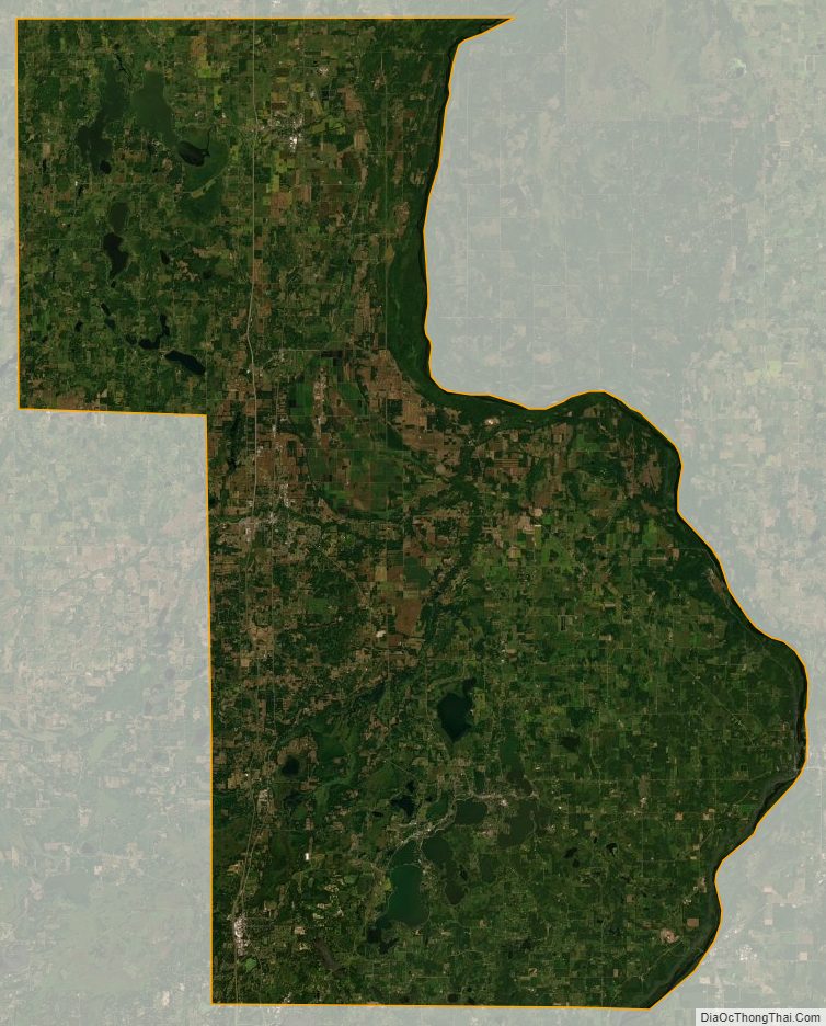
Chisago County lies on Minnesota’s eastern border, abutting the western border of Wisconsin (across the Saint Croix River). The Saint Croix flows south-southeast along the county’s eastern border. The Sunrise River flows north through the county’s central part, collecting the waters of the North Branch Sunrise River and Hay Creek before discharging into the St. Croix at the county’s eastern boundary. The county terrain consists of rolling hills, devoted to agriculture. The terrain slopes to the south and east, with its highest point near the northwest corner, at 1,017′ (310m) ASL. The county has an area of 442 square miles (1,140 km), of which 415 square miles (1,070 km) is land and 28 square miles (73 km) (6.2%) is water.
Major highways
- Interstate 35
- US Highway 8
- US Highway 61
- Minnesota State Highway 95
- Minnesota State Highway 243
- List of county roads
Adjacent counties
- Pine County – north
- Burnett County, Wisconsin – northeast
- Polk County, Wisconsin – east
- Washington County – south
- Anoka County – southwest
- Isanti County – west
- Kanabec County – northwest
Protected areas
- Fish Lake County Park
- Franconia Bluffs Scientific and Natural Area
- Interstate State Park
- Lawrence Creek Scientific and Natural Area
- Ojiketa Regional Park
- Saint Croix National Scenic Riverway (part)
- Wild River State Park
Chisago County Topographic Map
Chisago County Satellite Map
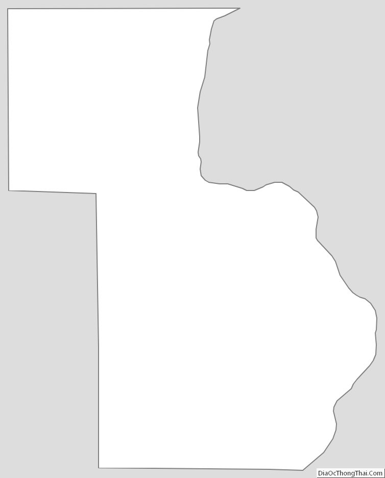
Chisago County Outline Map