Butler County is a county located in the southeast Ozark Foothills Region in the U.S. state of Missouri. As of the 2020 Census, the county’s population was 42,130. The largest city and county seat is Poplar Bluff. The county was officially organized from Wayne County on February 27, 1849, and is named after former U.S. Representative William O. Butler (D-Kentucky), who was also an unsuccessful candidate for Vice President of the United States. The first meeting in the Butler County Courthouse was held on June 18, 1849.
Butler County comprises the Poplar Bluff, MO Micropolitan Statistical Area.
| Name: | Butler County |
|---|---|
| FIPS code: | 29-023 |
| State: | Missouri |
| Founded: | February 27, 1849 |
| Named for: | William Orlando Butler |
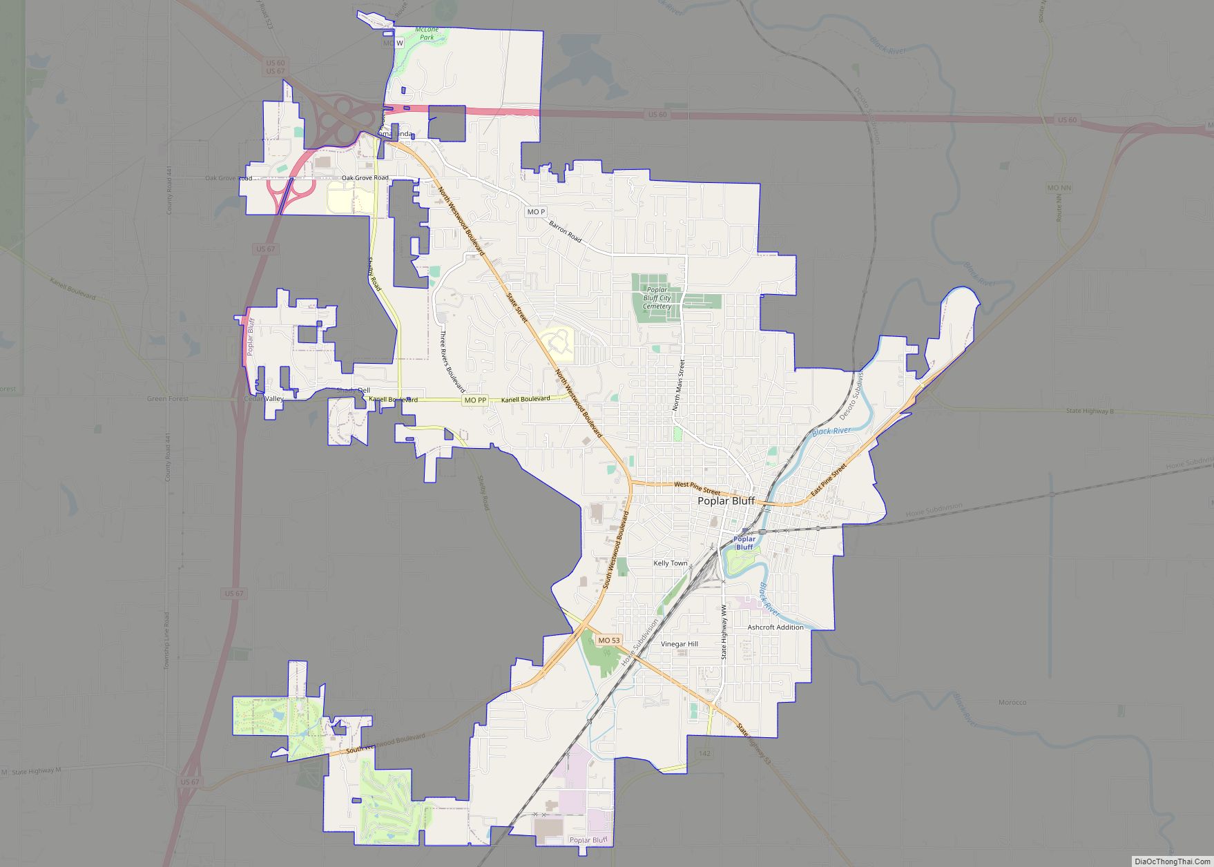
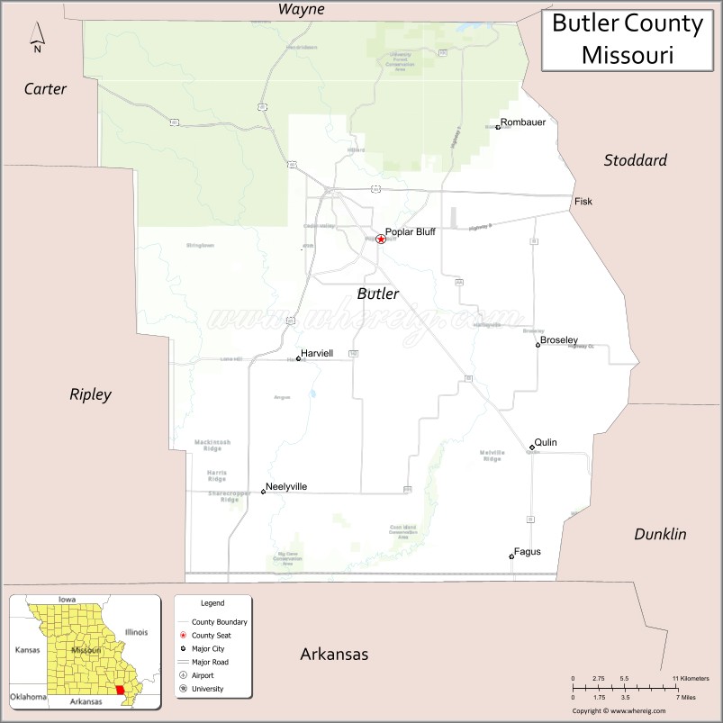
| Seat: | Poplar Bluff |
| Largest city: | Poplar Bluff |
| Total Area: | 699 sq mi (1,810 km²) |
| Land Area: | 695 sq mi (1,800 km²) |
| Total Population: | 42,130 |
| Population Density: | 60/sq mi (23/km²) |
| Time zone: | UTC−6 (Central) |
| Summer Time Zone (DST): | UTC−5 (CDT) |
| Website: | butlercountymo.com |
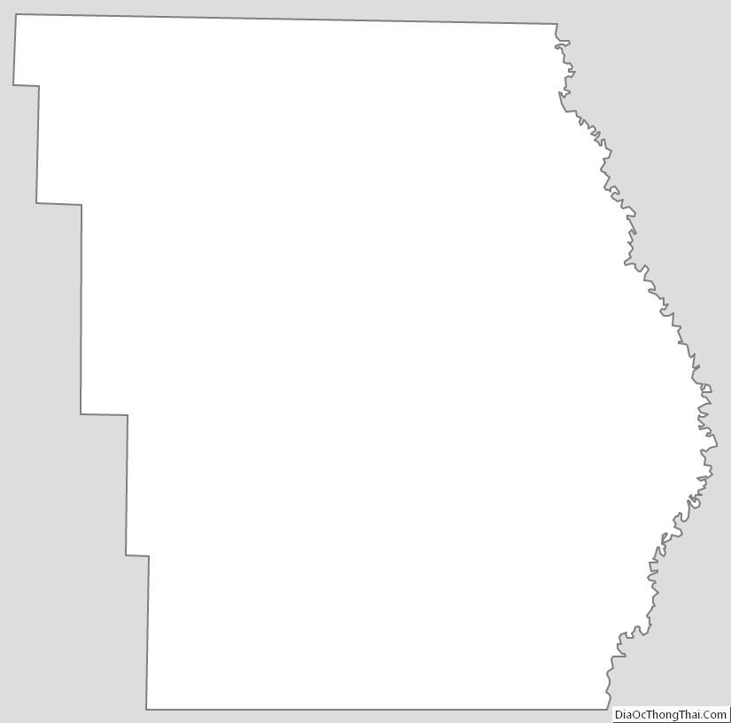
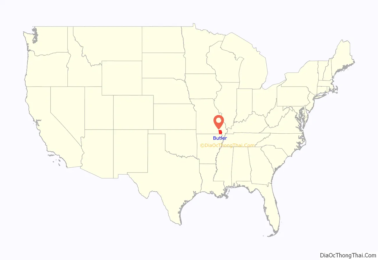
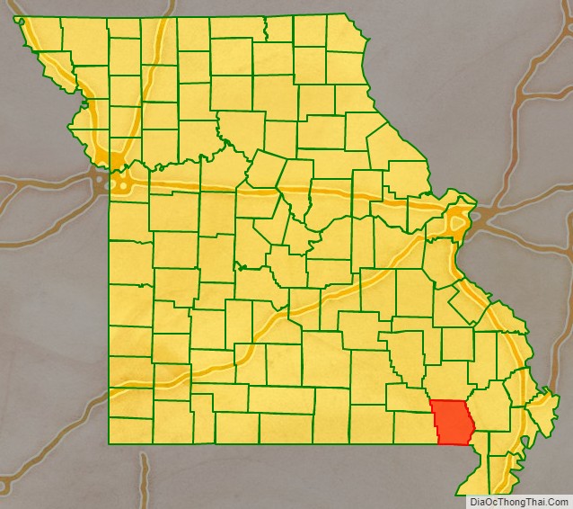
Butler County location map. Where is Butler County?
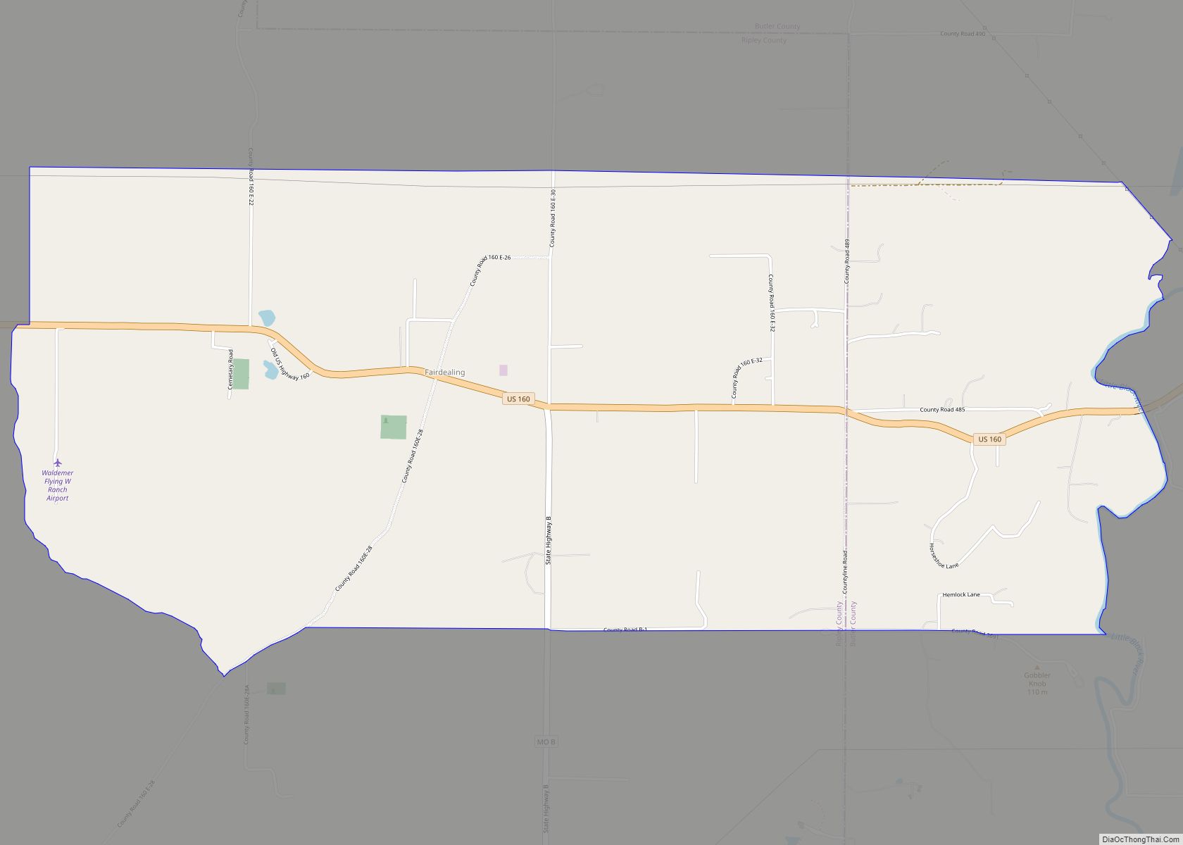
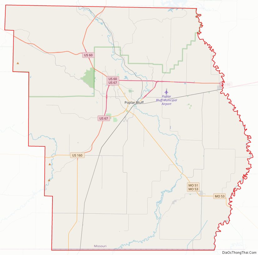
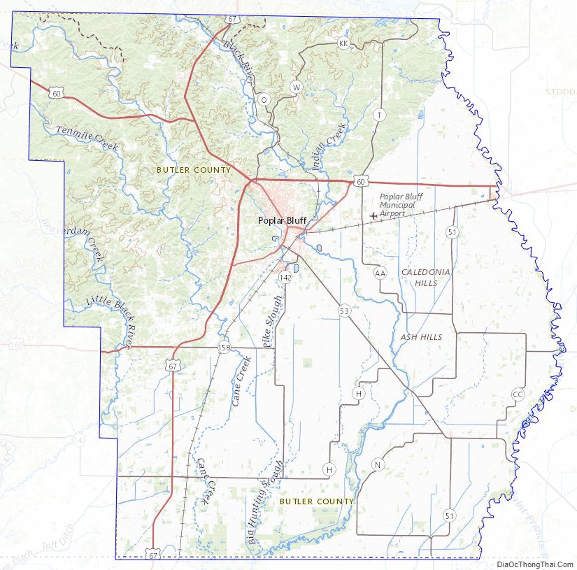
Butler County Road Map
Geography
According to the U.S. Census Bureau, the county has a total area of 699 square miles (1,810 km), of which 695 square miles (1,800 km) is land and 4.3 square miles (11 km) (0.6%) is water.
Adjacent counties
- Wayne County (north)
- Stoddard County (northeast)
- Dunklin County (southeast)
- Clay County, Arkansas (south)
- Ripley County (west)
- Carter County (northwest)
Major highways
- Future Interstate 57
- U.S. Route 60
- U.S. Route 67
- U.S. Route 160
- Route 51
- Route 53
- Route 142
National protected area
- Mark Twain National Forest (part)
Butler County Topographic Map
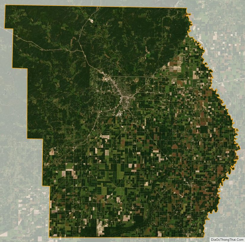
Butler County Satellite Map
Butler County Outline Map