Poplar Bluff is a city in Butler County in Southeast Missouri, United States. It is the county seat of Butler County and is known as “The Gateway to the Ozarks” among other names. The population was 16,225 at the 2020 census. The Poplar Bluff Micropolitan Statistical Area consists of all of Butler County. The city is at the crossroads of U.S. Route 60 and U.S. Route 67.
| Name: | Poplar Bluff city |
|---|---|
| LSAD Code: | 25 |
| LSAD Description: | city (suffix) |
| State: | Missouri |
| County: | Butler County |
| Elevation: | 348 ft (106 m) |
| Total Area: | 13.21 sq mi (34.22 km²) |
| Land Area: | 13.14 sq mi (34.03 km²) |
| Water Area: | 0.07 sq mi (0.19 km²) |
| Total Population: | 16,225 |
| Population Density: | 1,234.87/sq mi (476.78/km²) |
| Area code: | 573 |
| FIPS code: | 2959096 |
| GNISfeature ID: | 2396252 |
| Website: | www.poplarbluff-mo.gov |
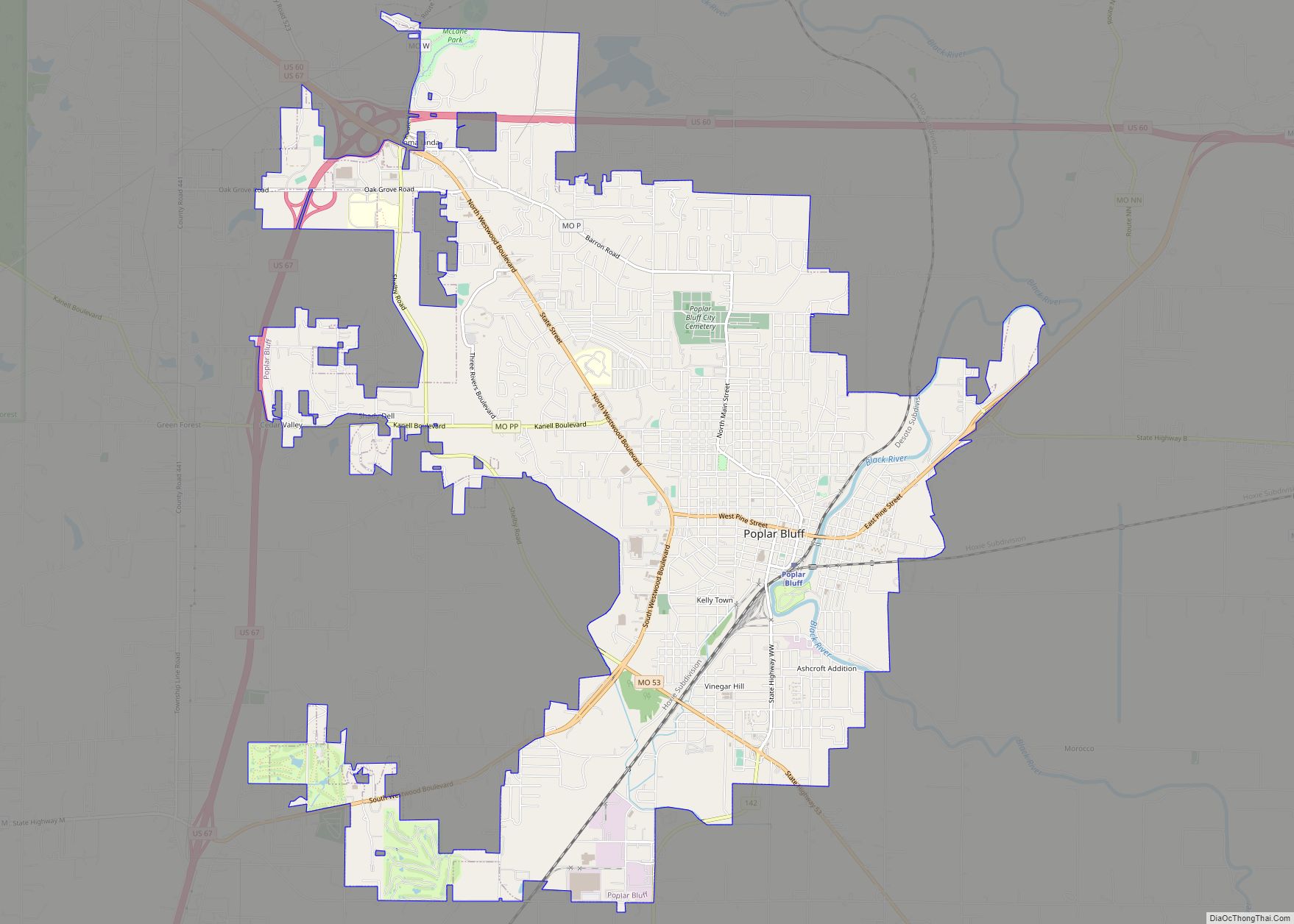
Online Interactive Map
Click on ![]() to view map in "full screen" mode.
to view map in "full screen" mode.
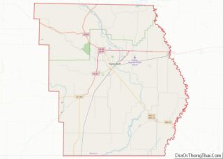
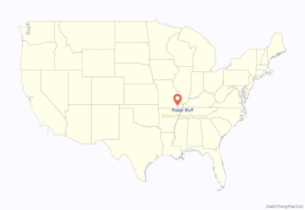
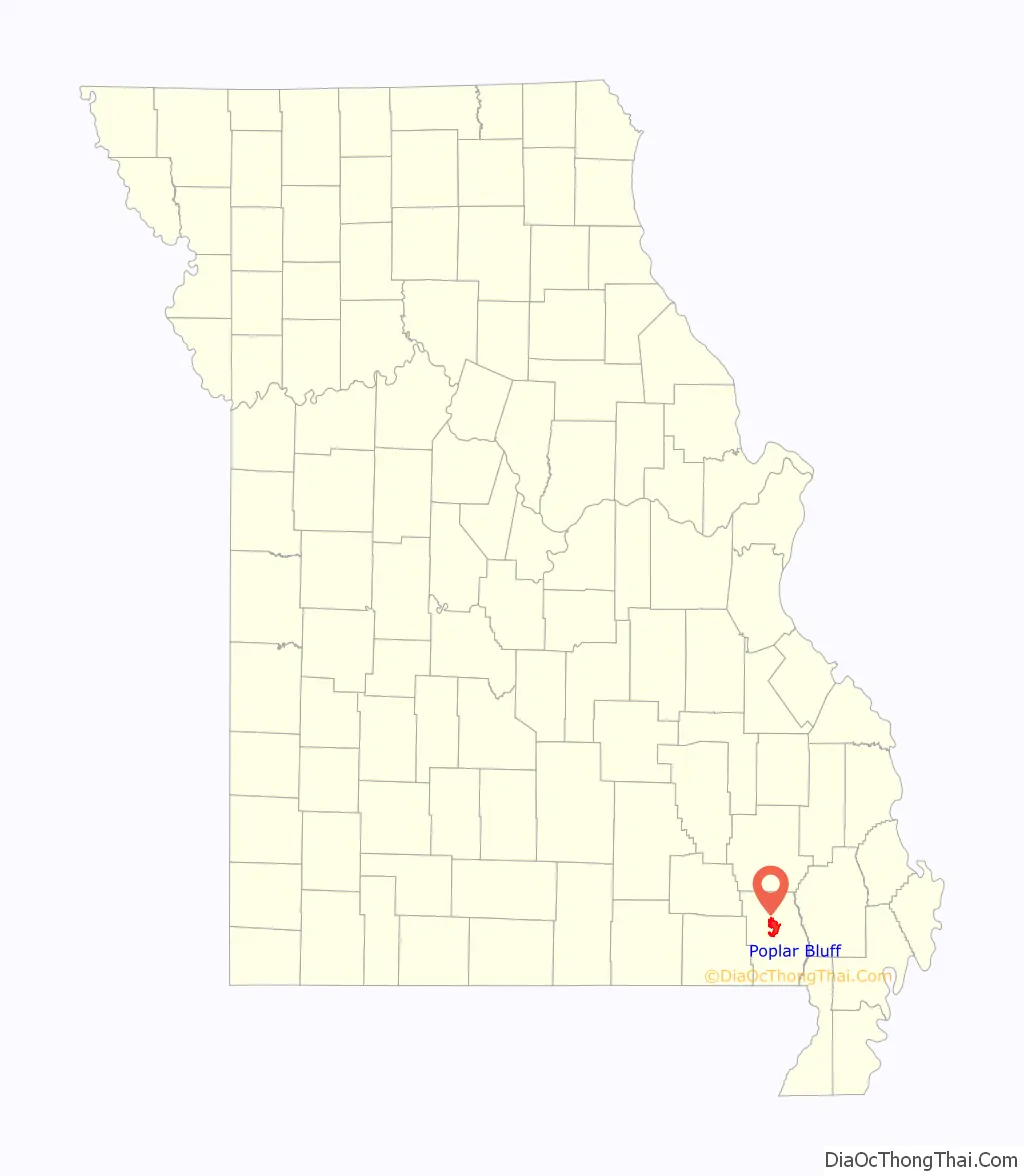
Poplar Bluff location map. Where is Poplar Bluff city?
History
The French were the first Europeans to assert any territorial rights over the Poplar Bluff area. The French held the area until 1770 when it was ceded by treaty to Spain. Spain held the area until 1802 when it was returned to France. During this time the area of Poplar Bluff, as well as all of Butler County, held almost no European settlements until 1819, when the first white settler family moved into the Poplar Bluff area. It was reported that about 300 Native Americans resided in the area at that time.
The earliest permanent settlements in what is now Butler County occurred in the early 19th century along the Natchitoches Trail, an old Native American Trail west of what is now Poplar Bluff on Ten Mile Creek and Cane Creek. Butler County was organized in 1849 and Poplar Bluff was chosen as the county seat. In 1855 the first courthouse was built and the town grew.
On May 9, 1927 a tornado leveled most of the city, especially the original business district along Main and Broadway streets. The tornado killed 98 people, tying it as the seventeenth deadliest tornado in U.S. history.
Several buildings in Poplar Bluff are listed on the National Register of Historic Places, including the Butler County Courthouse, Cynthia-Kinzer Historic District, Alfred W. Greer House, Hargrove Pivot Bridge, Mark Twain School, J. Herbert Moore House, Thomas Moore House, Moore-Dalton House, North Main Street Historic District, John Archibald Phillips House, Poplar Bluff Commercial Historic District, Poplar Bluff Public Library, Rodgers Theatre Building, South Sixth Street Historic District, St. Louis, Iron Mountain and Southern Railroad Depot, St. Louis-San Francisco Railroad Depot, Wheatley Public School, Williams-Gierth House, Williamson-Kennedy School, Wright-Dalton-Bell-Anchor Department Store Building, and Zehe Building.
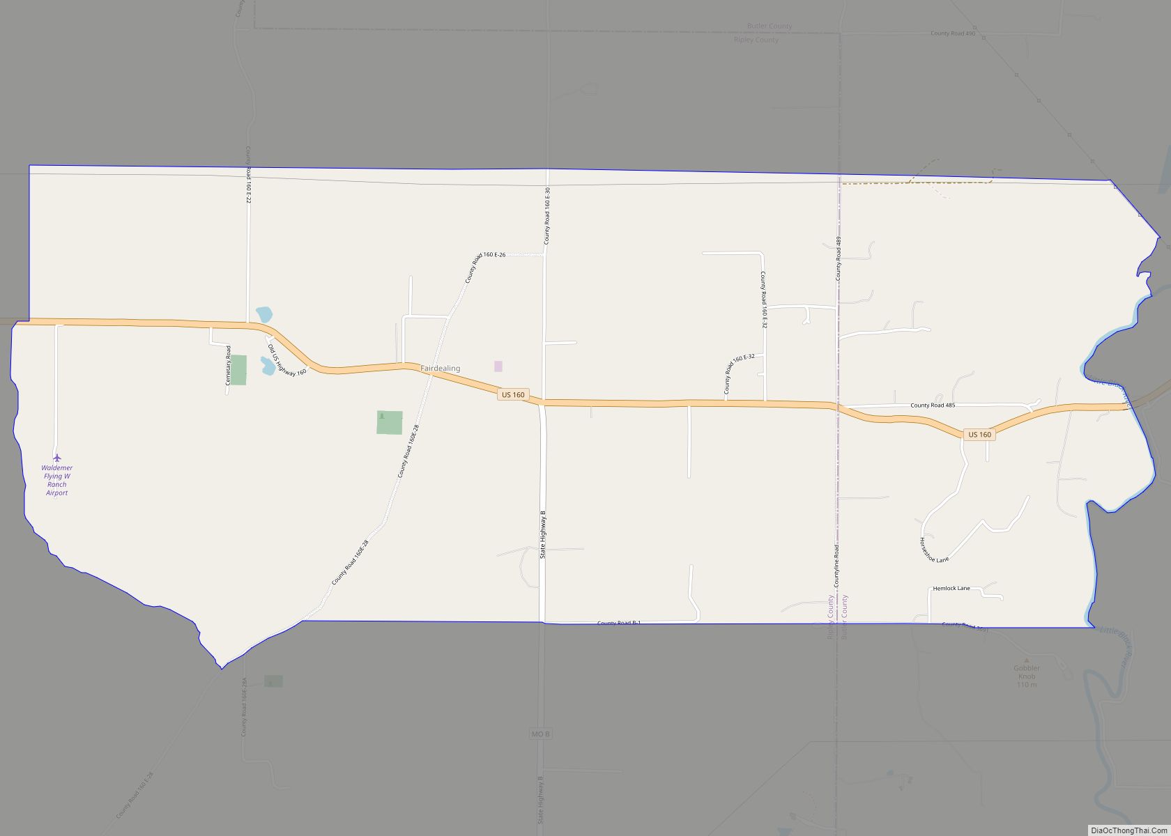
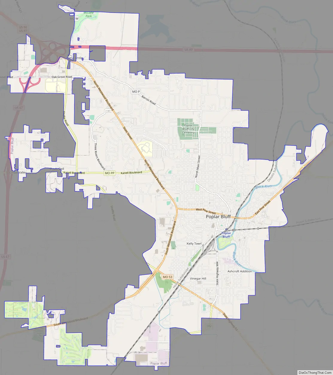
Poplar Bluff Road Map
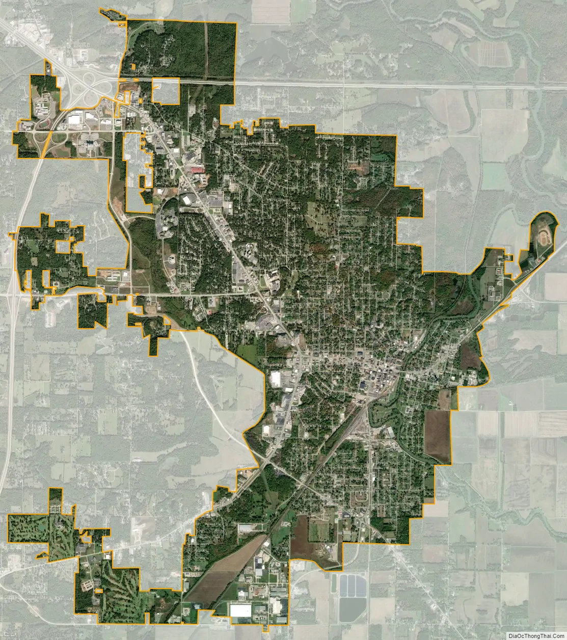
Poplar Bluff city Satellite Map
Geography
Poplar Bluff is located along the Black River. According to the United States Census Bureau, the city has a total area of 12.98 square miles (33.62 km), of which 12.91 square miles (33.44 km) is land and 0.07 square miles (0.18 km) is water.
Poplar Bluff takes its name from a bluff that overlooks the Black River. When first settled, the bluff was covered with tulip poplar trees. The Butler County Courthouse and the offices of the city’s Daily American Republic newspaper sit on this site. Poplar Bluff lies along an escarpment separating the foothills of the Ozarks from the Mississippi embayment of Southeast Missouri. The foothills lie to the north and west and the embayment is to the south and east. The surrounding area is commonly known as the “Three Rivers” with many local organizations and businesses using the name. The three rivers—Current River, Black River, and St. Francis River—are 40 miles apart with Poplar Bluff located in the center on the Black River.
See also
Map of Missouri State and its subdivision:- Adair
- Andrew
- Atchison
- Audrain
- Barry
- Barton
- Bates
- Benton
- Bollinger
- Boone
- Buchanan
- Butler
- Caldwell
- Callaway
- Camden
- Cape Girardeau
- Carroll
- Carter
- Cass
- Cedar
- Chariton
- Christian
- Clark
- Clay
- Clinton
- Cole
- Cooper
- Crawford
- Dade
- Dallas
- Daviess
- De Kalb
- Dent
- Douglas
- Dunklin
- Franklin
- Gasconade
- Gentry
- Greene
- Grundy
- Harrison
- Henry
- Hickory
- Holt
- Howard
- Howell
- Iron
- Jackson
- Jasper
- Jefferson
- Johnson
- Knox
- Laclede
- Lafayette
- Lawrence
- Lewis
- Lincoln
- Linn
- Livingston
- Macon
- Madison
- Maries
- Marion
- McDonald
- Mercer
- Miller
- Mississippi
- Moniteau
- Monroe
- Montgomery
- Morgan
- New Madrid
- Newton
- Nodaway
- Oregon
- Osage
- Ozark
- Pemiscot
- Perry
- Pettis
- Phelps
- Pike
- Platte
- Polk
- Pulaski
- Putnam
- Ralls
- Randolph
- Ray
- Reynolds
- Ripley
- Saint Charles
- Saint Clair
- Saint Francois
- Saint Louis
- Sainte Genevieve
- Saline
- Schuyler
- Scotland
- Scott
- Shannon
- Shelby
- Stoddard
- Stone
- Sullivan
- Taney
- Texas
- Vernon
- Warren
- Washington
- Wayne
- Webster
- Worth
- Wright
- Alabama
- Alaska
- Arizona
- Arkansas
- California
- Colorado
- Connecticut
- Delaware
- District of Columbia
- Florida
- Georgia
- Hawaii
- Idaho
- Illinois
- Indiana
- Iowa
- Kansas
- Kentucky
- Louisiana
- Maine
- Maryland
- Massachusetts
- Michigan
- Minnesota
- Mississippi
- Missouri
- Montana
- Nebraska
- Nevada
- New Hampshire
- New Jersey
- New Mexico
- New York
- North Carolina
- North Dakota
- Ohio
- Oklahoma
- Oregon
- Pennsylvania
- Rhode Island
- South Carolina
- South Dakota
- Tennessee
- Texas
- Utah
- Vermont
- Virginia
- Washington
- West Virginia
- Wisconsin
- Wyoming