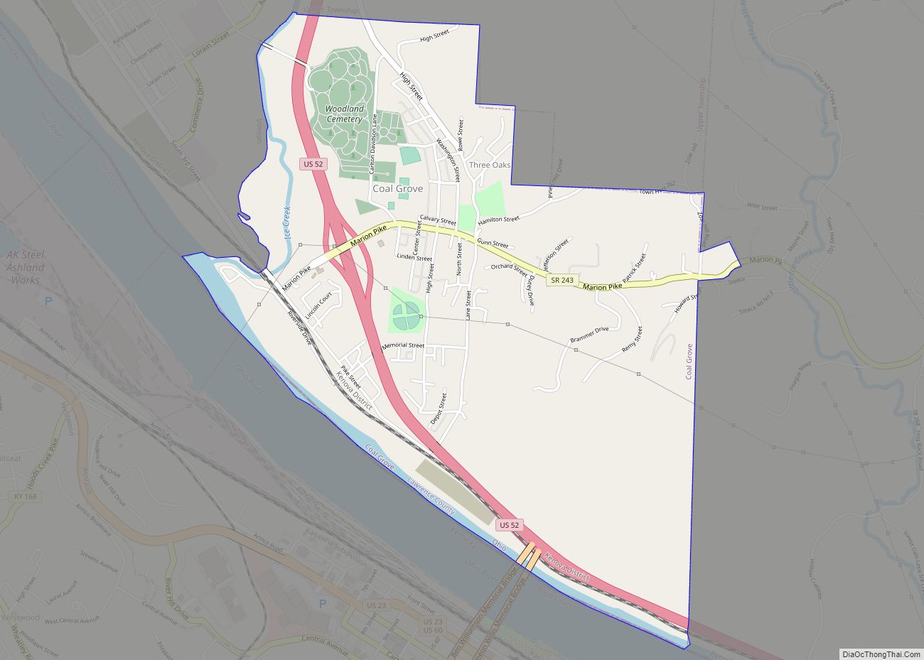
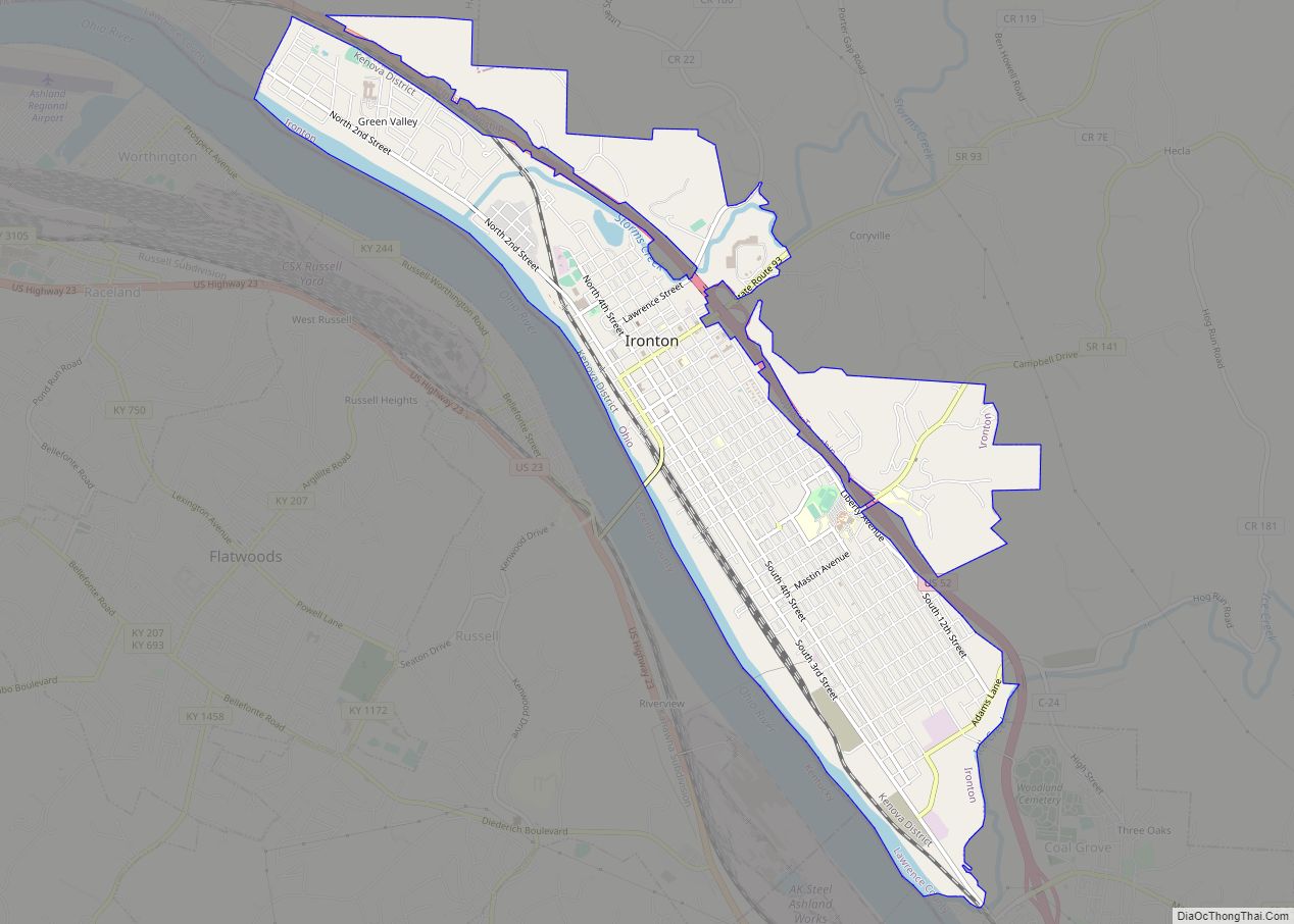
Lawrence County is the southernmost county located in the U.S. state of Ohio. As of the 2020 census, the population was 58,240. Its county seat is Ironton. The county was created in 1815 and later organized in 1817. It is named for James Lawrence, the naval officer famous for the line “do not give up the ship”. Lawrence County is part of the Huntington–Ashland metropolitan area.
| Name: | Lawrence County |
|---|---|
| FIPS code: | 39-087 |
| State: | Ohio |
| Founded: | March 1, 1817 |
| Named for: | James Lawrence |
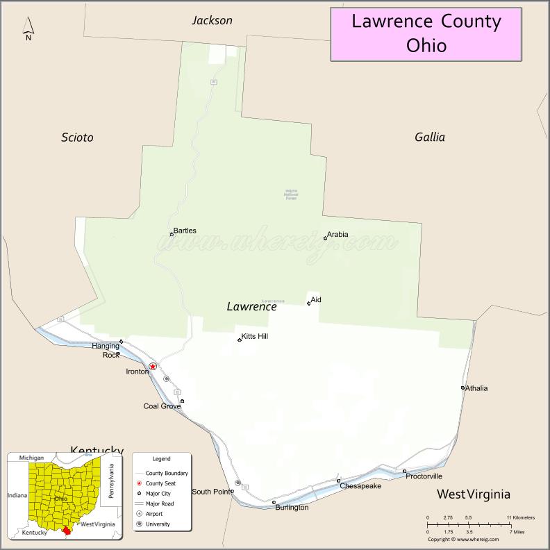
| Seat: | Ironton |
| Largest city: | Ironton |
| Total Area: | 457 sq mi (1,180 km²) |
| Land Area: | 453 sq mi (1,170 km²) |
| Total Population: | 58,240 |
| Population Density: | 130/sq mi (50/km²) |
| Time zone: | UTC−5 (Eastern) |
| Summer Time Zone (DST): | UTC−4 (EDT) |
| Website: | www.lawrencecountyohio.org |
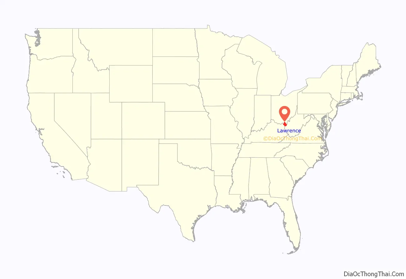
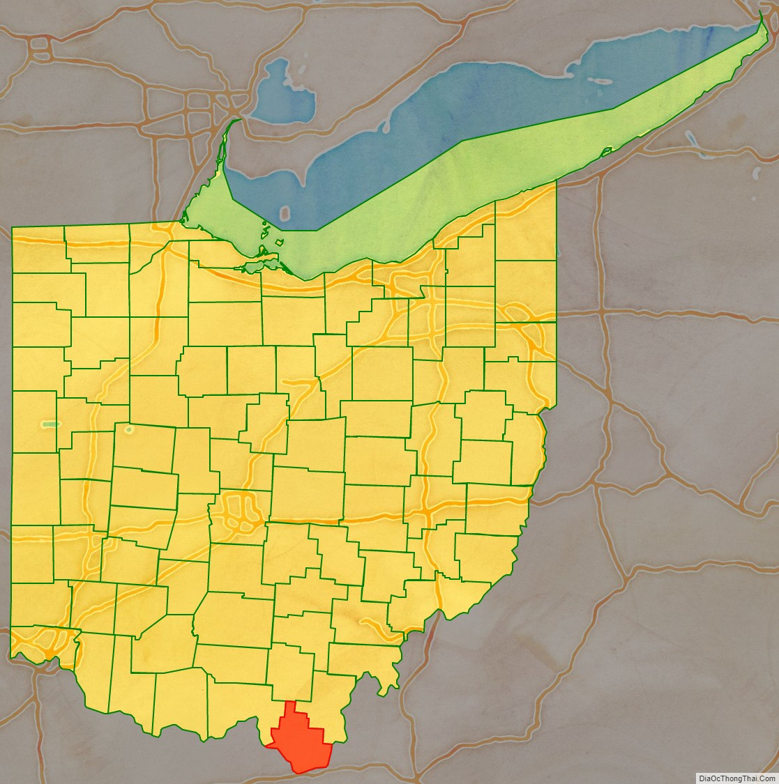
Lawrence County location map. Where is Lawrence County?
History
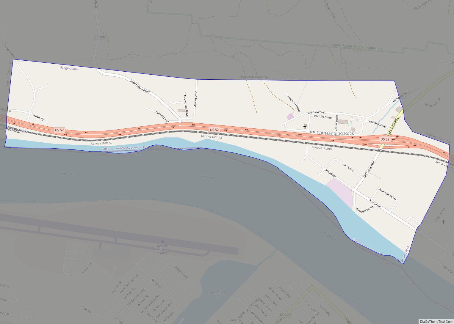
The earliest European-American settlers, Luke Kelly and his family, and May Keyser, settled at Hanging Rock along the Ohio River in 1796, having migrated from the east. Lawrence County was formed on December 20, 1816, from parts of Gallia and Scioto counties, with the county seat named as Burlington. In 1851 the county seat was moved from Burlington to Ironton. A new courthouse was built at that time. It burned in 1857. The present Lawrence County Courthouse was built in 1908.
Men from Lawrence County served in the Mexican–American War, with at least one having died during that conflict. By 1862, about 3,200 of Lawrence County’s men were soldiers in the Union Army in the American Civil War. During World War I, 2,200 of Lawrence County’s men served in the armed forces, and 99 died.
When first settled, Lawrence County was rich in natural resources such as iron, timber, coal, natural gas, oil, and salt. By the beginning of the twentieth century, many of these had been depleted by resource extraction and industrial development.
Lawrence County Road Map
Geography
According to the U.S. Census Bureau, the county has a total area of 457 square miles (1,180 km), of which 453 square miles (1,170 km) is land and 3.9 square miles (10 km) (0.9%) is water. It is the southernmost county in the state of Ohio and part of Appalachian Ohio.
Adjacent counties
- Jackson County (north)
- Gallia County (northeast)
- Cabell County, West Virginia (southeast)
- Wayne County, West Virginia (south)
- Boyd County, Kentucky (southwest)
- Greenup County, Kentucky (southwest)
- Scioto County (northwest)
National protected area
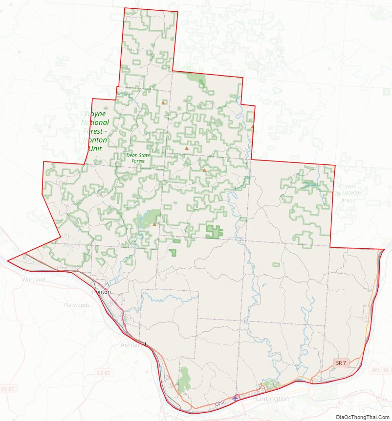
- Wayne National Forest (part)
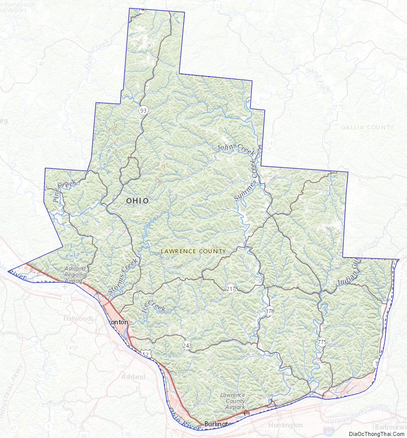
Lawrence County Topographic Map
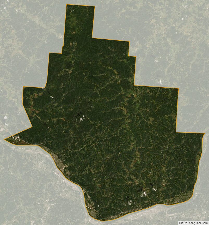
Lawrence County Satellite Map
Lawrence County Outline Map