Lincoln County is a county in the U.S. state of West Virginia. As of the 2020 census, the population was 20,463. Its county seat is Hamlin. The county was created in 1867 and named for Abraham Lincoln.
Lincoln County is part of the Huntington-Ashland, WV-KY-OH Metropolitan Statistical Area.
| Name: | Lincoln County |
|---|---|
| FIPS code: | 54-043 |
| State: | West Virginia |
| Founded: | February 23, 1867 |
| Named for: | Abraham Lincoln |
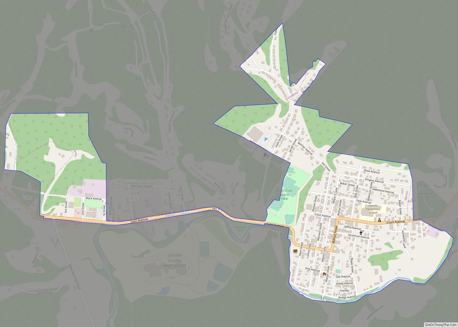
| Seat: | Hamlin |
| Largest town: | Hamlin |
| Total Area: | 439 sq mi (1,140 km²) |
| Land Area: | 437 sq mi (1,130 km²) |
| Total Population: | 20,463 |
| Population Density: | 47/sq mi (18/km²) |
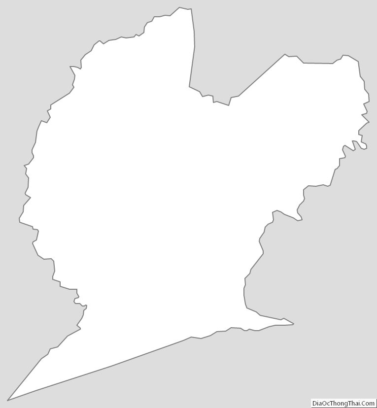
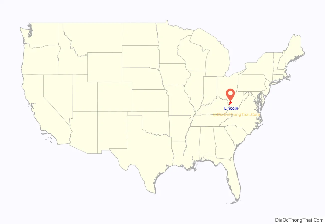
Lincoln County location map. Where is Lincoln County?
History
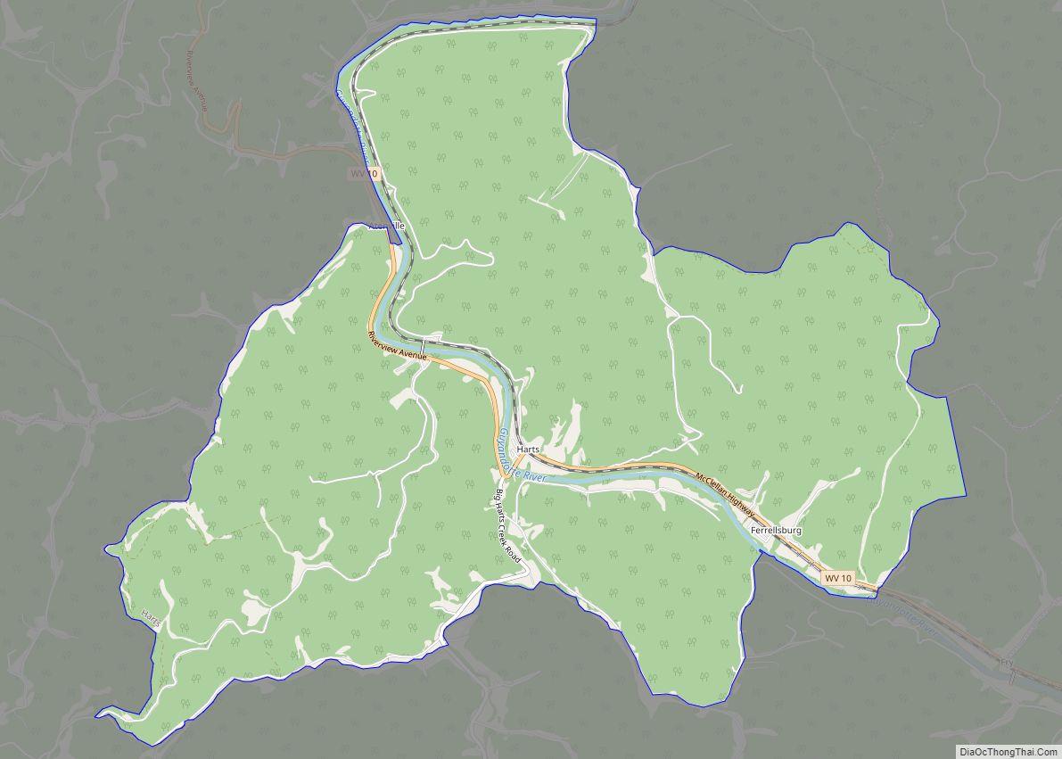
Lincoln County was created by an act of the West Virginia Legislature on February 23, 1867, from parts of Boone, Cabell, Kanawha and Putnam counties. By 1869, the county had returned much of its Putnam County territory and absorbed the northern portion of Logan County and a portion of Wayne County. In 1869, Harts Creek Township (later district) was created from this latter region. Lincoln County is one of five counties created by West Virginia since the Civil War. Hamlin, seat of government for the county, was established in 1853.
Jesse, John, David, William, and Moses McComas were the first Anglo settlers in what is now Lincoln County. They cultivated 20 acres (81,000 m) of corn, the first ever grown in the area near present-day West Hamlin, in 1799. Later that year, they returned to eastern Virginia to get their families. Their families were initially left behind because it was not known if there were any hostile Native Americans in the area, or if the soil would be suitable for cultivation. John Lucas, William Hinch, and John Johnson soon joined the McComases in the county. They built cabins in the county around 1800. About 1804, William Wirt Brumfield settled at the mouth of Big Ugly Creek.
Based on military enlistments, Lincoln County appears to have been evenly divided in its sympathies during the Civil War. The county hosted a handful of small skirmishes, mostly centered on Mud River.
After the war, timbering constituted the county’s primary industry. The county also became nationally known for its tobacco cultivation. In the early twentieth century, the county experienced a gas boom.
In 1863, West Virginia’s counties were divided into civil townships, with the intention of encouraging local government. This proved impractical in the heavily rural state, and in 1872 the townships were converted into magisterial districts. Between its formation in 1867 and 1870, Lincoln County was divided into seven townships: Carroll, Duval, Harts Creek, Jefferson, Sheridan, Union, and Washington. In 1871, Laurel Hill Township was formed from portions of Harts Creek and Sheridan Townships. The following year, the eight townships became magisterial districts. Except for minor adjustments, the eight historic magisterial districts remained largely unchanged until the twenty-first century, when they were consolidated into three new districts: District 1, District 2, and District 3.
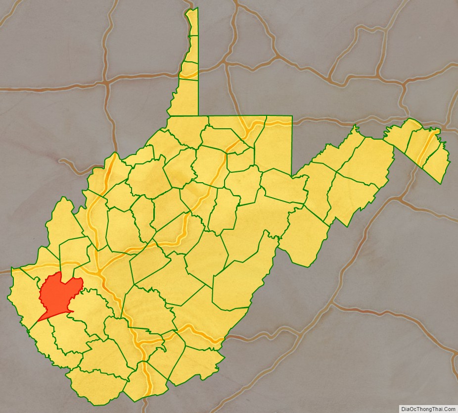
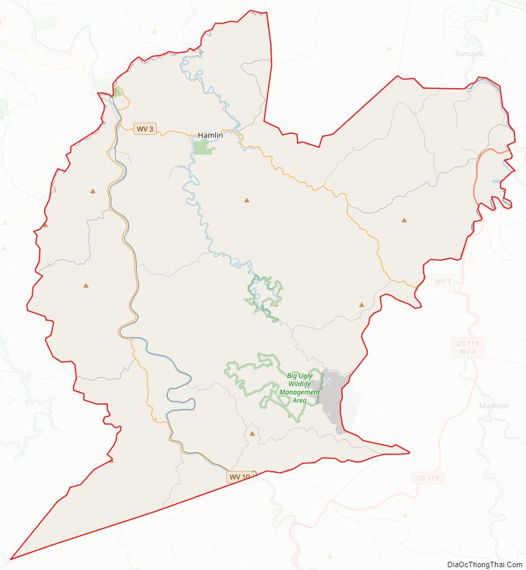
Lincoln County Road Map
Geography
According to the United States Census Bureau, the county has a total area of 439 square miles (1,140 km), of which 437 square miles (1,130 km) is land and 1.6 square miles (4.1 km) (0.4%) is water.
Major highways
- U.S. Highway 119
- West Virginia Route 3
- West Virginia Route 10
- West Virginia Route 34
- West Virginia Route 37
- West Virginia Route 214
Adjacent counties
- Putnam County (north)
- Kanawha County (northeast)
- Boone County (southeast)
- Logan County (south)
- Mingo County (southwest)
- Wayne County (west)
- Cabell County (northwest)
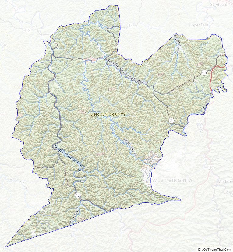
Lincoln County Topographic Map
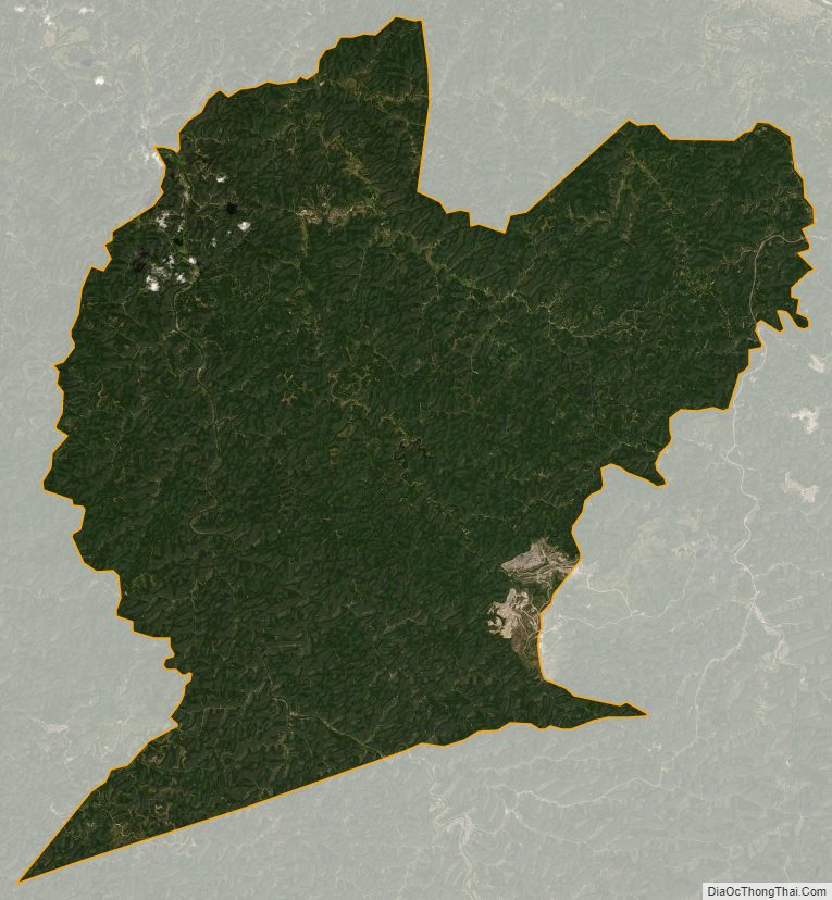
Lincoln County Satellite Map
Lincoln County Outline Map