Blountstown is a city and the county seat of Calhoun County, Florida, United States. . As of the 2020 census, the city had a population of 2,266.
| Name: | Blountstown city |
|---|---|
| LSAD Code: | 25 |
| LSAD Description: | city (suffix) |
| State: | Florida |
| County: | Calhoun County |
| Elevation: | 62 ft (19 m) |
| Total Area: | 3.20 sq mi (8.28 km²) |
| Land Area: | 3.19 sq mi (8.25 km²) |
| Water Area: | 0.01 sq mi (0.03 km²) |
| Total Population: | 2,266 |
| Population Density: | 711.01/sq mi (274.50/km²) |
| ZIP code: | 32424 |
| Area code: | 850 |
| FIPS code: | 1206925 |
| GNISfeature ID: | 0279006 |
| Website: | blountstownfl.govoffice3.com |
Online Interactive Map
Click on ![]() to view map in "full screen" mode.
to view map in "full screen" mode.
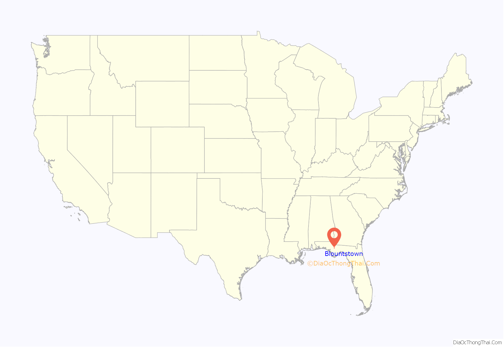
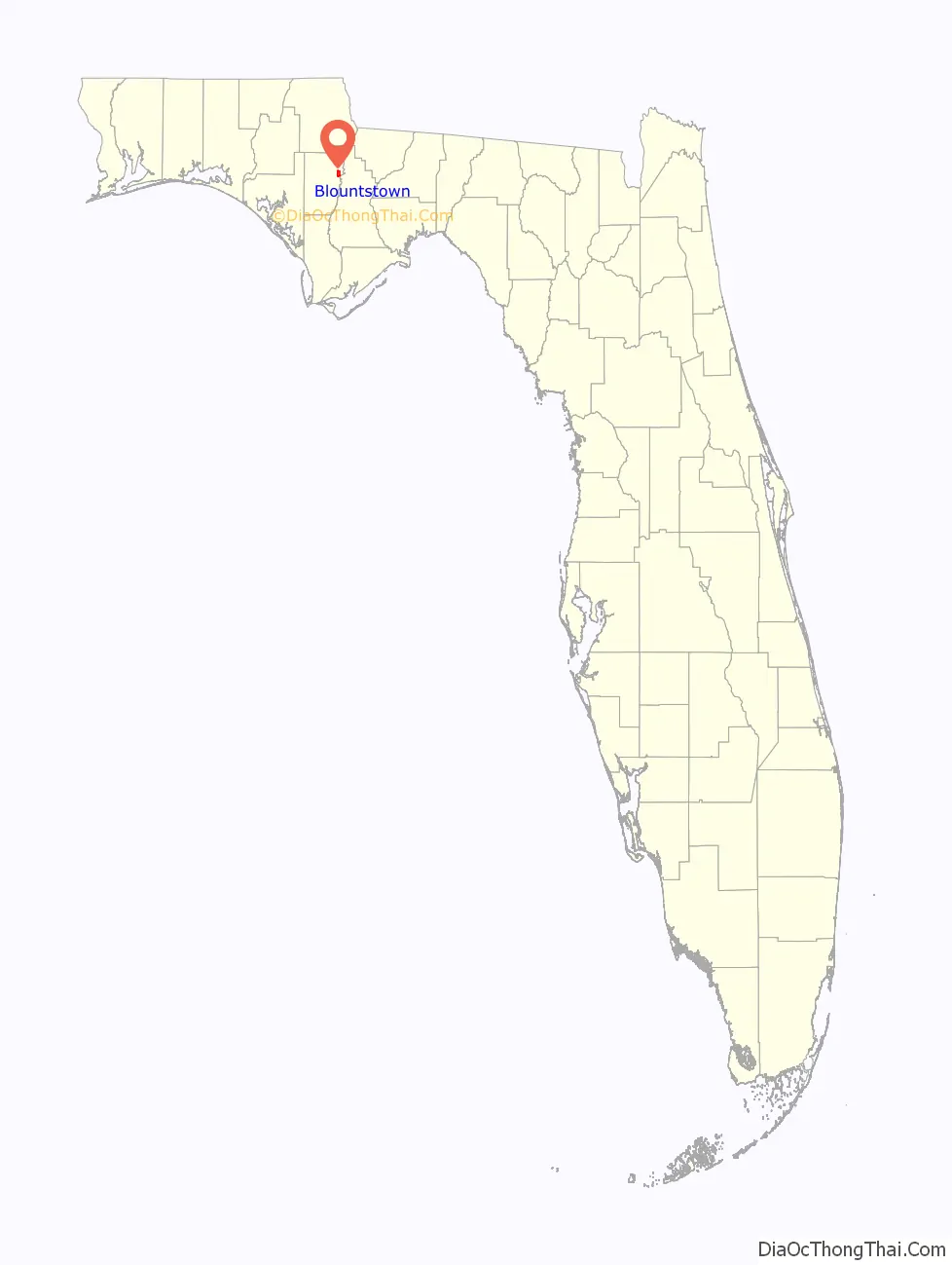
Blountstown location map. Where is Blountstown city?
History
Blountstown was originally named for a Seminole Chief (John Blount), who had been awarded land in the vicinity by Andrew Jackson for aiding Jackson in his battles against the Native Americans. However, he was forced to move from Florida to Texas in the 1830s. He died soon after being relocated.
In the late 1850s, there was an open and violent feud between two rival factions which included the local Durden family. At one point, the Durdens and their rivals had a “pitched battle” at the courthouse square in Blountstown.
On October 10, 2018, Blountstown was nearly annihilated when Category 5 Hurricane Michael struck the town. The city was without power for almost three weeks and over 80% of homes and businesses were heavily damaged or destroyed. Blountstown High School suffered heavy damage, but Blountstown Elementary School was completely destroyed. In addition, the local timber and farming industries, which are Calhoun County’s largest industries, were completely destroyed, costing millions of dollars in economic loss.
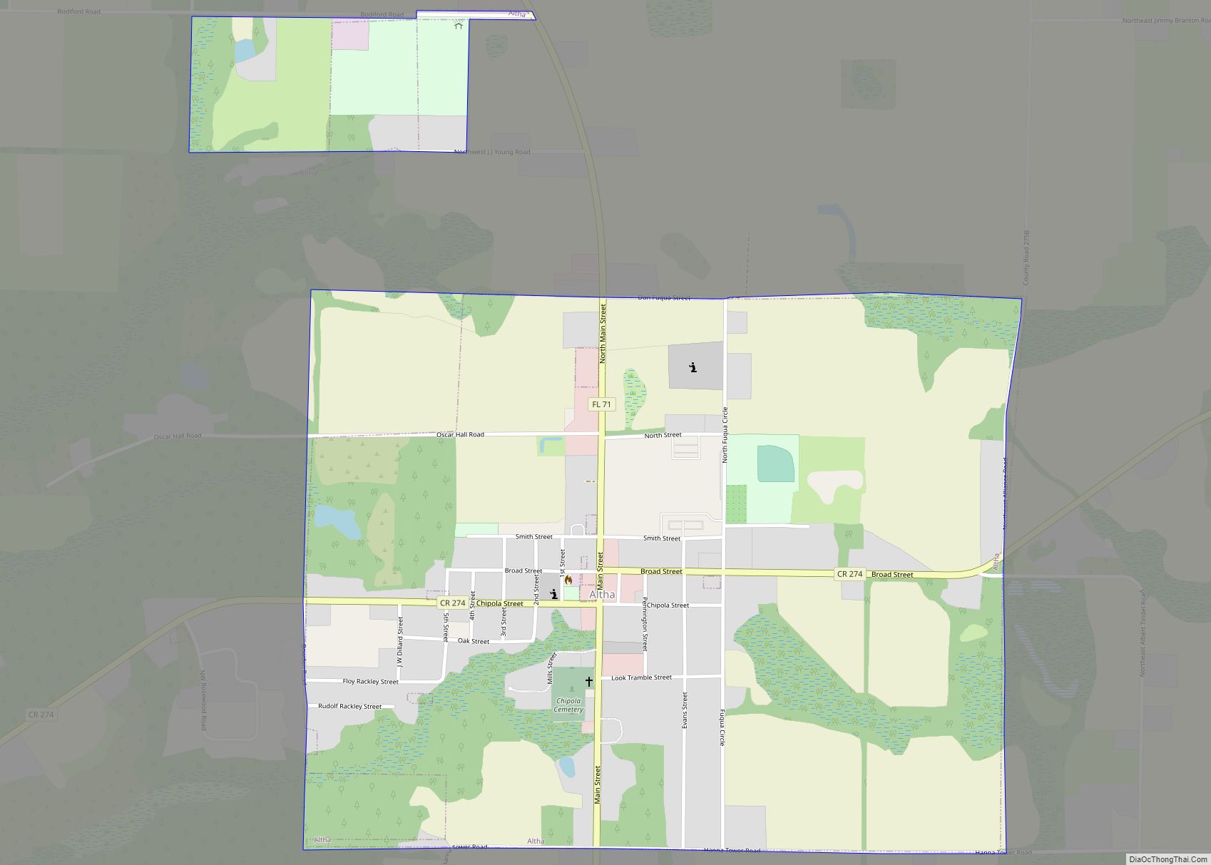
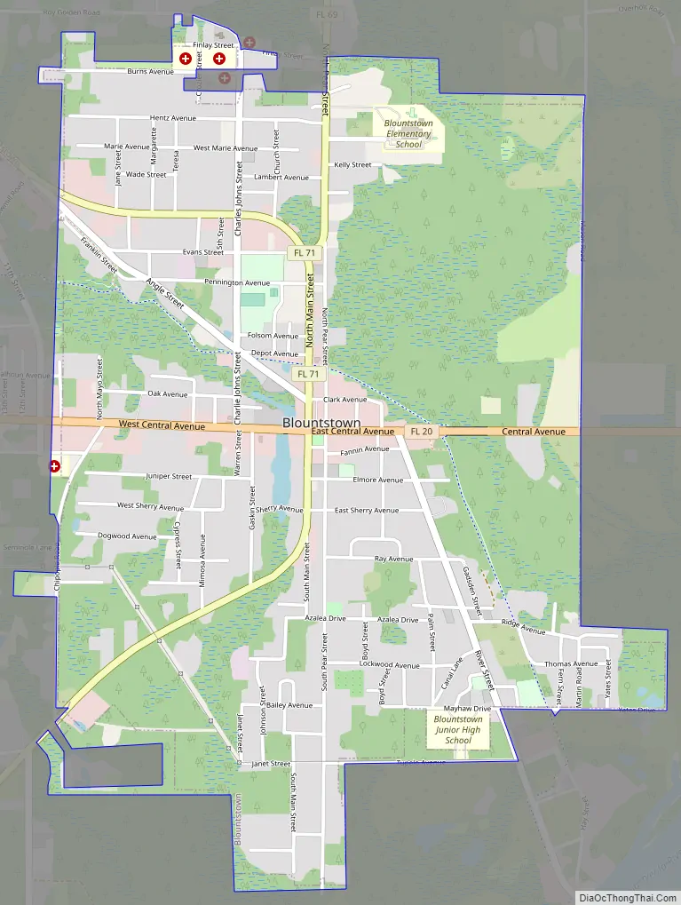
Blountstown Road Map
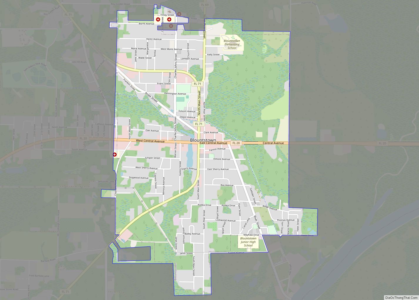
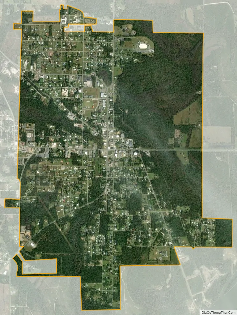
Blountstown city Satellite Map
Geography
Blountstown is located at 30°26′35″N 85°02′43″W / 30.442957°N 85.045402°W / 30.442957; -85.045402.
According to the United States Census Bureau, the city has a total area of 3.2 square miles (8.3 km), of which 3.2 square miles (8.3 km) is land and 0.31% is water.
Directly to the east lies Bristol in Liberty County. Blountstown and Calhoun County uses the Central Time Zone, as opposed to Liberty County which is in the Eastern Time Zone.
See also
Map of Florida State and its subdivision:- Alachua
- Baker
- Bay
- Bradford
- Brevard
- Broward
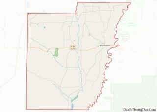
- Calhoun
- Charlotte
- Citrus
- Clay
- Collier
- Columbia
- Desoto
- Dixie
- Duval
- Escambia
- Flagler
- Franklin
- Gadsden
- Gilchrist
- Glades
- Gulf
- Hamilton
- Hardee
- Hendry
- Hernando
- Highlands
- Hillsborough
- Holmes
- Indian River
- Jackson
- Jefferson
- Lafayette
- Lake
- Lee
- Leon
- Levy
- Liberty
- Madison
- Manatee
- Marion
- Martin
- Miami-Dade
- Monroe
- Nassau
- Okaloosa
- Okeechobee
- Orange
- Osceola
- Palm Beach
- Pasco
- Pinellas
- Polk
- Putnam
- Saint Johns
- Saint Lucie
- Santa Rosa
- Sarasota
- Seminole
- Sumter
- Suwannee
- Taylor
- Union
- Volusia
- Wakulla
- Walton
- Washington
- Alabama
- Alaska
- Arizona
- Arkansas
- California
- Colorado
- Connecticut
- Delaware
- District of Columbia
- Florida
- Georgia
- Hawaii
- Idaho
- Illinois
- Indiana
- Iowa
- Kansas
- Kentucky
- Louisiana
- Maine
- Maryland
- Massachusetts
- Michigan
- Minnesota
- Mississippi
- Missouri
- Montana
- Nebraska
- Nevada
- New Hampshire
- New Jersey
- New Mexico
- New York
- North Carolina
- North Dakota
- Ohio
- Oklahoma
- Oregon
- Pennsylvania
- Rhode Island
- South Carolina
- South Dakota
- Tennessee
- Texas
- Utah
- Vermont
- Virginia
- Washington
- West Virginia
- Wisconsin
- Wyoming