Fairfield is the county seat of and the only village in Camas County, Idaho. The population was 410 at the time of 2010 census, nearly half of the rural county’s population.
| Name: | Fairfield city |
|---|---|
| LSAD Code: | 25 |
| LSAD Description: | city (suffix) |
| State: | Idaho |
| County: | Camas County |
| Elevation: | 5,066 ft (1,544 m) |
| Total Area: | 0.88 sq mi (2.27 km²) |
| Land Area: | 0.88 sq mi (2.27 km²) |
| Water Area: | 0.00 sq mi (0.00 km²) |
| Total Population: | 416 |
| Population Density: | 450.91/sq mi (174.07/km²) |
| ZIP code: | 83322, 83327 |
| Area code: | 208 |
| FIPS code: | 1626290 |
| GNISfeature ID: | 0399870 |
| Website: | cityoffairfieldidaho.com |
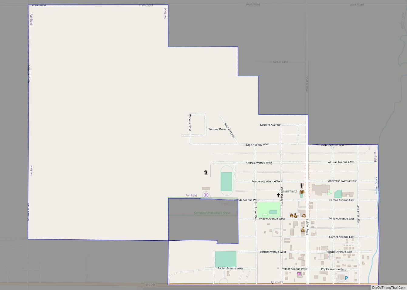
Online Interactive Map
Click on ![]() to view map in "full screen" mode.
to view map in "full screen" mode.
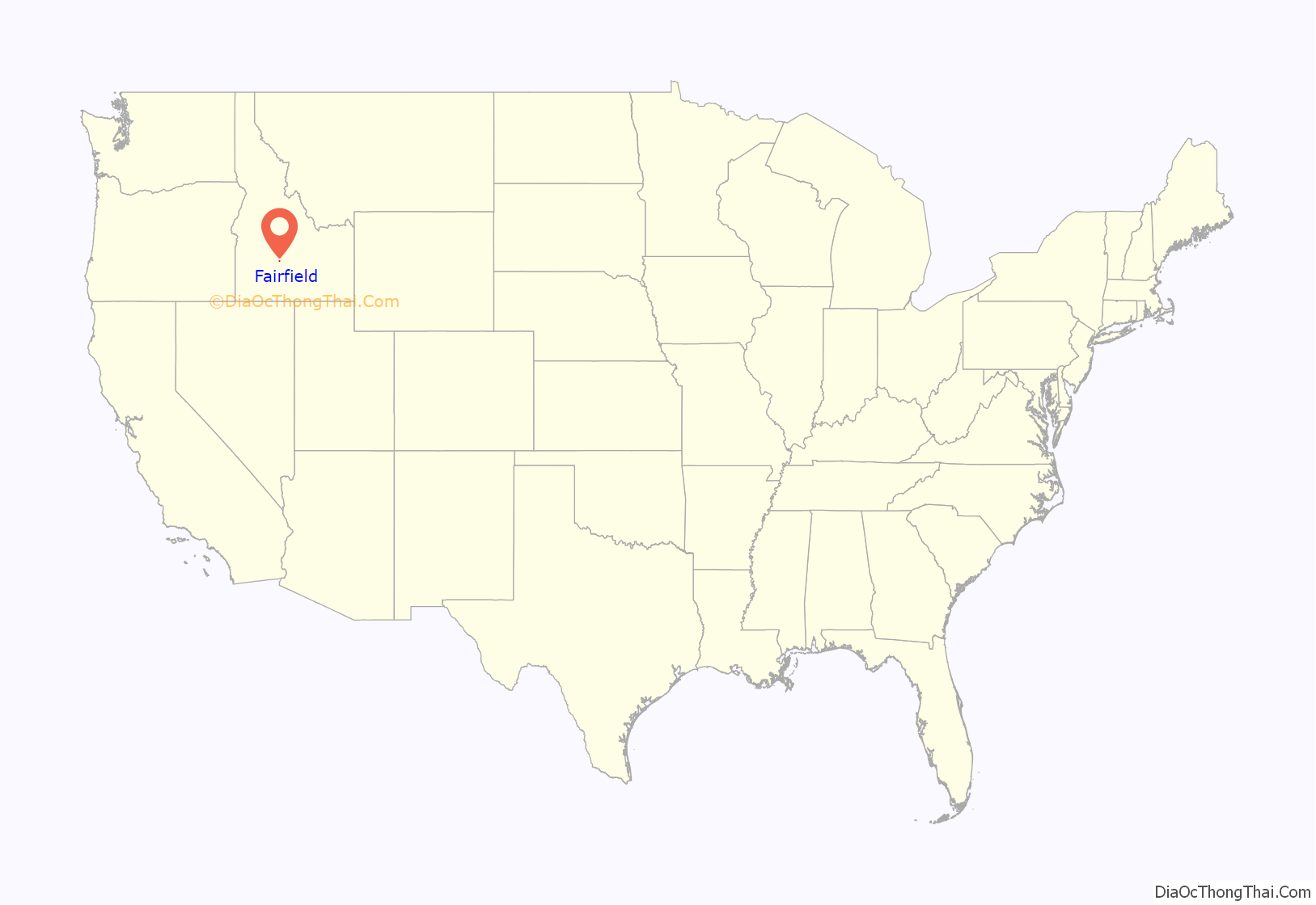
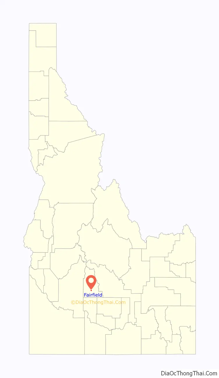
Fairfield location map. Where is Fairfield city?
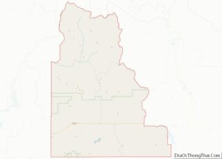
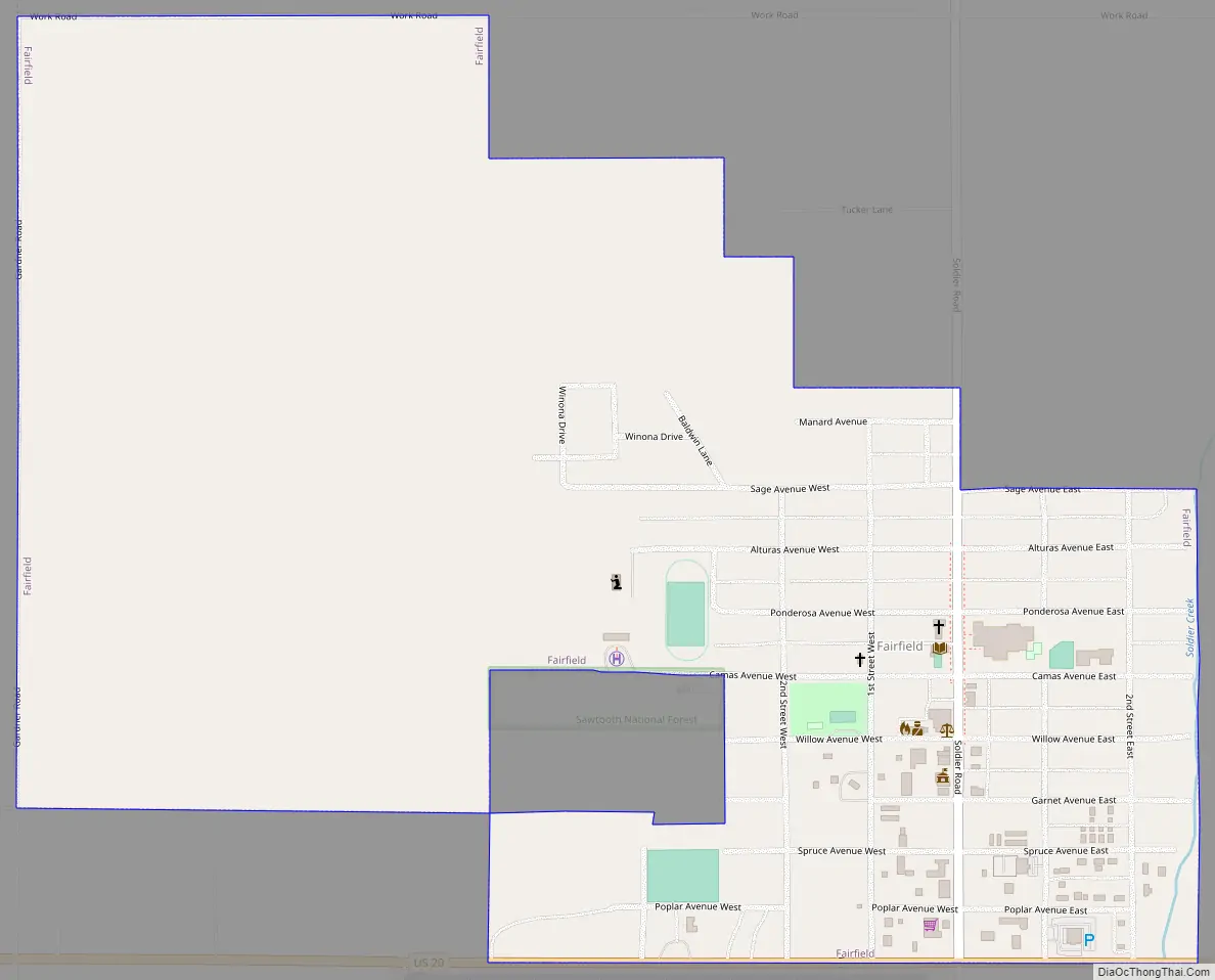
Fairfield Road Map
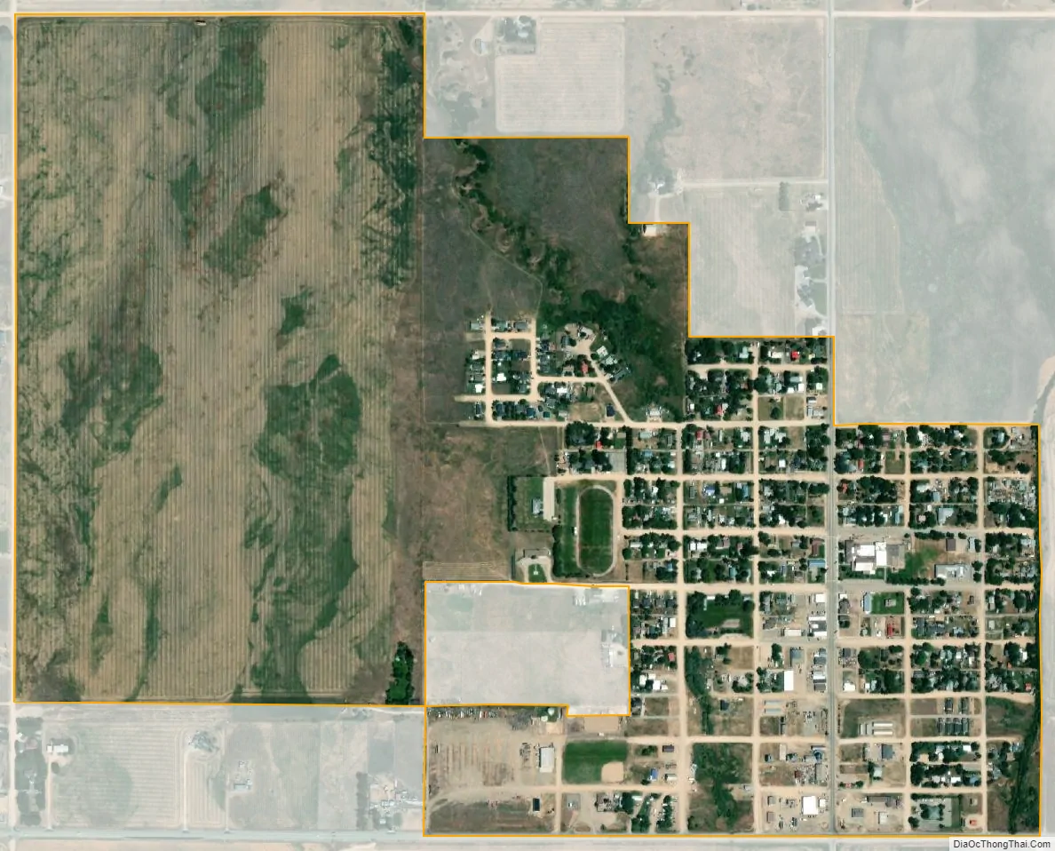
Fairfield city Satellite Map
Geography
Fairfield is located at City 43°20′46″N 114°47′28″W / 43.34611°N 114.79111°W / 43.34611; -114.79111 (43.346000, -114.791159), at an elevation of 5,066 feet (1,544 m) above sea level.
According to the United States Census Bureau, the village has a total area of 0.88 square miles (2.28 km), all of it land.
Climate
According to the Köppen Climate Classification system, Fairfield has a warm-summer mediterranean continental climate, abbreviated “Dsb” on climate maps. The hottest temperature recorded in Fairfield was 101 °F (38.3 °C) on July 12–14, 2002 and August 9, 2012, while the coldest temperature recorded was −42 °F (−41.1 °C) on January 19, 1984.
See also
Map of Idaho State and its subdivision:- Ada
- Adams
- Bannock
- Bear Lake
- Benewah
- Bingham
- Blaine
- Boise
- Bonner
- Bonneville
- Boundary
- Butte
- Camas
- Canyon
- Caribou
- Cassia
- Clark
- Clearwater
- Custer
- Elmore
- Franklin
- Fremont
- Gem
- Gooding
- Idaho
- Jefferson
- Jerome
- Kootenai
- Latah
- Lemhi
- Lewis
- Lincoln
- Madison
- Minidoka
- Nez Perce
- Oneida
- Owyhee
- Payette
- Power
- Shoshone
- Teton
- Twin Falls
- Valley
- Washington
- Alabama
- Alaska
- Arizona
- Arkansas
- California
- Colorado
- Connecticut
- Delaware
- District of Columbia
- Florida
- Georgia
- Hawaii
- Idaho
- Illinois
- Indiana
- Iowa
- Kansas
- Kentucky
- Louisiana
- Maine
- Maryland
- Massachusetts
- Michigan
- Minnesota
- Mississippi
- Missouri
- Montana
- Nebraska
- Nevada
- New Hampshire
- New Jersey
- New Mexico
- New York
- North Carolina
- North Dakota
- Ohio
- Oklahoma
- Oregon
- Pennsylvania
- Rhode Island
- South Carolina
- South Dakota
- Tennessee
- Texas
- Utah
- Vermont
- Virginia
- Washington
- West Virginia
- Wisconsin
- Wyoming