| Name: | Carbon County |
|---|---|
| FIPS code: | 56-007 |
| State: | Wyoming |
| Founded: | December 16, 1868 |
| Named for: | Coal deposits |
| Seat: | Rawlins |
| Largest city: | Rawlins |
| Total Area: | 7,964 sq mi (20,630 km²) |
| Land Area: | 7,898 sq mi (20,460 km²) |
| Total Population: | 14,537 |
| Population Density: | 1.8/sq mi (0.70/km²) |
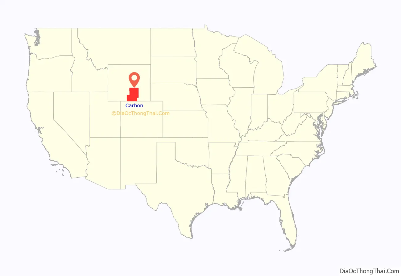
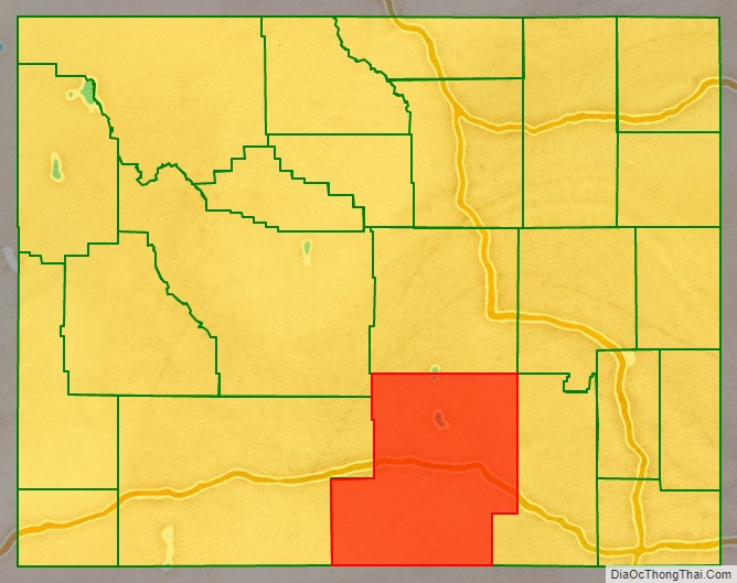
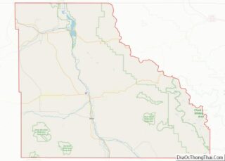
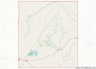
Carbon County location map. Where is Carbon County?
History
Carbon County was organized in 1868, one of the five original counties in Dakota Territory.
Originally about 3,400 square miles (8,800 km) near the center of Wyoming, Carbon County was once part of the Spanish Empire, then part of the Republic of Texas (1835-1845) and part of the State of Texas until 1852 when the northernmost part of that state’s claims were ceded to the US government. This area is defined by the 42nd parallel on the north, and straight lines south from there to the headwaters of the Arkansas river on the east and the headwaters of the Rio Grande on the west. The documents defining that area include the Adams-Onís Treaty of 1819, the 1824 Constitution of Mexico, and the 1845 “Joint Resolution for the Admission of the State of Texas into the Union”.
Carbon County was organized December 16, 1868, from Laramie County in Dakota Territory, which at the time had jurisdiction over part of modern-day Wyoming. It became a county in Wyoming Territory when that territory’s government was formally organized on May 19, 1869.
In 1868, the Union Pacific Railroad opened the first coal mine in Carbon County, and the county was named for its extensive coal deposits. In 1875, Carbon County lost territory when Johnson County was created by the legislature of the Wyoming Territory. Natrona County was created with land ceded by Carbon County in 1888. The boundaries of the county were final at that time except for minor adjustments in 1911.
From 1978 to 1982, Carbon County was represented in the Wyoming House of Representatives by Democrat Thomas E. Trowbridge (1930-2009) of Saratoga, a Nebraska native. From 1982 to 1986, Trowbridge was a member of the Wyoming State Senate. He was later appointed by Governor Mike Sullivan to the Wyoming State Board of Equalization. Trowbridge’s father, Elton Trowbridge, held the state House seat from Carbon County from 1961 until his death in office in 1974.
George R. Salisbury Jr., a rancher from Savery, represented Carbon County in the Wyoming House from 1975 to 1986. He was succeeded in office by his son-in-law and fellow Democrat, Patrick F. O’Toole, also a Savery rancher.
Carbon County Road Map
Geography
According to the US Census Bureau, the county has a total area of 7,964 square miles (20,630 km), of which 7,898 square miles (20,460 km) is land and 66 square miles (170 km) (2.0%) is water. It is the third-largest county in Wyoming by area.
Major highways
- Interstate 80
- U.S. Highway 30
- U.S. Highway 287
Adjacent counties
- Sweetwater County – west
- Fremont County – northwest
- Natrona County – north
- Converse County – northeast
- Albany County – east
- Jackson County, Colorado – southeast
- Routt County, Colorado – south
- Moffat County, Colorado – southwest
National protected areas and State historical sites
- Fort Fred Steele State Historic Site
- Medicine Bow National Forest (part)
- Pathfinder National Wildlife Refuge (part)
