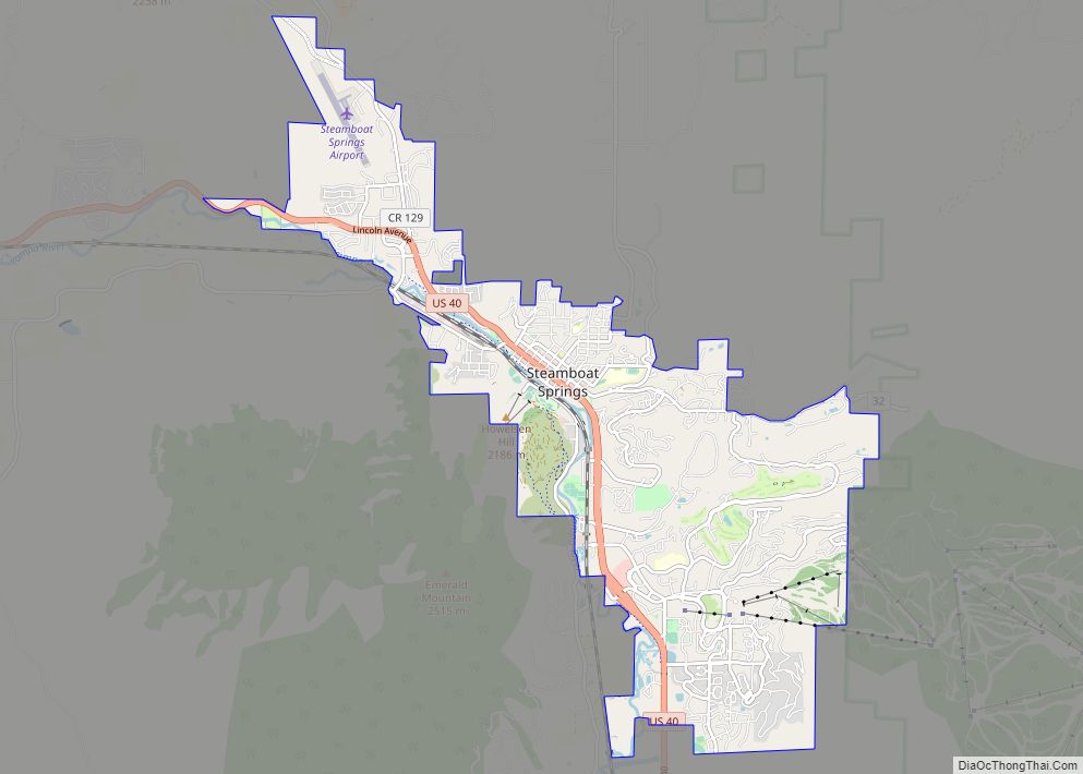
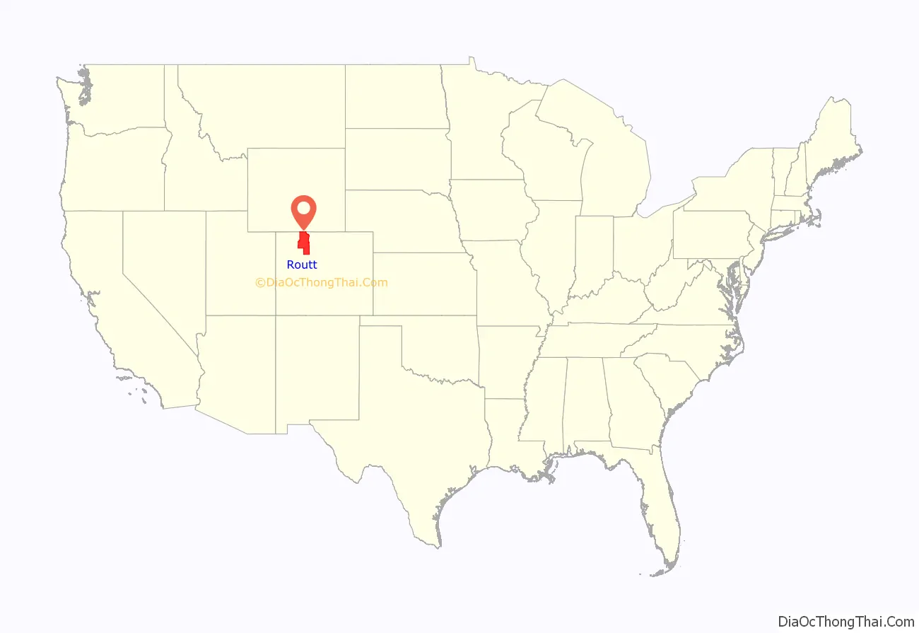
Routt County is a county located in the U.S. state of Colorado. As of the 2020 census, the population was 24,829. The county seat is Steamboat Springs. Routt County comprises the Steamboat Springs, CO Micropolitan Statistical Area.
| Name: | Routt County |
|---|---|
| FIPS code: | 08-107 |
| State: | Colorado |
| Founded: | January 29, 1877 |
| Named for: | John Long Routt |
| Seat: | Steamboat Springs |
| Largest city: | Steamboat Springs |
| Total Area: | 2,368 sq mi (6,130 km²) |
| Land Area: | 2,362 sq mi (6,120 km²) |
| Total Population: | 25,091 |
| Population Density: | 11/sq mi (4/km²) |
| Time zone: | UTC−7 (Mountain) |
| Summer Time Zone (DST): | UTC−6 (MDT) |
| Website: | www.co.routt.co.us |
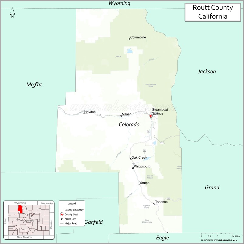
Routt County location map. Where is Routt County?
History
Placer gold was found near Hahns Peak in 1864 as part of the Colorado Gold Rush.
Routt County was created out of the western portion of Grand County on January 29, 1877. It was named in honor of John Long Routt, the last territorial and first state governor of Colorado. The western portion of Routt County was split off to form Moffat County on February 27, 1911.
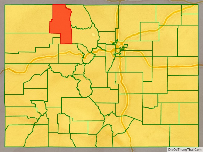
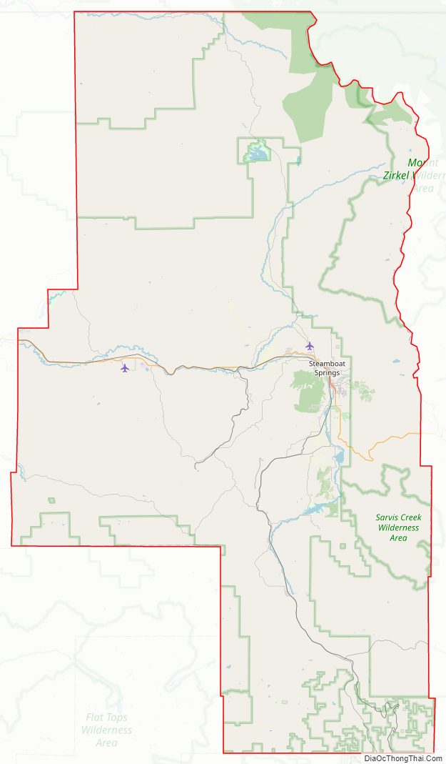
Routt County Road Map
Geography
According to the U.S. Census Bureau, the county has a total area of 2,368 square miles (6,130 km), of which 2,362 square miles (6,120 km) is land and 6.1 square miles (16 km) (0.3%) is water.
Adjacent counties
- Carbon County, Wyoming – north
- Jackson County – east
- Grand County – southeast
- Eagle County – south
- Garfield County – south-southwest
- Rio Blanco County – southwest
- Moffat County – west
Major Highways
- U.S. Highway 40
- State Highway 131
- State Highway 134
National protected areas
- Mount Zirkel Wilderness
- Routt National Forest
- Sarvis Creek Wilderness
- White River National Forest
State protected areas
- Pearl Lake State Park
- Stagecoach State Park
- Steamboat Lake State Park
- Yampa River State Park
Trails and byways
- Continental Divide National Scenic Trail
- Fish Creek Falls National Recreation Trail
- Flat Tops Trail Scenic Byway
- Great Parks Bicycle Route
- Swamp Park National Recreation Trail
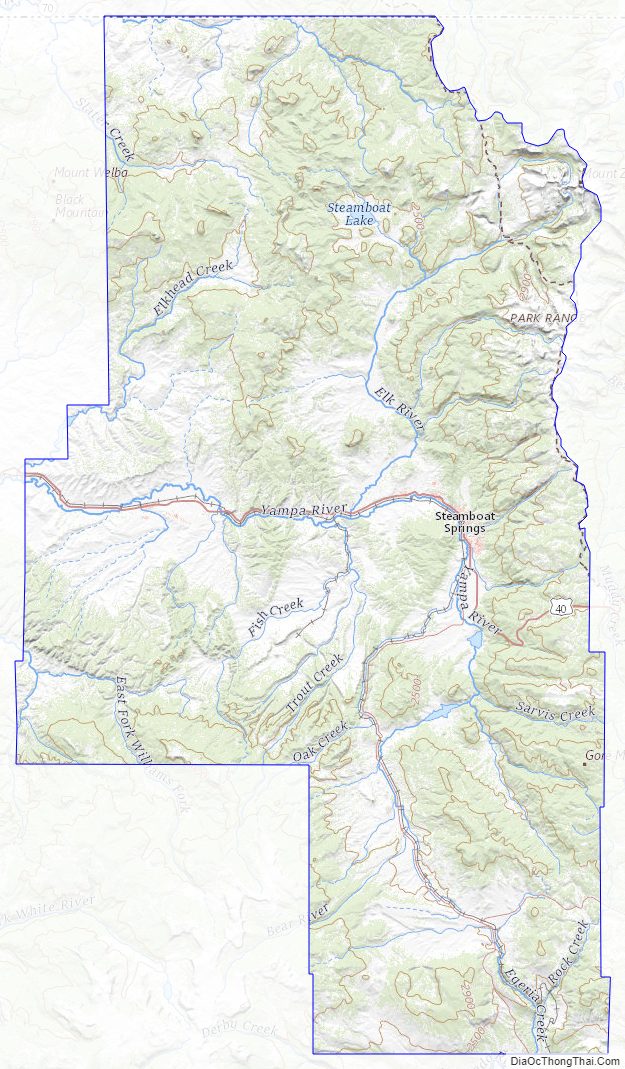
Routt County Topographic Map
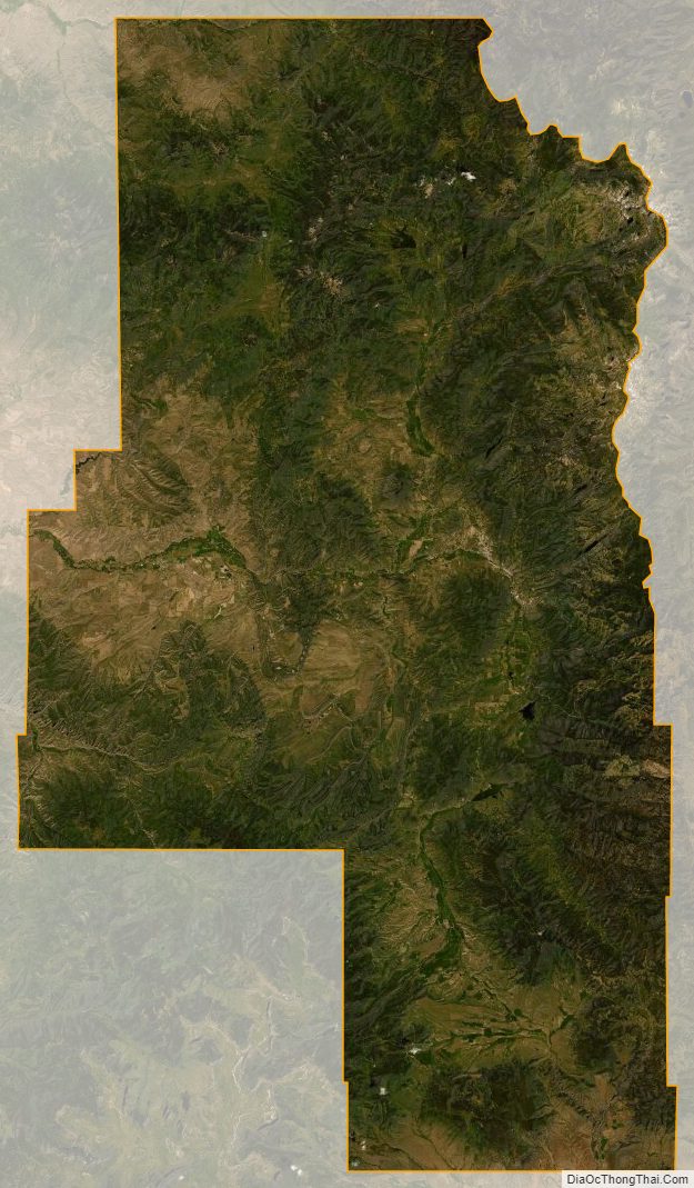
Routt County Satellite Map
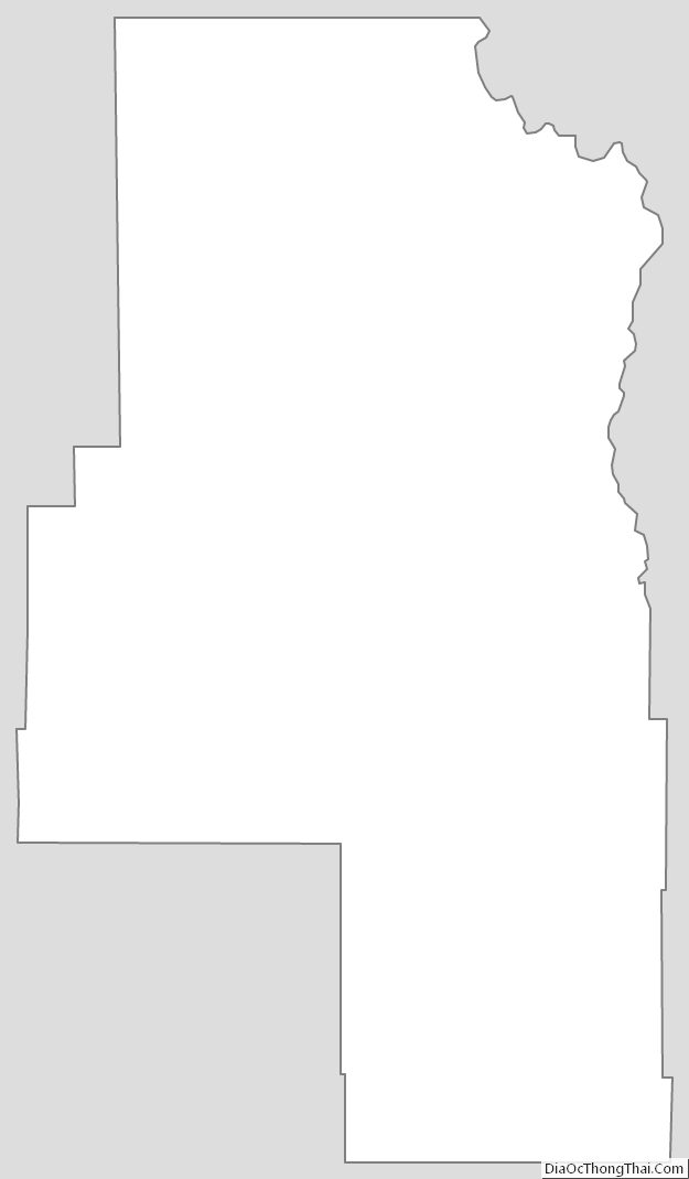
Routt County Outline Map