Jackson County is a county located in the U.S. state of Colorado. As of the 2020 census, the population was 1,379, and it was the fourth least populated in the state. The county is named after the United States President Andrew Jackson. The county seat and only municipality in the county is Walden.
| Name: | Jackson County |
|---|---|
| FIPS code: | 08-057 |
| State: | Colorado |
| Founded: | May 5, 1909 |
| Named for: | Andrew Jackson |
| Seat: | Walden |
| Largest town: | Walden |
| Total Area: | 1,621 sq mi (4,200 km²) |
| Land Area: | 1,614 sq mi (4,180 km²) |
| Total Population: | 1,363 |
| Population Density: | 0.9/sq mi (0.3/km²) |
| Time zone: | UTC−7 (Mountain) |
| Summer Time Zone (DST): | UTC−6 (MDT) |
| Website: | jacksoncountycogov.com |
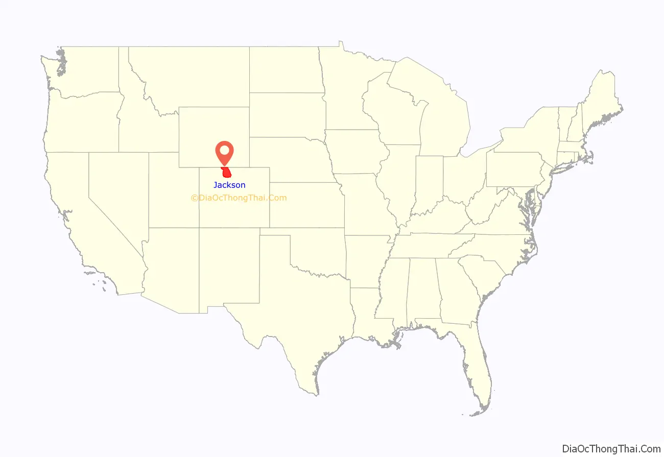
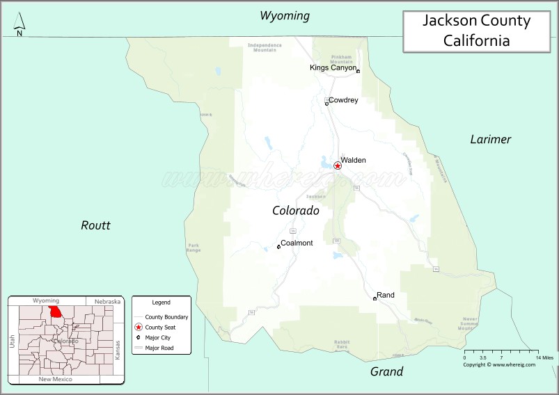
Jackson County location map. Where is Jackson County?
History
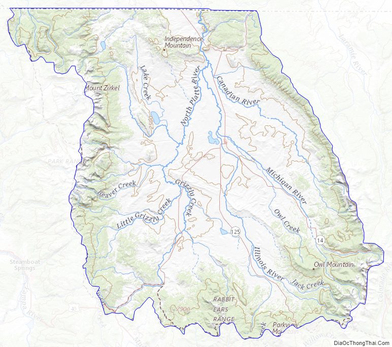
Most of Jackson County is a high relatively broad intermontane basin known as North Park, which covers 1,613 square miles (4,180 km). This basin opens north into Wyoming and is rimmed on the west by the Park Range and Sierra Madre Range, on the south by the Rabbit Ears Range and the Never Summer Mountains, and on the east by the Medicine Bow Mountains. Elevations range from 7,800 to 12,953 feet (3,948 m) above sea level and is home to the head waters of the North Platte River. The term park is derived from parc, the French word for game preserve. At one time North Park was filled with herds of deer, antelope and buffalo. There were so many buffalo in the area the Ute Tribe gave North Park the name “Bull Pen.” Now deer, elk, and cattle vie for the same area.
In November 1861, Colorado set up 17 counties for the state, including Larimer County. This was where Jackson County would be carved out of in 1909. Before then, both Grand and Larimer Counties claimed the North Park area. In the beginning, no one paid much attention to North Park because it was hunting grounds of the Ute and Arapaho Indians. They fiercely defended these lands and the white settlers were often afraid to venture in. When valuable minerals were discovered in North Park, Grand County claimed it as part of their county because they wanted the revenue it would provide. The residents didn’t care much because the county seat for Grand County was closer than the one in Larimer County, and all official business needed to be done at the county seat. But Larimer also claimed this county and it was contested all the way to the Colorado Supreme Court. In 1886 the court decided in favor of Larimer. This did not make the North Park residents very happy and they pushed for their own county until Jackson was formed.
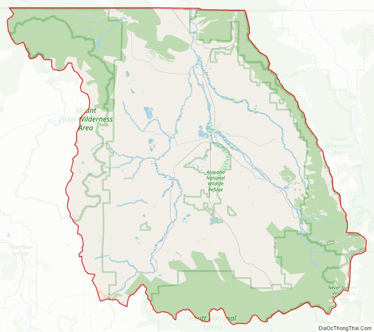
Jackson County Road Map
Geography
According to the U.S. Census Bureau, the county has a total area of 1,621 square miles (4,200 km), of which 1,614 square miles (4,180 km) is land and 7.2 square miles (19 km) (0.9%) is water.
Jackson County contains the 71,000-acre (290 km) Colorado State Forest.
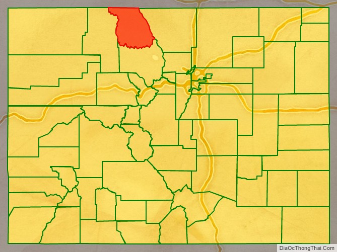
Adjacent counties
- Albany County, Wyoming – northeast
- Larimer County – east
- Grand County – south
- Routt County – west
- Carbon County, Wyoming – northwest
Major Highways
- U.S. Highway 40
- State Highway 14
- State Highway 125
- State Highway 127
Airport
Jackson County Airport
Jackson County Airport Info
Jackson County Topographic Map
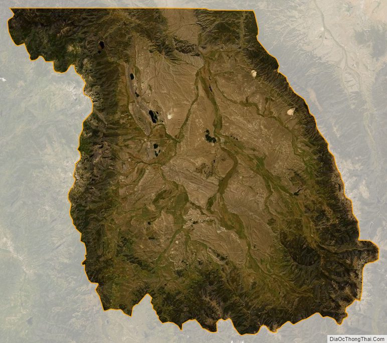
Jackson County Satellite Map
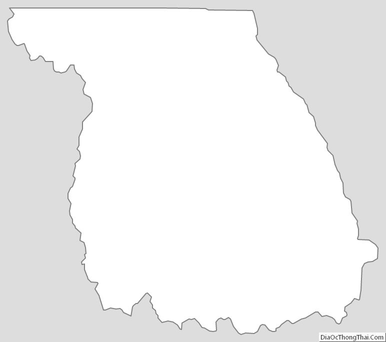
Jackson County Outline Map